


 Mar 7, 2015, 9:08 pm

Airline Route Mapper tool (windows based)
Feb 24, 2010 | 1:37 am
#241


Join Date: Sep 2003
Location: Terra Australis Cognita
Posts: 5,353
http://openflights.org/data.html
 Feb 24, 2010 | 5:46 am
#242
Join Date: Dec 2008
Programs: UA Gold; US TIB; Hyatt Diamond
Posts: 248
The route data is encoded in the routes.dat file within the application zip file. Or if you'd like it predigested with unique IDs (as opposed to often duplicated IATA codes) for airlines and airports, download it from OpenFlights:
http://openflights.org/data.html
http://openflights.org/data.html
It looks like the Openflights routes.dat is a different/incompatible format (comma delimited) from the original ARM format (tab delimited). I would be willing to write a script to convert OF to ARM if OF's are updated more frequently (and I would donate to the OF cause, naturally
 )
)I do already have an OF account, and I find it useful for recording past trips, but nothing I've seen beats ARM for complex route planning.
On a side note: what are you using to generate those gorgeous world maps with airport locations & routes? GCM is great, but the images are to small - I'd love to be able to generate a large custom route map like what you've done.


 Feb 24, 2010 | 7:54 pm
#244
Join Date: Sep 2003
Location: Terra Australis Cognita
Posts: 5,353
It looks like the Openflights routes.dat is a different/incompatible format (comma delimited) from the original ARM format (tab delimited). I would be willing to write a script to convert OF to ARM if OF's are updated more frequently (and I would donate to the OF cause, naturally )
)
On a side note: what are you using to generate those gorgeous world maps with airport locations & routes? GCM is great, but the images are to small - I'd love to be able to generate a large custom route map like what you've done.
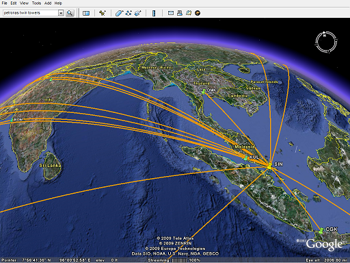
http://openflights.org/blog/2009/02/...-google-earth/
Feb 24, 2010 | 8:37 pm
#245
Join Date: Dec 2008
Programs: UA Gold; US TIB; Hyatt Diamond
Posts: 248
I'm speaking to you. 
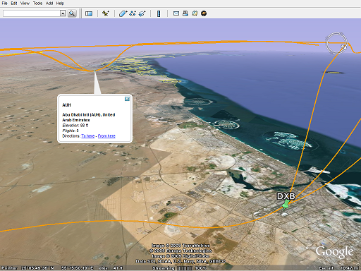
I know how to use KML/gEarth to do what I want, but I really like what you did with these: openflights-apdb-2048.png & openflights-routedb-2048.png. How did you gen them? I'd really like to recreate a map similar to the second one with only the routes I specify.
I know how to use KML/gEarth to do what I want, but I really like what you did with these: openflights-apdb-2048.png & openflights-routedb-2048.png. How did you gen them? I'd really like to recreate a map similar to the second one with only the routes I specify.
Feb 25, 2010 | 9:18 pm
#246
Join Date: Sep 2003
Location: Terra Australis Cognita
Posts: 5,353
I know how to use KML/gEarth to do what I want, but I really like what you did with these: openflights-apdb-2048.png & openflights-routedb-2048.png. How did you gen them? I'd really like to recreate a map similar to the second one with only the routes I specify.
http://openflights.svn.sourceforge.n...hp?view=markup
Customize the SQL to filter out what you want, eg. "WHERE r.alid=[numeric airline ID]" should do the trick if you want a single-airline map. The underlying map must be equirectangular (plate carree) projected, the default NASA Blue Marble map is in the same directory as map-2048.png.
Feb 26, 2010 | 3:20 pm
#247
Join Date: Dec 2008
Programs: UA Gold; US TIB; Hyatt Diamond
Posts: 248
Mar 6, 2010 | 3:07 am
#250
Original Poster


Join Date: Oct 2001
Location: Germany
Programs: LH SEN
Posts: 5,098
Mar 6, 2010 | 12:01 pm
#251
Join Date: Mar 2010
Posts: 35
The route data is encoded in the routes.dat file within the application zip file. Or if  you'd like it predigested with unique IDs (as opposed to often duplicated IATA codes) for airlines and airports, download it from OpenFlights:
http://openflights.org/data.html
you'd like it predigested with unique IDs (as opposed to often duplicated IATA codes) for airlines and airports, download it from OpenFlights:http://openflights.org/data.html
Last edited by helenkan; Aug 4, 2010 at 3:41 pm
Mar 31, 2010 | 11:47 pm
#253
Original Poster
Join Date: Oct 2001
Location: Germany
Programs: LH SEN
Posts: 5,098
Yes, I am thinking about a Wiki too (also for airlines).
Do you know of any aviation-themed wiki where this can be hosted, or should I do it myself?
Also, if you have any incorrectly placed airports (apart from the list you posted a while ago), you can post them here, so that I could get them into the April update.
Thanks!
Do you know of any aviation-themed wiki where this can be hosted, or should I do it myself?
Also, if you have any incorrectly placed airports (apart from the list you posted a while ago), you can post them here, so that I could get them into the April update.
Thanks!
Apr 1, 2010 | 12:18 am
#254
FlyerTalk Evangelist
Join Date: Jul 2003
Posts: 11,377
Apr 1, 2010 | 8:11 pm
#255
Join Date: Jan 2010
Posts: 7
A non-exhaustive list:
BPM 17.4531 78.4676 Hyderabad
HZH 26.3350 109.1500 Liping City
LDS 47.7149 128.8143 Yichun Shi (can't find exact coordinates, but is within a few km)
NBS 42.0880 127.5489 Chang Bai Shan (name of airport is Chang Bai Shan)
NVI 40.1150 65.1592 Navoi
PZI 26.5423 101.7985 Pan Zhi Hua
ZNA 49.1833 -123.9500 Nanaimo Harbour
I'm sure there are plenty more incorrect points in places I've never heard of...