Drone photography
#65
Suspended
Join Date: Oct 2004
Location: Bay Area
Programs: DL SM, UA MP.
Posts: 12,729
Skydio seemed to have spent money on the sensing, as opposed to the camera sensor:
https://photofocus.com/drones/skydio...-is-important/
It seems like Skydio 2 is more for people who want to film themselves while Mavic 2 uses what is presumably better imaging sensor for landscapes.
Then again, the marketing for Mvic Mini seems to be appealing to people ho want to film themselves, an extension of the selfie.
With so much more imaging data to process, one would expect the Skydio 2 has more processing power than the Mavics. If that is the case, another way Skydio could differentiate itself would be to use computational photography. Do they have the engineering resources though? If the obstacle avoidance and autonomous flying capabilities are as good as advertised, it would seem they do. But it may take imaging engineers who are up on the state of the art to try to do what Google and Apple, among other phone companies, have pulled off with the tiny sensors in mobile devices.
Skydio touts, 13 stops of dynamic range with the HDR photos and videos from their 1/2/3" 12.3 Mp Sony IMX577.
Primary thrust is the autonomous flying but of course consumers are going to want to end up with great media.
It would be good to see this company sustain competition in the market. But who knows whether they can sell and deliver enough product in volume to fund continued development.
“[The Skydio 2 has] 45 megapixels of visual sensing from six 200 degree color cameras, Skydio 2 can see everything in every direction with unprecedented resolution and clarity. This is the foundation of trustworthy autonomous flight.”
Compare this with 4.9 megapixels for the Mavic Pro.https://photofocus.com/drones/skydio...-is-important/
It seems like Skydio 2 is more for people who want to film themselves while Mavic 2 uses what is presumably better imaging sensor for landscapes.
Then again, the marketing for Mvic Mini seems to be appealing to people ho want to film themselves, an extension of the selfie.
With so much more imaging data to process, one would expect the Skydio 2 has more processing power than the Mavics. If that is the case, another way Skydio could differentiate itself would be to use computational photography. Do they have the engineering resources though? If the obstacle avoidance and autonomous flying capabilities are as good as advertised, it would seem they do. But it may take imaging engineers who are up on the state of the art to try to do what Google and Apple, among other phone companies, have pulled off with the tiny sensors in mobile devices.
Skydio touts, 13 stops of dynamic range with the HDR photos and videos from their 1/2/3" 12.3 Mp Sony IMX577.
Primary thrust is the autonomous flying but of course consumers are going to want to end up with great media.
It would be good to see this company sustain competition in the market. But who knows whether they can sell and deliver enough product in volume to fund continued development.
#66
Join Date: Oct 2019
Posts: 9
I've seen the Skydio 2 advertised.
The overwhelming articles I have read about it seem to be on the 'meh' side. It looks great on spec but usually when something seems too good to be true, it is.
I'd be a lot more interested to see what the uptake is and how many units they actually sell.
The overwhelming articles I have read about it seem to be on the 'meh' side. It looks great on spec but usually when something seems too good to be true, it is.
I'd be a lot more interested to see what the uptake is and how many units they actually sell.
#67
Join Date: Oct 2019
Posts: 9
Day to night hyperlapse to tutorial
Thought Id share the tutorial here.
https://dronephotographybible.com/ho...ail-technique/
It looks pretty detailed.
Sign up to their mailing list ands found it in my emails this morning.
Going to try it myself on the weekend (weather permitting).
https://dronephotographybible.com/ho...ail-technique/
It looks pretty detailed.
Sign up to their mailing list ands found it in my emails this morning.
Going to try it myself on the weekend (weather permitting).
#68
Suspended
Join Date: Oct 2004
Location: Bay Area
Programs: DL SM, UA MP.
Posts: 12,729
Thought Id share the tutorial here.
https://dronephotographybible.com/ho...ail-technique/
It looks pretty detailed.
Sign up to their mailing list ands found it in my emails this morning.
Going to try it myself on the weekend (weather permitting).
https://dronephotographybible.com/ho...ail-technique/
It looks pretty detailed.
Sign up to their mailing list ands found it in my emails this morning.
Going to try it myself on the weekend (weather permitting).
Looks interesting but the day to light transition is tough when you have at best 30 minute flight time.
And the software isn't cheap. Adobe Premiere is $30 a month by itself.
And I would really be surprised if you're allowed to fly over Marina Bay like that. In Singapore people get caned for spitting on the sidewalk but they're going to let you fly over a very popular area? Near sunset no less?
#69
Suspended
Join Date: Oct 2004
Location: Bay Area
Programs: DL SM, UA MP.
Posts: 12,729
BTW, I wanted to relate some experiences trying to comply with the various laws for drones in different countries.
1. Thailand -- they want you to register and show proof of 1 million THB liability coverage on your drone. One of the requirements to register is to have proof that you will be allowed entry to the country so you show a passport stamp. This makes it virtually impossible to get it registered before entering the country so I've given up on it completely.
There are some reports that cops may or may not hassle you and that you may be able to bribe them. I'm not going to bother. I will pack it because this trip will include a stop in Hong Kong, which doesn't have strict requirements.
2. Portugal - they want you to register as pilot and also register your drone. It was a huge PITA to get through this. I had to send a signed declaration by mail twice and it took awhile for them to get it. So now I have an active account on the AAN portal. You have to request permission for each area you want to fly in.
3. New Zealand - You don't specifically need a general permit but most bigger cities are prohibited and a lot of the areas away from the cities are DOC lands, kind of like their natural parks. So you can apply for DOC permits for each province, at about 75 NZD including taxes. I applied for and got approved for the Caterbury area, which will include areas around Lyttleton Harbor and Akaroa Harbor/Banks Peninsula.
But for Otago province, it's very limited. Nothing along Lake Hawea or near Lake Wanaka, nothing around Queenstown. They offered me limited permission along Glenorchy Road for another 75 NZD. It's a spectacularly beautiful area. But I may or may not be able to visit it this month, depending on the weather. So no way am I paying for a permit that I may not be able to use at all in my trip. Most of the areas they approved are near Dunedin and the Catlins, which are places I'm not even visiting. They're not issuing any permits near Mount Cook Village or Milford Sound at all. Yet they expect me to pay the 75 NZD fee because I requested some areas (Lake Wanaka and Lake Haewea) which are not in their Recommended List of DOC lands where drone permits may be issued.
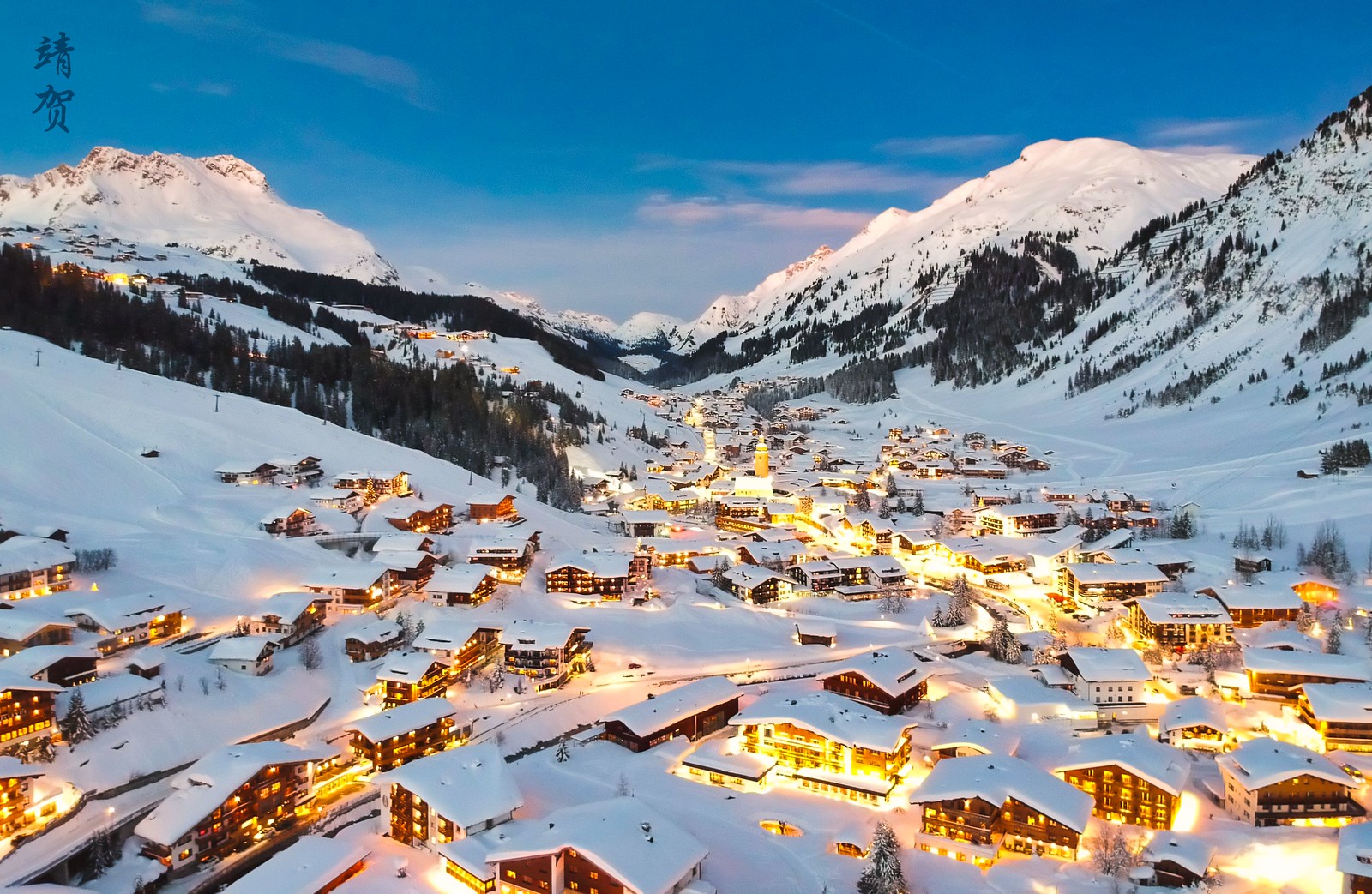
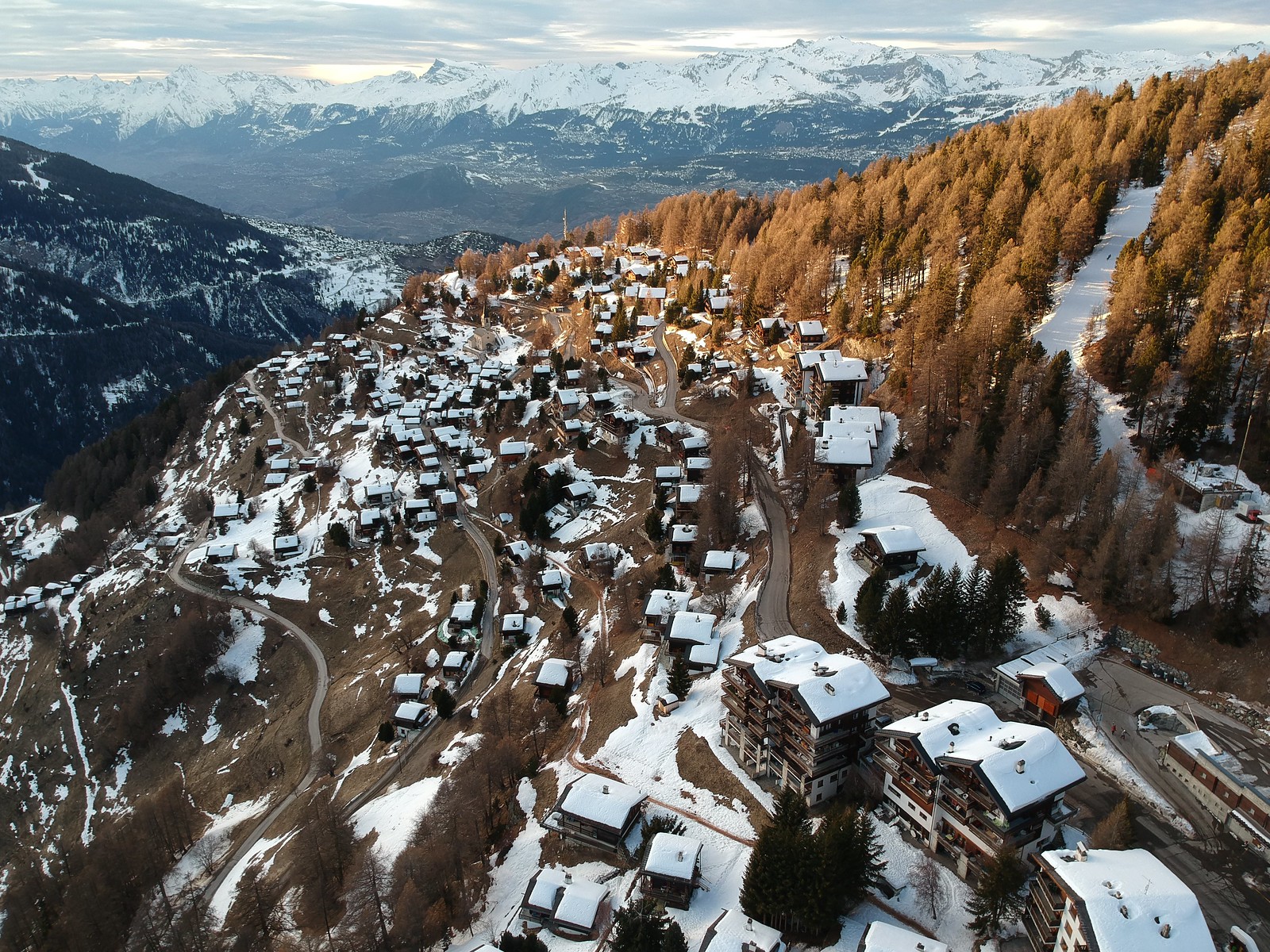
Finally, the EU is implementing a new set of drone rules for all of the EU starting in June 2020. One registration system, so I don't have to go through what I did with Portugal. It may open up some areas. For instance, you're not suppose to fly in Austria at all without paying for a rather pricey permit. So you may be able to fly in Austria in the second half of 2020 without paying for a pricey permit. Also may not have to request permissions for specific areas like in Portugal.
#70
Join Date: Dec 2001
Posts: 1,617
3. New Zealand - You don't specifically need a general permit but most bigger cities are prohibited and a lot of the areas away from the cities are DOC lands, kind of like their natural parks. So you can apply for DOC permits for each province, at about 75 NZD including taxes. I applied for and got approved for the Caterbury area, which will include areas around Lyttleton Harbor and Akaroa Harbor/Banks Peninsula.
Christchurch Council has lots of land in Canterbury including on the Banks Peninsula. Much of it has been declared "No Consent Required - Preferred Area" for drones with no need to apply for anything if your drone is under 1.5 kg
https://newsline.ccc.govt.nz/news/st...-drones-policy
https://ccc.govt.nz/parks-and-garden...rcraft-systems
#71
Suspended
Join Date: Oct 2004
Location: Bay Area
Programs: DL SM, UA MP.
Posts: 12,729
While a lot of areas away from the cities are DOC (Dept of Conservation) lands, local Councils control large amounts of land as well. Some councils have very drone friendly policies (e.g. Christchurch), while others seem to want to have nothing to do with them currently (e.g. Queenstown Lakes District).
Christchurch Council has lots of land in Canterbury including on the Banks Peninsula. Much of it has been declared "No Consent Required - Preferred Area" for drones with no need to apply for anything if your drone is under 1.5 kg
https://newsline.ccc.govt.nz/news/st...-drones-policy
https://ccc.govt.nz/parks-and-garden...rcraft-systems
I did get some good flights around Lyttelton Harbour, including from Godley Head Farm Reserve, for which I got permit from the Canterbury DOC office, for approximately $75 NZD. Windy but still manged to get some sun.
I applied for a similar permit for Otago DOC but they didn't approve of any of the specific areas I requested (whereas the Canterbury DOC did) except for Glenorchy Road and only because it was already on the recommended list of reserves they said drone pilots should apply for.
Most of the areas they approved were around Dunedin or the SE coast of South Island, which were areas I wasn't visiting at all. So the only place I would be able to use the permit would be Glenorchy Road, but even that wouldn't be guaranteed because I had no way of knowing what the weather would be like.
As it turned out, weather would have been good enough on one of the days. Instead I drove down to Devil's Staircase, near Kingston. That spot is about 25 km south of ZQN and doesn't have any restrictions according to the Airshare map. But I don't know if that is part of the QLDC or not. I emailed them and they didn't reply. So I flew over there, there was at least one other person flying a drone. But most people were just talking selfies against the mountains and the lake.
Now I'm scheduled to take a flight tour to Milford Sound, to get some aerial shots over QT. Though on one NZ flight that I took to AKL previously, I got some very good photos over the lake and the mountains shortly after takeoff from ZQN.
#72
Join Date: Dec 2001
Posts: 1,617
https://www.airshare.co.nz/my-flight...nt-information

Many seemed both shocked and very pleased, that I, an American, took their feelings and rights into consideration and sought them out for permission.
Instead I drove down to Devil's Staircase, near Kingston. That spot is about 25 km south of ZQN and doesn't have any restrictions according to the Airshare map. But I don't know if that is part of the QLDC or not. I emailed them and they didn't reply. So I flew over there, there was at least one other person flying a drone.
The Airshare map is mainly focused on NZ CAA (Civil Aviation Admin) restrictions and concerns. Without looking, I'd guess the CAA's nearest area of concern to Devil's Staircase would be the uncontrolled skydiving field a good ways up the road near Jack's Point. While Airshare also includes (and is continually adding) areas that restrict or permit drones based on land-owner's rights/policies, it isn't and can't be comprehensive because that would involve knowing the boundaries and current owners and policies for every property in NZ.
#73
Suspended
Join Date: Oct 2004
Location: Bay Area
Programs: DL SM, UA MP.
Posts: 12,729
Well I got some great aerial photos and videos by booking a plane tour to Milford Sound. Flew over QT and the snow capped mountains on the way to Milford Sound.
Bit pricey but I guess it’s one way.
may need to research what it would take to get a commercial permit if I revisit in the future.
Bit pricey but I guess it’s one way.
may need to research what it would take to get a commercial permit if I revisit in the future.
#75
Join Date: Jan 2006
Location: SFOSJCOAK
Programs: AA-EXP & 1MM+, AS, MR-LTT, HH Gold
Posts: 7,581
Quirrow,
Great shots!
Did you go to Halstatt? Love to see some aerial imagesfrom there (sun-rise and sunset).
To all drone pilots, have you even got stopped by authority to show permit?
Great shots!
Did you go to Halstatt? Love to see some aerial imagesfrom there (sun-rise and sunset).
To all drone pilots, have you even got stopped by authority to show permit?
Last edited by allset2travel; Mar 16, 2021 at 1:24 pm Reason: edit to add


