


The BA Cloud!

 Apr 1, 2017, 3:29 am
#767
Original Poster


Join Date: Nov 2010
Location: Bristol, UK
Programs: HH D, Rad VIP, Marriott G
Posts: 5,357
Thanks for the recent pics KARFA, ^ very nice indeed.
For those that do enjoy looking up (instead of down) or out the window...
The WMO (World Meteorological Organisation) International Cloud Atlas has been completed now and is available online, including many hydrometers so you can simply browse the database or compare what you have seen/recorded to the database pictures here:
https://www.wmocloudatlas.org/home.html
11 new cloud types have been included so you can brush up on your cloud lingo including:
Volutus
Flammagenitus
Homogenitus
Asperitus
Among others...enjoy! ^

 May 10, 2017, 4:06 pm
#772
Original Poster
Join Date: Nov 2010
Location: Bristol, UK
Programs: HH D, Rad VIP, Marriott G
Posts: 5,357

A great picture of the volatility of the atmosphere when you have moisture, warmth and add more heat...some excellent vertical development of the Cumulus into Towering Cumulus that may potentially develop into thunderstorms...you can picture the 'popcorn' like growth and energy in the picture, thanks for sharing. ^
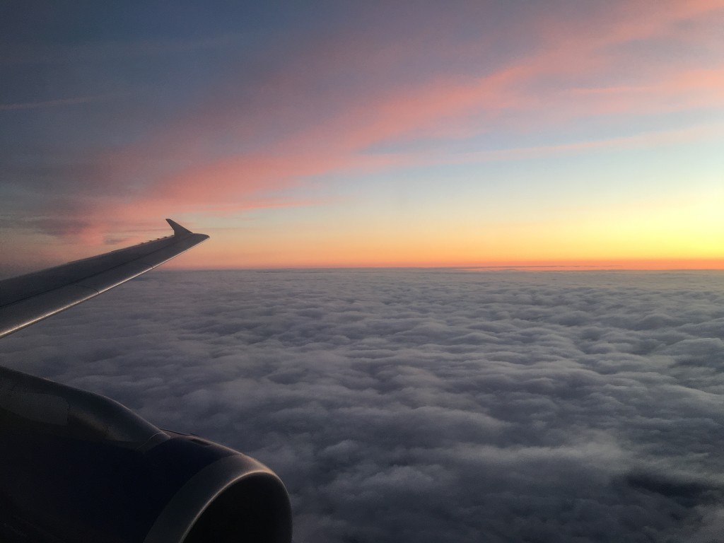
A great image as well, showing the textbook UK cloud scenario, some moisture at low levels, a bit less at mid levels and while there is some moisture around it is not warm enough nor being heated enough to get the convective action going on...some very nice typical UK Stratocumulus in that picture and a smattering of Altocumulus for good measure. The picture really captures the clouds well in a 3D aspect, thanks for sharing.
Thanks again to all those that contribute and to those that also enjoy looking up and out the window...Per Ardua Ad Astra; (freely interpreted) we have struggled to reach the stars so for goodness sake take a look around and enjoy the show mother nature is putting on just for you and specific to that moment in time!
Anyone else had some interesting weather or cloud pictures they are wanting to share or ask questions about? @:-)
May 26, 2017, 5:29 am
#773
Original Poster
Join Date: Nov 2010
Location: Bristol, UK
Programs: HH D, Rad VIP, Marriott G
Posts: 5,357
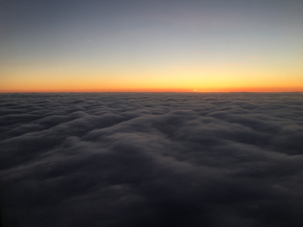
A few cloudscapes from my own travels recently:
First, hadn't been to Zurich airport before so I was pleasantly surprised to see this lovely sculpture in the main departures area...then on the way back to the UK I grabbed the two evening photos before the sun set...
Safe travels everyone on this bank holiday weekend, do make sure to while away some time staring at the magnificent sky during your travels.
 Jun 28, 2017, 12:47 pm
#775
Original Poster
Join Date: Nov 2010
Location: Bristol, UK
Programs: HH D, Rad VIP, Marriott G
Posts: 5,357
Out gazing at the clouds one hopes! 
An outstanding picture, thanks for sharing it! Love the way the Cumulonimbus tops are lit up from the lightning. ^ Was there quite a bit of lightning or were you just lucky (or just damn good at such pictures?)
Thanks for posting ^
Anyone else been on travels with BA/OW and seen/captured some weather they want to share or ask about?
Jun 29, 2017, 5:42 am
#776
Join Date: Jan 2011
Location: Split between MAN & AKL
Programs: BAEC GGL/CCR, SkyMiles Gold, Mucci deux fois
Posts: 619
Out gazing at the clouds one hopes!
An outstanding picture, thanks for sharing it! Love the way the Cumulonimbus tops are lit up from the lightning. ^ Was there quite a bit of lightning or were you just lucky (or just damn good at such pictures?)
Thanks for posting ^
Anyone else been on travels with BA/OW and seen/captured some weather they want to share or ask about?
Here are a couple more:

 Jun 29, 2017, 10:26 am
#777
Original Poster
Join Date: Nov 2010
Location: Bristol, UK
Programs: HH D, Rad VIP, Marriott G
Posts: 5,357
A couple of things from these pictures that we know:
-the winds aloft were not that strong as they did not cause the CB cloud tops to striate and become the typical mature phase Anvil shape.
-the clouds were still growing and had not yet used up all of the energy available (as the lightning and bulbous tops tell us)
-with the (I assume) setting Sun on the horizon, and after a day of the Sun heating up the landscape, the setting Sun has acted as a further 'turbo' to help develop the clouds as the ground is still very warm but the air above it has cooled strongly after the sun starts setting. This is why many thunderstorms have a second lease on life after the Sun goes down...the atmosphere needs to try and reach equilibrium and so the cool air sinks and the hot air rises with greater intensity than usual during the day...this gives the Towering Cumulus or early stage Cumulonimbus the extra vertical motion it needs to become a full on thunderstorm. The electrical charge at the top of the cloud has likely been ready for some time but the ground will have been right to give the opposite charge for the lightning.
A great set of pictures, the windows shades would most definitely been up if I was on the flight as well. Does make me wonder where JetSetLady (IIRC) is these days as she used to see quite a bit of thunderstorm activity on the routes she used to work as BA cabin crew...
Thanks for sharing these, look forward to your next meteorological phenomenon images!
Safe travels


