Tour of Duty 9th November 2017 to 20th November 2017
Part I: 9th November to 13th November
Valley of the Sun to City by the Bay
After my previous Tour of Duty I was home for a considerable period of time in part because I finished the process to contract with a second company. I did that in order to increase my trip opportunities. The guy I interacted with for dispatch was at the other company I am still at but he left and when he did he took some customers with him. So this was a reunion of sorts. I got transport to LGB and got into a rental car going to Mesa, AZ. I took Anaheim St. to Pacific Coast Highway California 1 to 7th Street to California 22 to California 55 to Chapman to Cannon to serrano to Weir Canyon to California 91. I stopped on the west side of Corona to eat then stopped in another part of Corona where unleaded was 2.979$ per gallon. Traffic was real bad and continued to be slow in Riverside and I exited the 91 at 14th Avenue and cut over to Interstate 215/California 60. Traffic started moving well in Moreno Valley. I joined the 10 in Beaumont and made a pit stop in Cabazon and got another bite in Coachella before heading east. I saw the Port of Entry for trucks in Arizona was closed due to construction in the area. Unleaded was 2.459$ per gallon in Quartzsite, AZ. I spent the night in Quartzsite, AZ.
Friday I continued east and stopped at Rudy's in Goodyear, AZ for midday rations. I got stuck in some congestion in Phoenix. I made it to the rental car dropoff site and dropped off the car then got a lift to the shipper. There was an issue with the truck where the flashers on the drivers side were not working. The shipper rectified that problem which entailed replacing a blown fuse. I completed the pickup then took a walk to get evening rations nearby before getting underway.
Trip: Apache Junction, AZ to San Francisco, CA 750 miles
Make: Ford
Model: Straight Box Truck
Transmission: Automatic
Route: US60 to Interstate 10 to Ramon Road to California 111 back to Interstate 10 to California 210 to Interstate 215 to Interstate 15 to Bear Valley Road to US395 to California 18 to California 138 to Pearblossom Highway to California 14 to California 99 to California 46 to Interstate 5 to California 152 to US101 to Interstate 280
Maximum elevation: 4,190 feet at Cajon Pass Interstate 15 about 8 miles south of Hesperia, CA
Highest price unleaded fuel USA: 2.899$ per gallon at Morongo Travel Centre Cabazon, CA and Arco Bakersfield, CA
Lowest price unleaded fuel USA: 2.339$ per gallon at Arco Quartzsite, AZ
I got underway and made pit stop in Goodyear, AZ before continuing west. I stopped in Quartzsite, AZ for fuel. Then I continued west and crossed the Colorado River into California. I spent the night in Blythe, CA.
Saturday I took some pictures in the desert then had midday rations in Thousand Palms, CA. Then I stopped in Palm Springs to get a placard photocopied and laminated. I stopped in Cabazon for fuel. I stopped in San Bernardino for evening rations at
H Salt Fish & Chips before heading up the Cajon Pass. I intended to spend the night in the Lancaster/Palmdale area but I phoned ahead to hotels and found out that all or nearly all the hotels were full up due to some sort of event. I found a room and shut down and spent the night in Victorville, CA.
Sunday I charged across the desert and after I left Victorville, I entered Los Angeles County and went through Llano, Pearblossom and Littlerock before reaching Palmdale and Lancaster. I stopped at
The Oxford Inn Hotel in Lancaster, CA. I attended the Sunday morning service of
AV King James Baptist Church and the sermon was on "Divorce". Afterward I continued up the 14 then west on the 58. I had early evening rations at
Milt's in Bakersfield, CA after I got fuel. I took on more fuel in Lost Hills, CA. I had late evening rations at
Bravo Farms in Kettleman City, CA then shut down and spent the night in Santa Nella, CA.
Monday I headed west on California 152 over Pacheco Pass into Gilroy where I caught US101 which is part of El Camino Real north. Traffic was not bad all the way to SFO. There was some light rain as I made a pit stop in South San Francisco for a pit stop and also to find out where to go and what to do after I dropped the truck. A couple of Paso Robles to Union City trips fell through so a flight was booked to PHX and I accepted another trip out of the Phoenix area. I also booked hotel for the night in Phoenix. I continued north on the 101 in the rain and entered the City and County of San Francisco. I took the 280 for a short time and after a mercifully short distance on surface streets I arrived at the shipper and rain started as I completed the delivery.
Afterward I got transport to SFO. It was still raining when I was dropped off at SFO. After I got organised I checked my bags which weighed 46.5 and 43.5lbs. I cleared security and my Boarding Pass said TSA Pre Check so I did not need to opt out and there was no additional screening. While I waited for my flight, I had an overpriced cheeseburger for evening rations.
Southwest #6160 SFO-PHX B-737-700 Boarding Pass B20
Seat 22F Cruising altitude 41,000 feet Estimated flying time 1:26, actual 1:25
Depart: Gate 25 Scheduled 19h50, actual 20h05 Taxi: 15 minutes
Arrive: Gate C4 Scheduled 22h50, actual 22h50 Taxi: 4 minutes
Reclaim checked bags 14-16 minutes
The plane was late arriving from SNA. We boarded via jetway. It was announced it was 73F at PHX. The plane was not full. It was raining at the gate and during taxi. Pushback was 15 minutes late and takeoff was to the east over the San Francisco Bay. I saw the San Mateo Bridge and the lights of some of the East Bay cities. We circled left continuously. Clouds blocked the view of downtown San Francisco. We finally headed south southeast and there were some bumps during climb.
I got cup of soda at 0:17 and at 0:18 the seatbelt sign went off upon reaching criise. It was announced we were 5 minutes behind schedule. I got pretzels at 0:25. At 0:32 I saw the lights of Wheeler Ridge, CA and the south split of Interstate 5/California 99. I saw the lights of the Ventura/Oxnard area to the distance. We crossed California 14 over the Antelope Valley at 0:37 and I saw lights of the Lancaster/Palmdale area with lights of the Santa Clarita Valley, San Fernando Valley and Los Angeles Basin farther out.
At 0:42 we crossed Interstate 15 over Victorville and I saw lights of the Victorville/Hesperia area with lights of the Inland Empire farther out. At 0:47 I saw lights of California 62 and the Morongo Valley with lights of the Coachella Valley farther out. At 0:53 I saw the lights of Interstate 10 and Chiriaco Summit. I thought I felt descent at 0:57 and I saw lights of the lower Coachella Valley, the Imperial Valley and possibly Mexicali to the distance. I saw the lights of what may be Ironwood State Prison at 0:58.
Seatbelt sign went on and descent was announced at 0:59 and it was announced we should be at the gate five minutes to the hour. We crossed Arizona 85 at 1:14 and then we crossed Interstate 10 at 1:20 heading east. We crossed Loop 101 at 1:21 then turned north and west and landed east to west. We arrived at the gate exactly on time and we deplaned via jetway. After I reclaimed my checked bags I got hotel shuttle to hotel. The hotel was not all that great but was cheap. I spent the night in Phoenix, AZ
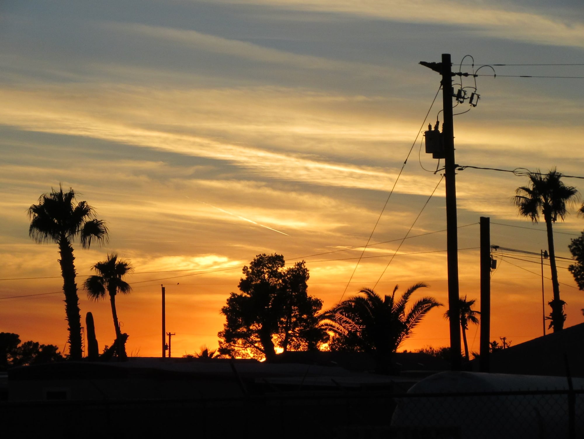 Sunset 10th November 2017 Mesa, Arizona
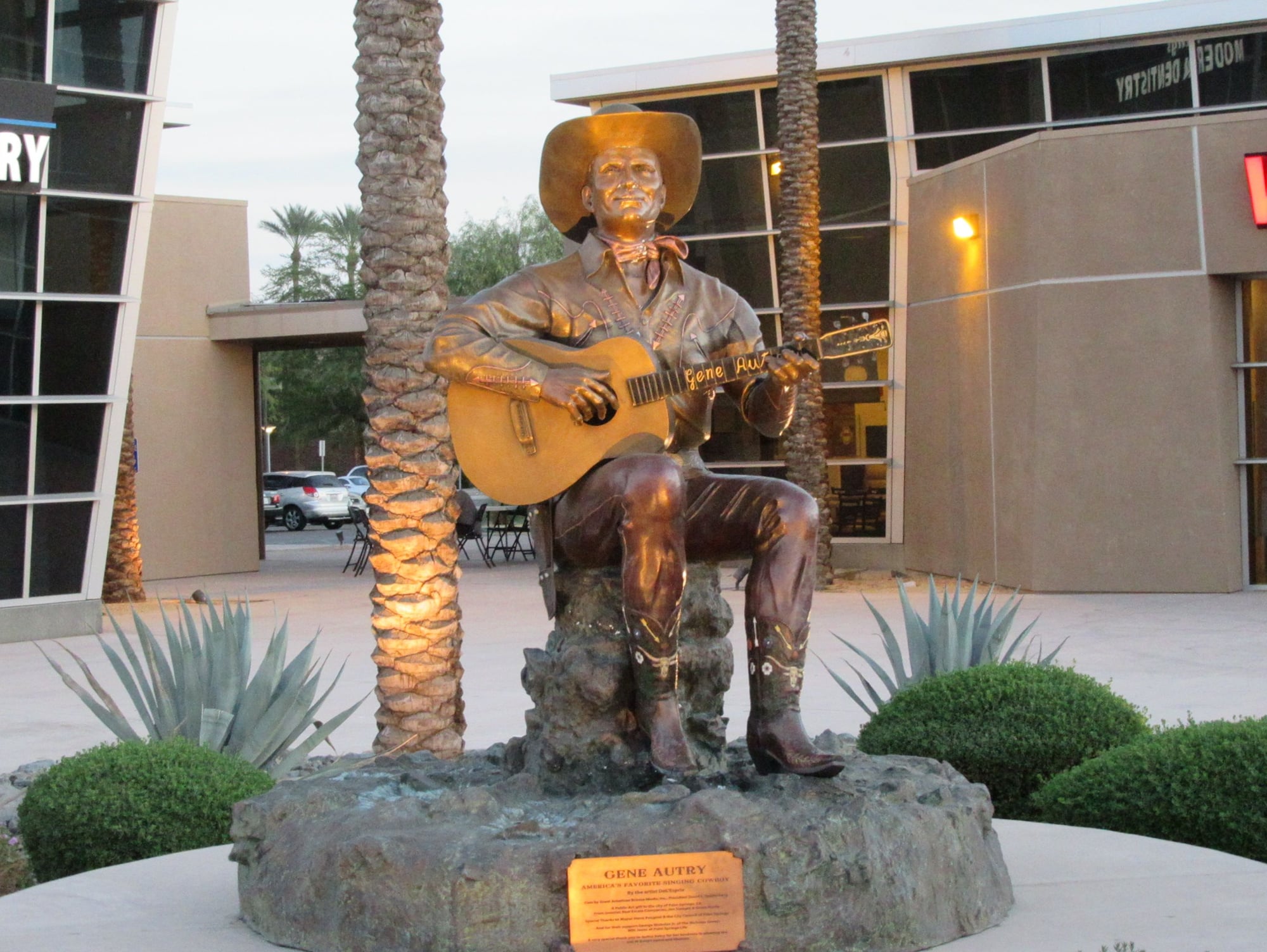 Statue of Gene Autry Palm Springs, California
 Morongo Casino Cabazon, California
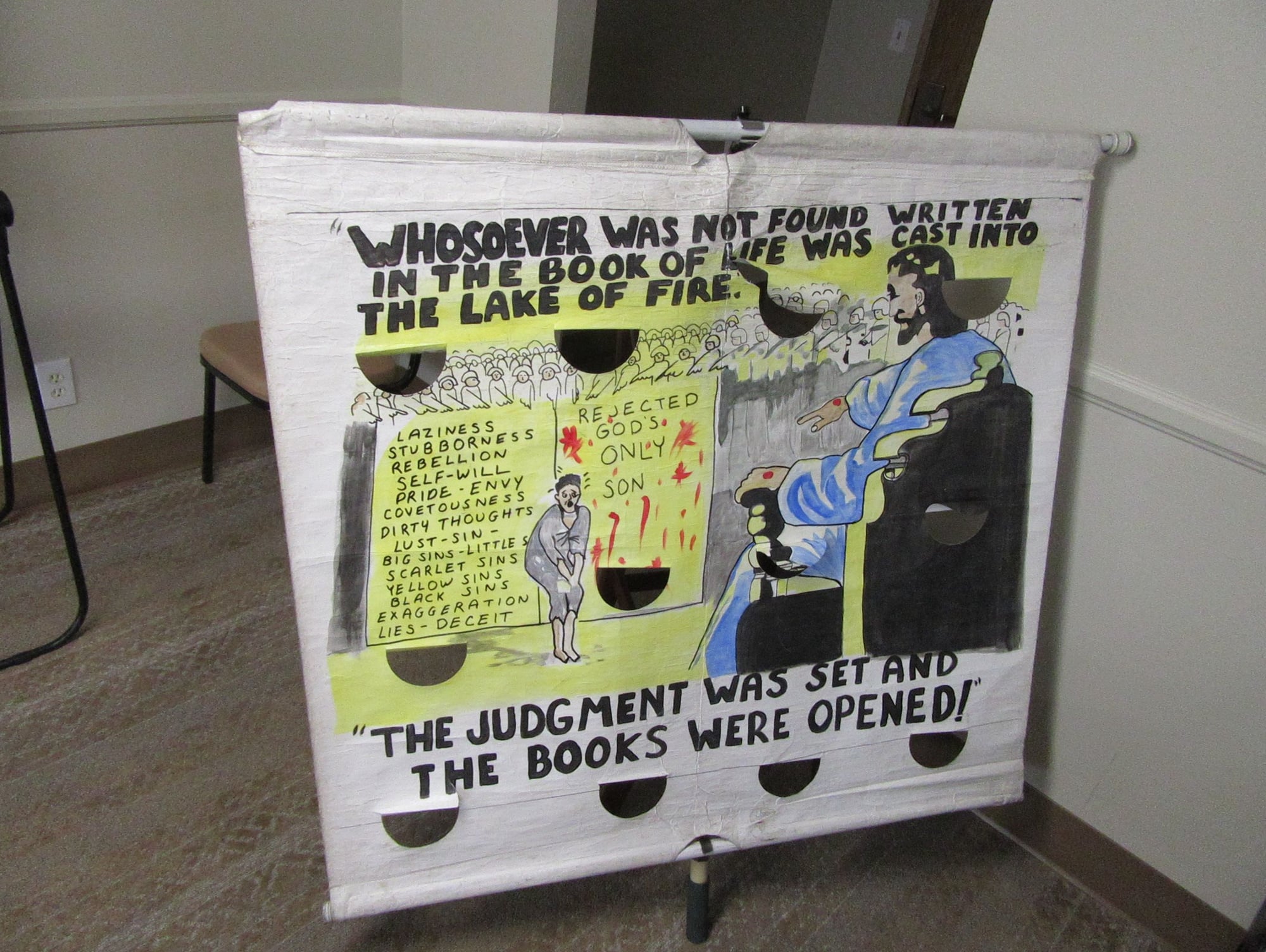 Banner at AV King James Baptist Church Lancaster, California
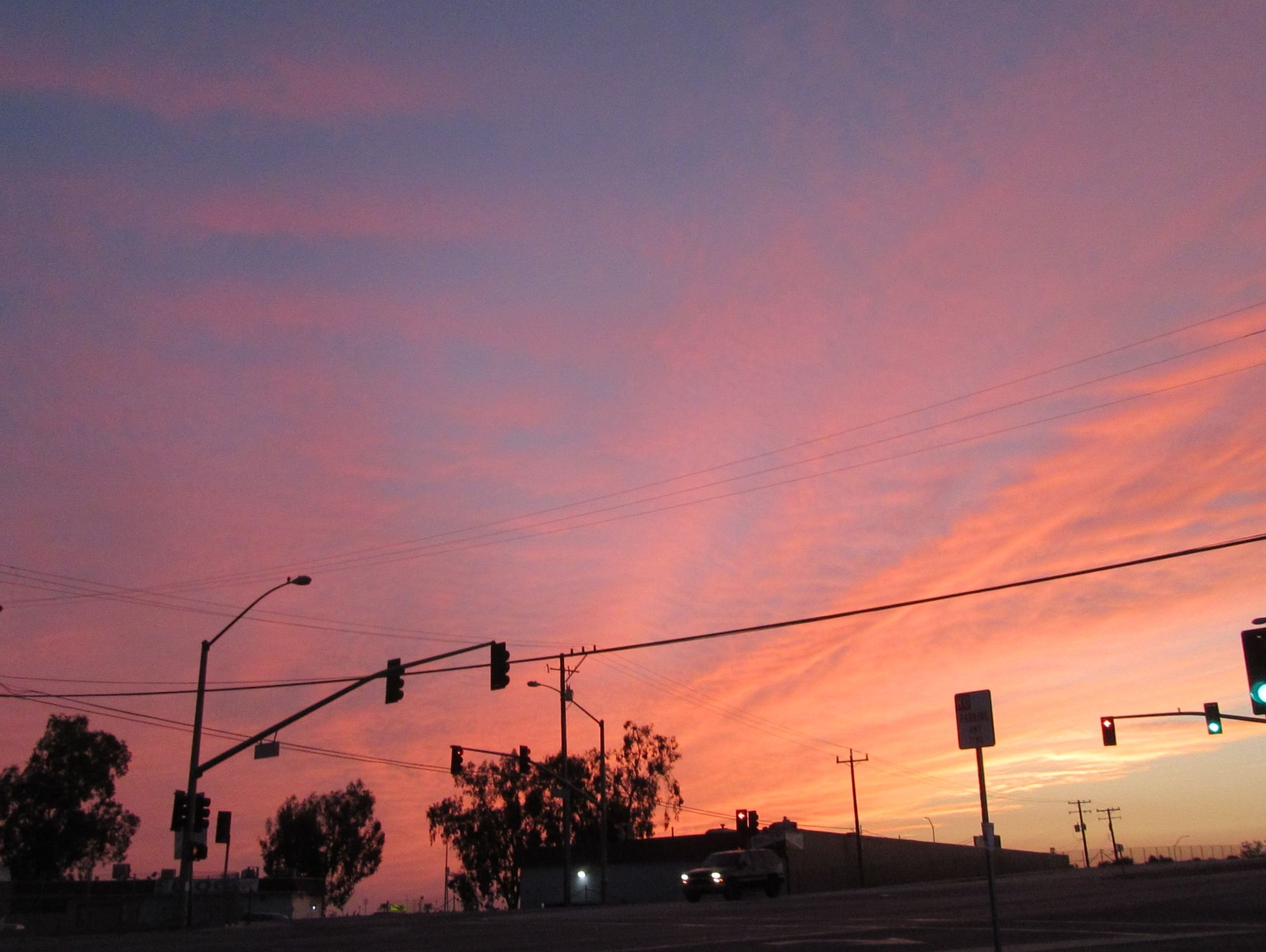 Sunset Bakersfield, California 12th November 2017