Our last full day in the Faroes, one of our goals was to hike up Slættaratindur, the tallest peak in the Faroes. Fairly far north on Eysturoy, it's known for having great views of the island.
It's also well known for fickle weather. Here, you can see that visibility at the peak was going to be questionable.
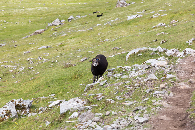
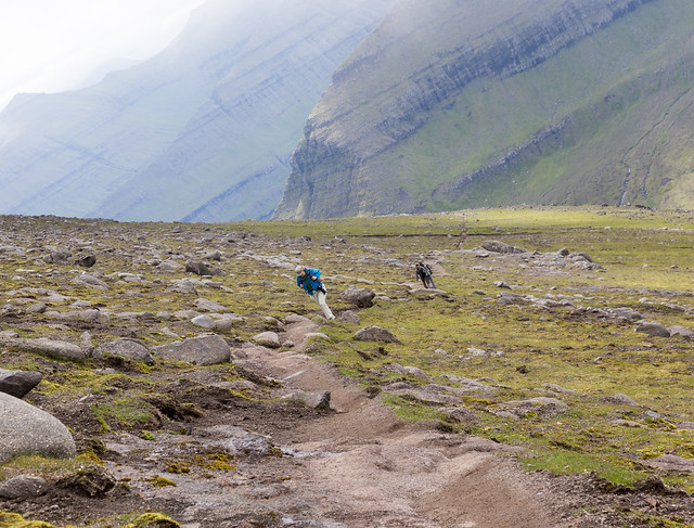
This also shows you how the typical Faroes trail isn't really marked. There's not any foliage blocking the way, so mostly you are left to get from Point A to Point B by whatever sheep trails look most convenient:
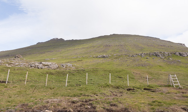
It doesn't really look like it from this view, but the trail mostly goes straight up a 45 degree slope:
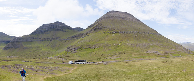
The Faroe Islands aren't large or particularly tall, but views like this make you feel like you are hiking along the roof of the world, with peaks as far as the eye can see (realistically, that's only about 15 miles worth of peaks with lots of hidden fjords and sounds!):
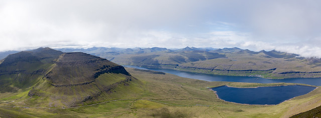
Some more indication of the sort of slope we were on most of our hiking:
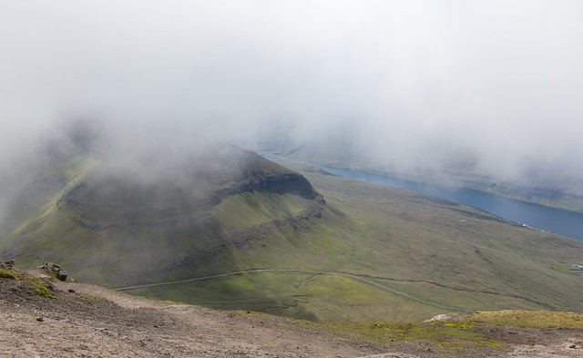
As luck had it, the view started to get a bit iffy as the clouds closed in. In fact, we were socked in with fog at the West summit.
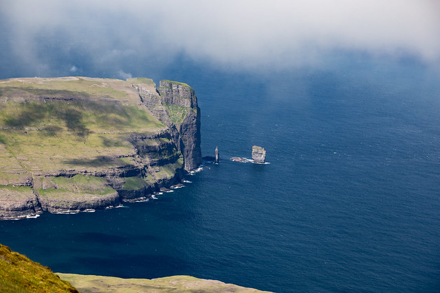
But occasionally the clouds parted, like this good view of Risin og Kellingin
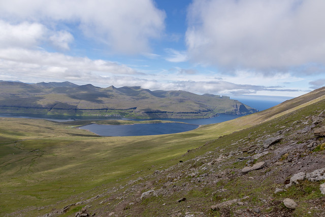
And again, giving up after 30 minutes waiting for the weather to clear, we got down, and then things started to clear up. I'll have to give the peak another try on a future visit:
And remember, somewhere, somehow, a sheep is
always watching you.