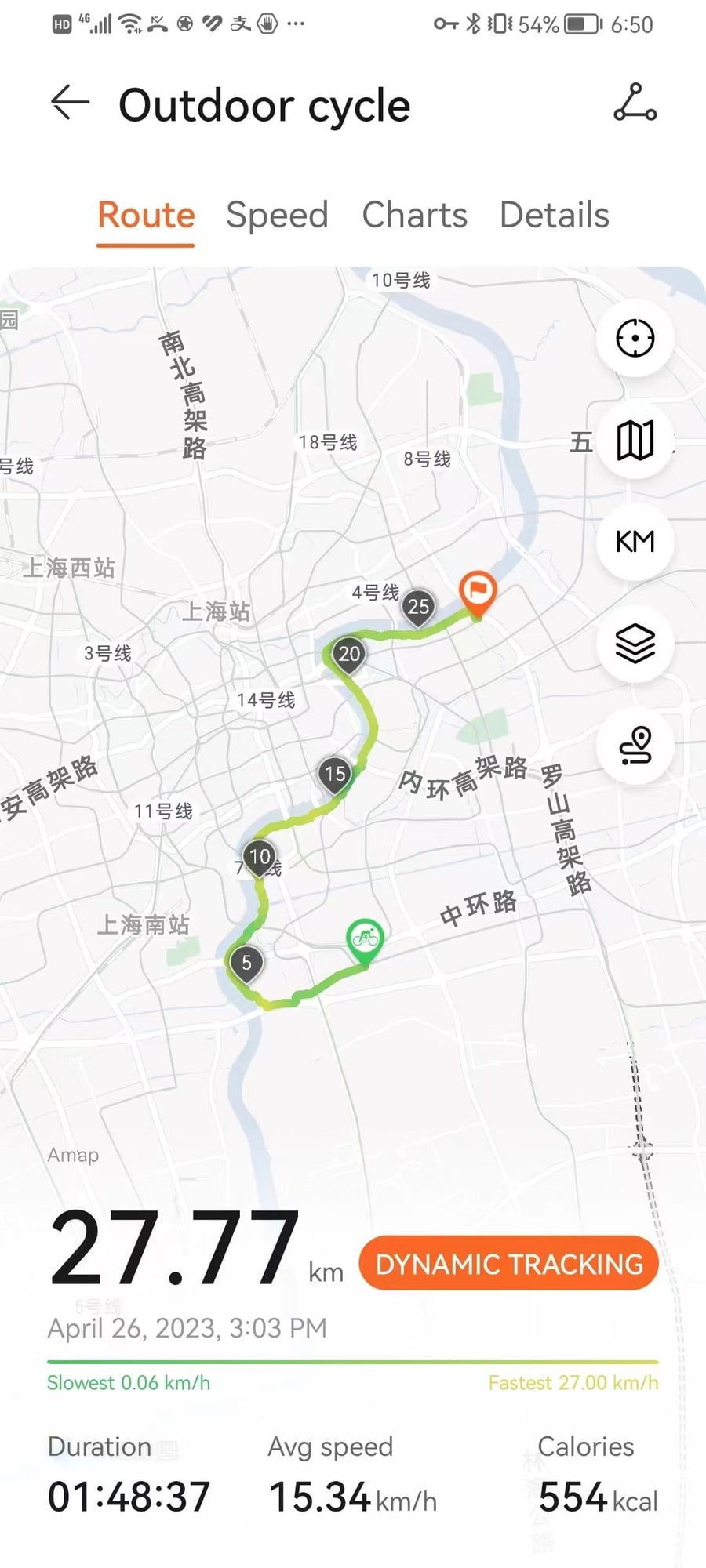
I've been experimenting with various start/finish point permutations on the east-side bike path, and think my ride today was the most efficient entire trail journey thus far, so I want to provide a brief report.
Before getting into that, here's a quick summary of subway logistics:
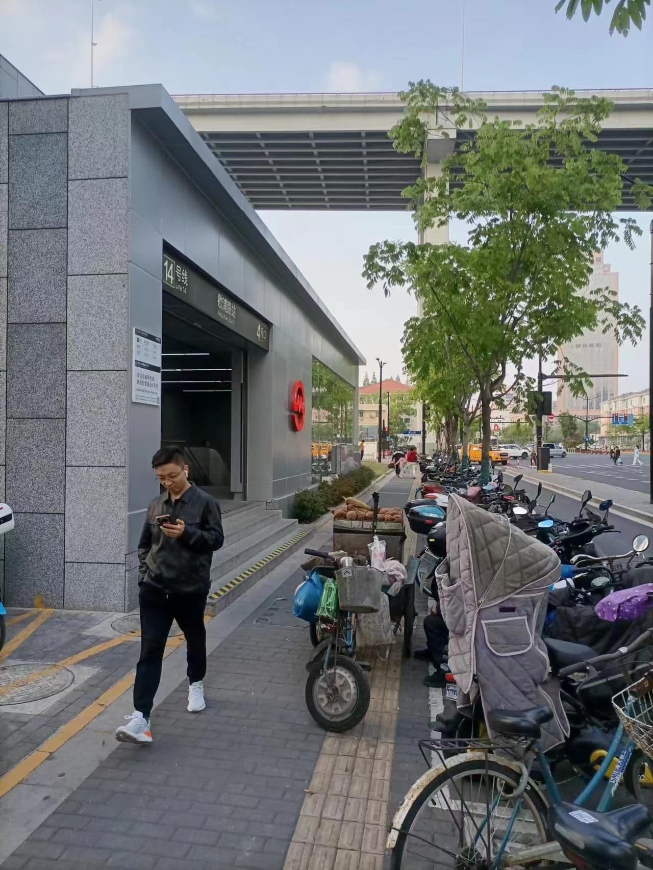
-Xiepu Rd is the best start/finish point because it is only ~250 meters from the north end of the trail
-if you don't care about the north section, you can use Lujiazui or Shangcheng Ave instead
-Houtan (basically SK Building) is the most convenient subway station south of the Lupu Bridge
-Oriental Sports Center isn't quite as convenient, but is a little further south
-Sanlin is the closest station to the southern terminus
Today, I went from Sanlin to Xiepu Rd.
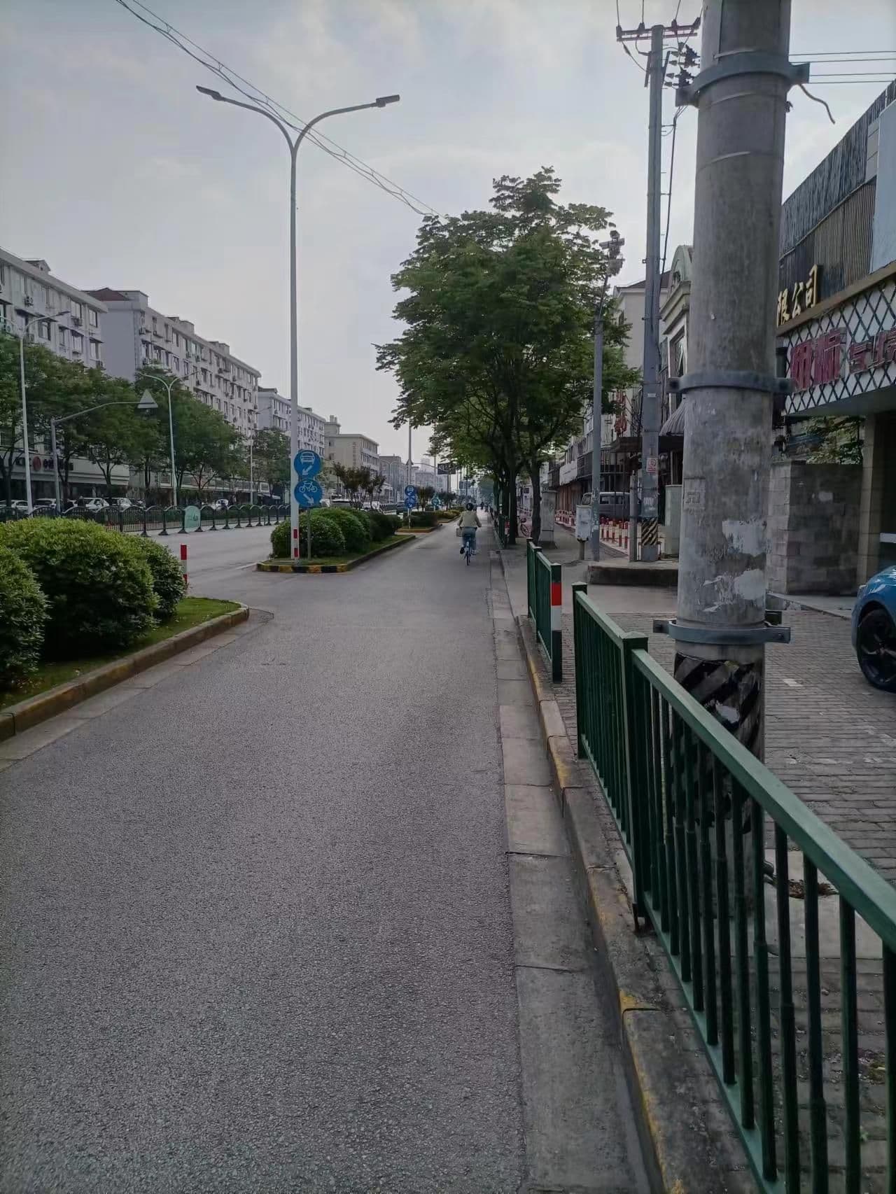
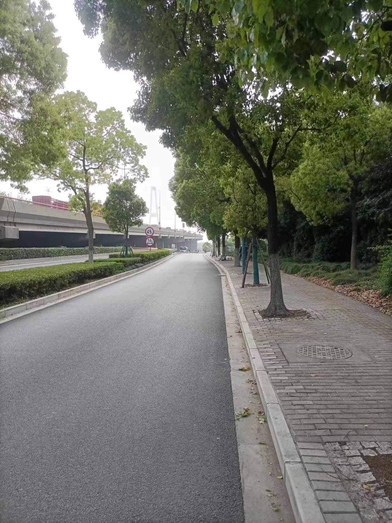
I emerged from Sanlin Stn at exit 4 and started heading east on Sanlin Rd, which has a nice bike lane, as you can see.
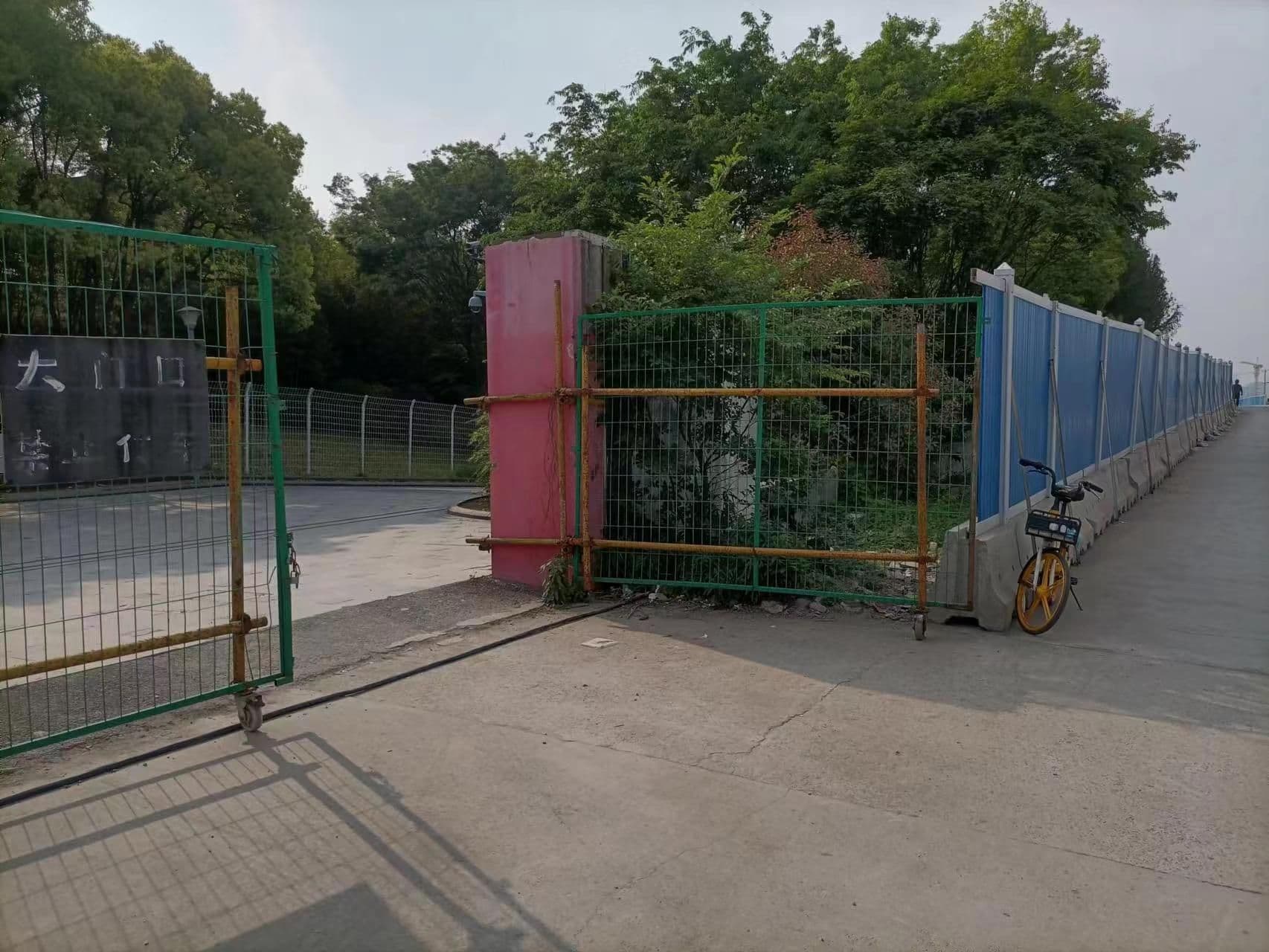
Sanlin Rd sort of dead ends about 1000 meters short of the river, so I switched the Xupu Bridge (you can see the bridge in this picture) side road for a few minutes.
It basically dumped me on the trail, but I did need to find an entrance because the trail is pretty well fenced off in the area.
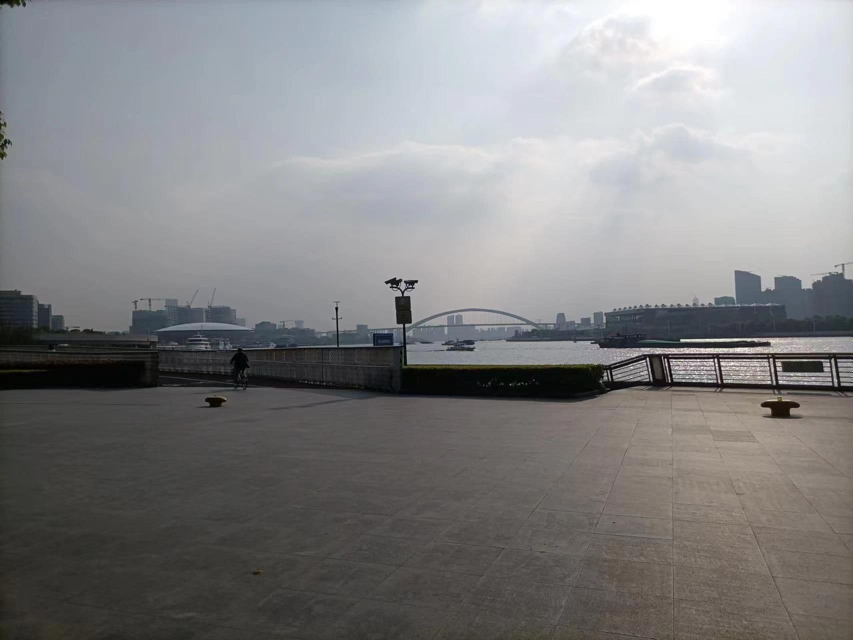
I made a pit stop between Lupu and Nanpu to change to a different bike (my Hello Bike subscription only permits 90 minutes per rental, and I knew I was going to go over).
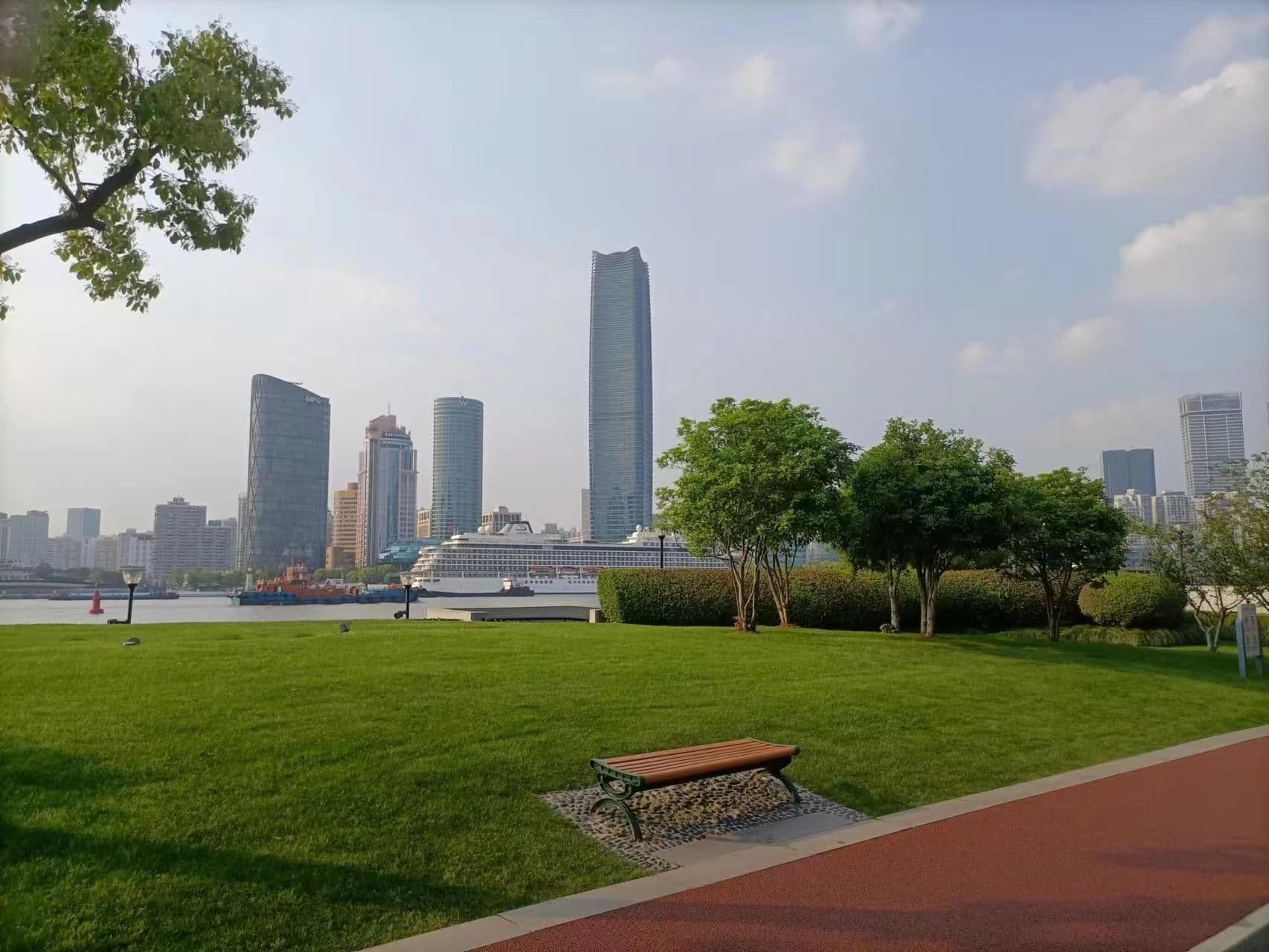
I made a second stop just north of Lujiazui because I wanted to get a closer look at the cruise ship in this picture (first one I've seen since 2019).
And, I finished at Xiepu Rd Stn exit 4.