Circling over the Glaciers of Central Switzerland.
One day, I found myself with several hours between rehearsals in Sion. Because the pieces were really difficult (Paul Creston and Frank Martin) I had planned to remain in the auditorium to practice them over and over again, but in the end I mastered them more quickly than expected and I found myself with time on my hands, as did Jean*, our clarinet and solf�ge teacher. He proposed going for a "round", so I suggested a choice of around half a dozen low altitude walking itineraries that I was planning to do sometime. But no, his idea of a "round" was to make a flight over the highest peaks and glaciers of central Switzerland, because he also happened to be a pilot of light aircraft! So off we went to the airport of Sion (SIR), a 10 minutes drive away. The terminal building was deserted apart from one or two staff and some customs officers in case any private jets arrived from outside Switzerland.
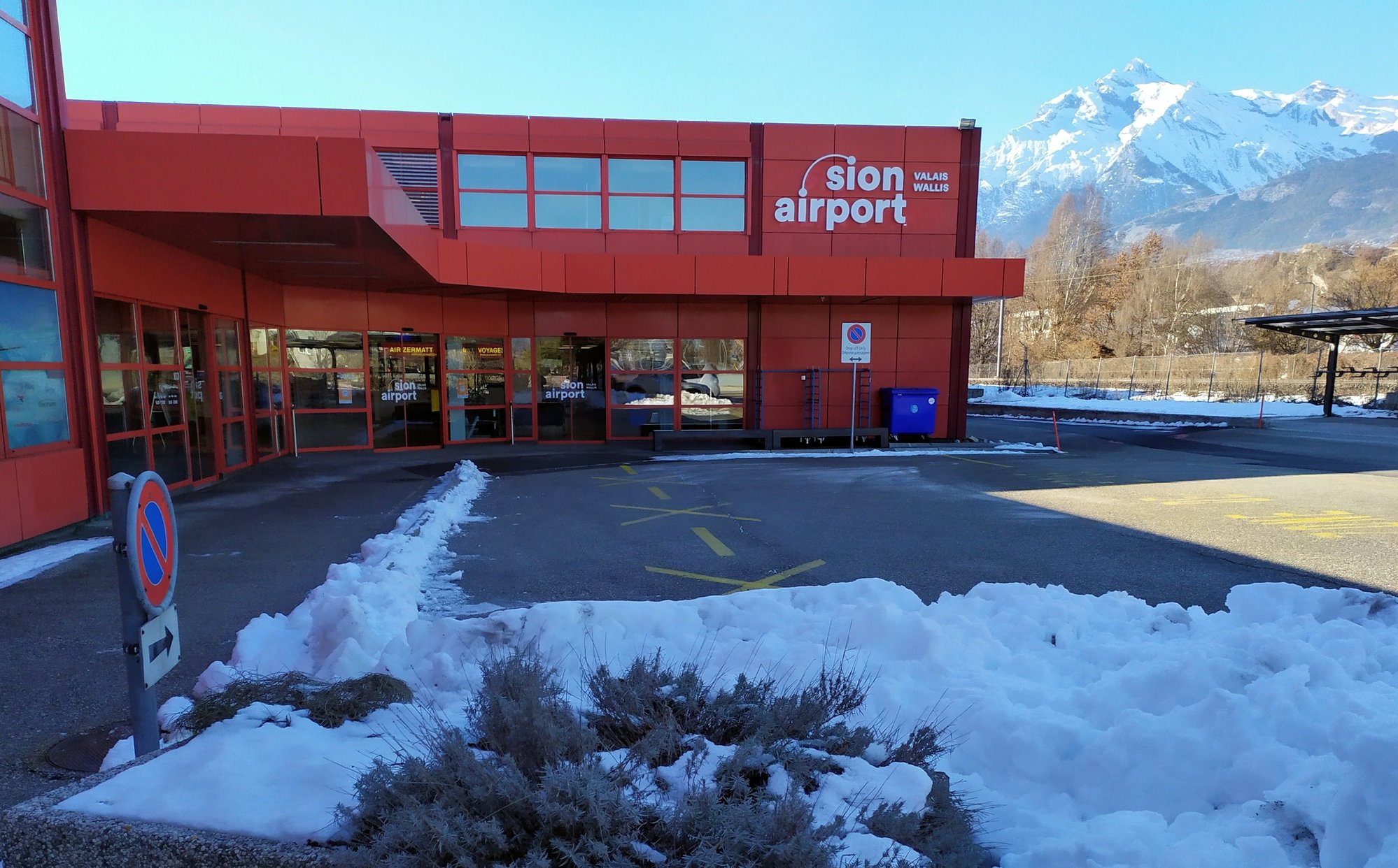 The exterior of the small airport at Sion. You can walk downtown in about 25 minutes
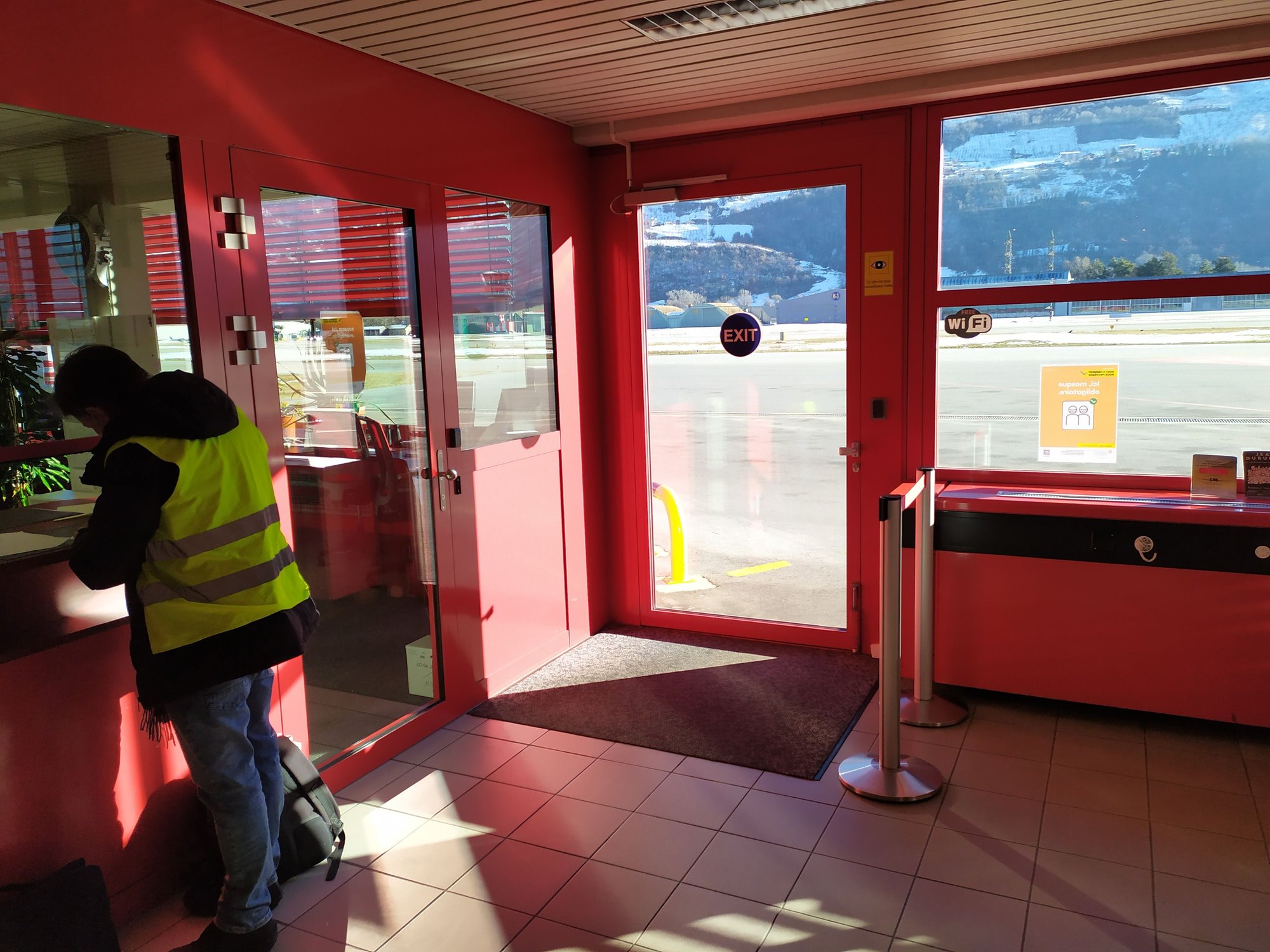
 The interior is very calm and quiet these days
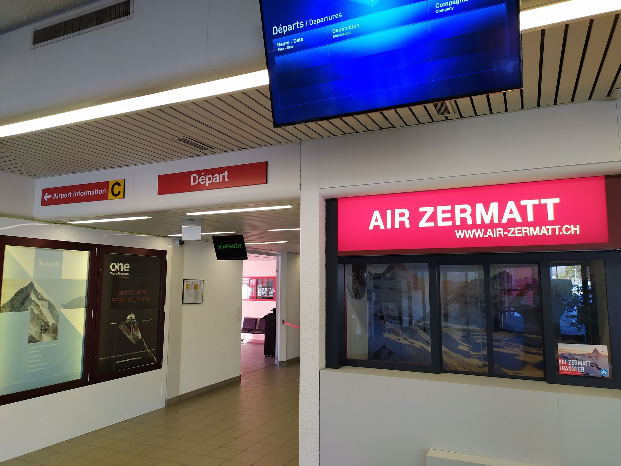
 Heading to the pilots room for the pre flight preparations
The first step was to visit the pilots briefing room, where we created a flight plan and printed out all necessary documents including the weather forecast, which happened to be sunny and clear. Next, we stopped at the office below to submit our flight plan, complete all necessary paperwork and make an insurance declaration for me as co-pilot and passenger.
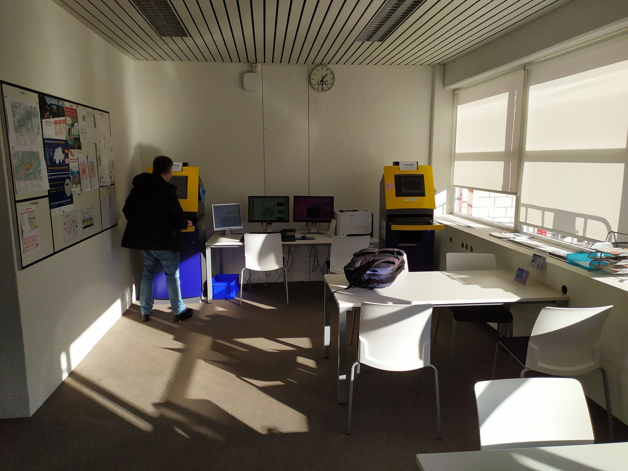 This is the pilots room, where the weather charts and flight plans can be printed at the machines in the background
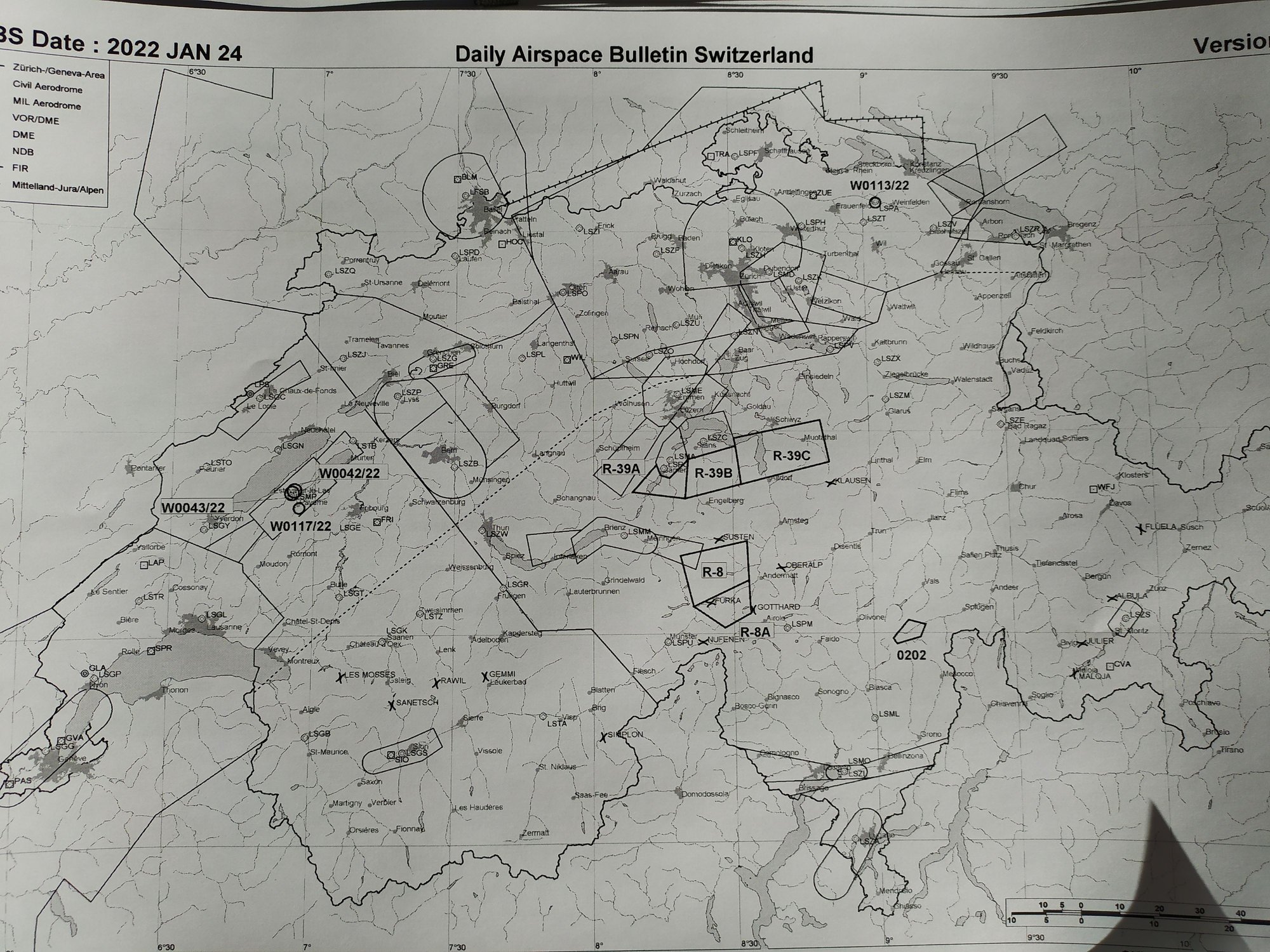 An example of one of the charts - there were too many to load up here
 Submitting the flight plan before walking out to the aircraft
Then we headed out onto the tarmac, walking along the footway around the apron past the heliport to an old wooden hangar which, according to Jean, had been standing there since the beginning of modern aviation, one of the oldest hangars in existence. Our aircraft, a French made Robin DR-400, was waiting for us at its parking place on the apron near the taxiway. Jean methodically checked every aspect of the exterior of the plane, using an official checklist to do so, then we climbed up onto the wing to enter the small plane by sliding the clear plastic roof of the cockpit forward. There wasn't much room inside, with tight seats for the pilot and co-pilot and two small seats behind. Jean continued going through the lengthy preflight checklist, eventually starting up the motor and propeller on the nose at the front and letting it warm up for 10 minutes. The whole process, including the preflight checks, took about an hour and finally we put on the headphones and linked up to air traffic control prior to proceeding onto the taxiway of Sion airport.
 The wooden hangar in Sion dates back to the beginning of aviation. It is apparently scheduled for demolition
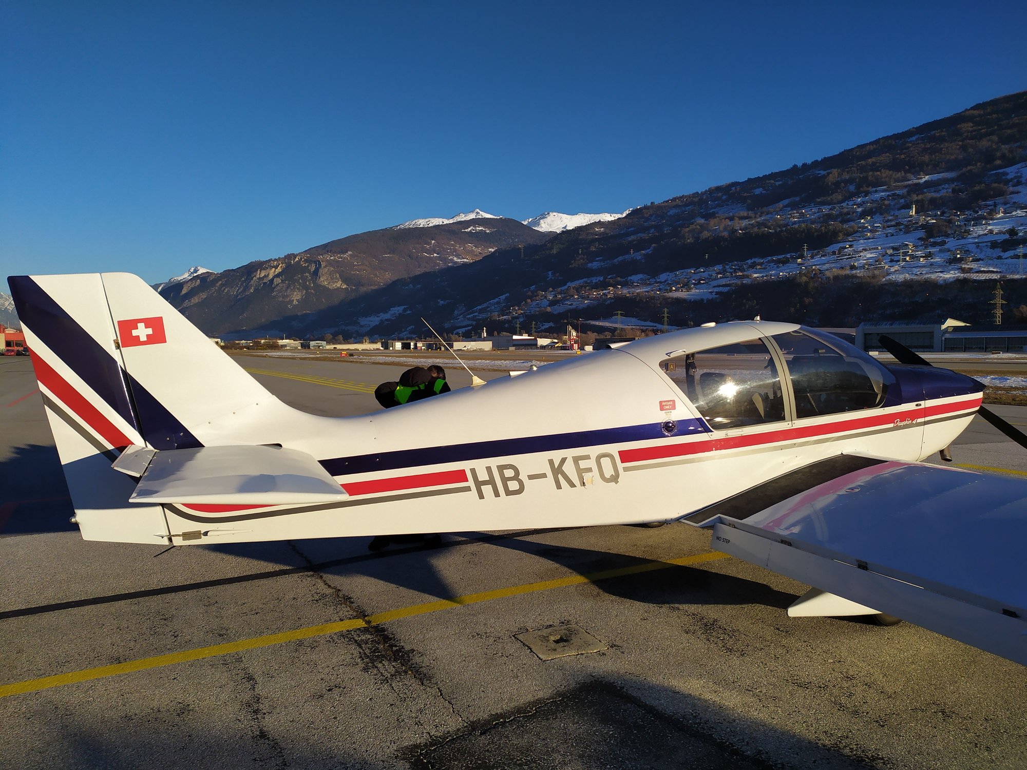
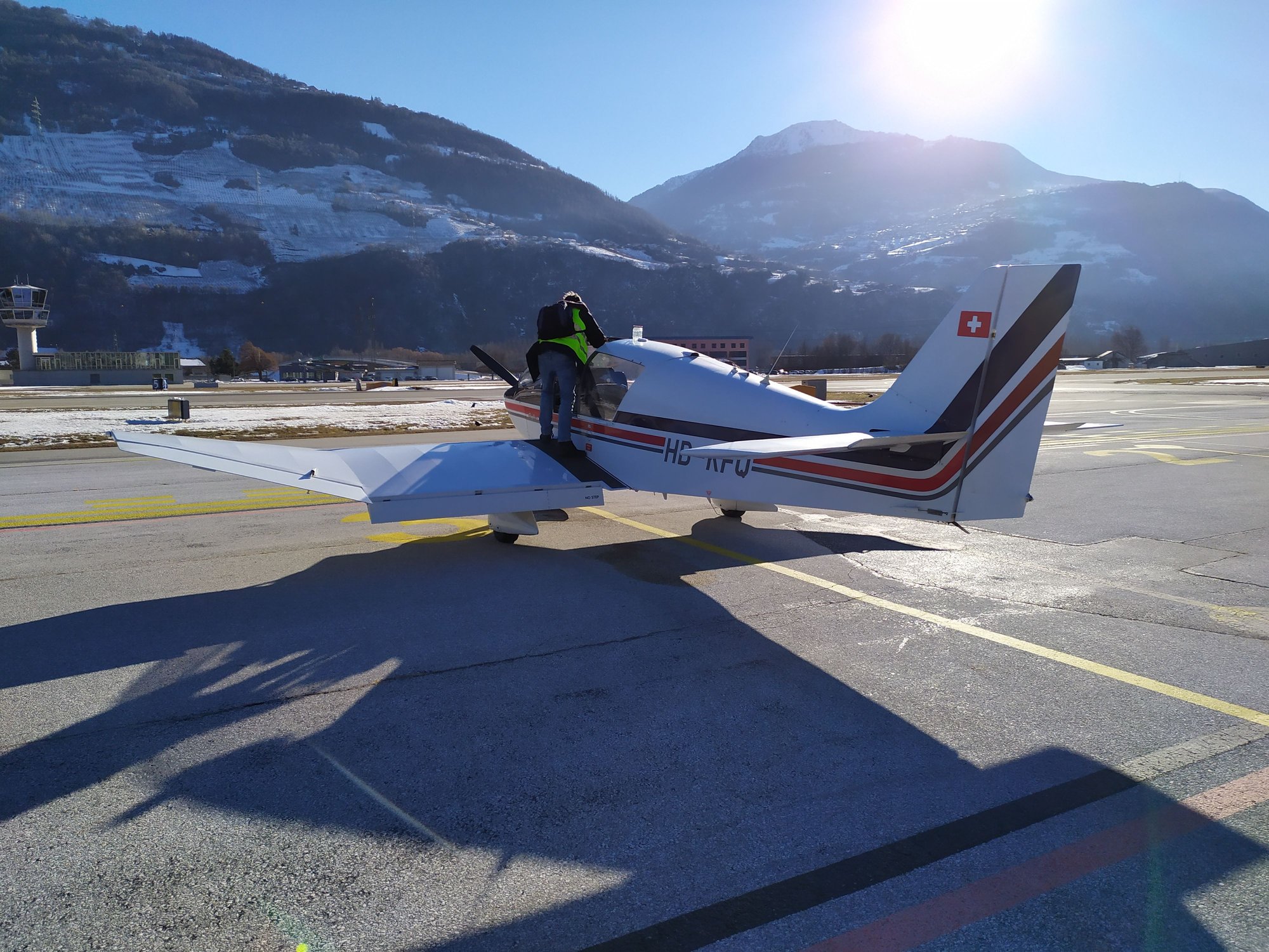 Our Robin DR400 plane is waiting for us
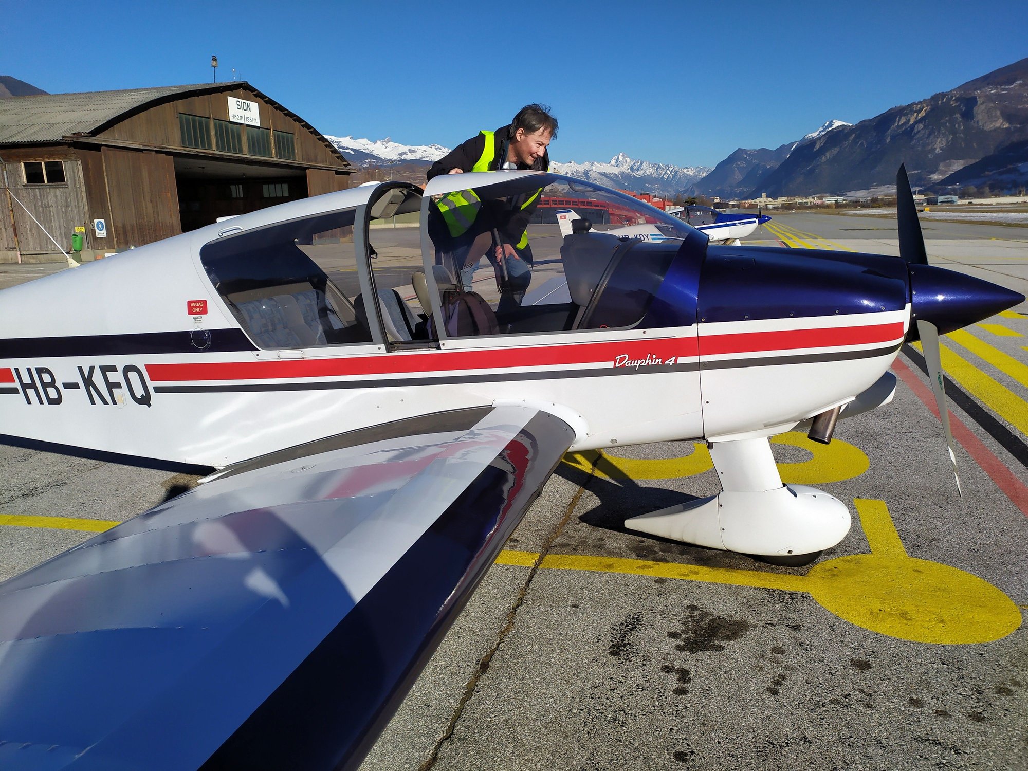 Jean compl�tes his inspection of the exterior of the aircraft
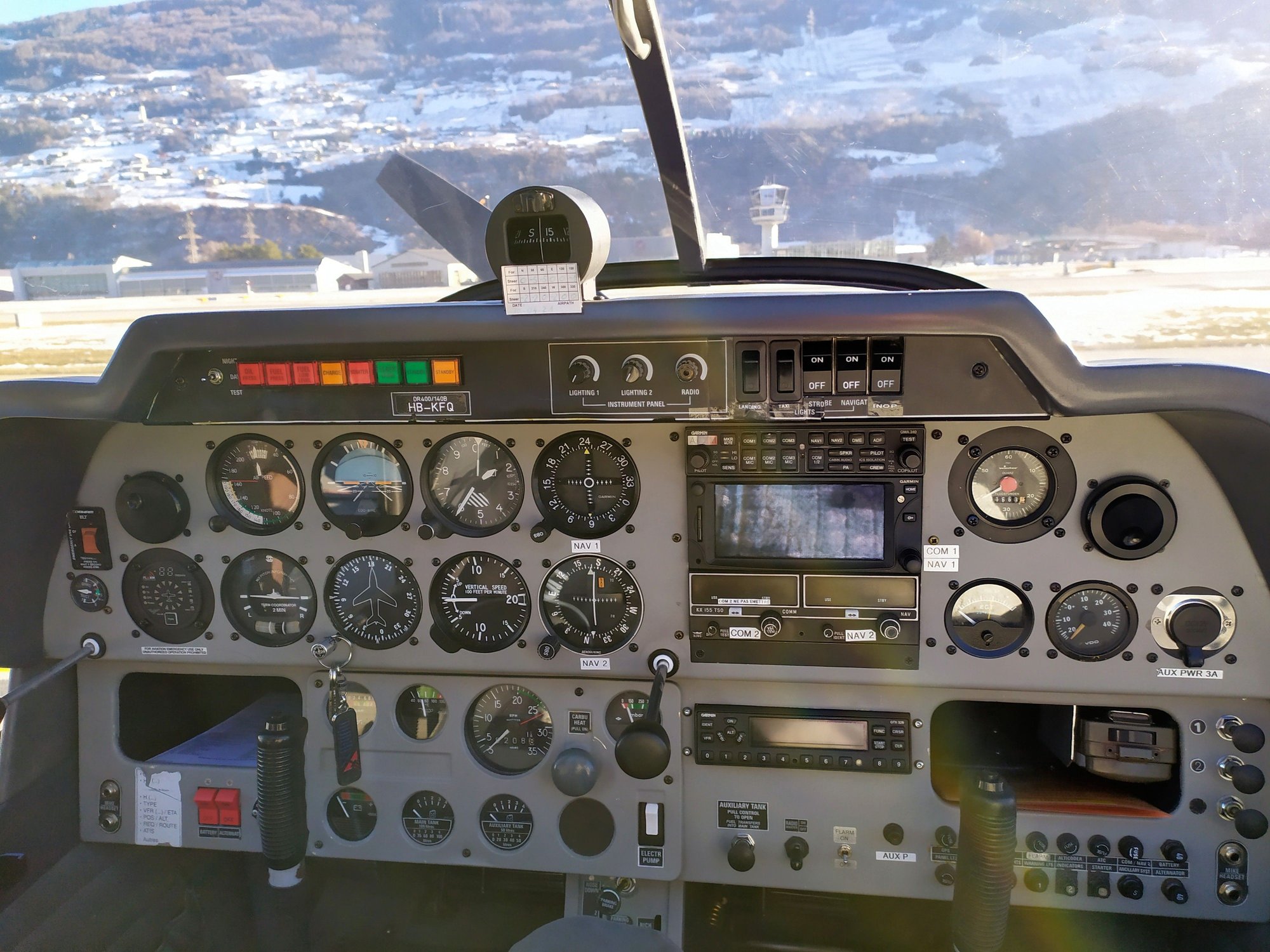 Instrument panel in the small cockpit
 Preflight checks in the cockpit
 Lining up for takeoff at Sion; the camera caught the propellor on one of its rotations
Personally, with the headphones I could barely understand what ATC was trying to say in English. As we approached the runway for takeoff, a voice crackled over the radio link and Jean looked quizzically at me. I looked back at him and said, "don't look at me, I didn't understand what they said either!" So we proceeded onto the runway and I said, "go on, just go for it, let's takeoff - nobody's screaming or shouting!" So we took off to the west in the direction of Martigny before banking sharply to the left over Salins and turning 180� to the east, to follow the Rh�ne upstream. We passed over Vex, then the lower part of the Val d'Anniviers, then the way station of Raron airstrip and finally Brig, climbing to 11,500 feet in the process.
 Taking off to the West from Sion, looking down at the industrial and commercial zone at Conthey
 Banking to the left over Conthey towards Salins
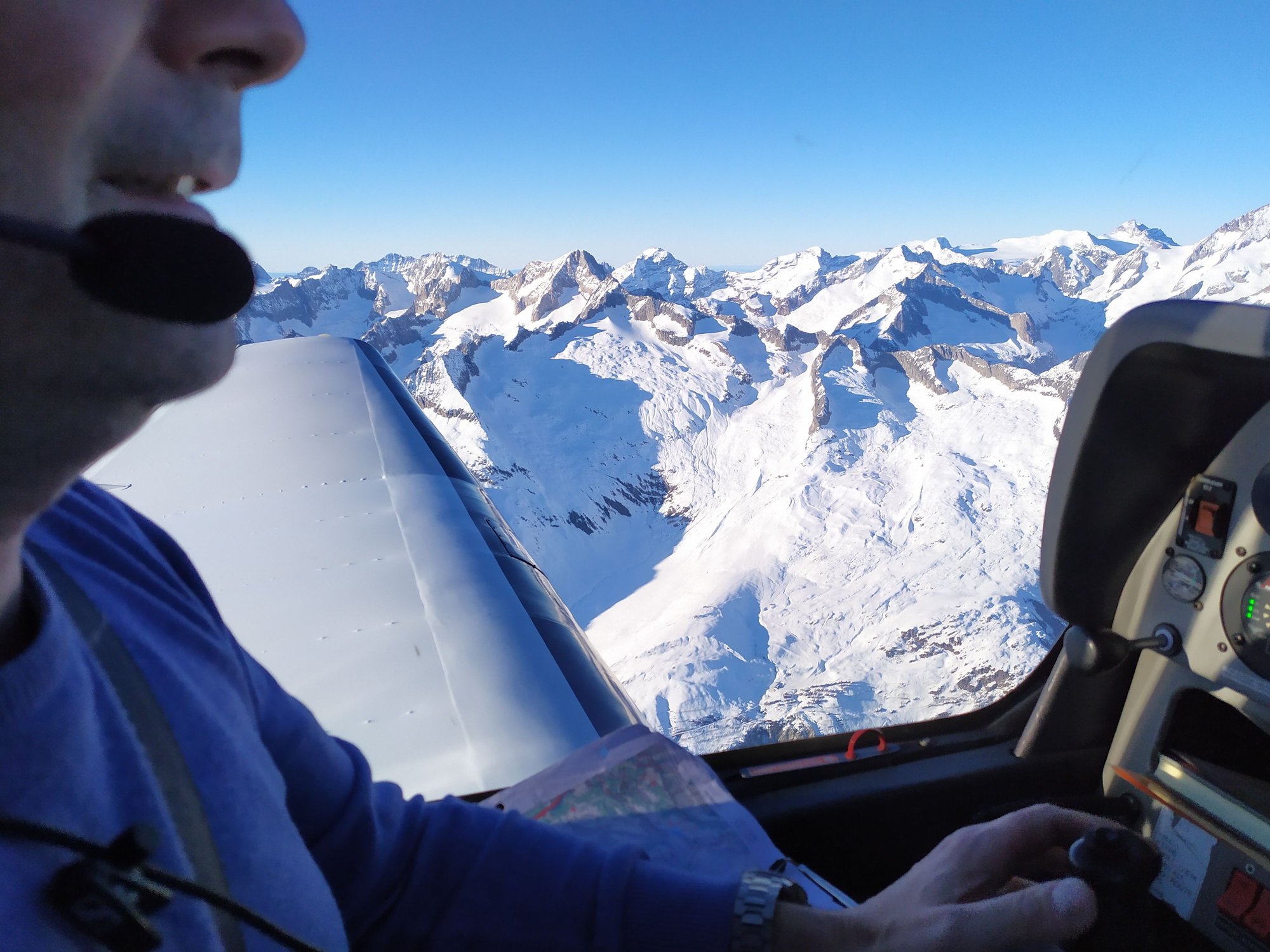 After following the Rh�ne river up to Brig we started heading into high Alpine territory
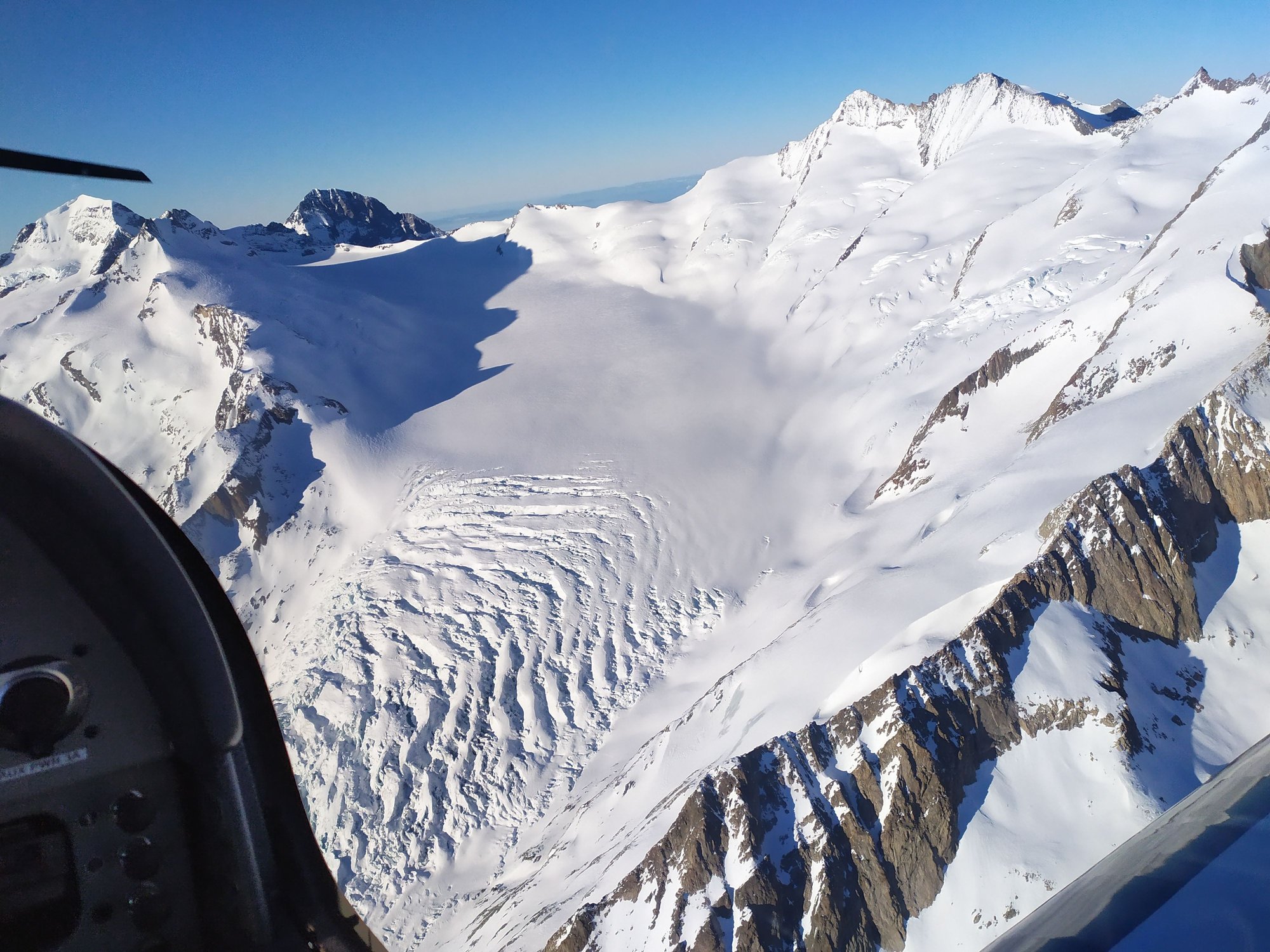
From Brig we crossed over the ridge separating the Rh�ne valley from the Aletsch glacier and followed the glacier its full 21km length up to Konkordiaplatz, the enormous high altitude sea of ice out of which flow many of the biggest glaciers of central Switzerland. The cracked ice and crevasses of many of the side glaciers which spill down onto the Aletsch were clearly visible. The observatory up on the Jungfrau mountain was also visible as we turned left over a ridge onto the L�tschen glacier and flew down the length of the L�tschental, passing the Bietschhorn on the left. Exiting the L�tschen valley involved a left turn towards the bottom of the valley, following the Lonza river, and then descending in a series of anticlockwise circles over Gampel and the American satellite dishes at Leuk Breitjong.
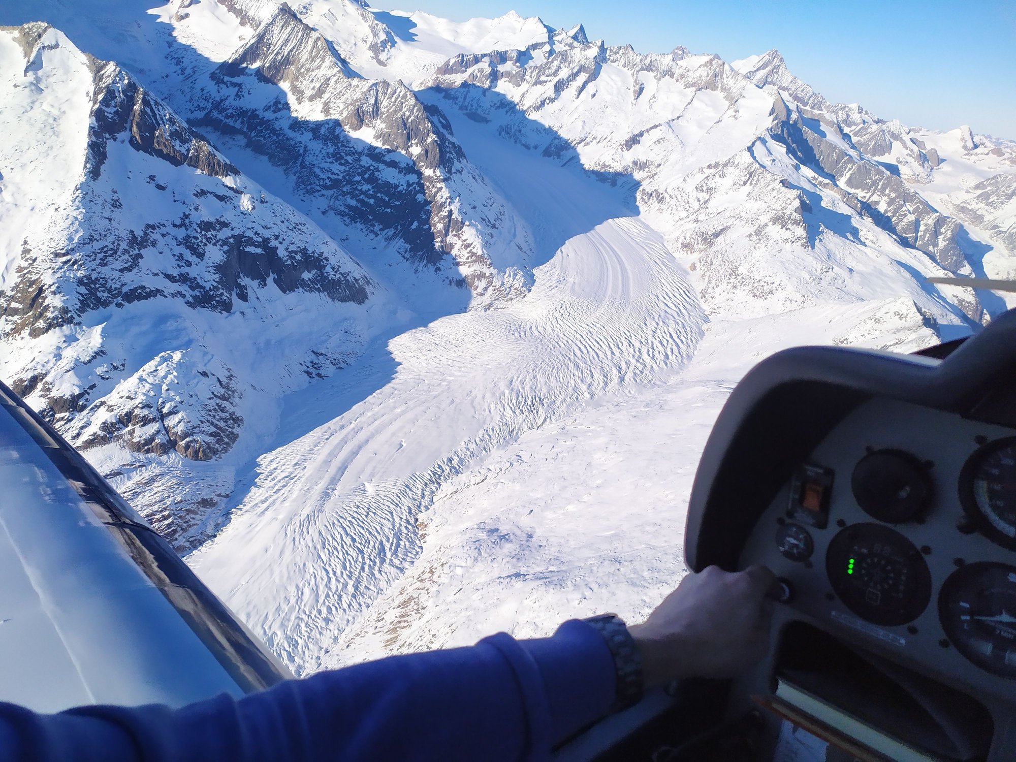 The Aletsch Glacier, 21 kilometres in length
 Following the Aletsch Glacier up to Konkordiaplatz, the point from which many of the big glaciers flow - here, we are looking at the sides of the valley down which flows the Aletsch Glacier
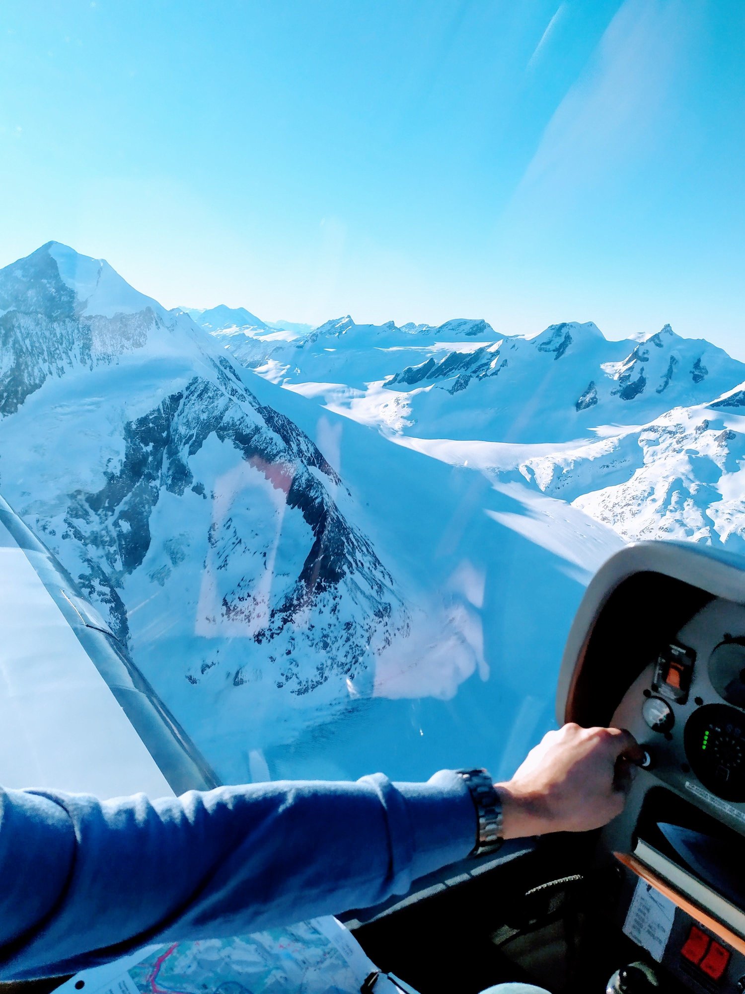 Somewhere in the near the top of the Aletsch Glacier, where we began to bank left over to Konkordiaplatz before heading west down towards L�tschental
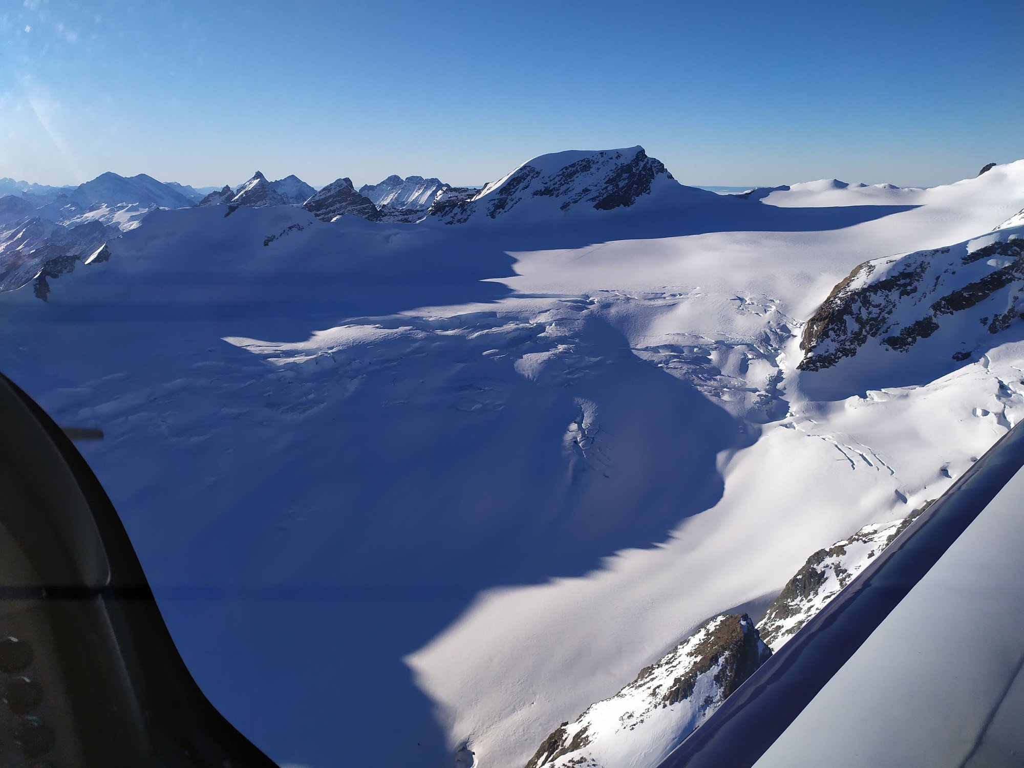
 The general sea of ice which forms part of Konkordiaplatz
 The landscape up there is otherworldly and it makes you realise how much of Switzerland consists of inhospitable terrain
 If you are able to zoom right in, it should be possible to spot the observatory on the Jungfraujoch, in the dip slightly left of center
 The endless snow and ice continues as we begin to head West to cross the ridge before heading down to L�tschental
 The constant icescape is mesmerising
Final sea of ice before crossing over to L�tschental
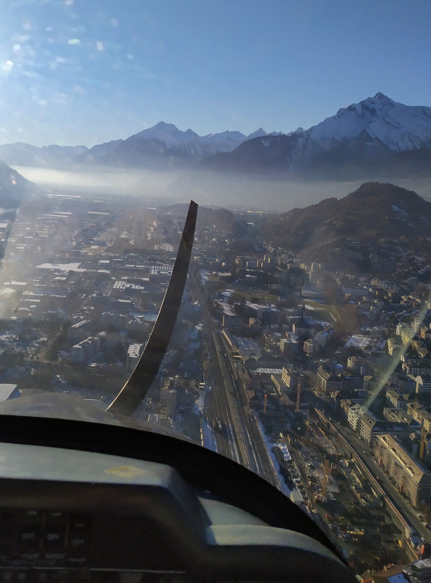
We then tracked back down the Rh�ne valley in an easterly direction towards Sion, passing the navigational way stations of Sierre (E1) and St. L�onard (E2) before landing smoothly on the runway at Sion. The post flight paperwork was quickly completed in the pilots room and we left the airport, a bit late for Jean's next class. But we managed to end up both leaving things in the aircraft, Jean his mobile phone and me my keys, which slipped out of my pocket in the low slung seat. In the end, I went and took Jean's class for him while he zoomed back to the airport to recuperate our lost items.
Rating 10*
Aircraft DR40
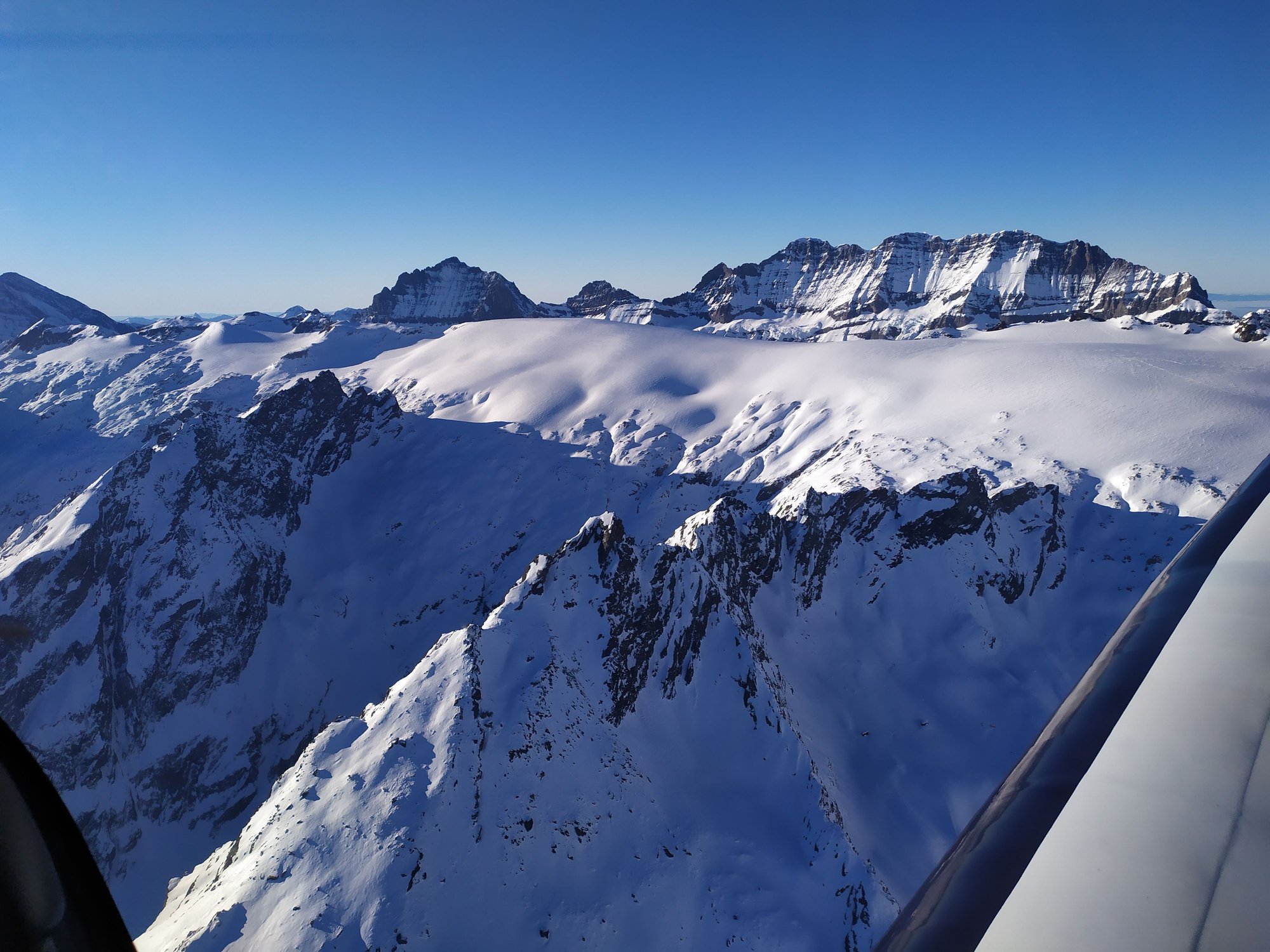
 Right at the top of the L�tschen Glacier as we begin our descent down the L�tschental valley
 The upper end of the L�tschental valley is seriously icy and wild
 More icy landscapes as we lose altitude
 Looking back up the L�tschental with the Bietschhorn on the right
 Final approach to Sion, having just passed a hang glider who was perilously close to us; we saw him at the last possible moment
 Parking the Robin on the apron
ETA - The 3-letter IATA airport codes are probably academic in these reports, because pilots use only the 4-letter ICAO codes in their flight plans and charts, along with communicating with ATC. 3-letter codes are used by the airline systems for scheduling and baggage operations. Sion (SIR) is occasionally a destination for scheduled flights (from London during the ski season) and sometimes there are charter flights to Majorca and Sardinia, but during most of the year it is used by private air traffic.
I have used the 2-letter code PP with my own flight numbers, along with numbers representing how many flights I have taken (clearly this is my first private plane flight). I chose PP because it conveniently stands for Private Plane, but since the aircraft could turn out to be a jet or propellor machine in the future, it was probably better to avoid calling it a Private Jet!. In fact, the IATA code PP appears to be used by a private jet company based in Geneva.
* Fictitious name/nom d'emprunt