Originally Posted by
philemer
Heading NW so I don't see much damage. Extra rain & wind.
Hmm. Not sure about that.
Here's the 8 pm HST/0600Z latest cone:

But the problem is Doug is a bit bigger than its eye's position.
Here's the latest GeoColor - Doug encompasses a much larger area than where the eye goes. A whole bunch more:
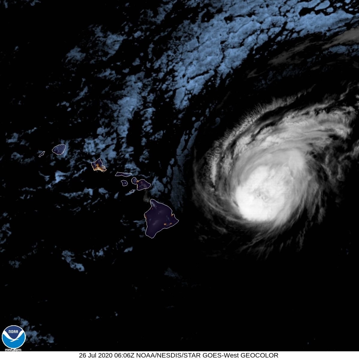
(Side note: Will be interesting to see how much of the lights of Honolulu, Kaluhui, Hilo, Pahoa and Volcano are visible tomorrow at this hour.)
One other image to look at is the right now is Shortwave IR:
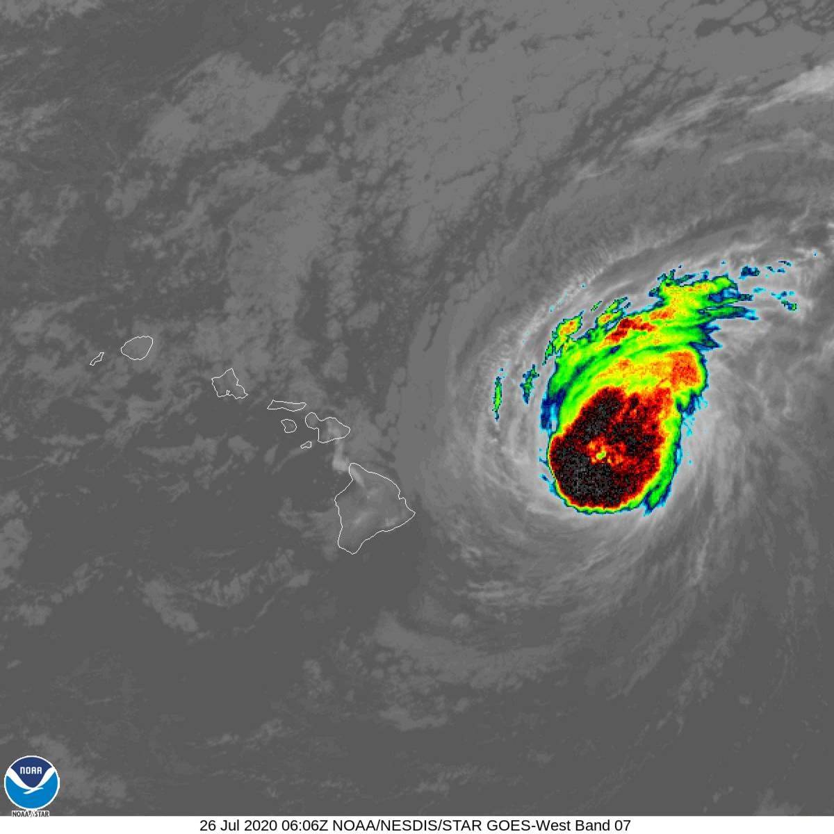
Doug is packing plenty of energy and its wind field is hardly small.
Also, here's the water vapor that Doug is carrying around:
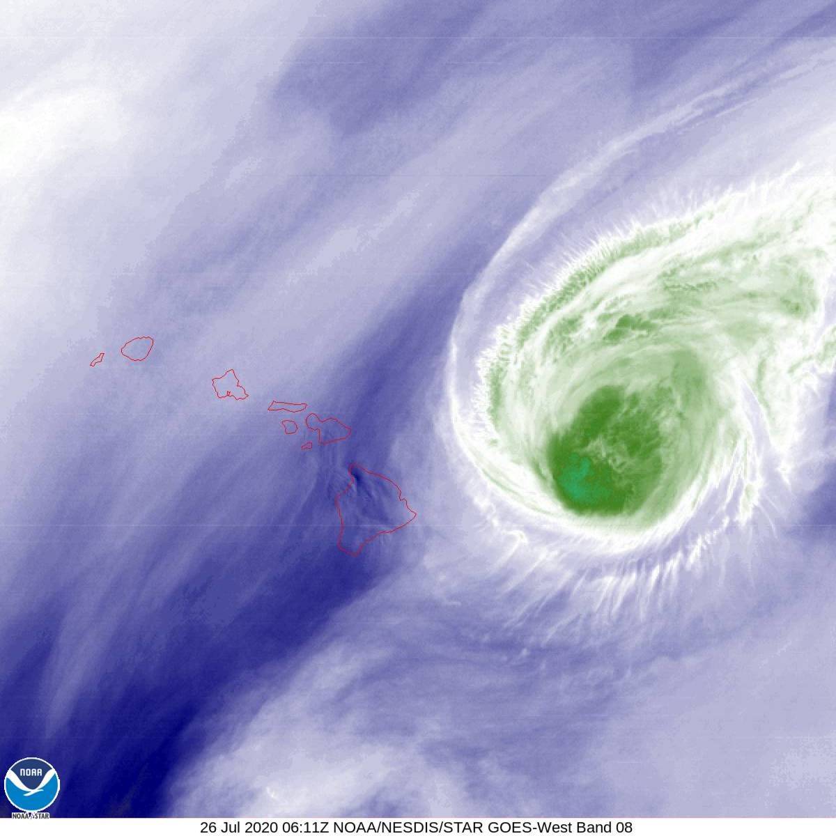
Again, we'll see how much flooding and wind damage occurs across all of the islands by Monday. That's 36 hours of a whole lot of rain and wind and, for coastal residents, storm surge.
Edit: As comparison, here's Hanna right now in the Shortwave IR:
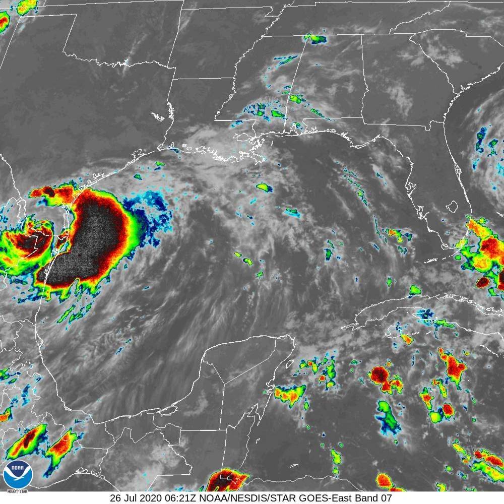
Hanna's still packing a whole bunch of energy as well - Once over land, Hanna will rapidly deteriorate without more energy being added from the warm waters of the Gulf of Mexico.
Doug's still mostly over water, albeit cooler water than where it was but still warm.
David