6 October
Day 1: Dushanbe-Kulaikhumb
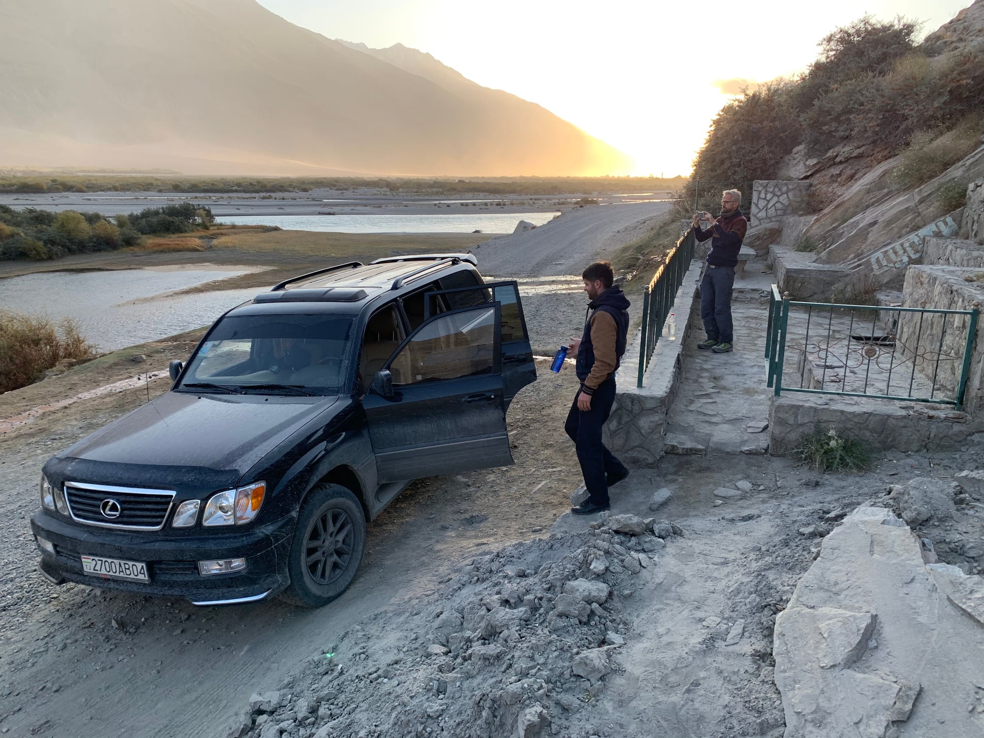
There are generally two types of travelers on the Pamir Highway. The first are the travelers who either rent a 4WD or a vehicle and driver to traverse 1,400+ kilometers in
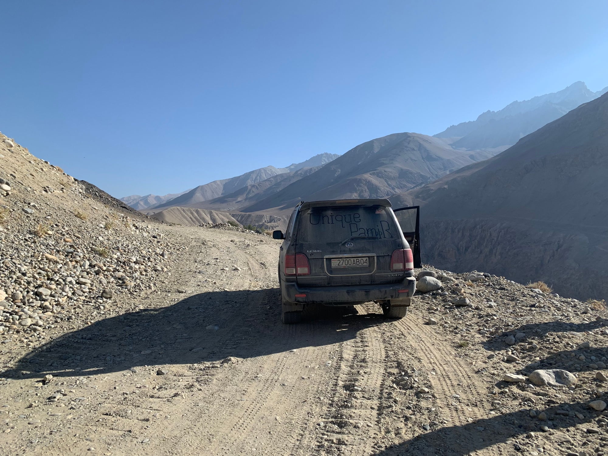
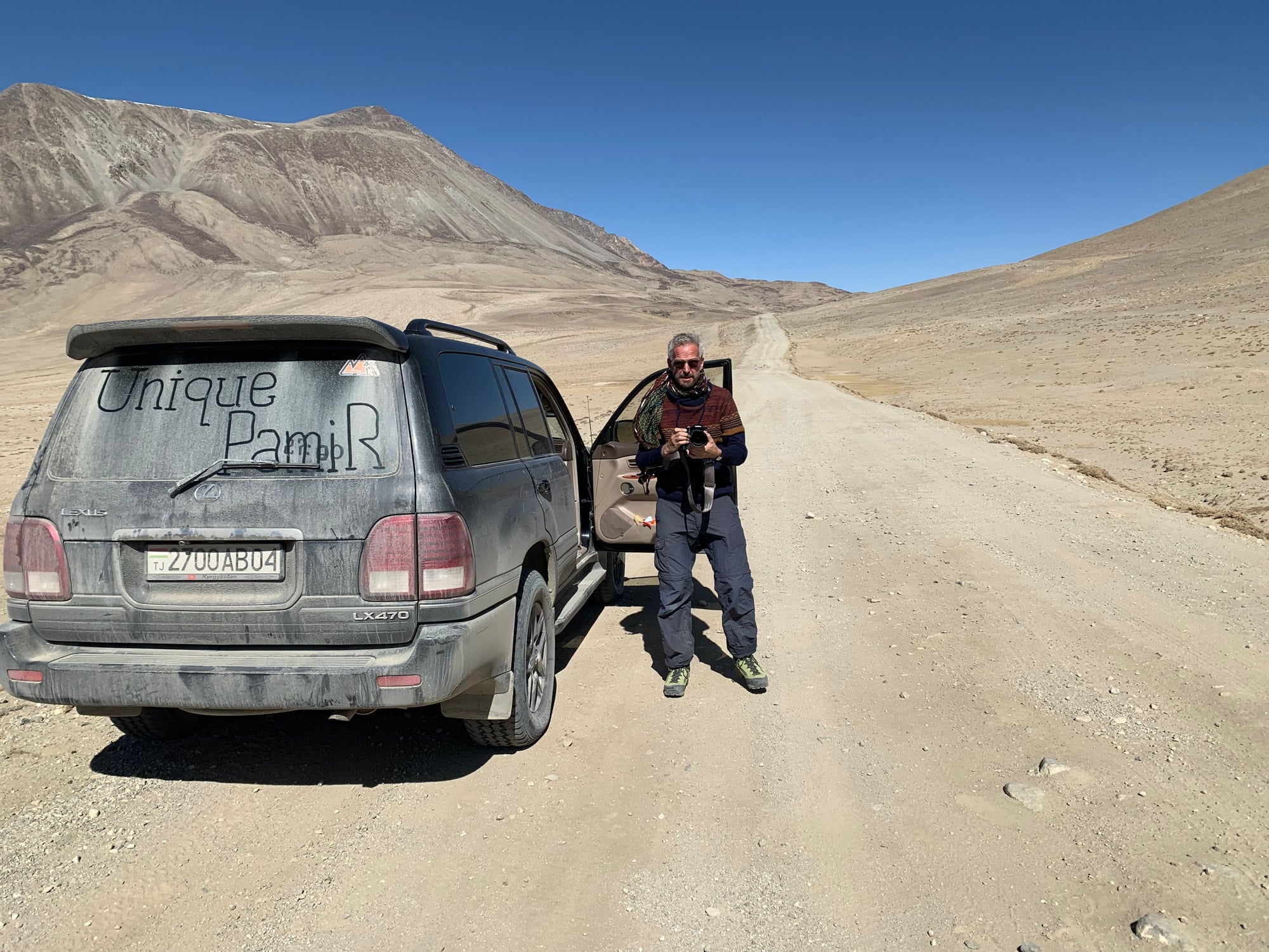
relative comfort. Our group lucked out with a Lexus RX470 and a fantastic driver who was from the Pamirs himself.
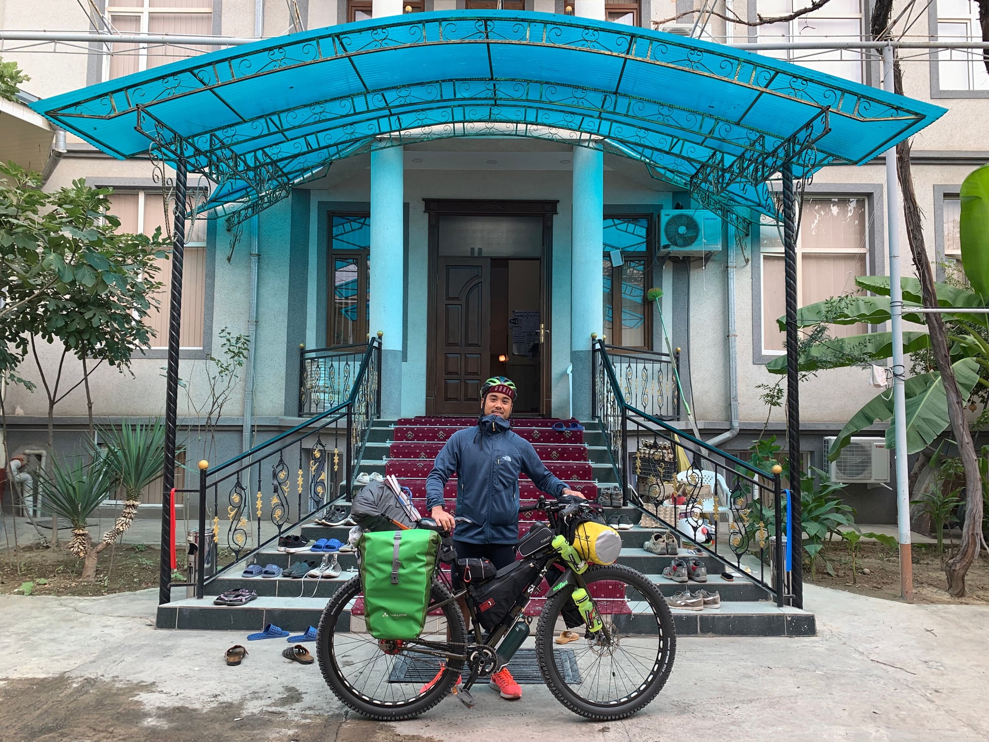
Then, there are the cyclists who brave the elements and altitude to cross the Pamirs over a minimum period of three weeks. If you're reading this, Michael, god-speed to you.
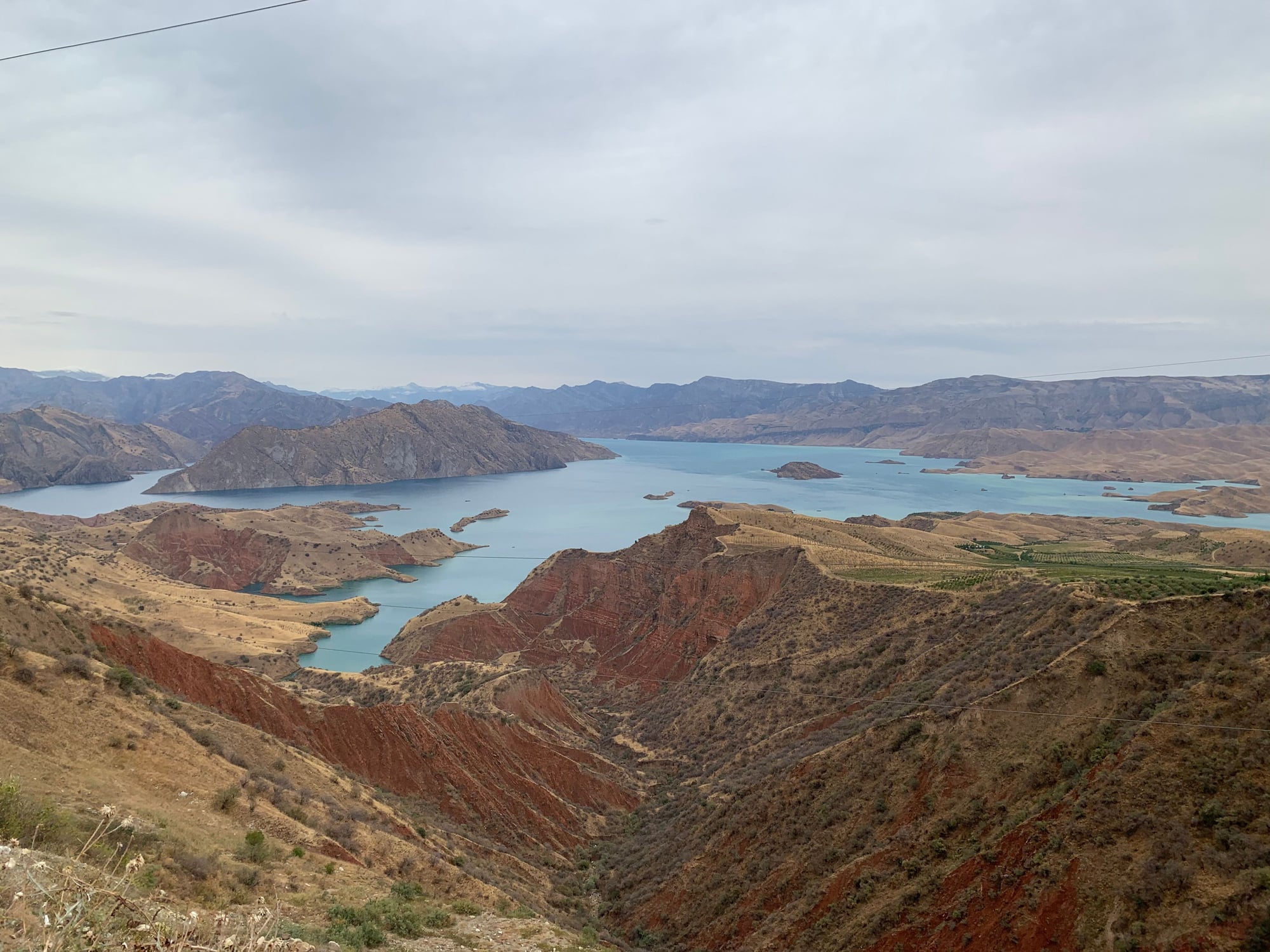
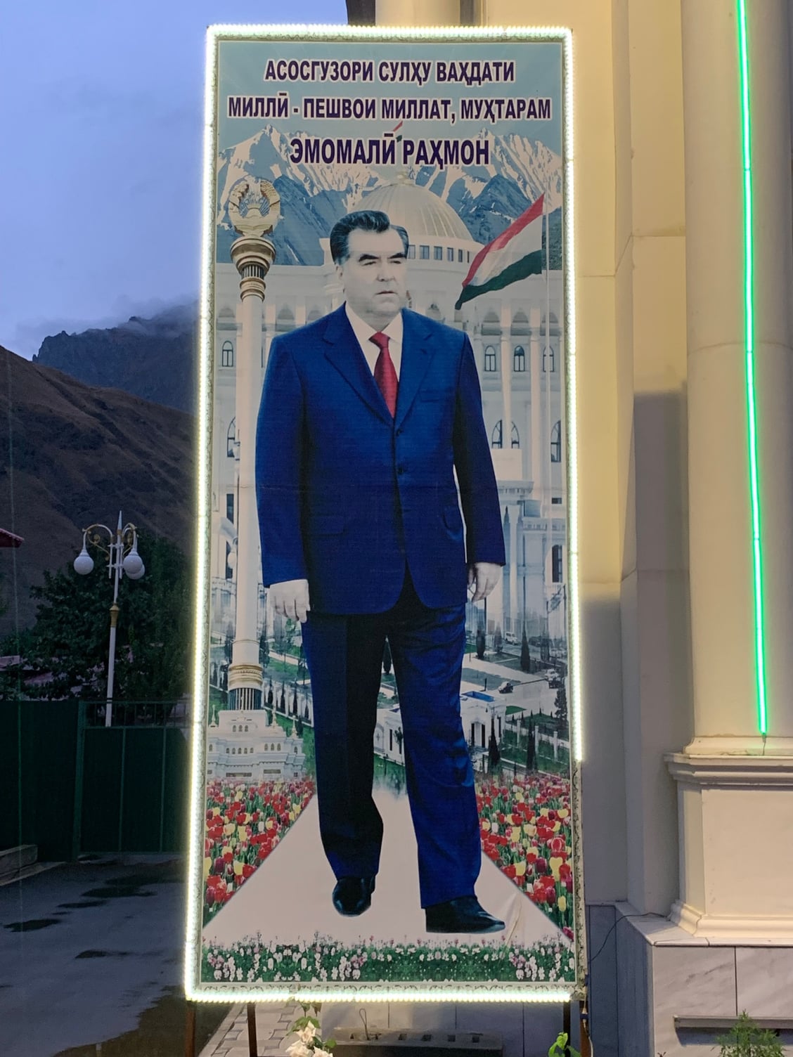
The goal for our first day was to get to a town called Kulaikhumb by nightfall. We set off at 10:30am, passing by the president's hometown, Danghara, and a massive reservoir. It has been rumored that Tajikistan's president, Emomali Rahmon, wants to shift Tajikistan's capital to Danghara.
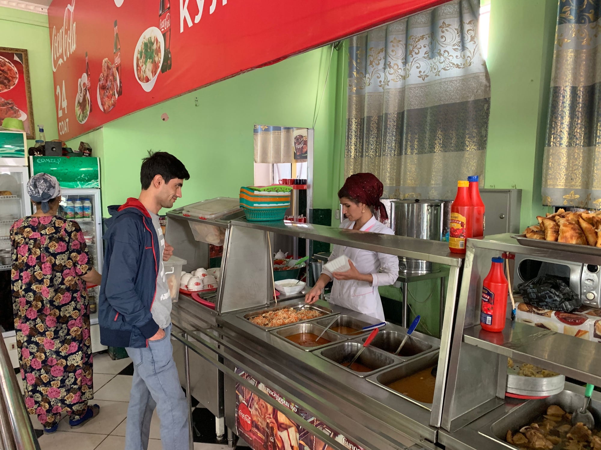
After driving for about 3.5 hours, we stopped for lunch at a small town called Kulob. On the menu was plov -- the first of many to come!
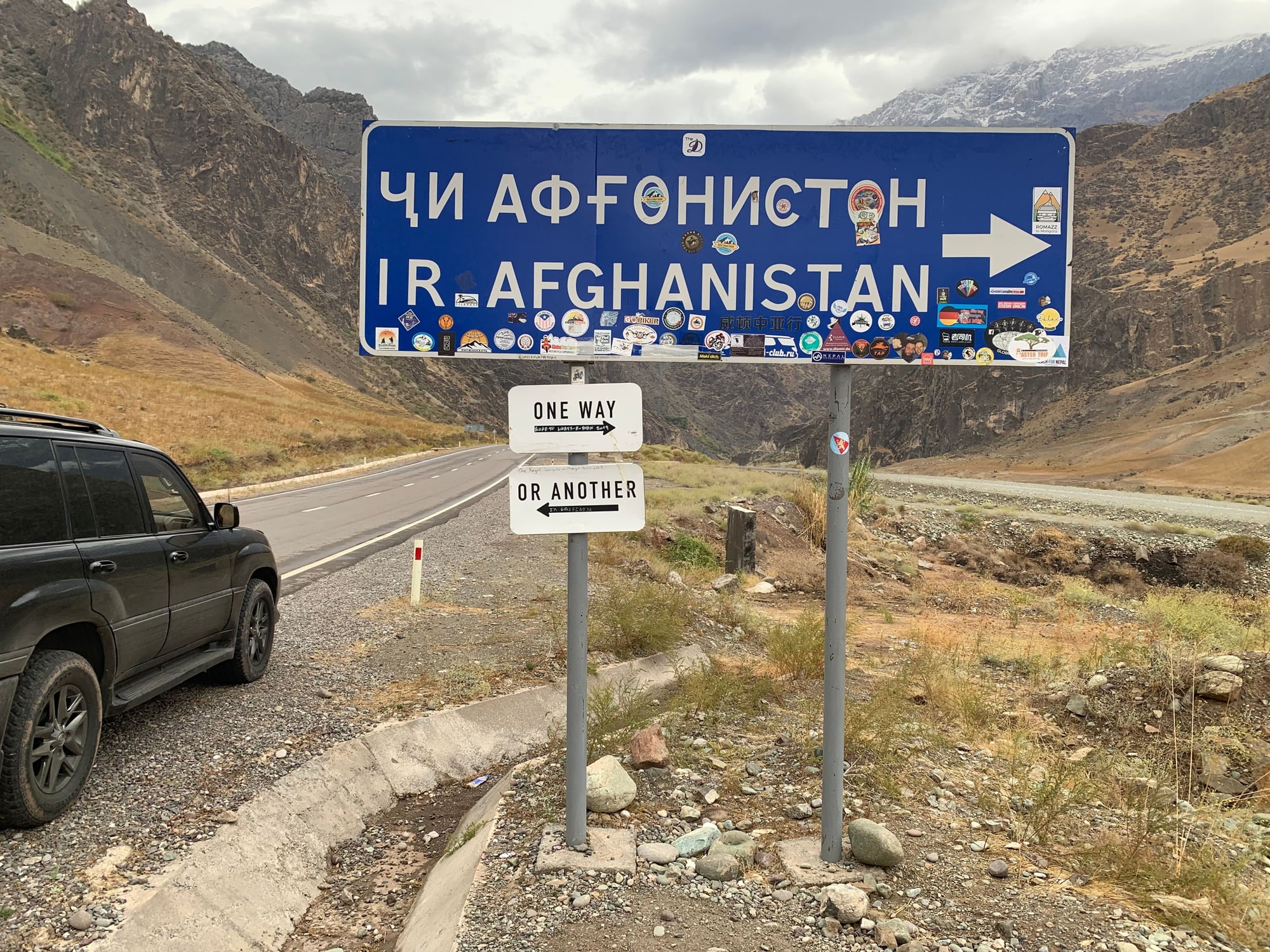
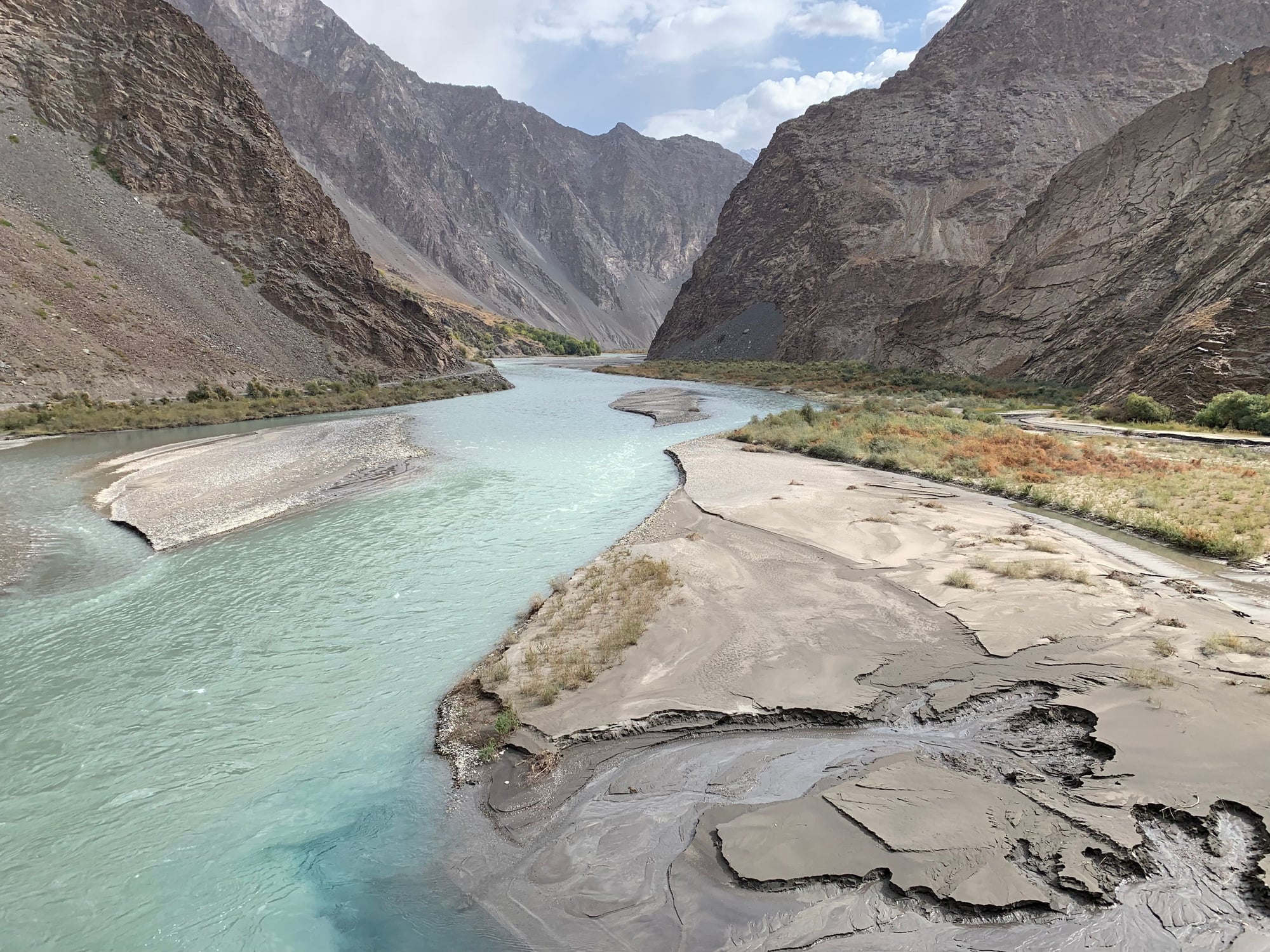
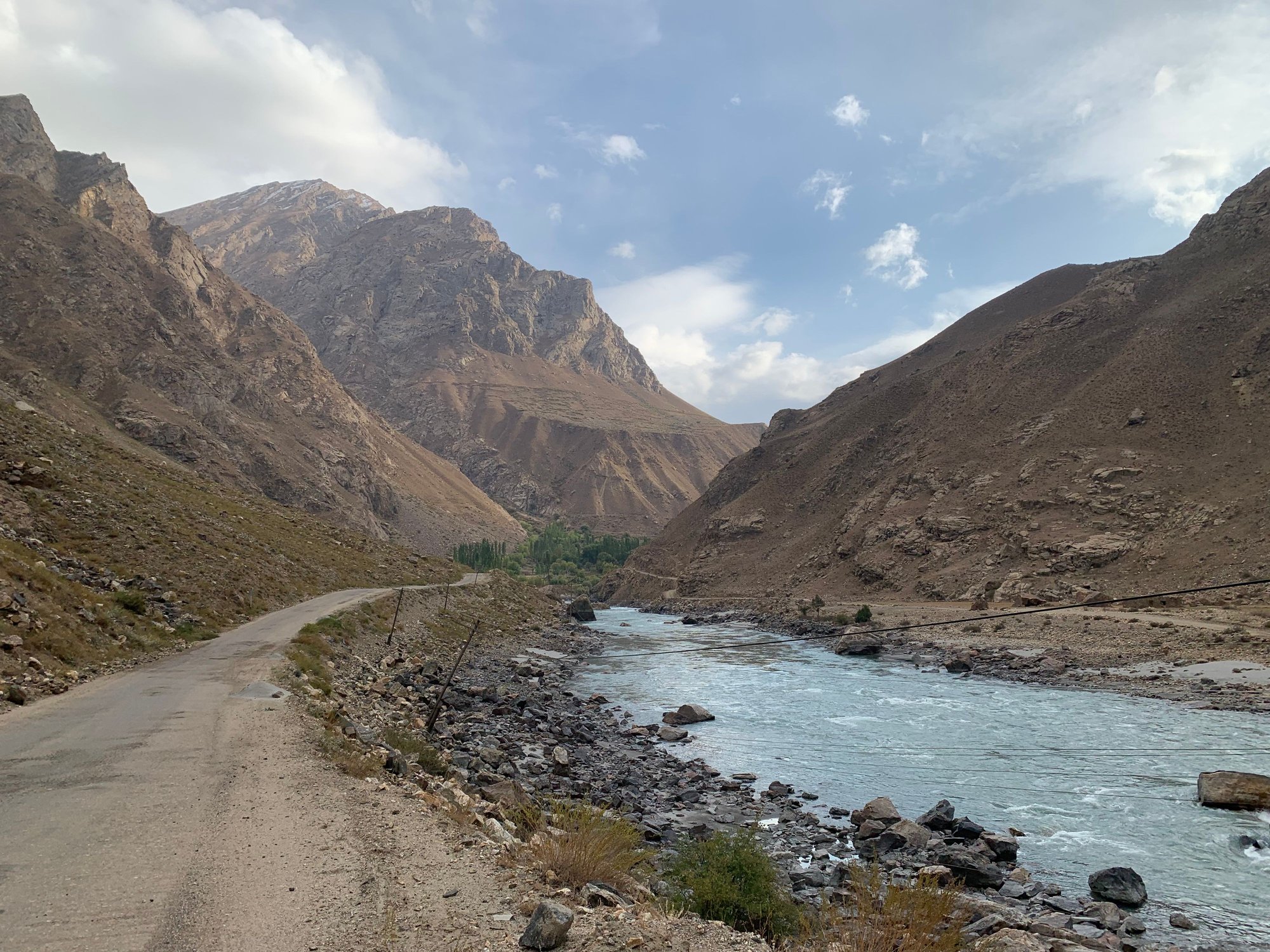
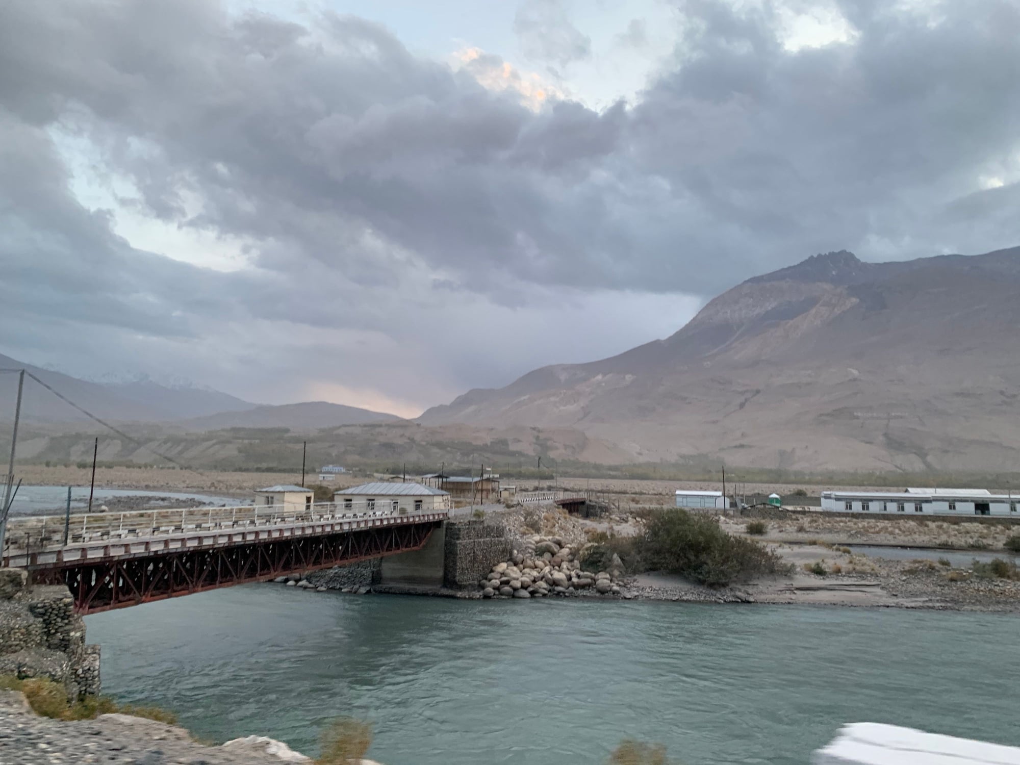
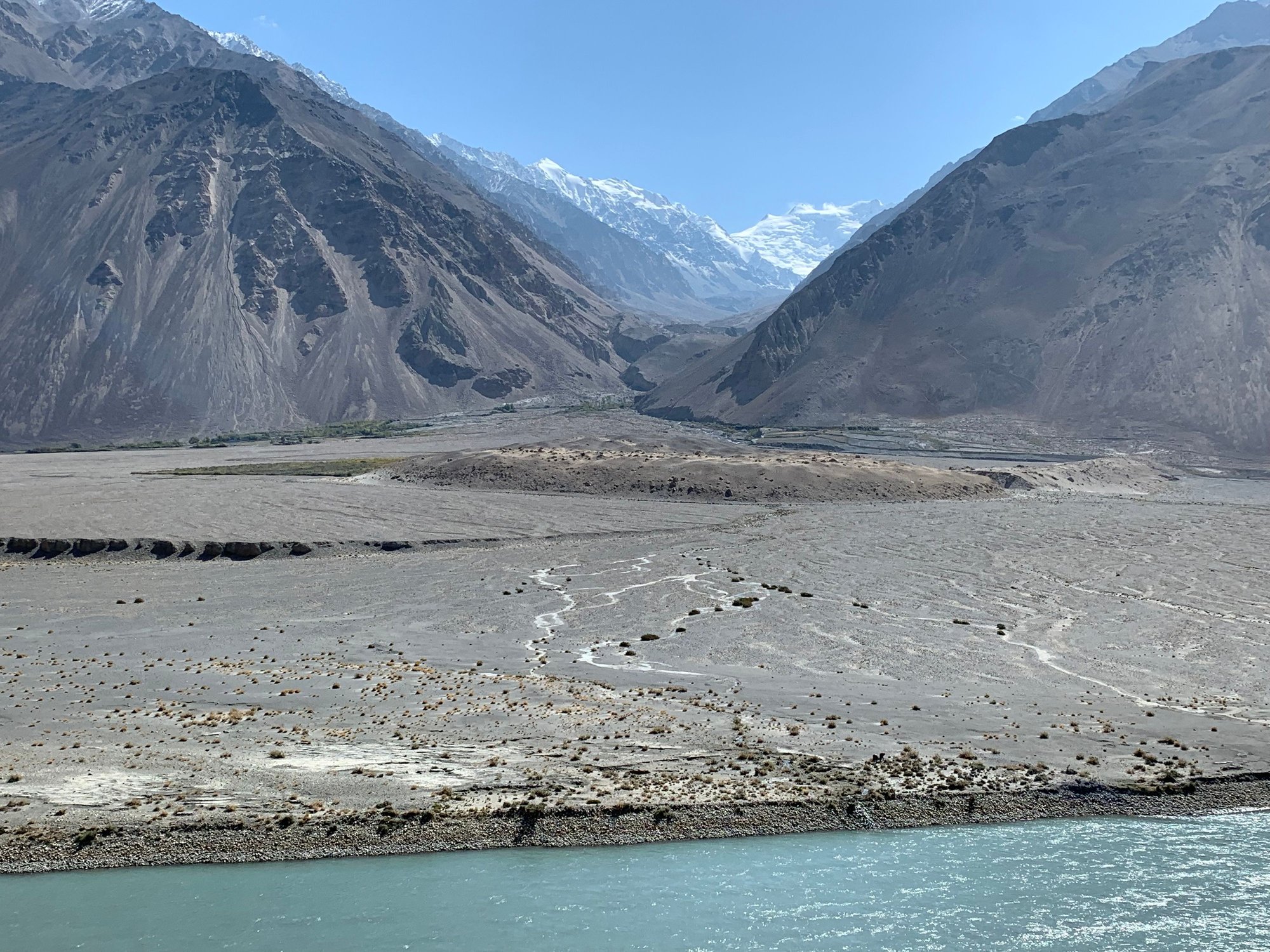
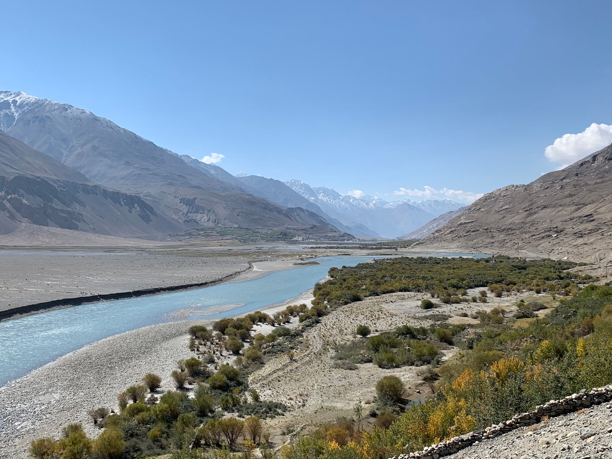
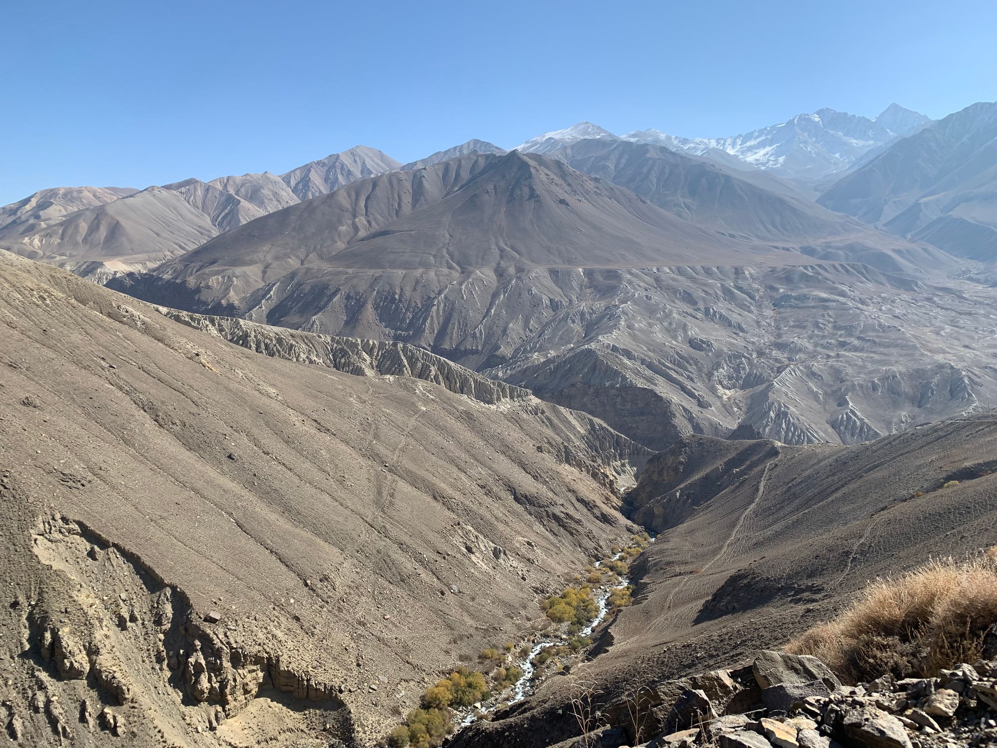
Continuing east, we drove through the mountains until we hit a valley that marked the border between Tajikistan and Afghanistan. Much of the border is separated by the Panj River, with some parts as narrow as 5 meters across.
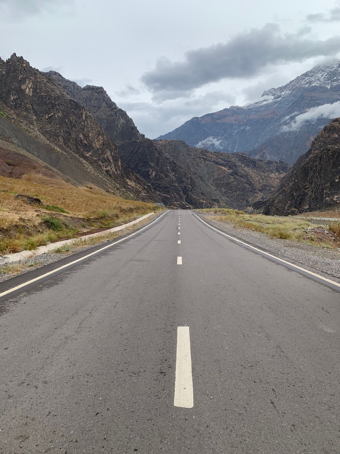
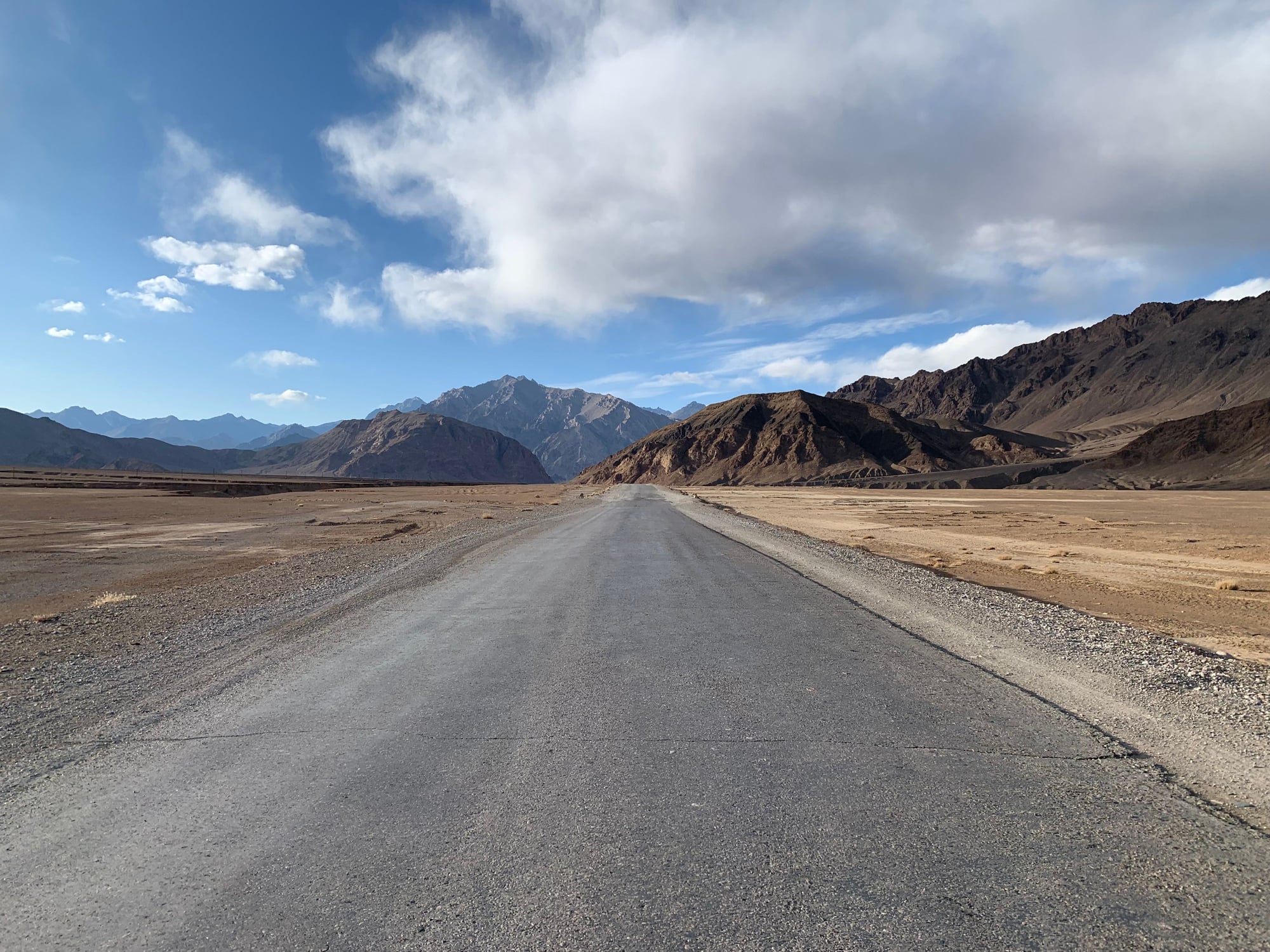
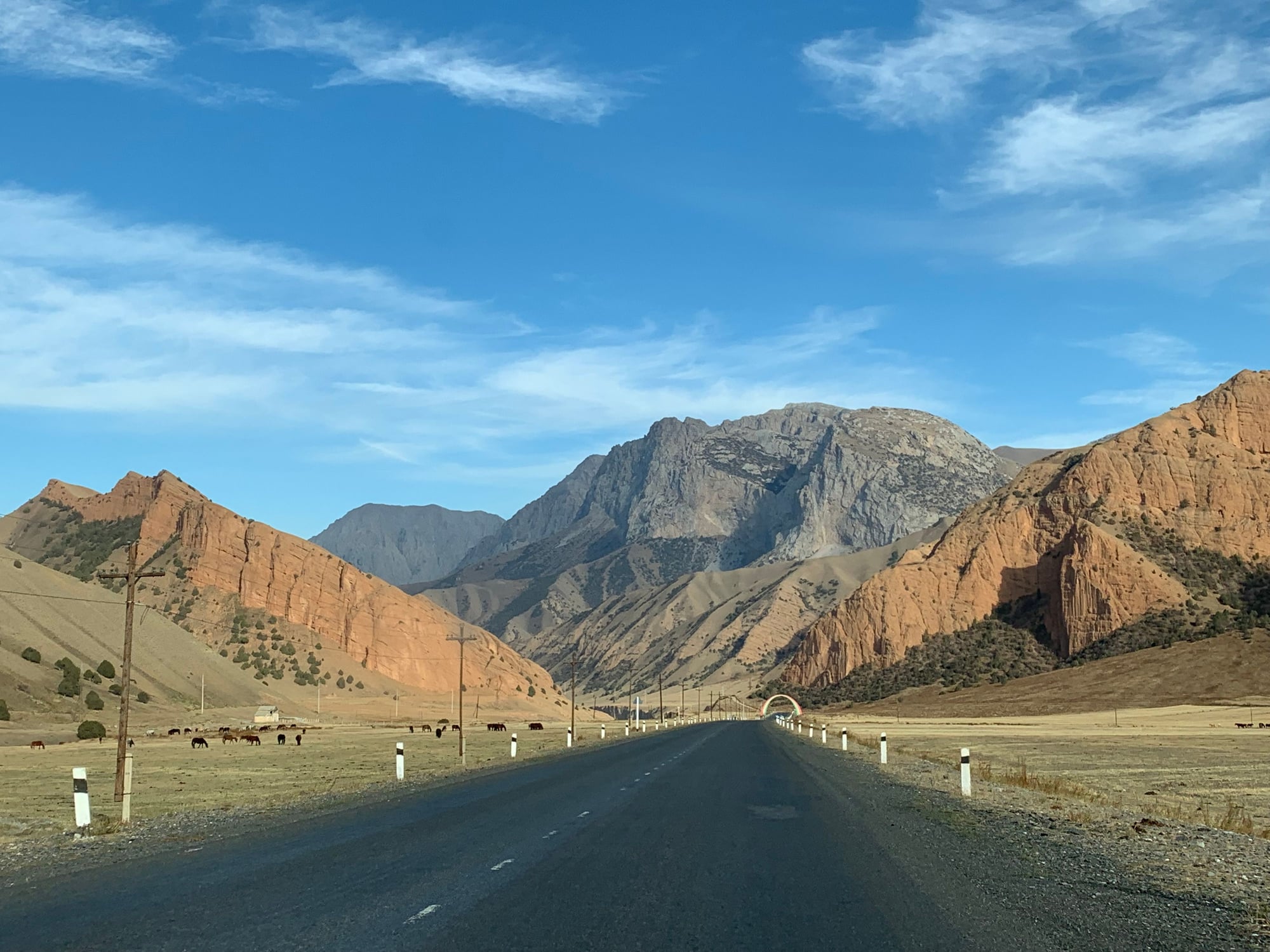
The road condition up to Kulaikhumb was excellent.
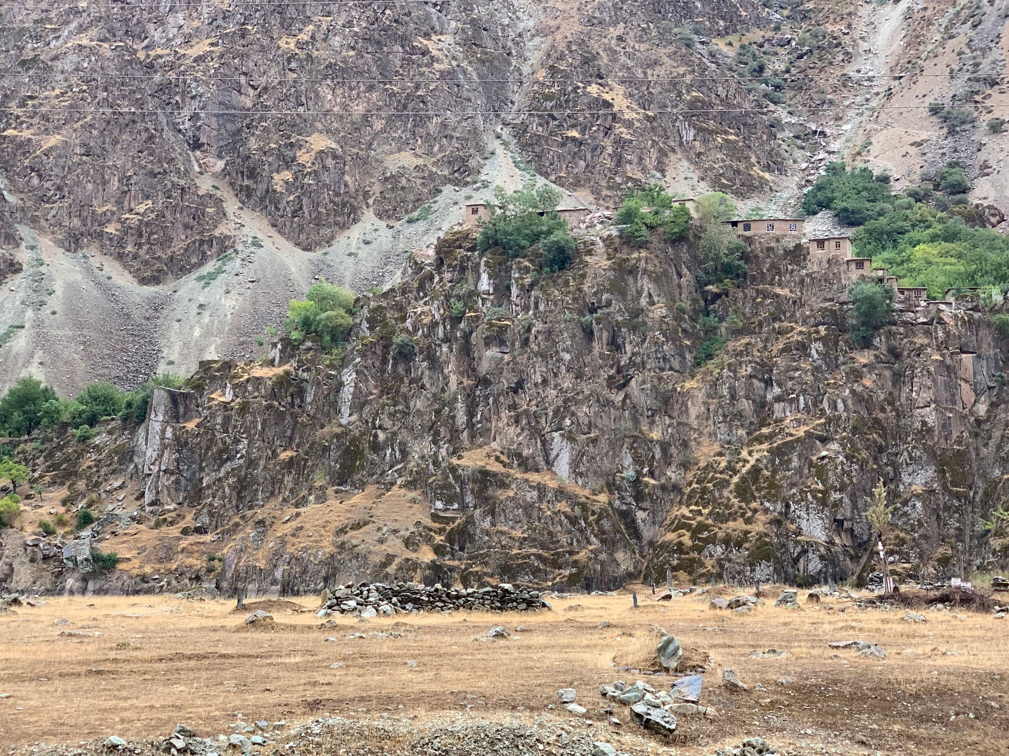
And the drive along the Panj River afforded great views of the Afghanistan, including these houses perched precariously on the tops of cliffs overlooking the river.
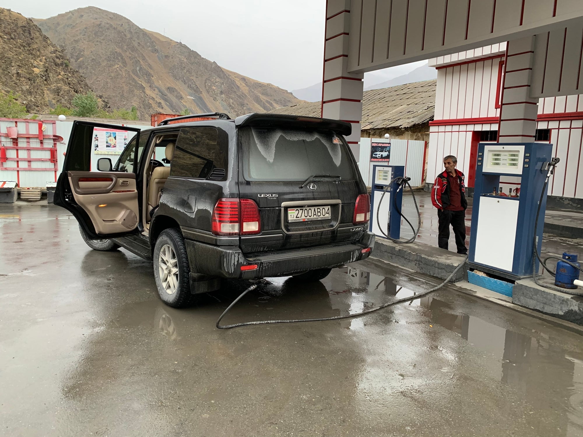
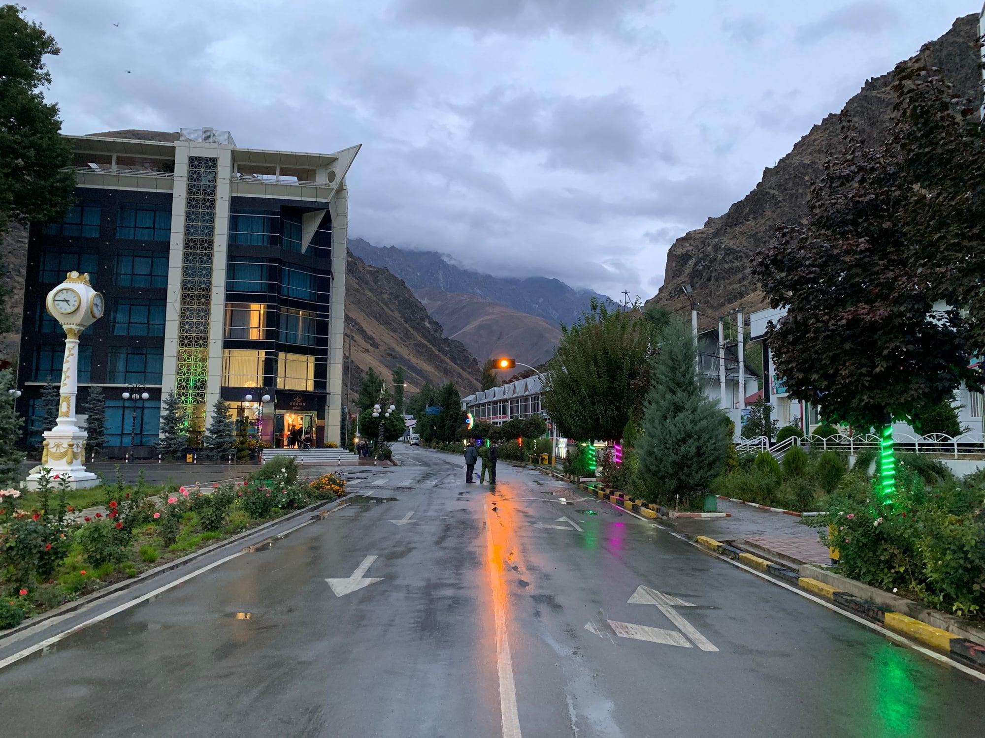
Three hours later, we pulled into Kulaikhumb. Our first stop in town was the petrol station, where we filled our main tank and additional tank with 170 liters of fuel.
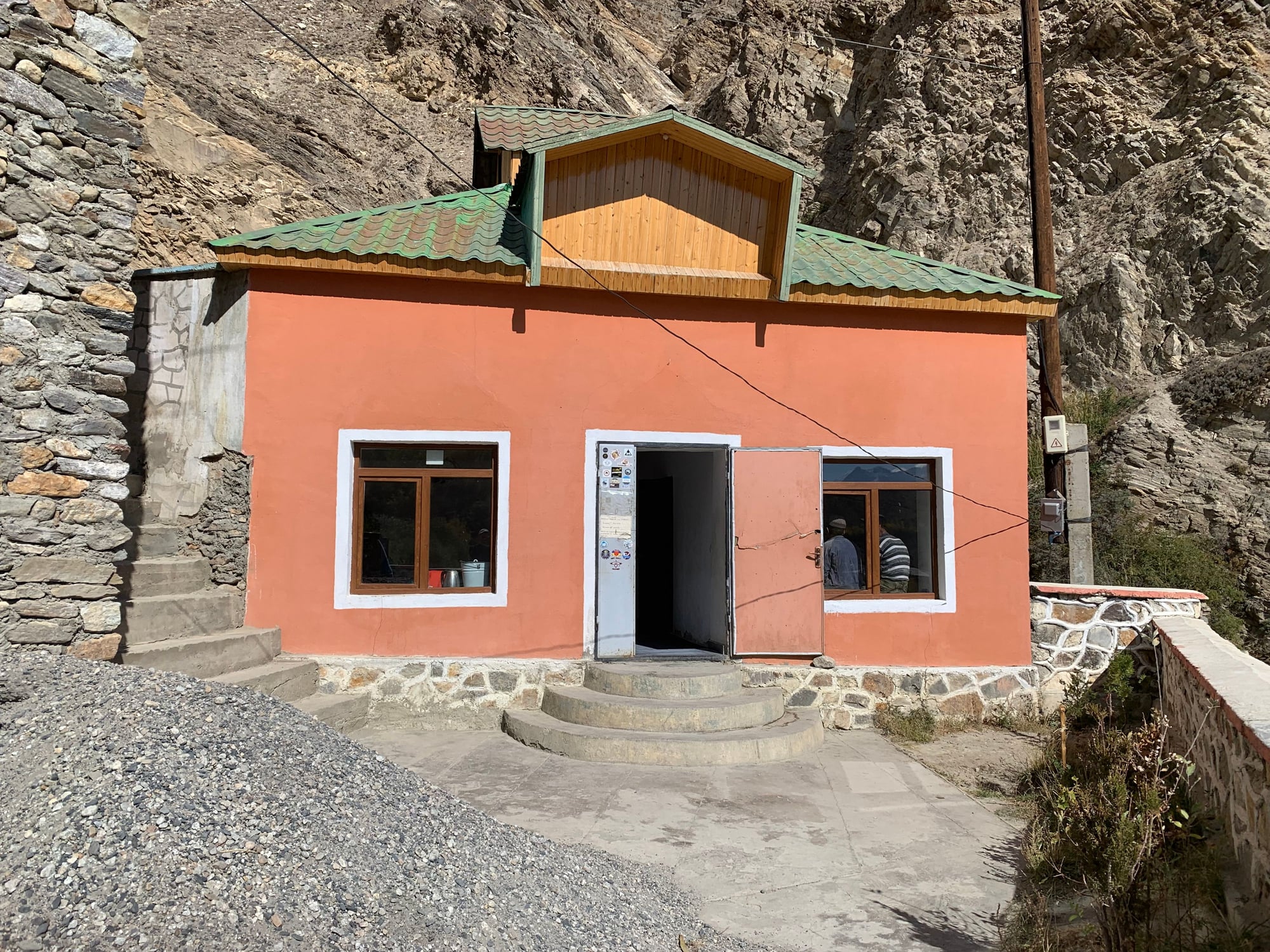
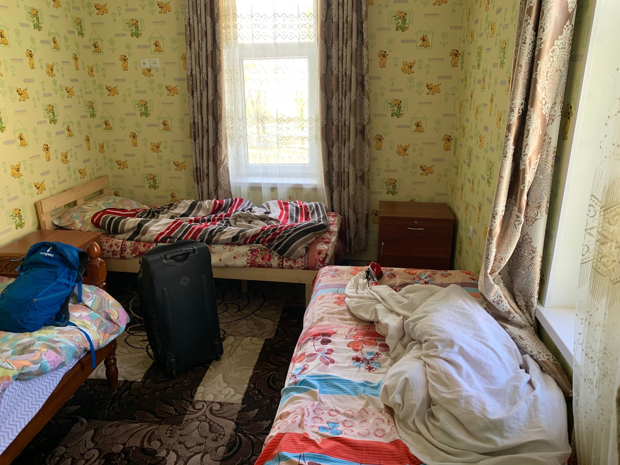
After checking into our guesthouse for the night ($15, including dinner and breakfast), we took a stroll around town.
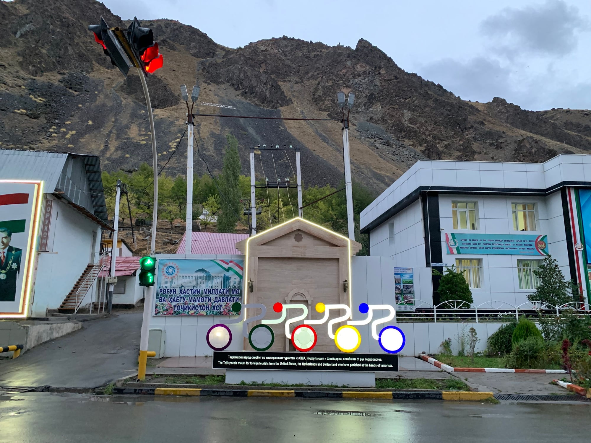
Memorial for the victims of a 2018 terrorist attack that claimed the lives of four cyclists.
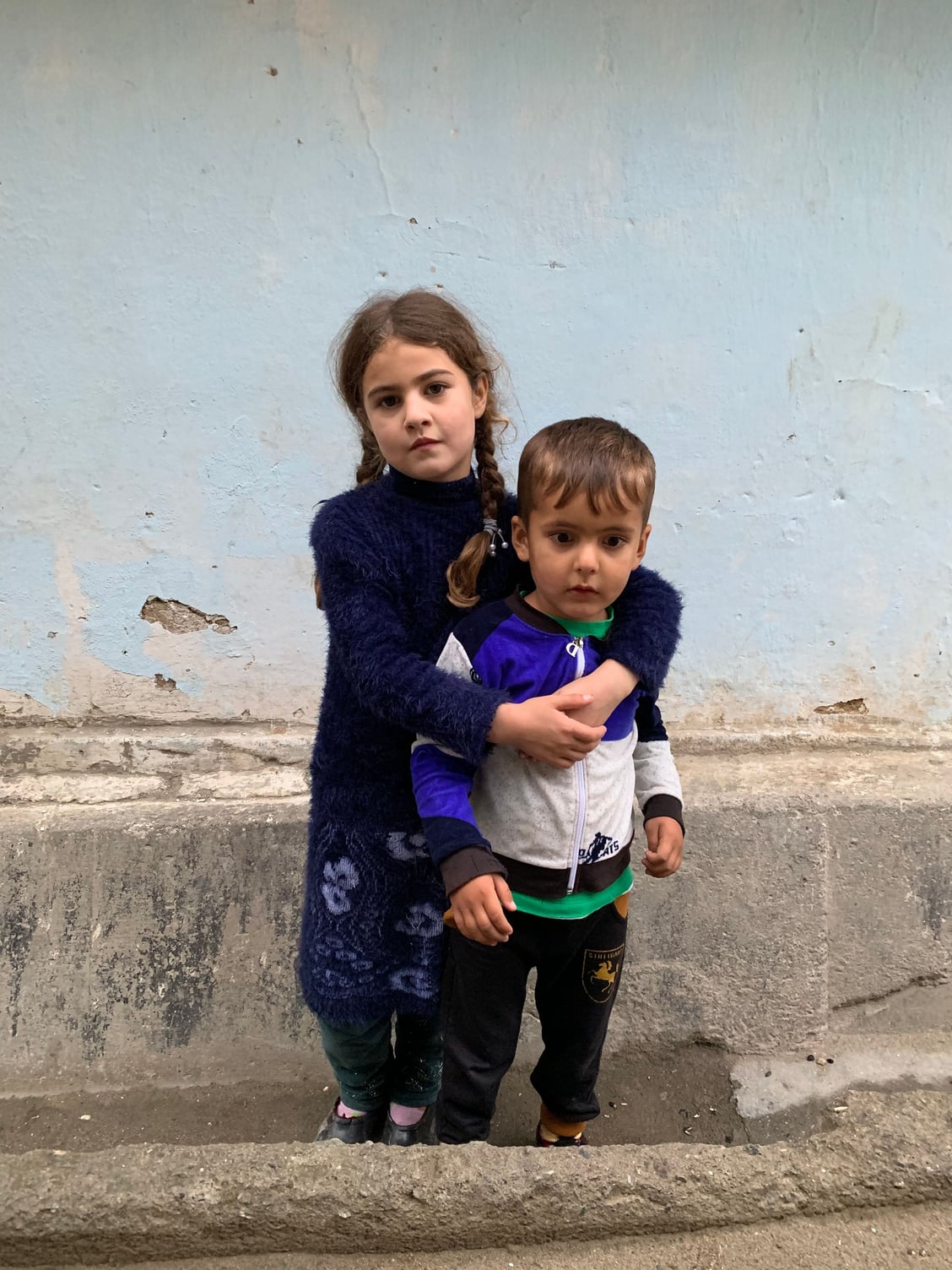
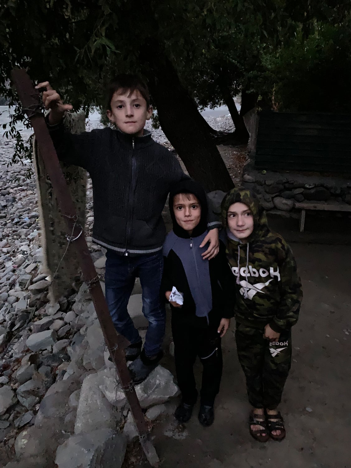
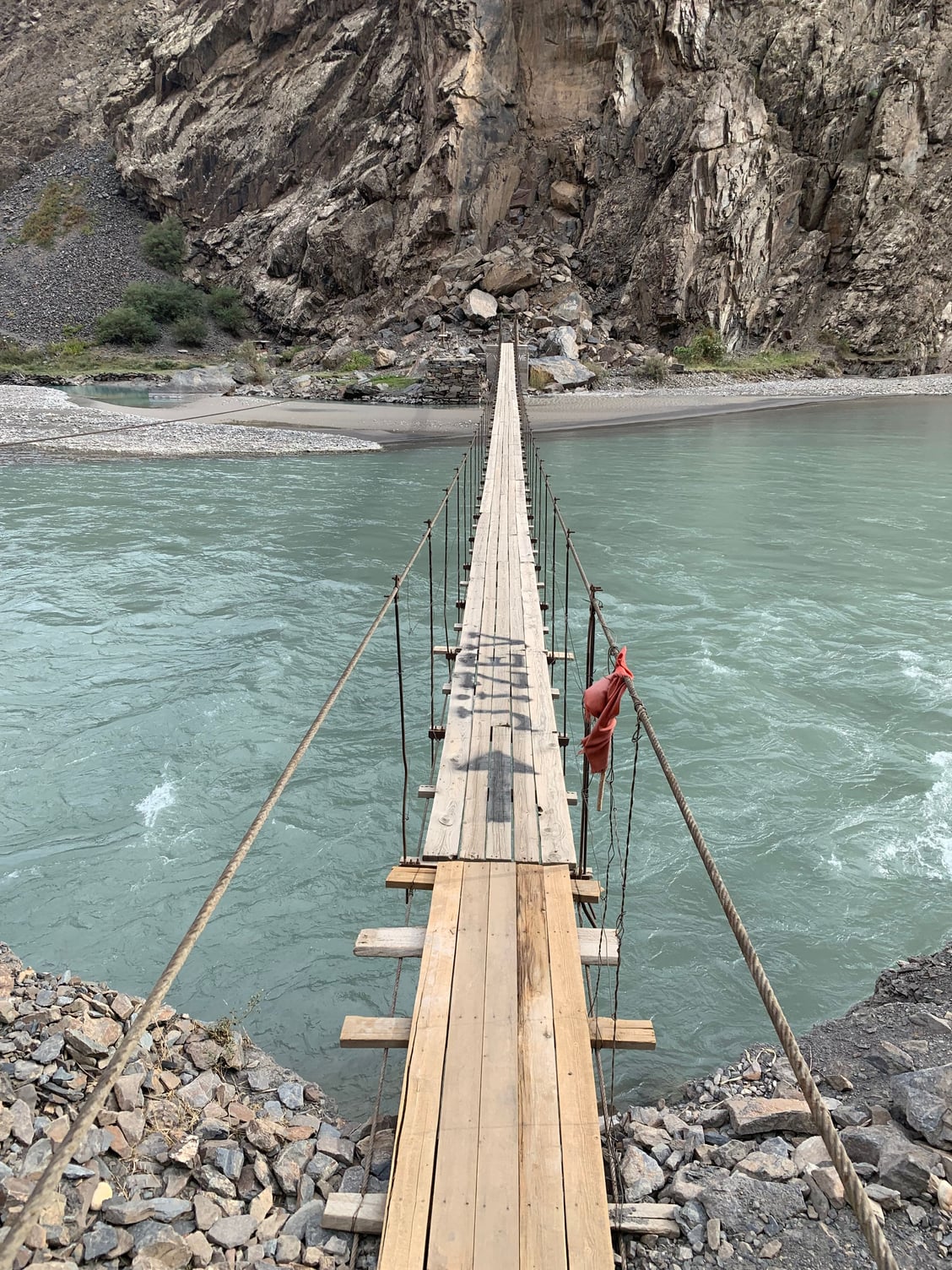
A few boys showed us the way to the river bank.
 7 October
Day 2: Kulaikhumb-Bartang Valley (Jizeu/Jizef)
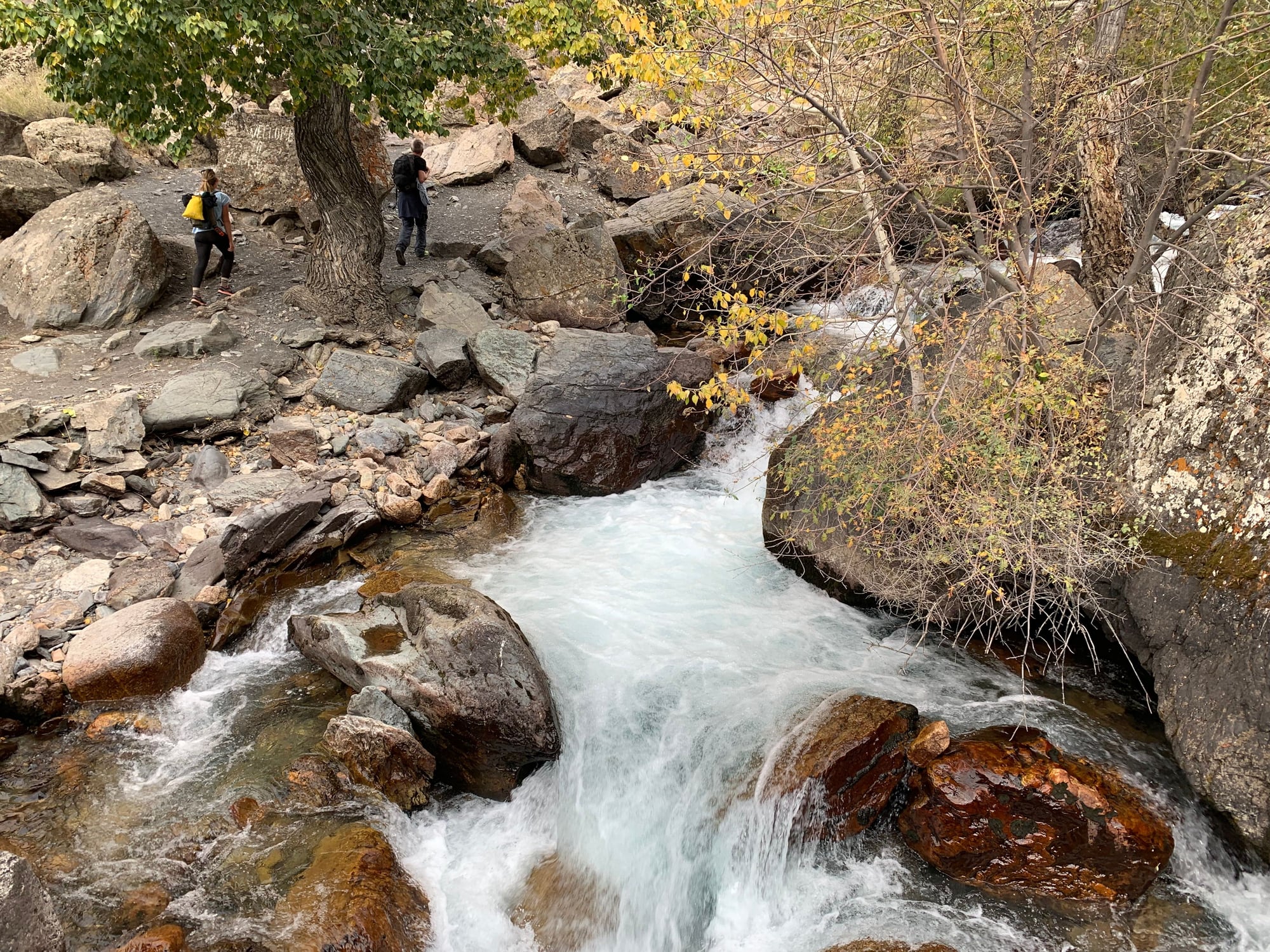
The Bartang Valley is one of three general branches that the Pamir Highway takes to cross the country. Everyone we spoke to ahead of our trip spoke highly of the Bartang Valley and convinced us that it was worth a detour. We decided to spend a day in the Bartang Valley to do an easy 2 hour hike to a village nestled in the mountains at an altitude of about 2,500 meters. Accessible only by foot, the detour gave us a glimpse of the beauty of the Bartang Valley with an overnight homestay.
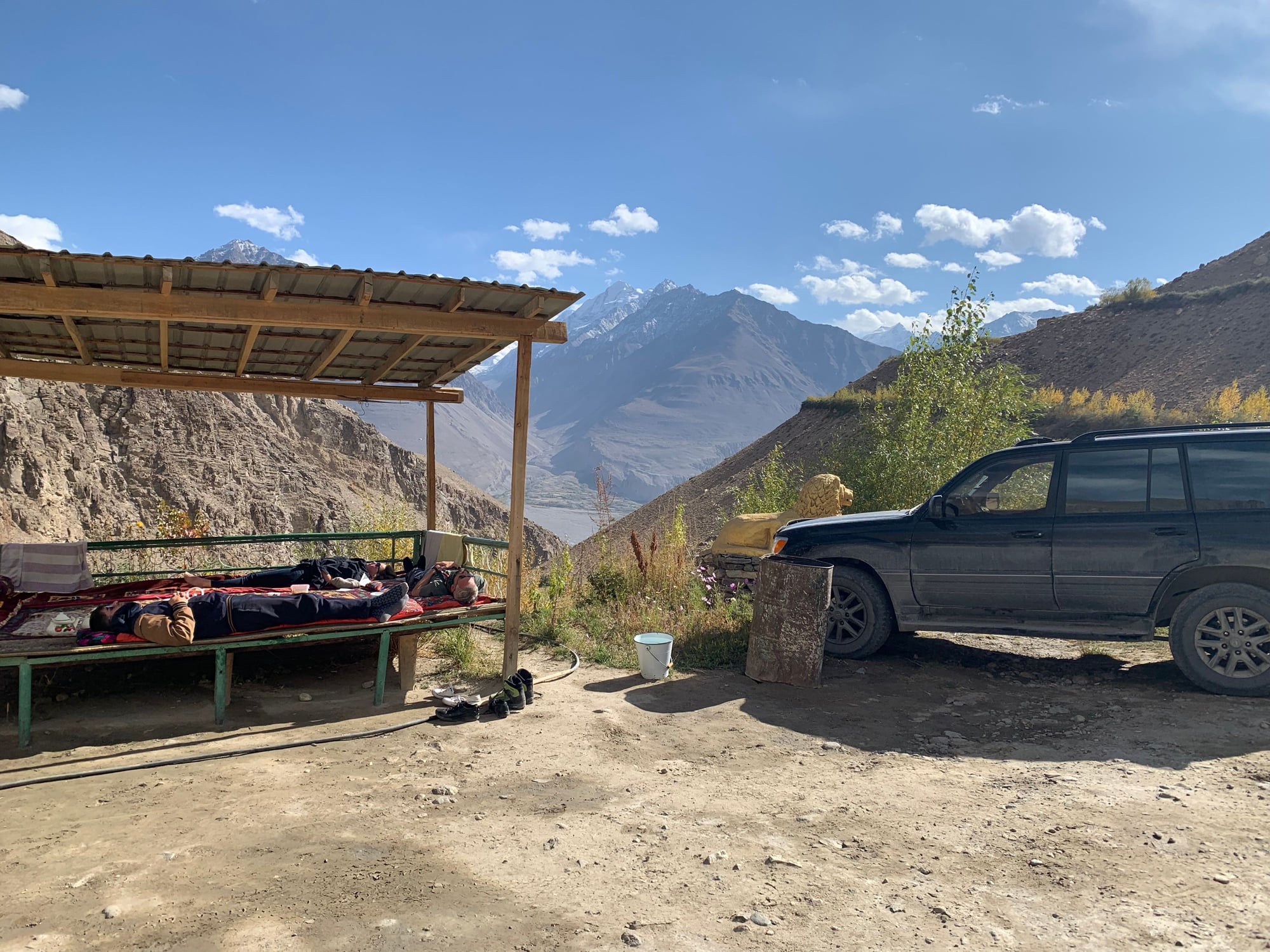
En-route to the Bartang Valley. Drivers frequently stop to assist other drivers with flats and other vehicle-related issues.

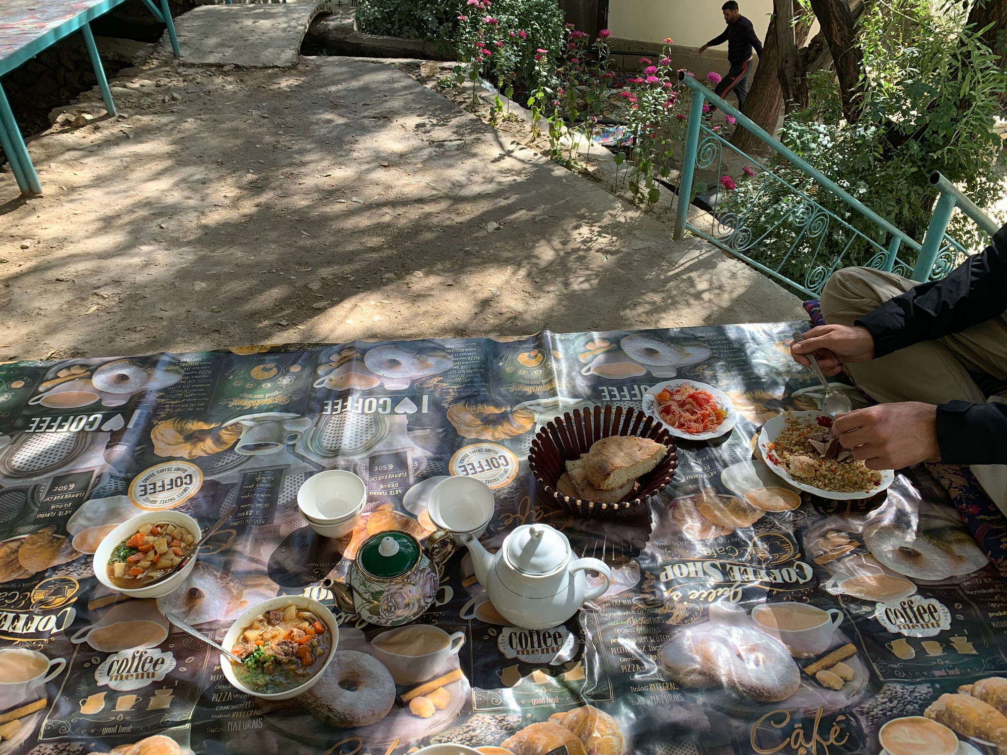
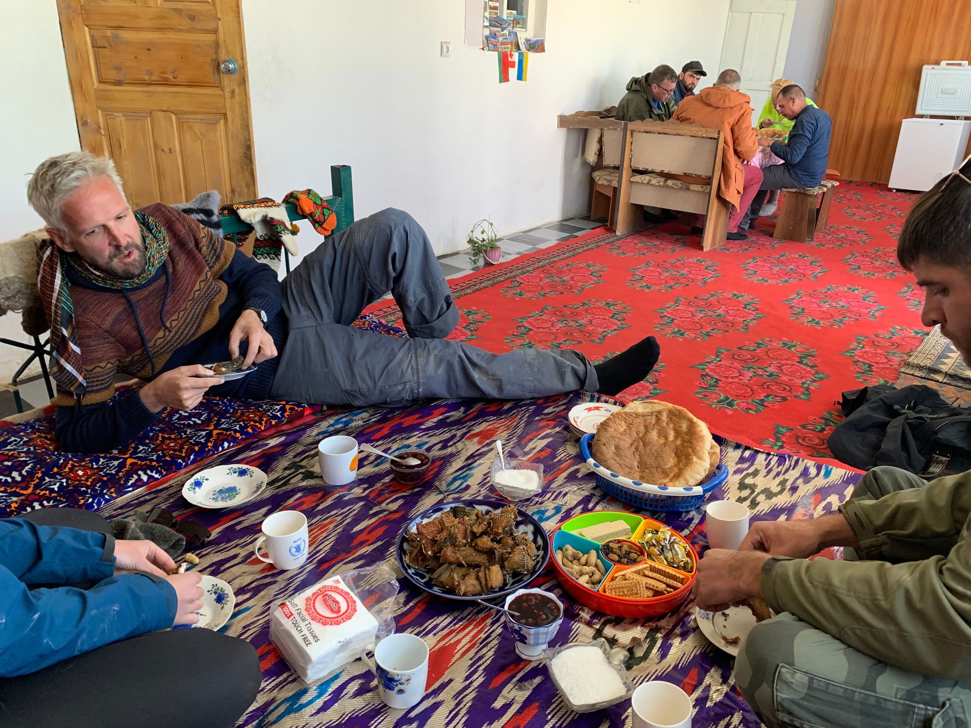
Lunch was a cheap ($2) and tasty bowl of lagman (soup noodles with potatoes and lamb).
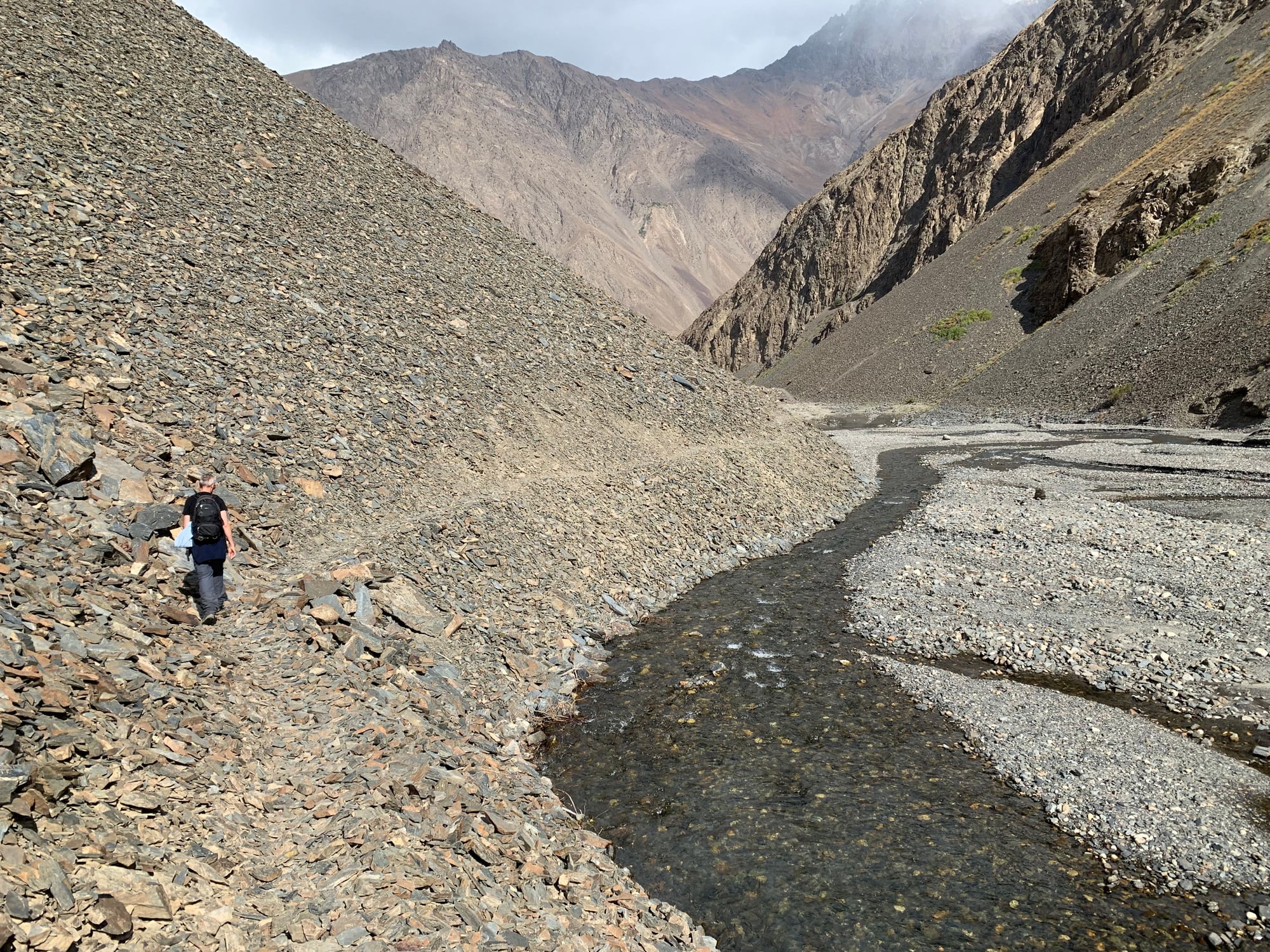
Shortly after making the turnoff into the Bartang Valley, we arrived at the beginning of our hike.
The scenery, as expected, was stunning throughout the 2 hour hike.

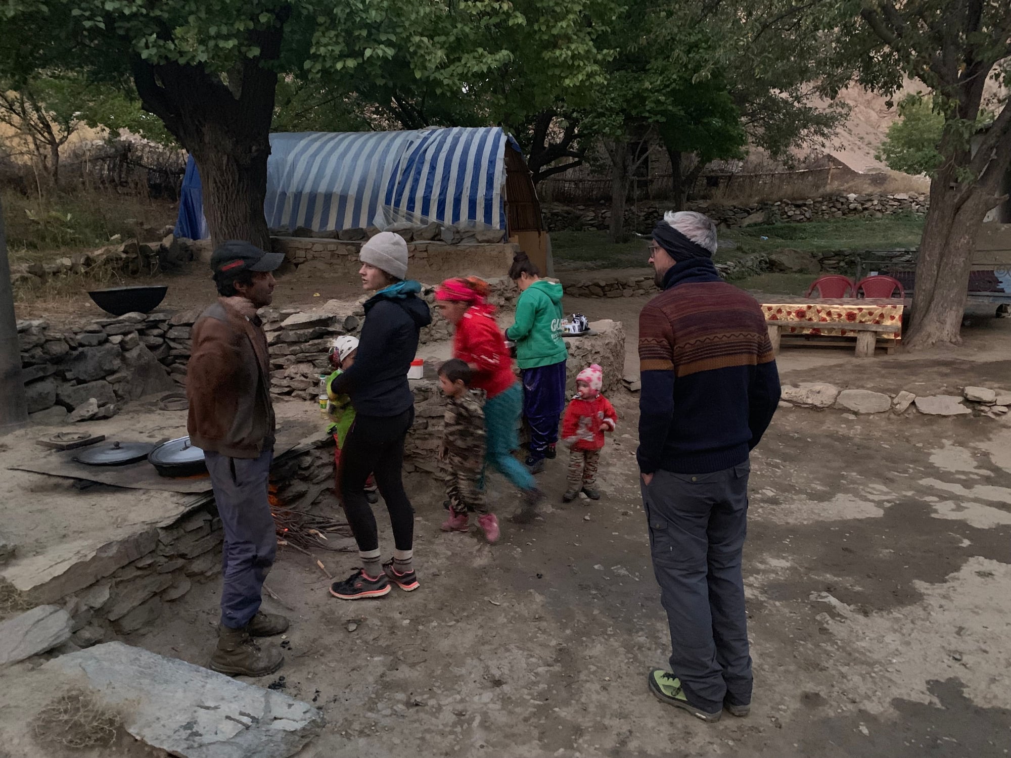
At the top of the hike, we reached Jizeu, a small village where we would spend the night.
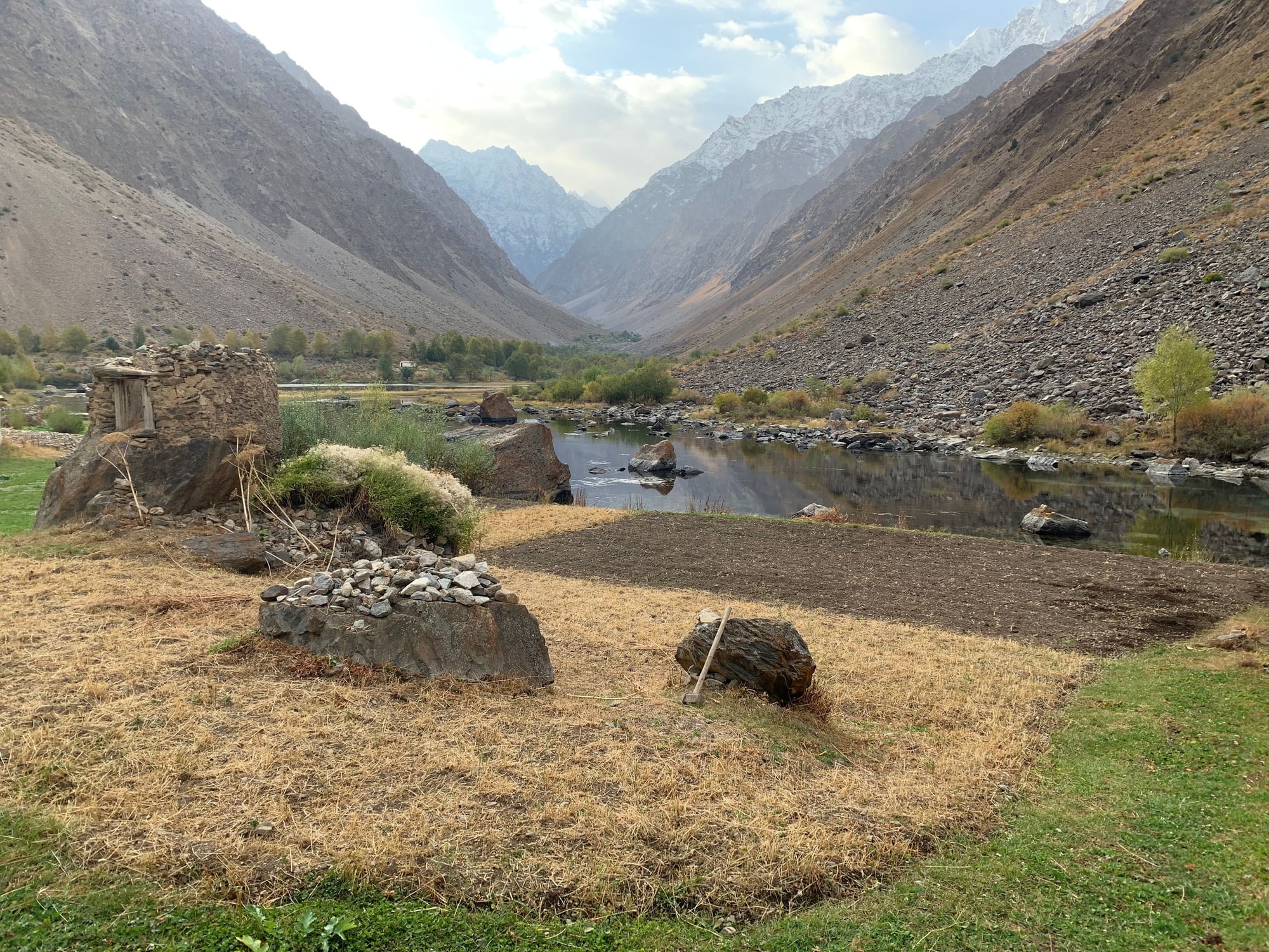
There were two homestays that we could choose from for $13.50 a night (including dinner and breakfast) and we opted for the one closest to the trail.

We showed up unexpectedly, so a late dinner consisting of potatoes and a tomato salad was cooked as the sun set.
By the time dinner was over at 7, the sky was completely dark. Without any electricity or cellular service, the only source of entertainment became a pitch black sky blanketed by stars. By 7:30, after I had seen a shooting star and figured that there was nothing else to do in the dark, I fell asleep until sunrise the next morning.
8 October
Day 3: Bartang Valley (Jizeu/Jizef)-Khorog-Ishkashim
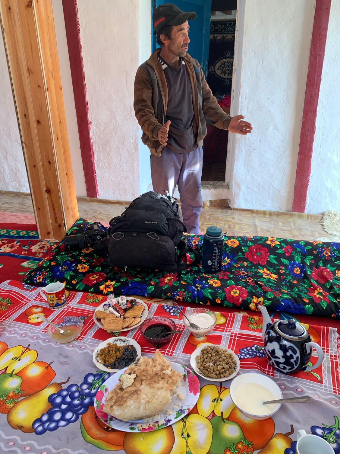
I don't remember the last time I went to bed before and 8 and slept for 11 hours straight. Despite a freezing night, I woke up without any technology just as the sun poked above the horizon. Breakfast was another simple affair of a sweet, dairy-based porridge, bread, jam, biscuits, raisins, and tea.
After breakfast, he headed back down the valley to the trailhead, where we met our driver for the drive to Khorog and Ishkashim.
At this point, we passed by some of the narrowest parts of the Panj River separating Tajikistan from Afghanistan.
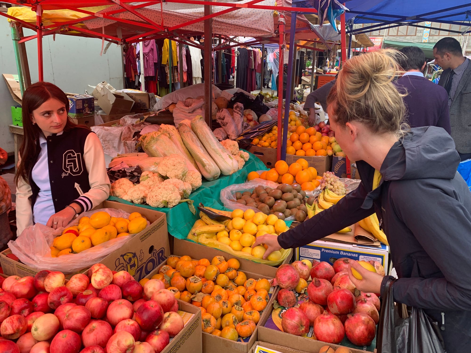
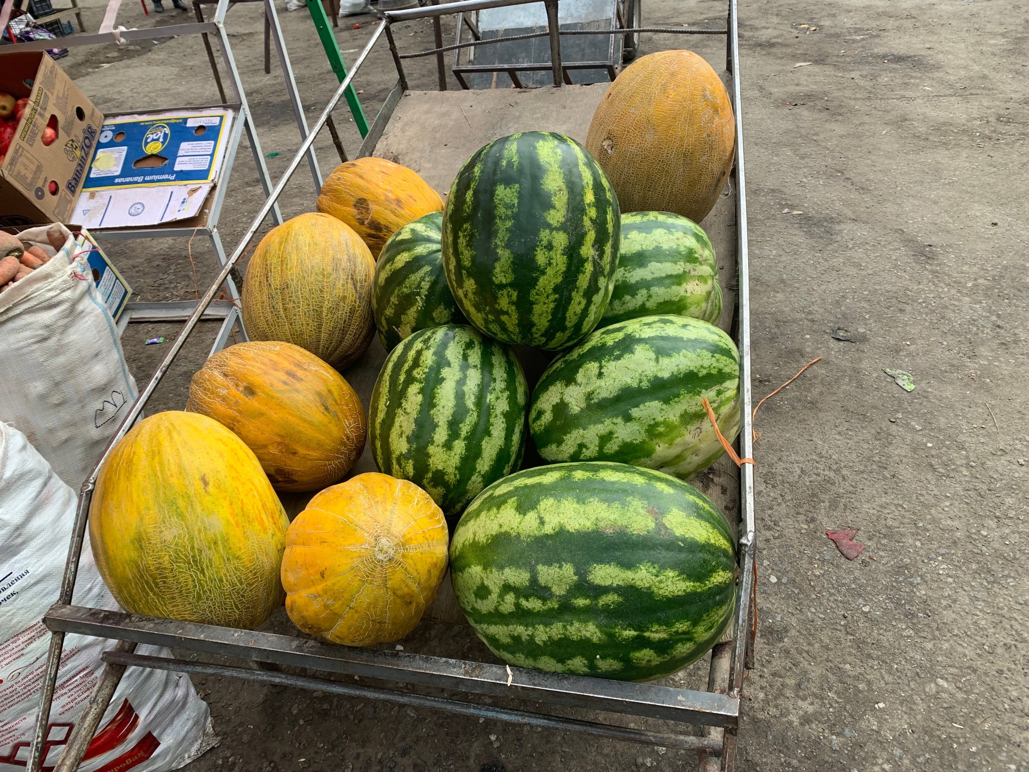
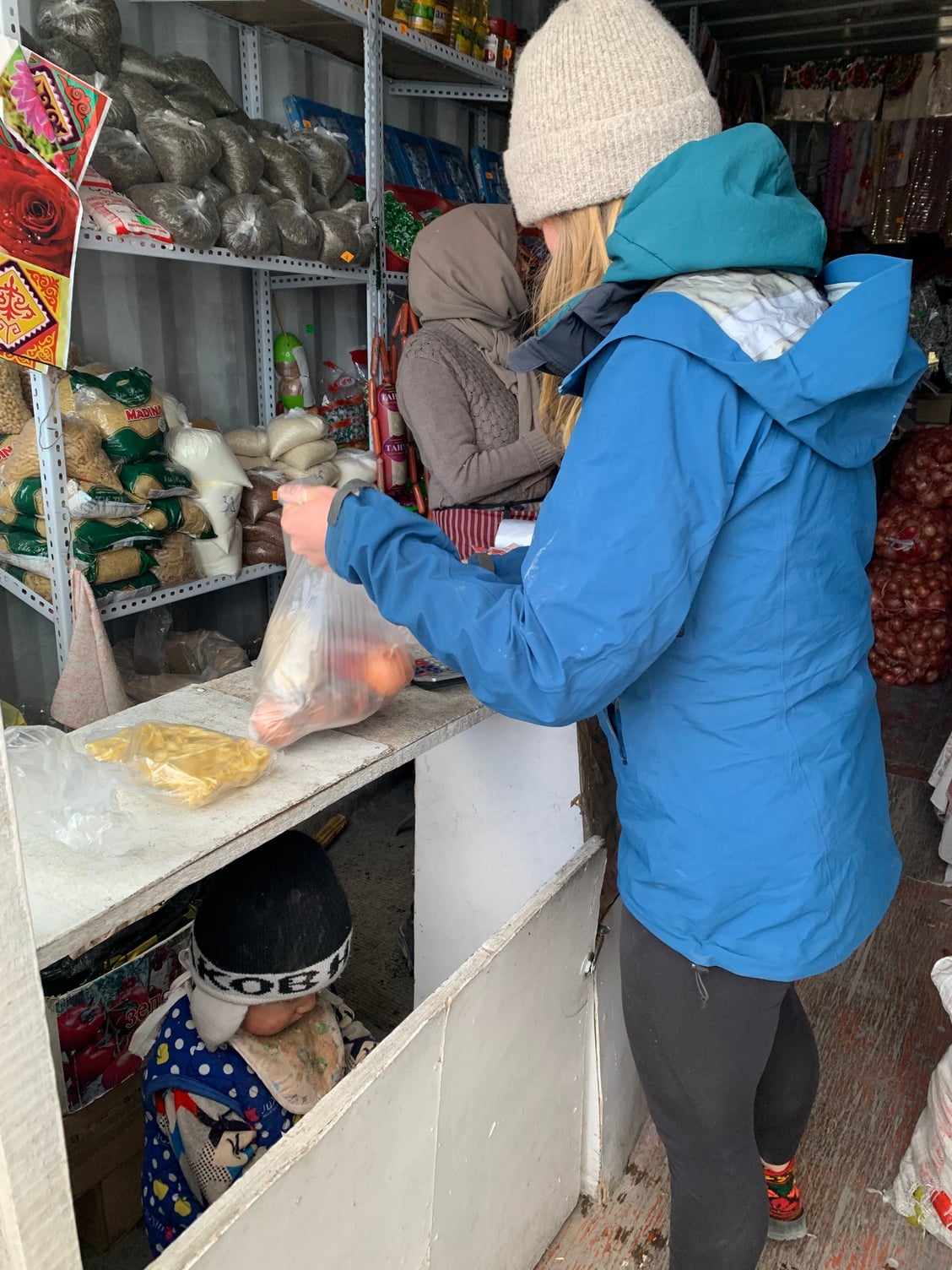
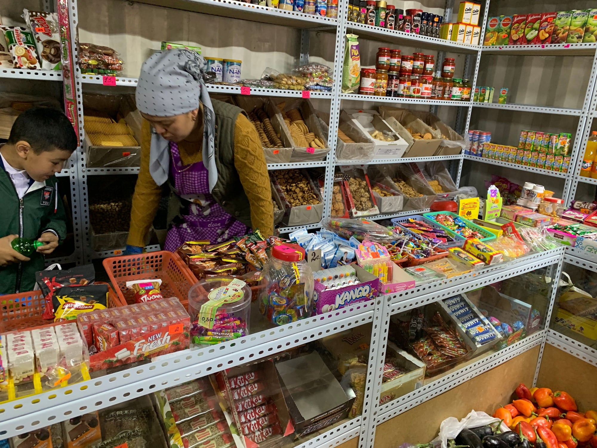
At Khorog, we stopped for lunch and a quick visit to the local market to pick up some fresh fruit.
Ishkashim is a border town near the southernmost part of Tajikistan. Every Saturday, a market on the Afghan side opens to Tajiks and foreign visitors wishing to make a day trip to pick up Afghan goods.
 9 October
Day 4: Ishkashim-Langar
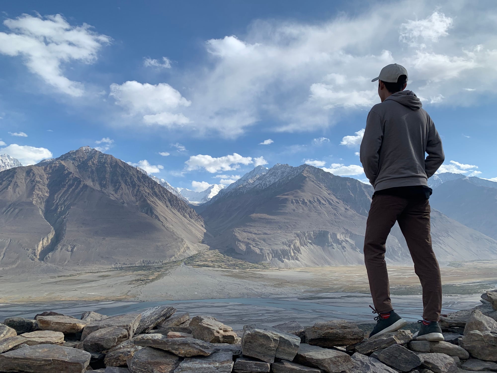
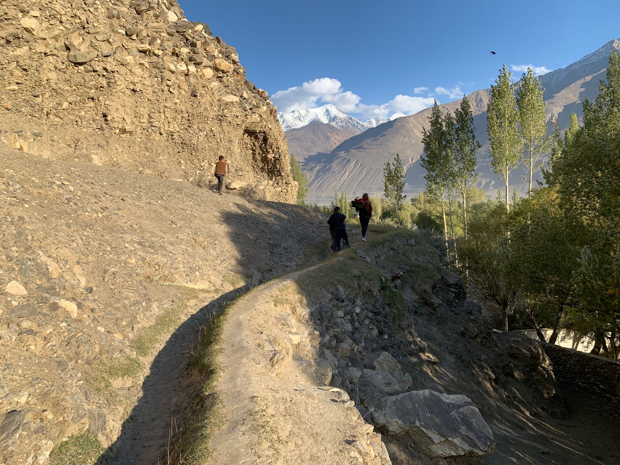
By the third day, I had little clarity on how much progress we would make. We had previously read about visiting a fort or two along the Wakhan Valley and decided that hitting them up today would be wise. This was the only day we would be spending entirely in the Wakhan Valley.
Our first stop was the Khakha fortress. Because the fortress is still occupied by the Tajik army and border patrol given its position overlooking the Panj River, pictures were not allowed. I managed to sneak in one shot from the fortress overlooking Afghanistan.
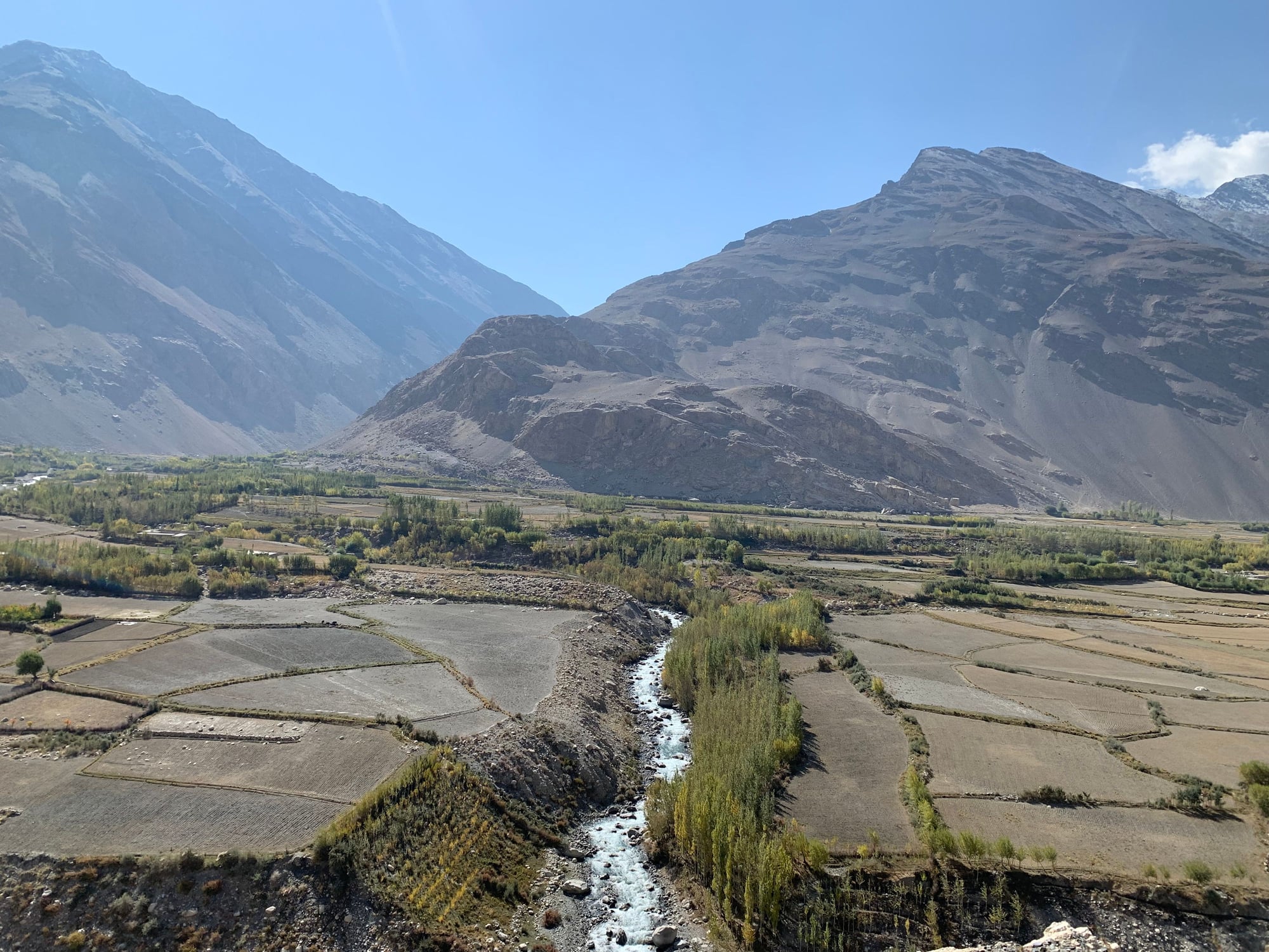
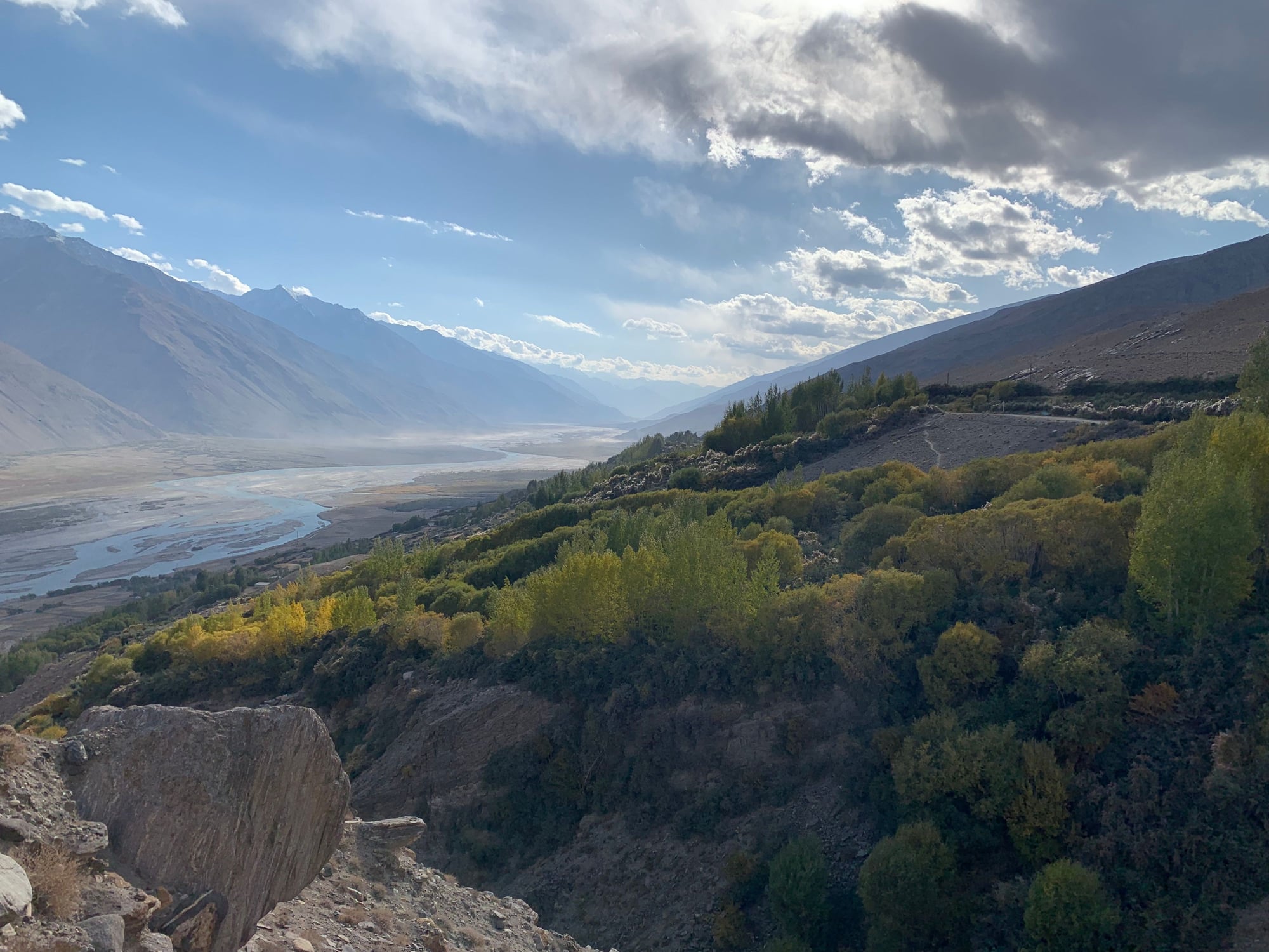
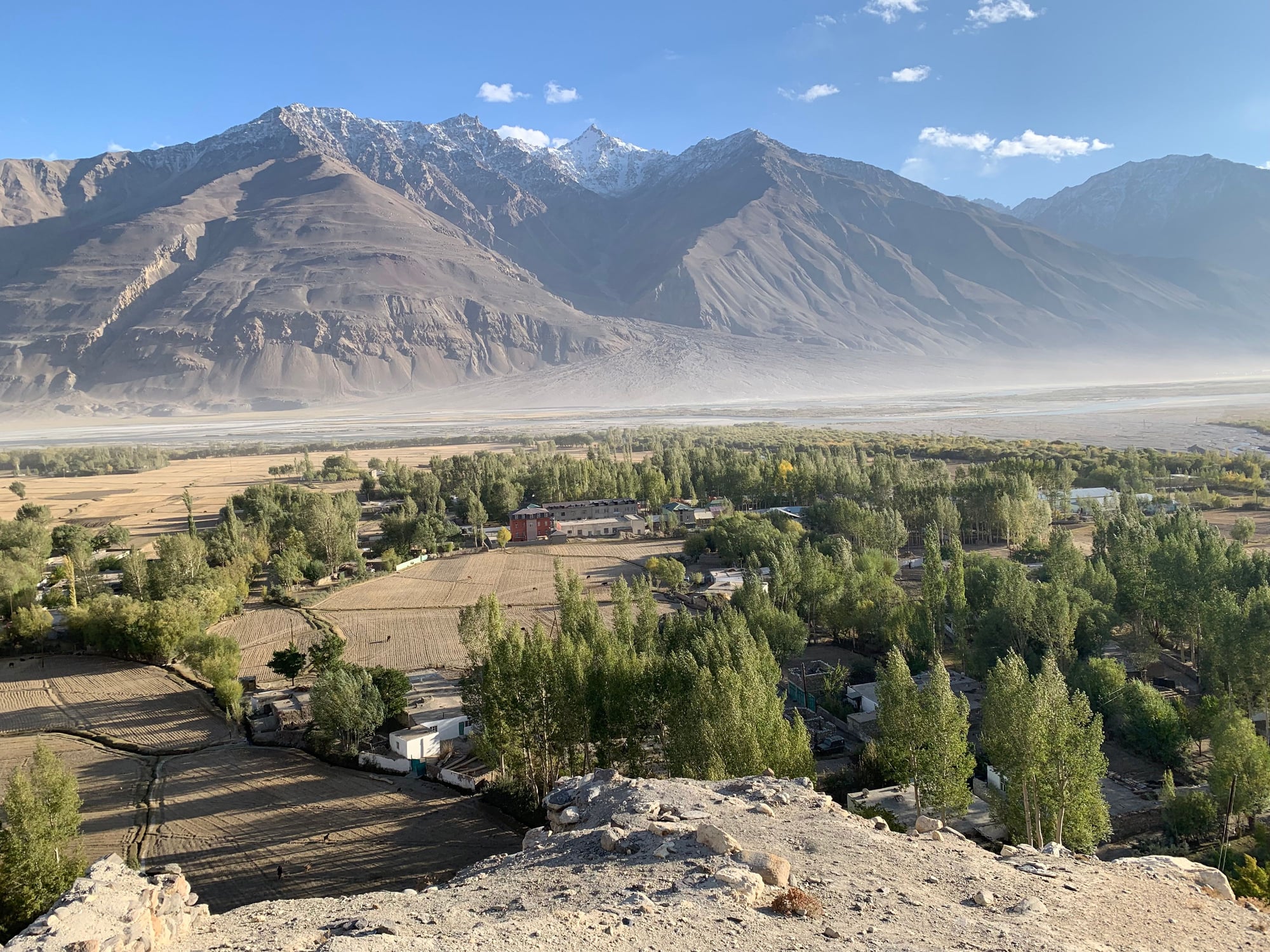
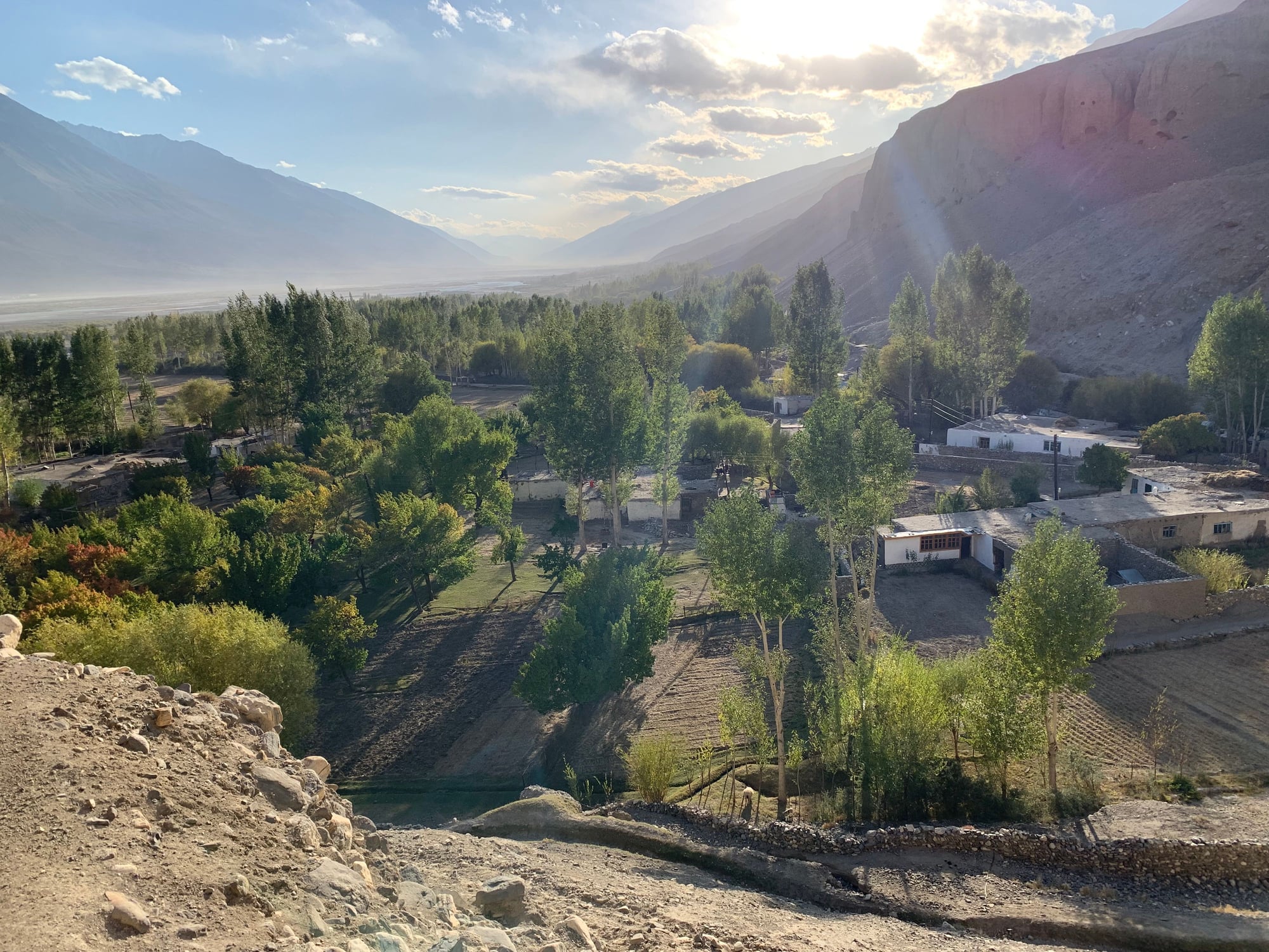
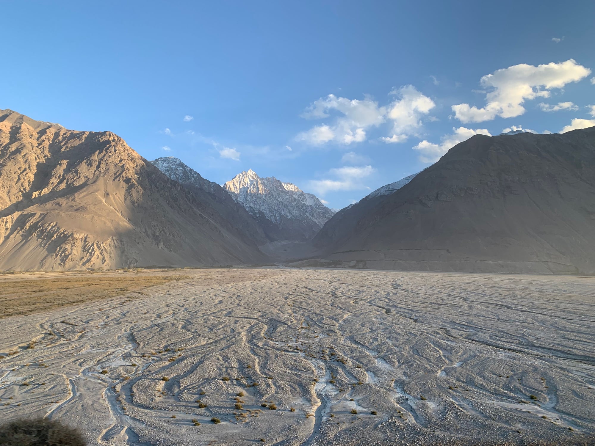
As we continued deeper into the Wakhan, the landscape became ever more spectacular.
Our next stop was Yamchun, arguably the site of Wakhan's most famous fortress. Before visiting the fortress, however, we paid a visit to the local hot springs. I was a little apprehensive at first given that it was nude with separate rooms from men and women, but with the perfect water temperature, the entire experience felt completely normal and very relaxing.
After the hot springs, we had lunch overlooking the Wakhan, followed by a quick nap in the sun.
The Yamchun Fortress was built in the 3rd century BC as a Zoroastrian place of worship. While little of the structure remains today, the location and views from the top were magnificent.

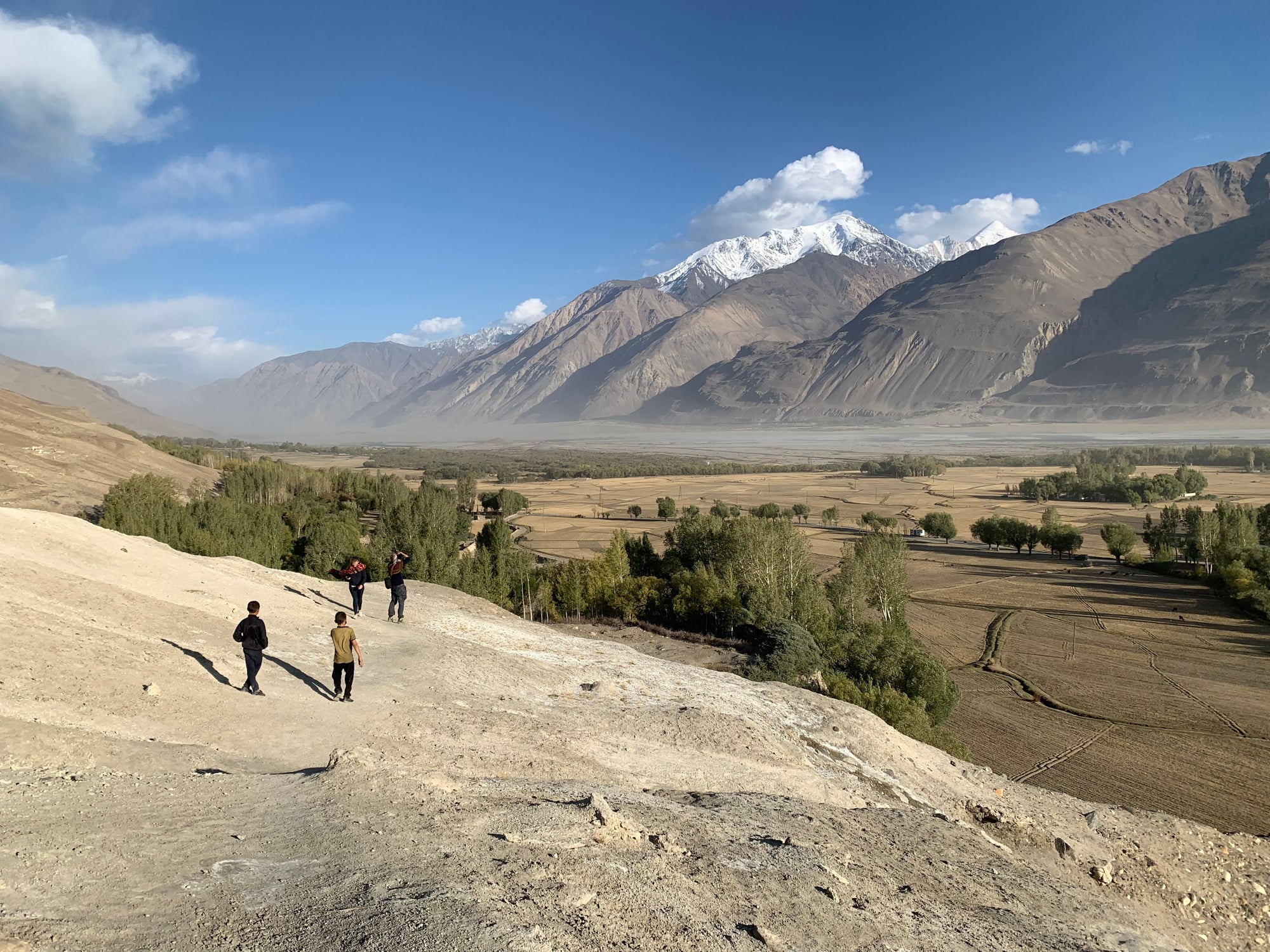
Further ahead was a village called Vrang, where local children guided us to the site of a Buddhist stupa on top of a hill overlooking the valley.
Our final stop of the day was the site of a mineral water fountain. Literally,
mineral water (just look at the discoloration of the rock!). Needless to say, one sip was more than enough for me. The locals, as demonstrated by our driver below, believe that the highly-concentrated mineral water provides many health benefits.

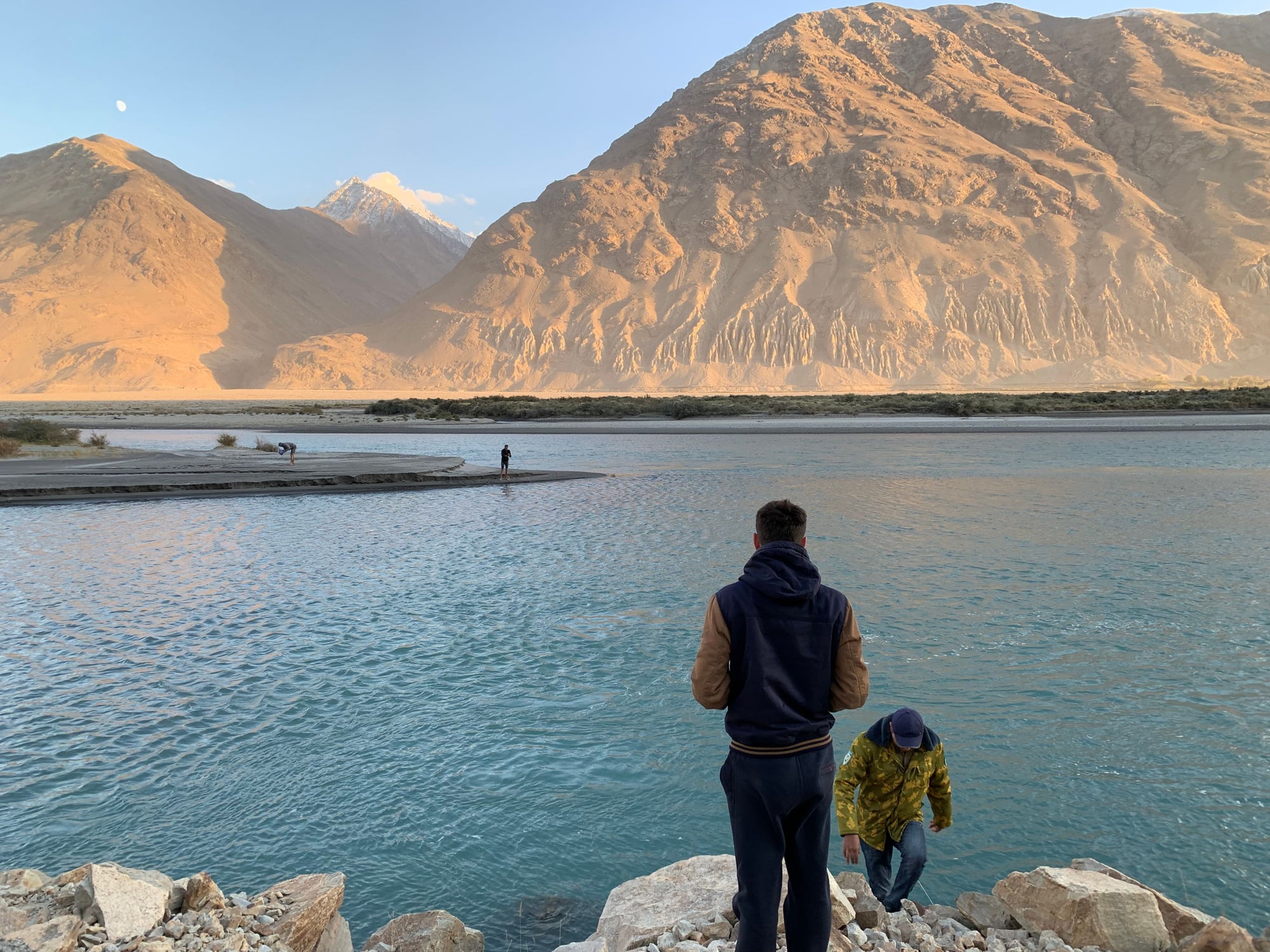
As we pulled into Langar, we saw some men fishing in the freezing river.
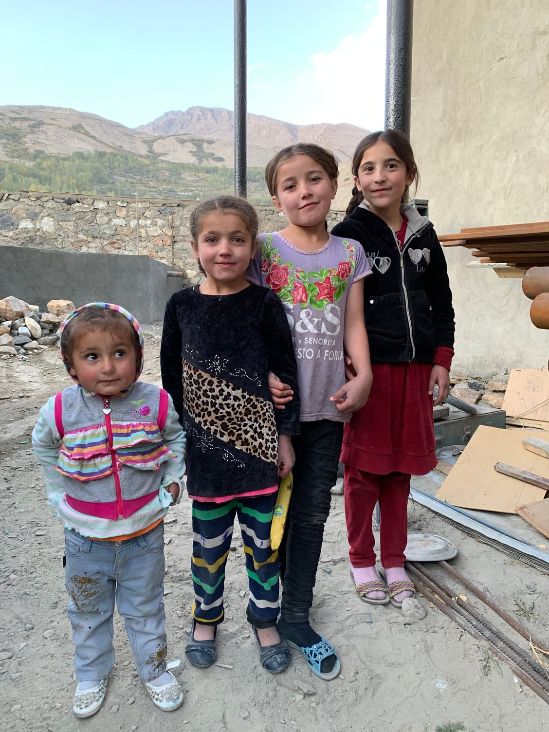
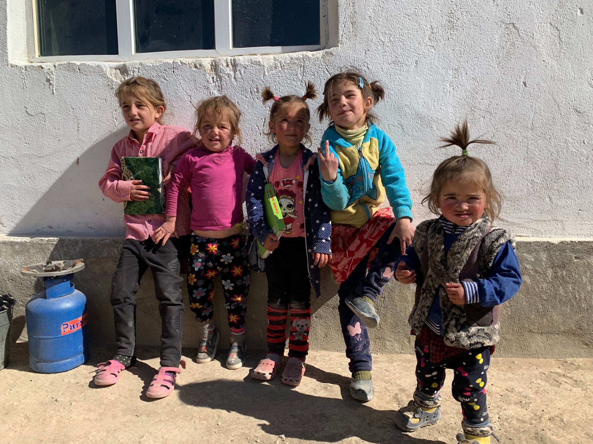
As we pulled into our guesthouse, we were greeted by these four girls.
Our guesthouse for the night ($20 including dinner and breakfast). This guesthouse included a hot shower!
 10 October
Day 5: Langar-Bulunkul-Murghab
Today, we bid farewell to the Wakhan and Afghanistan by turning north to rejoin the main portion of the Pamir Highway. As the road turns north, three mountain ranges, the Pamirs, Karakorum, and Hindu Kush, all become visible for a brief moment. Tajikistan, Afghanistan, and Pakistan are constructing a bridge to connect Tajikistan and Pakistan at Afghanistan's narrowest part (just 20km apart). The locals have high hopes that this will bring about positive change in a region so isolated from the rest of the country and each country's respective capitals.
After rejoining the main highway, we took a detour to Bulunkul, a large freshwater lake in a protected area at an elevation of 3,700 meters (12,100 ft). A yurt marked the entrance to the protected area, staffed by a local schoolteacher from the nearby Bulunkul village.
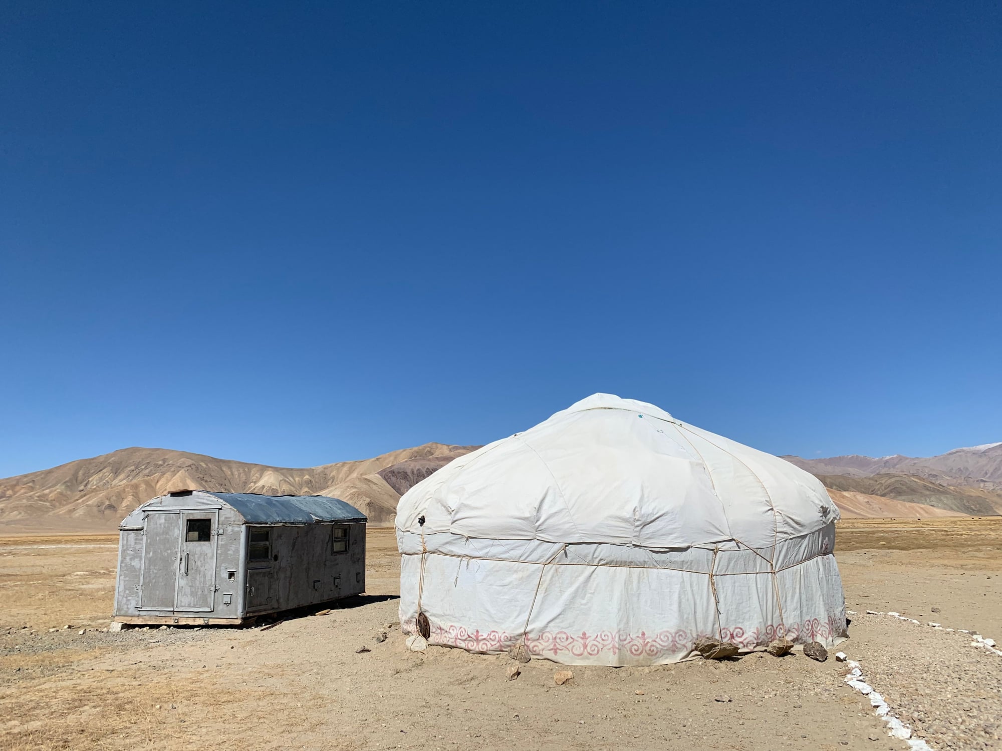
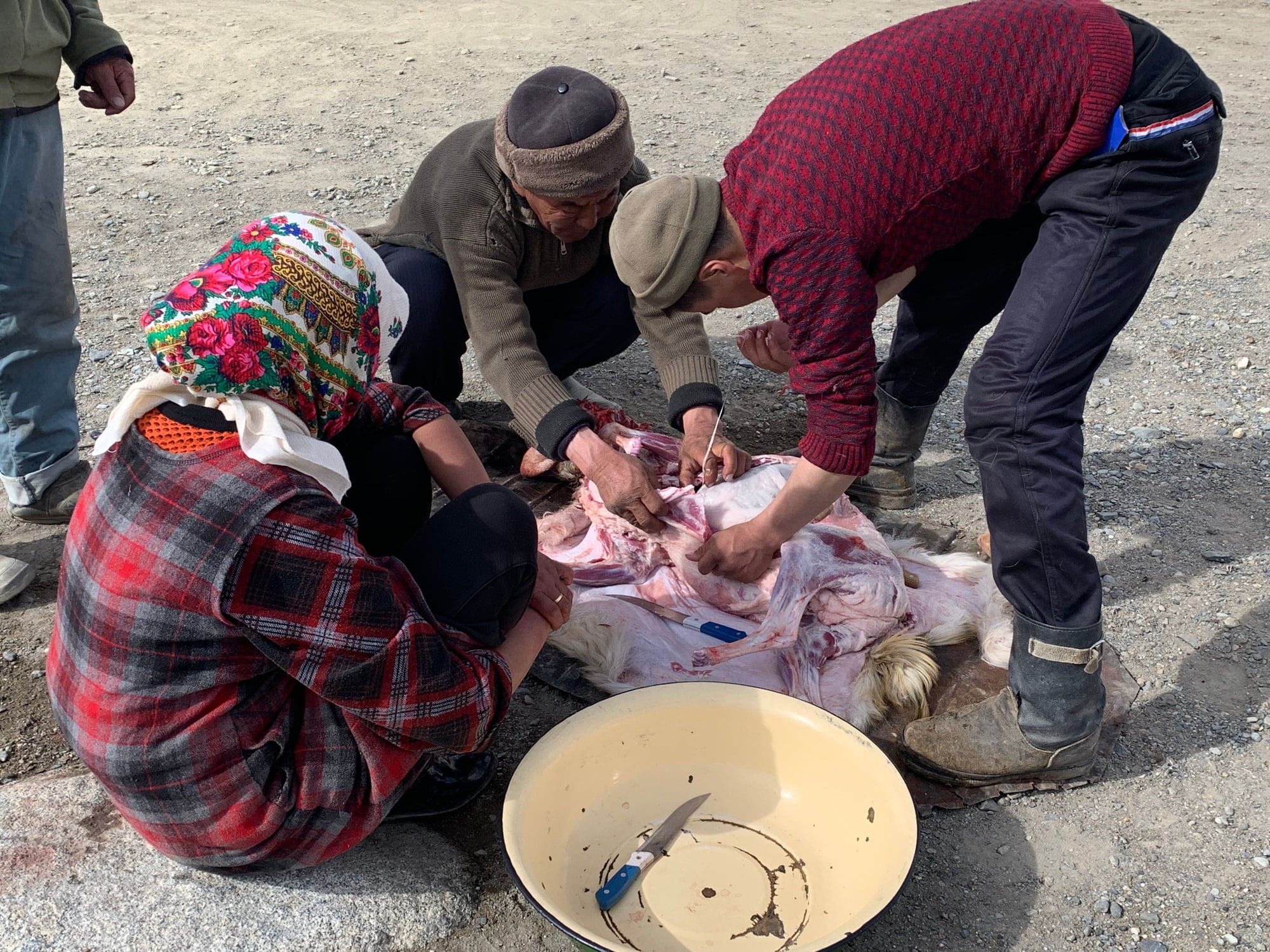
Lunch was freshwater fish from the lake, prepared in another yurt in the village.
As we played with local children while waiting for our lunch to be prepared, a convoy of four unmarked jeeps filled with PLA soldiers from China pulled into the village. A few men hopped out and made it very clear that photos were not allowed, and after a few words with the locals, drove off in the direction of the lake. It was a strange encounter that left everyone a little puzzled, though our driver said that the Chinese had an interest in the area and coordinated visits from both sides under the guise of reciprocal military visits.
After Bulunkul, we made our way back to the main highway to continue onwards to Murghab.
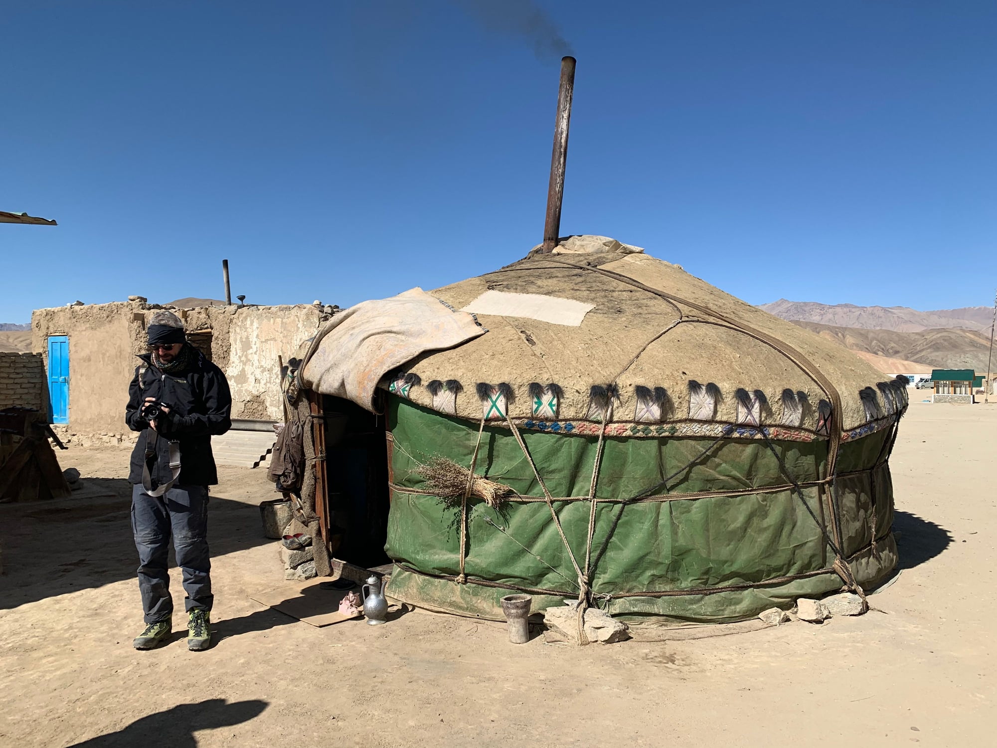
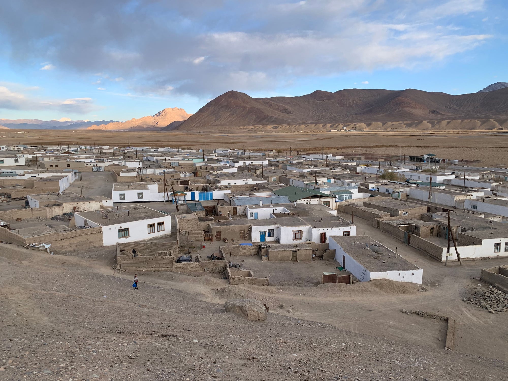
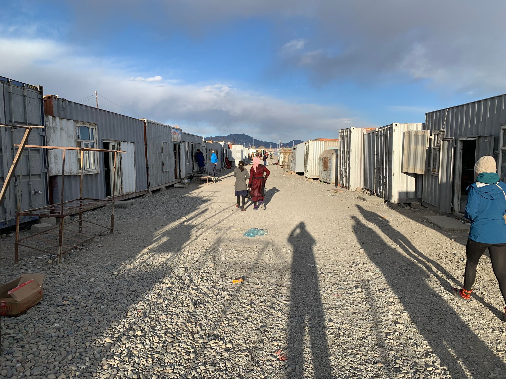
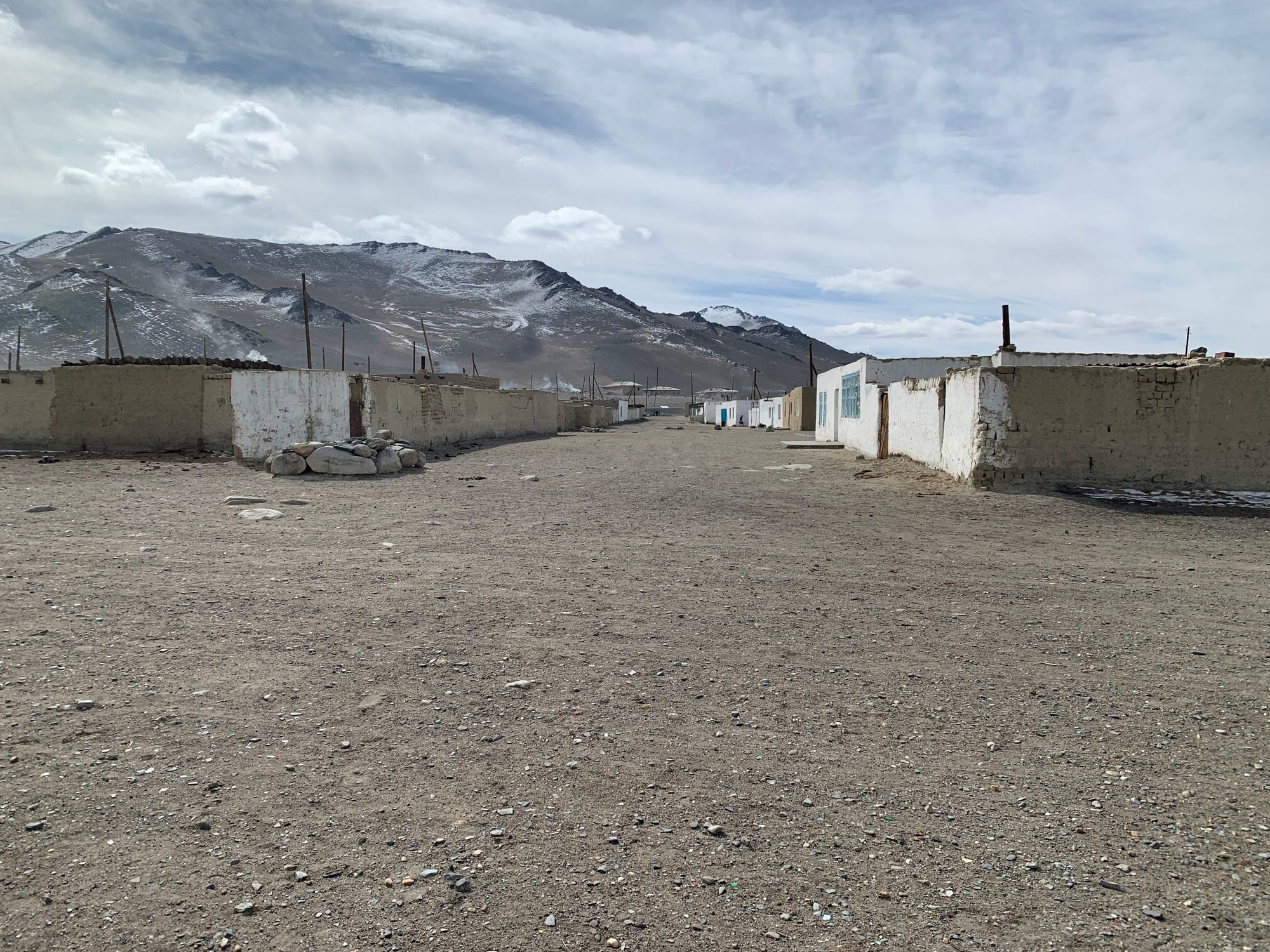
The town of Murghab.
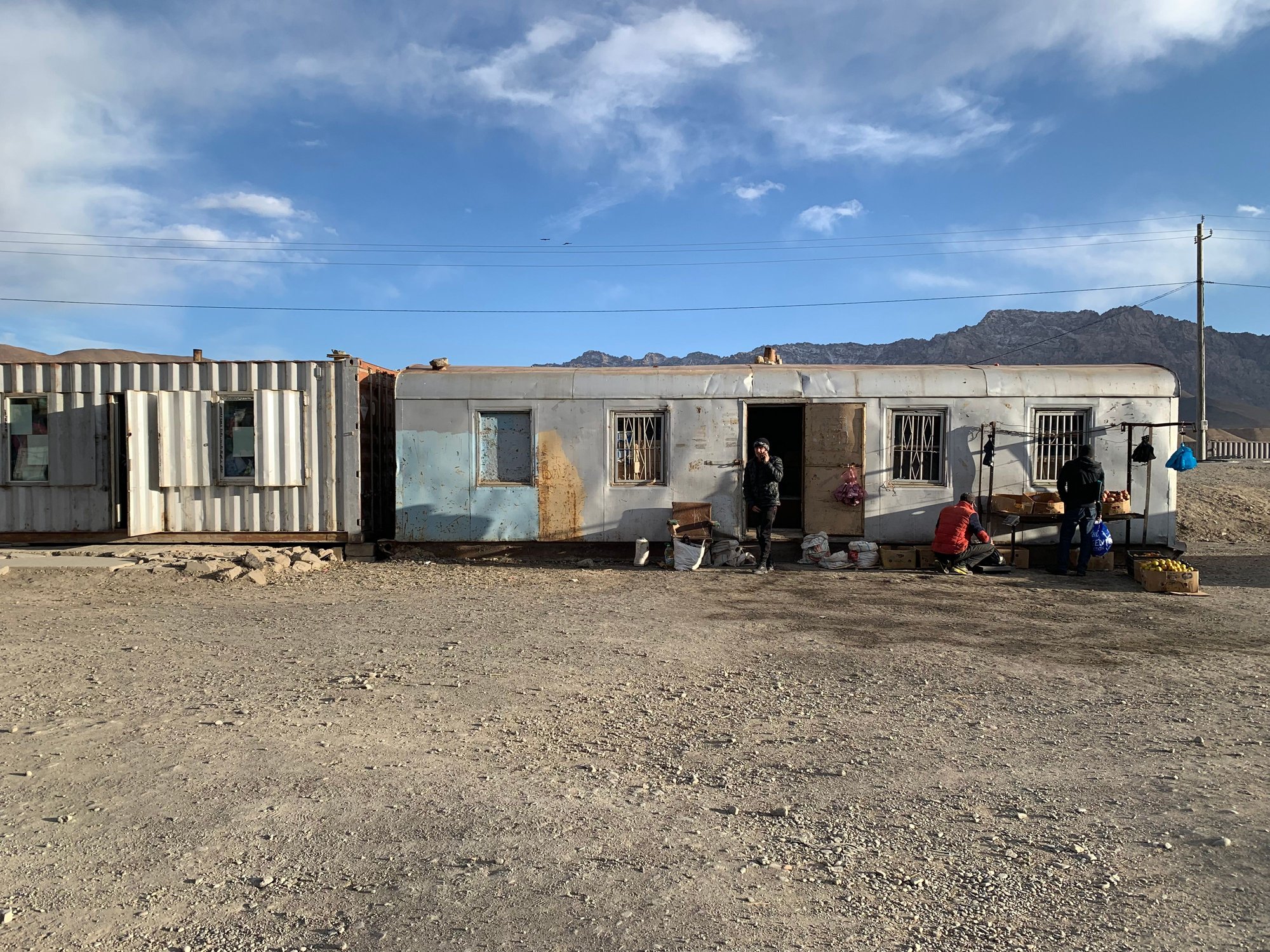
On our way to our homestay, we stopped by the town's main attraction -- the container market.
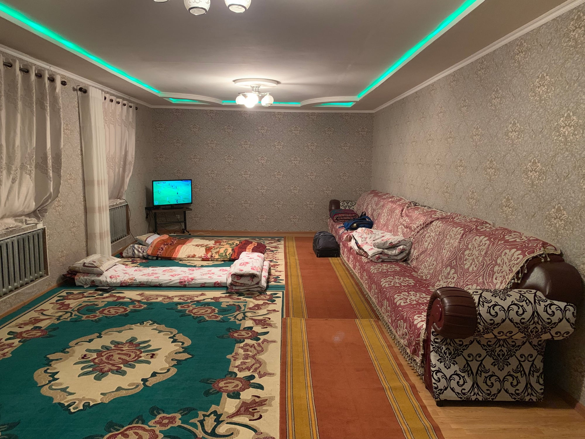
Our homestay for the night ($18 including dinner and breakfast) had incredible views of the sunset.
We had a surprisingly well-appointed room with plenty of extra blankets and, for the first time, heat. (Also, notice the length of the couch!)
 11 October
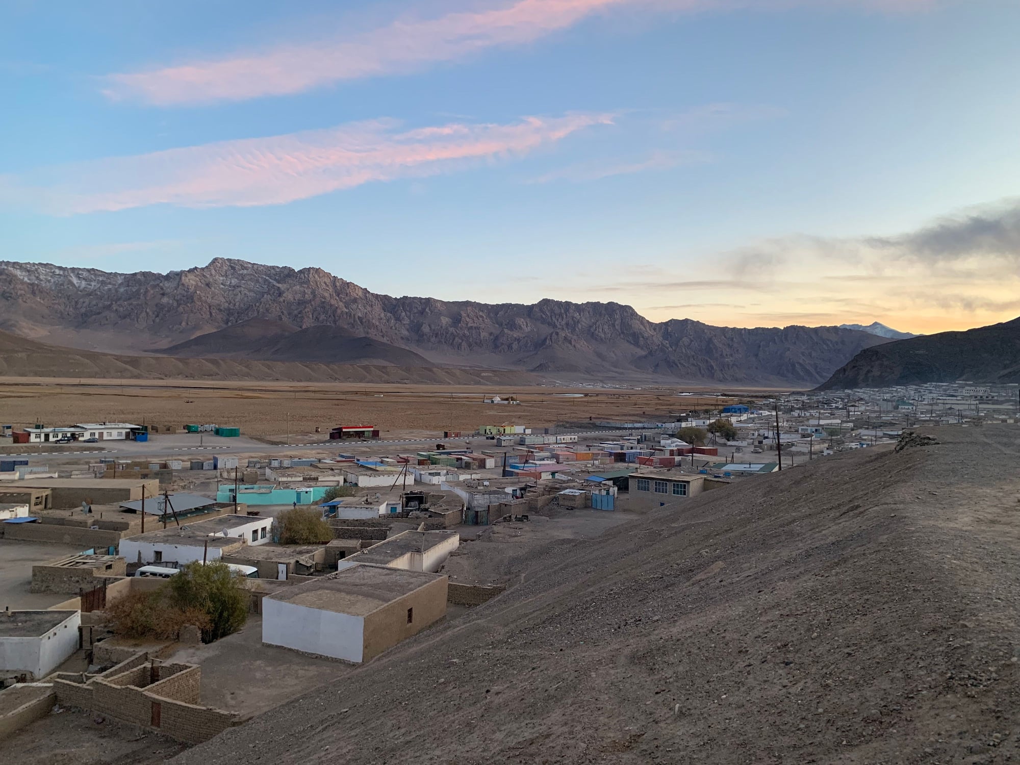
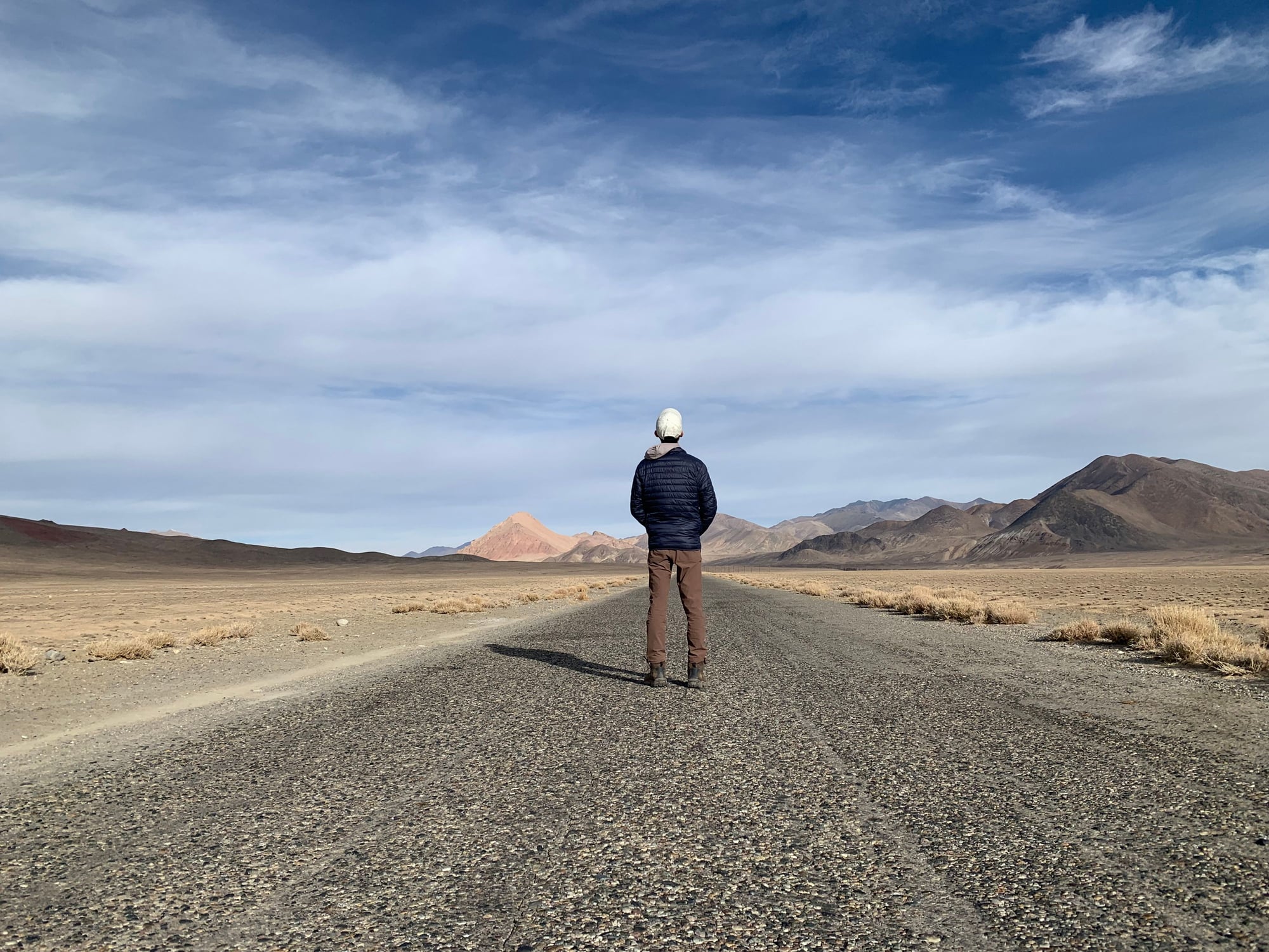
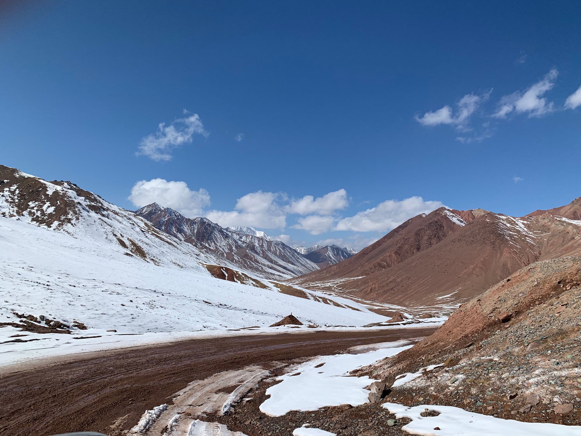
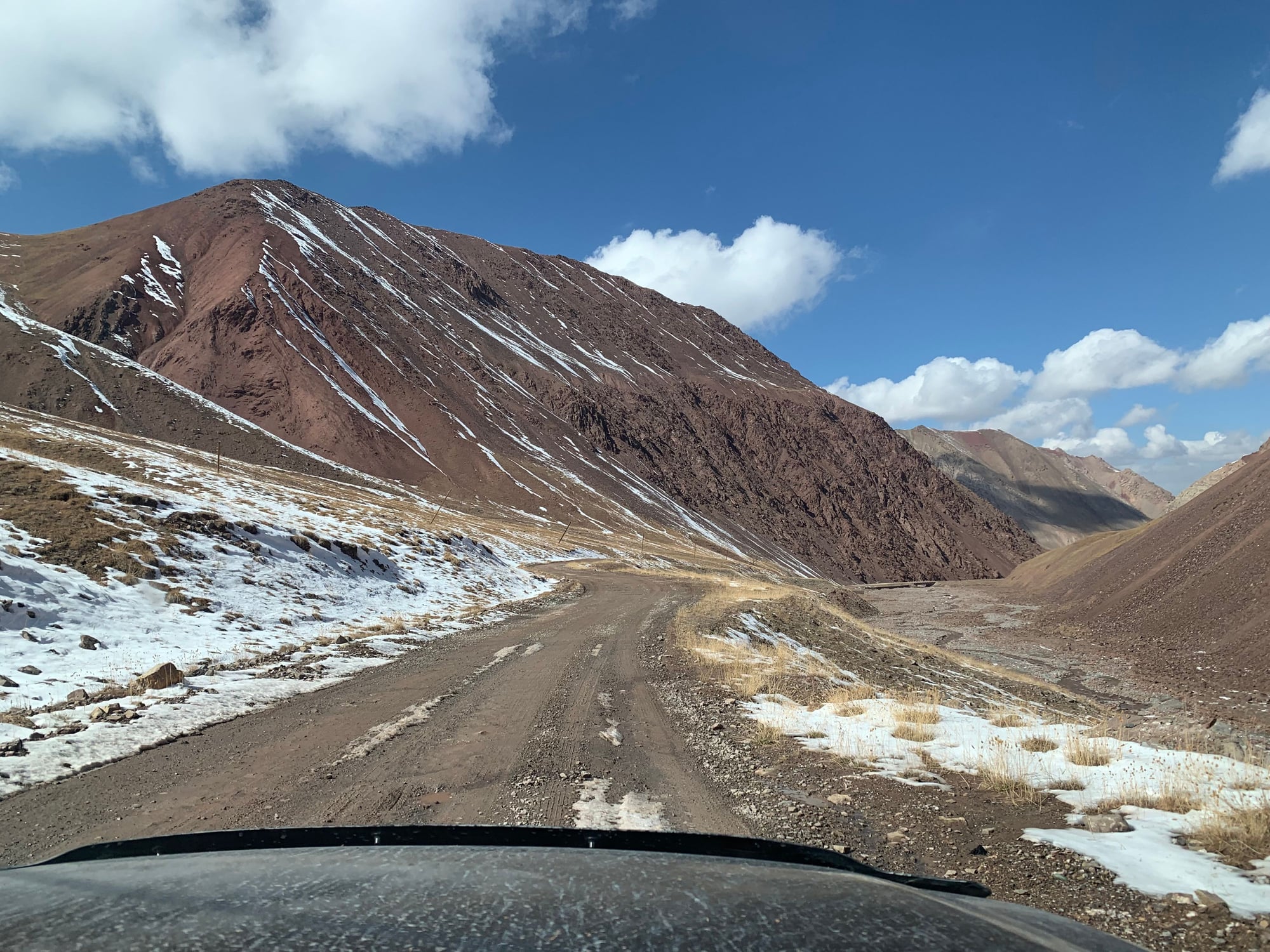
Day 6: Murghab-Ak Baital Pass-Karakul-Sary Mogul (Kyrgyzstan)
Setting off from Murghab, we continued north to the highest point on the Pamir Highway, the Ak-Baital Pass.
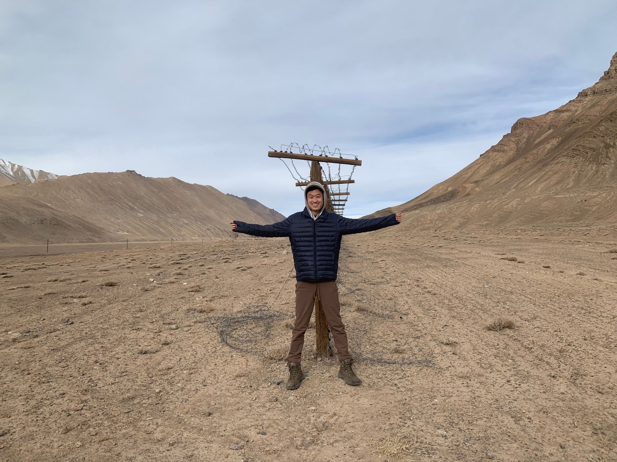
This stretch of the highway brought us close to the Chinese border. Although the border fence is situated some 20-30 km in Tajikistan, numerous breaks in the border fence make potential crossings easy.
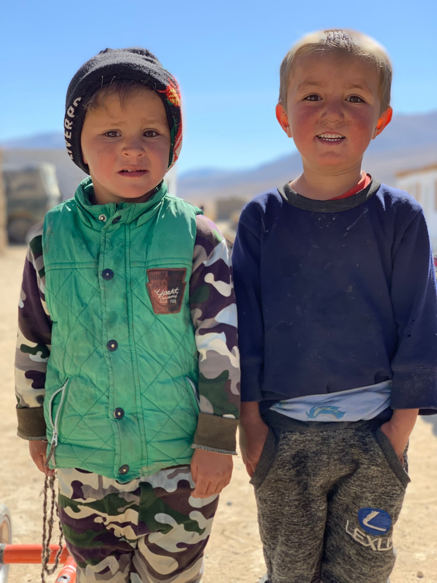
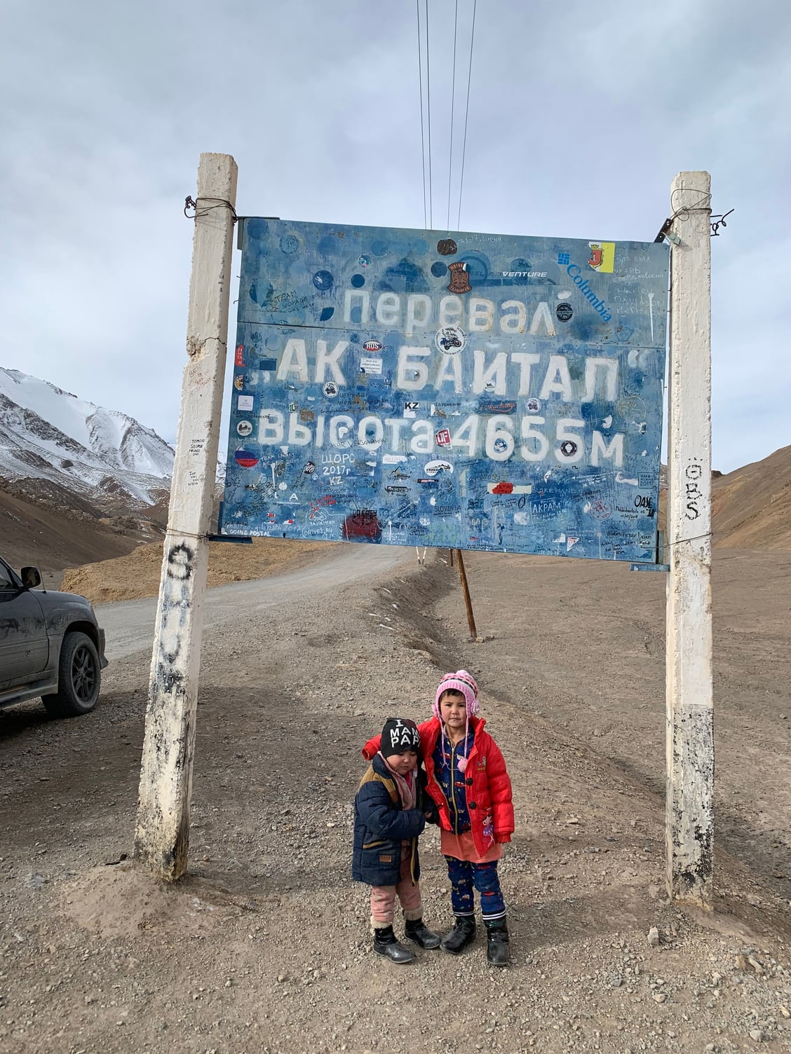
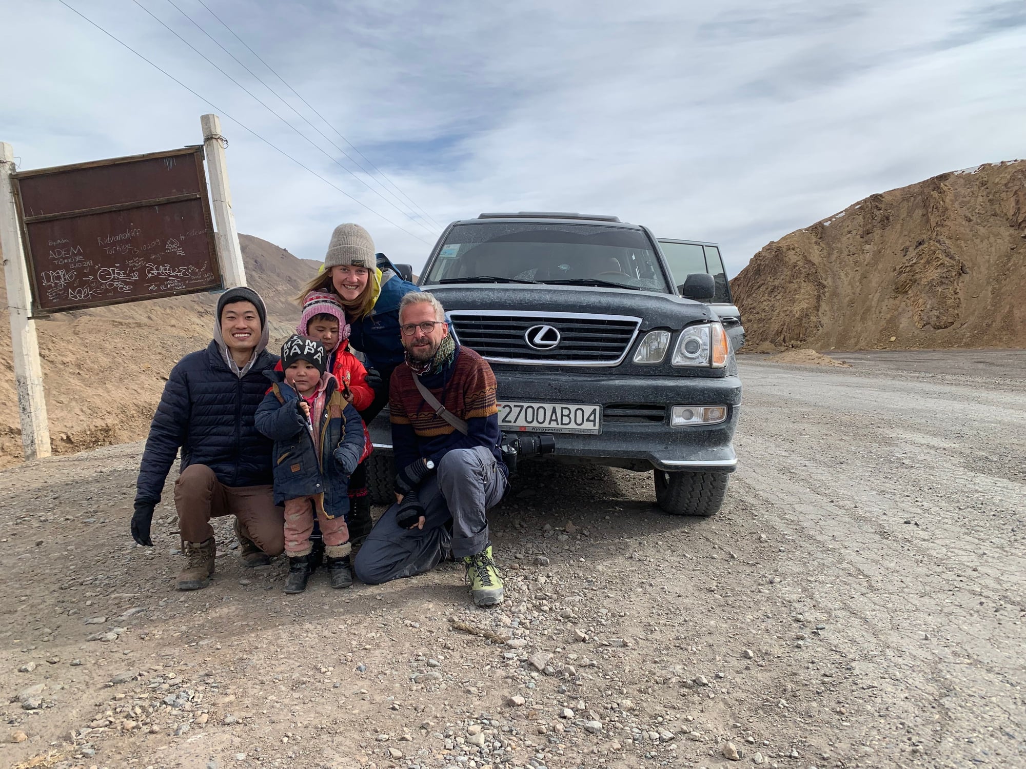
Before we knew it, we reached the start of the pass with this sign: Ak-Baital Pass, elevation 4,655 meters (15,272 ft). The Pamir Highway is generally recognized the second highest highway in the world (after the Karakorum). Two local children playing by the sign joined us for the celebratory shot.
The roof of the world.
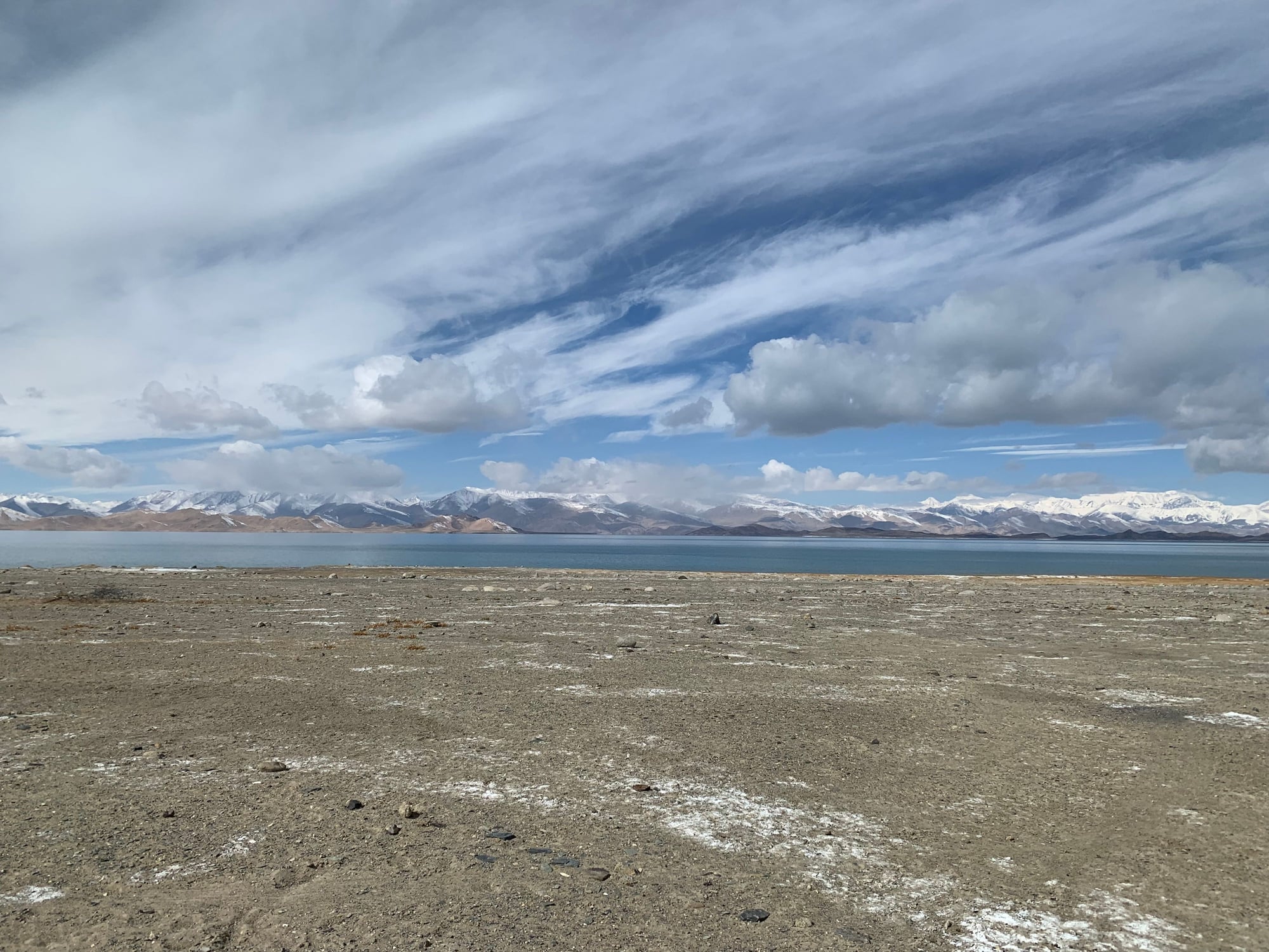
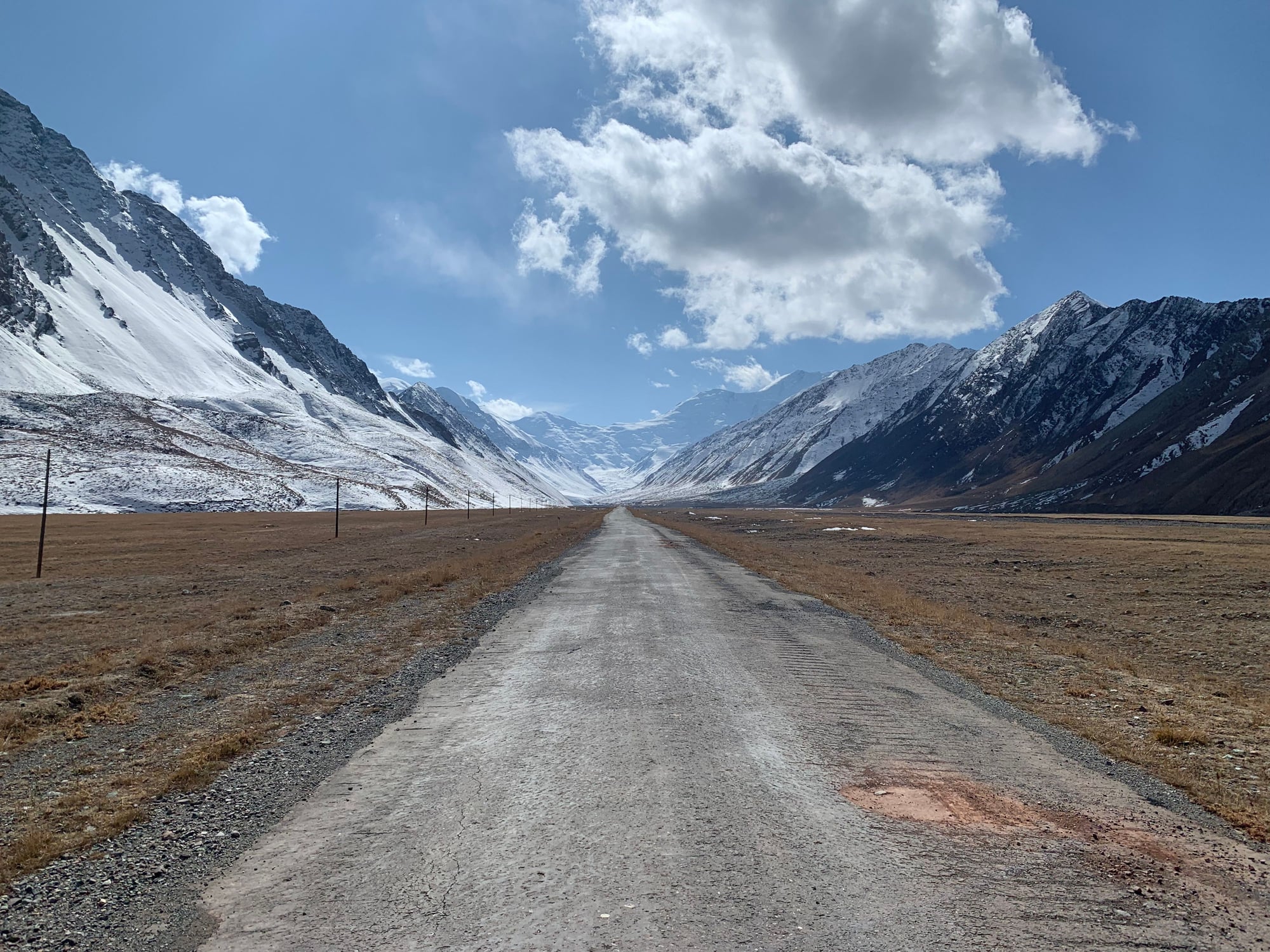
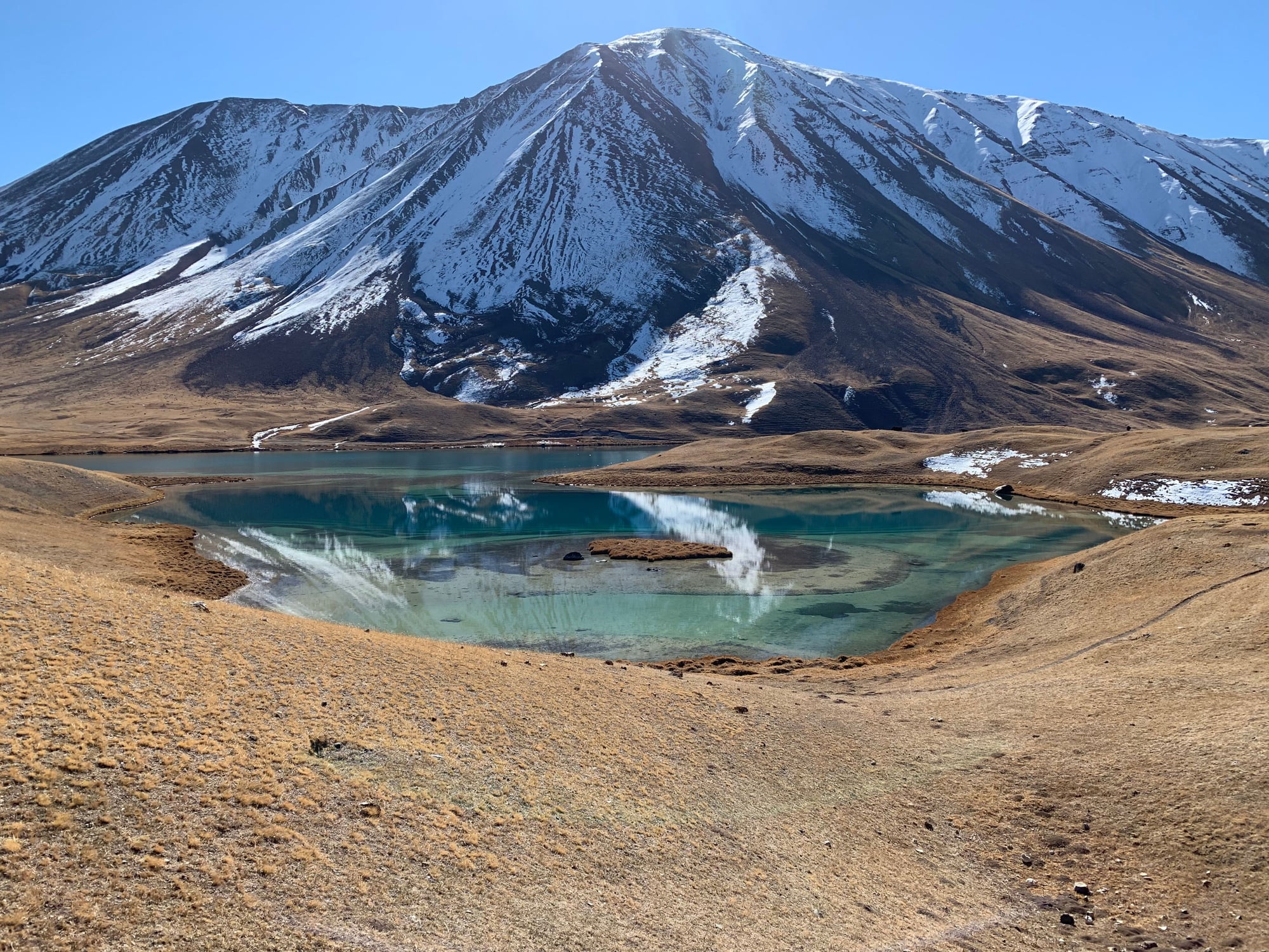
With temperatures well below freezing and a fierce wind chill, we quickly made our way past the pass into warmer, and more breathable, air. We stopped at Karakul, a large impact crater lake, for a quick visit and tea. Karakul, at an elevation of 3,900 meters (12,795 ft) is one of the world's highest lakes. It is notably higher than Lake Titicaca in Bolivia/Peru.
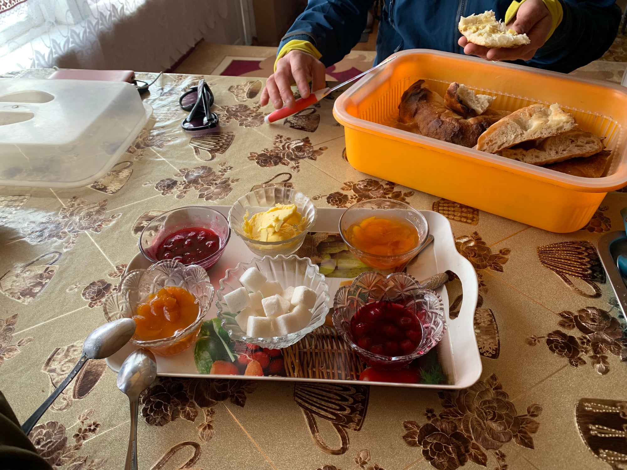
Tea with a standard array of condiments in Karakul village.

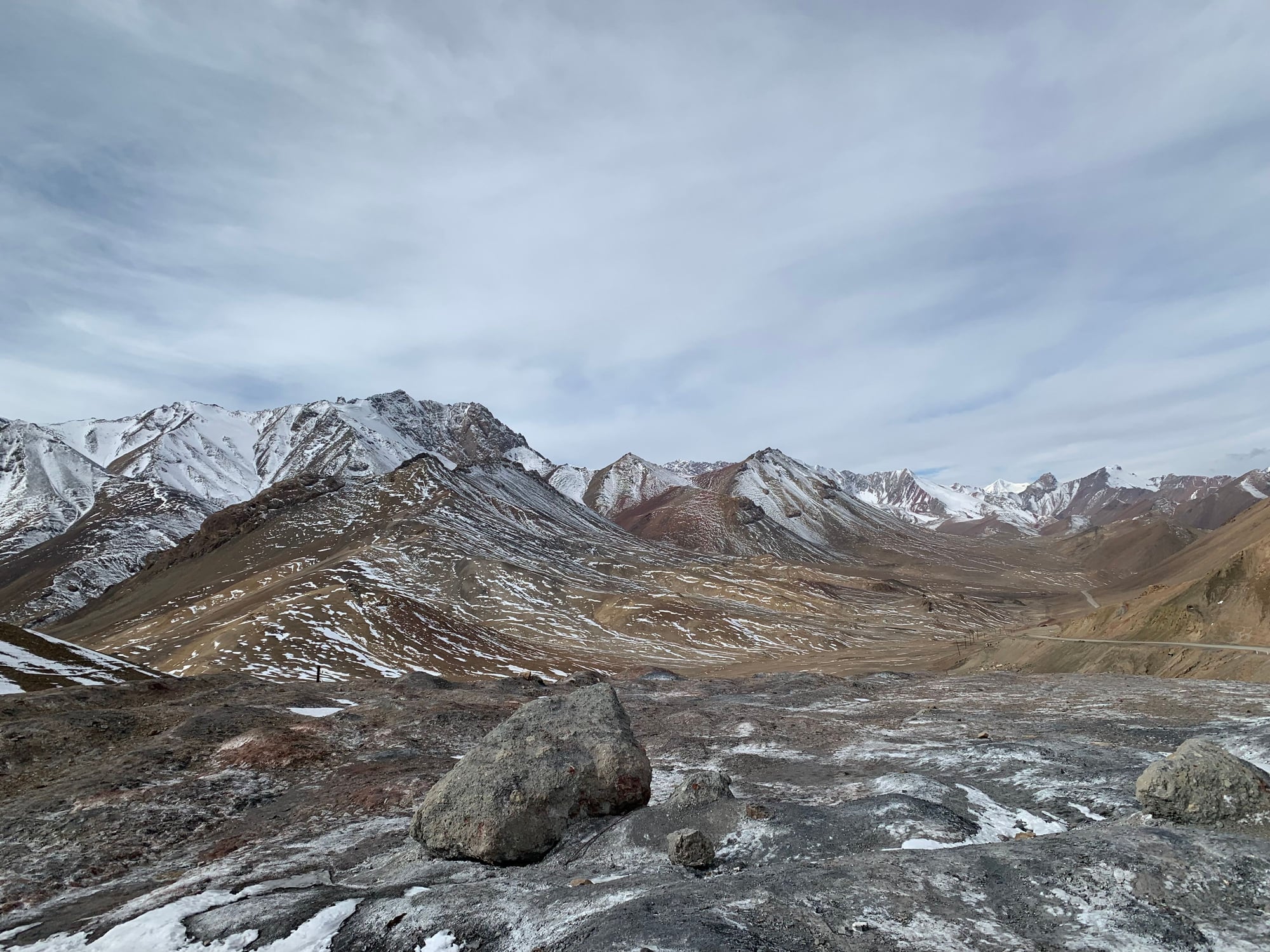
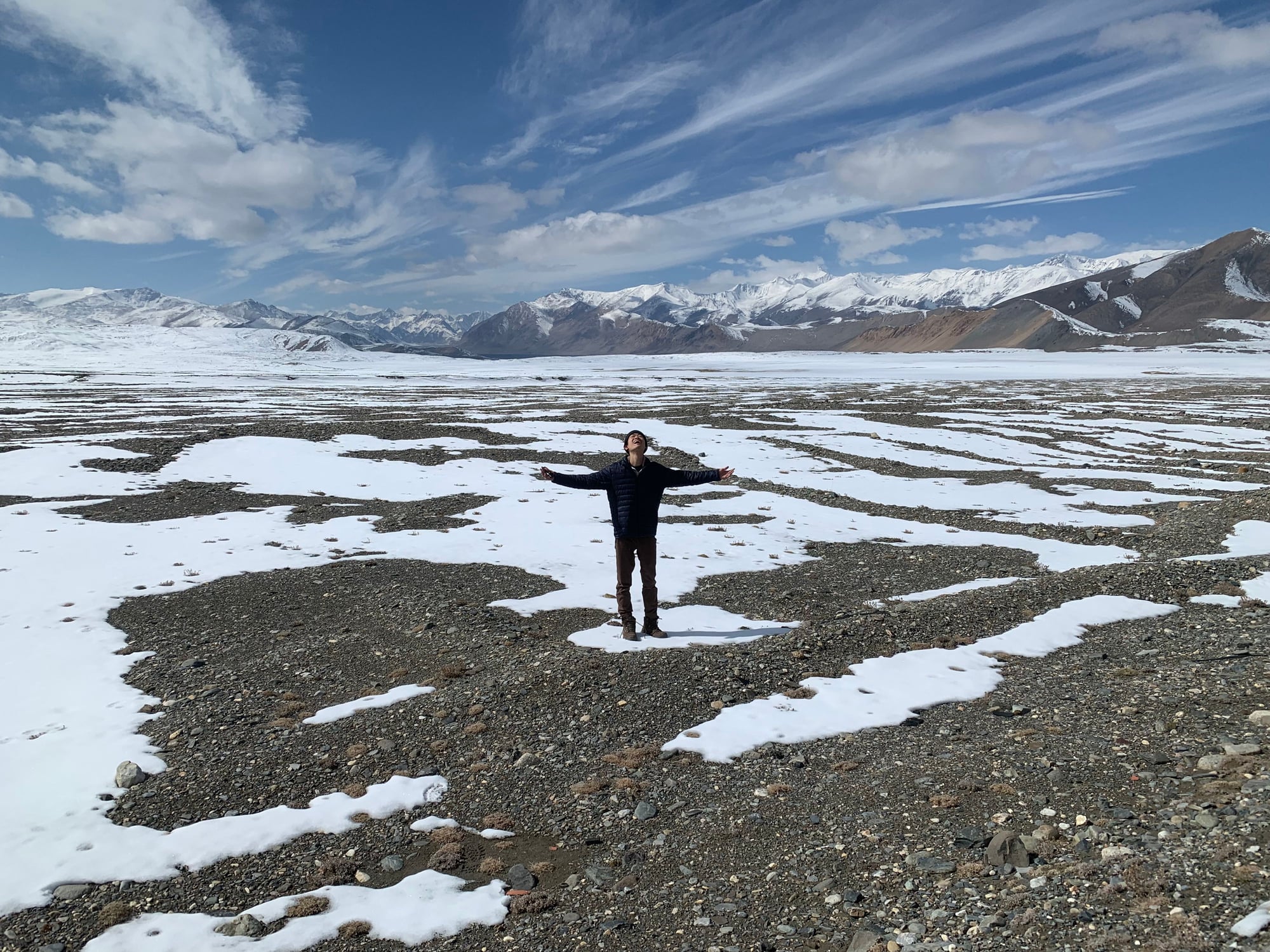
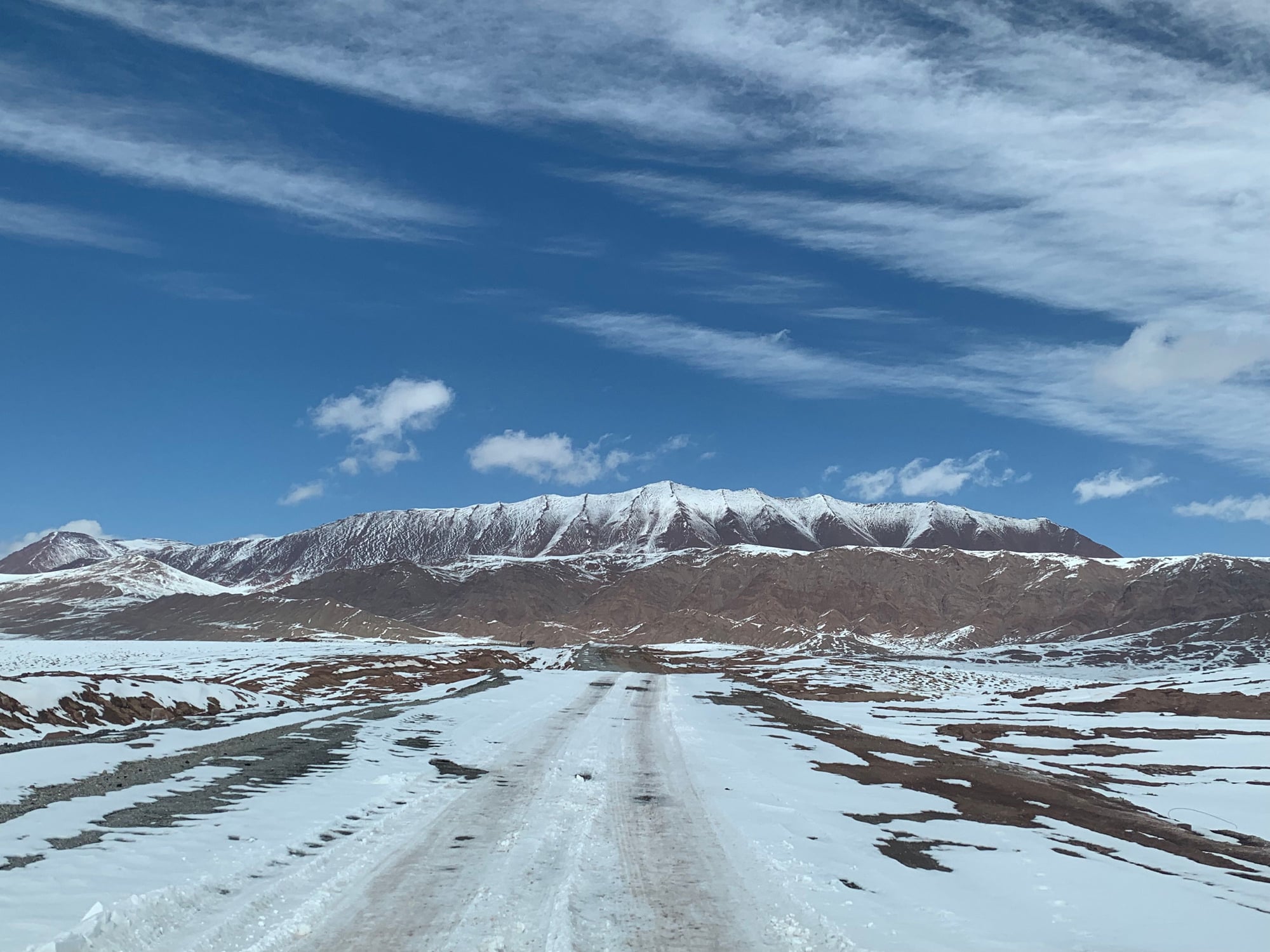
As we continued north, snow became more and more apparent with the occasional dusting of snowflakes as we passed between the mountains.
Fortunately, the skies remained clear and freshly fallen snow, likely among the first of the season, made getting out of our car to take pictures in sub-zero temperatures a worthwhile endeavor.
Before we knew it, we hit the Tajik-Kyrgyz border at an elevation of over 4,000 meters. The truckers who regularly make the border crossing through unpaved roads, snow, ice, and 12+ degree inclines are seriously skilled.
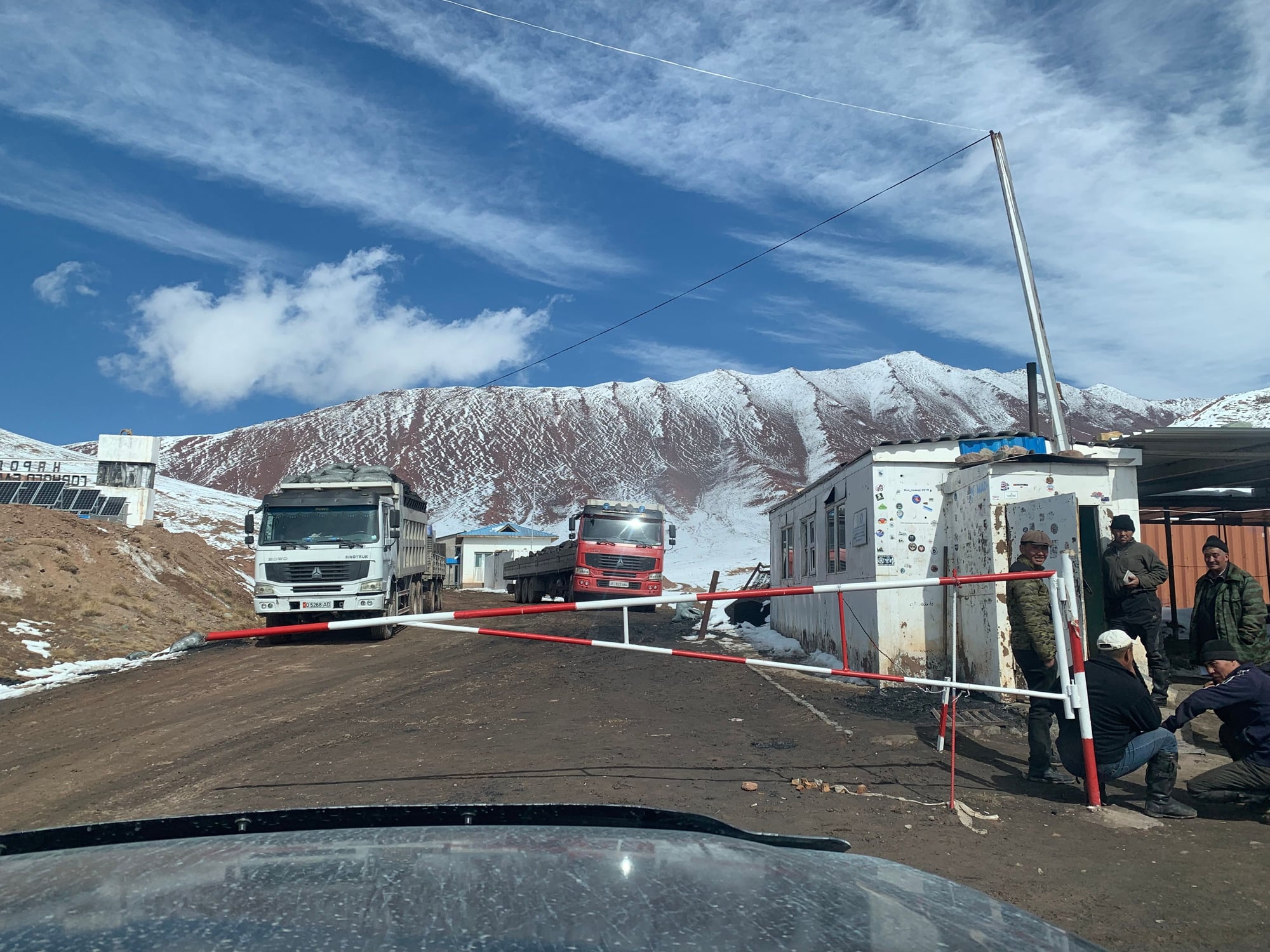
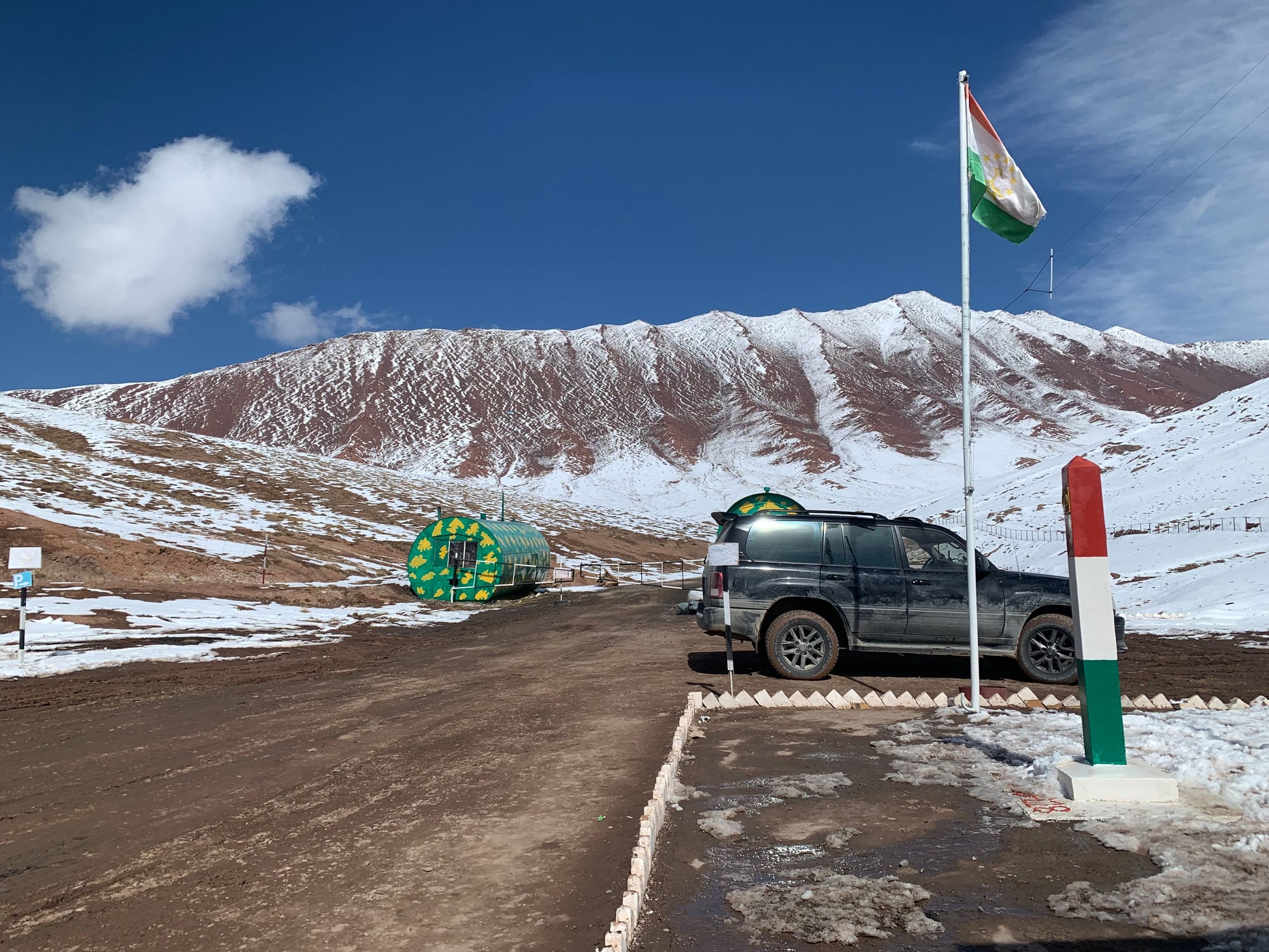
No man's land between Tajikistan and Kyrgyzstan
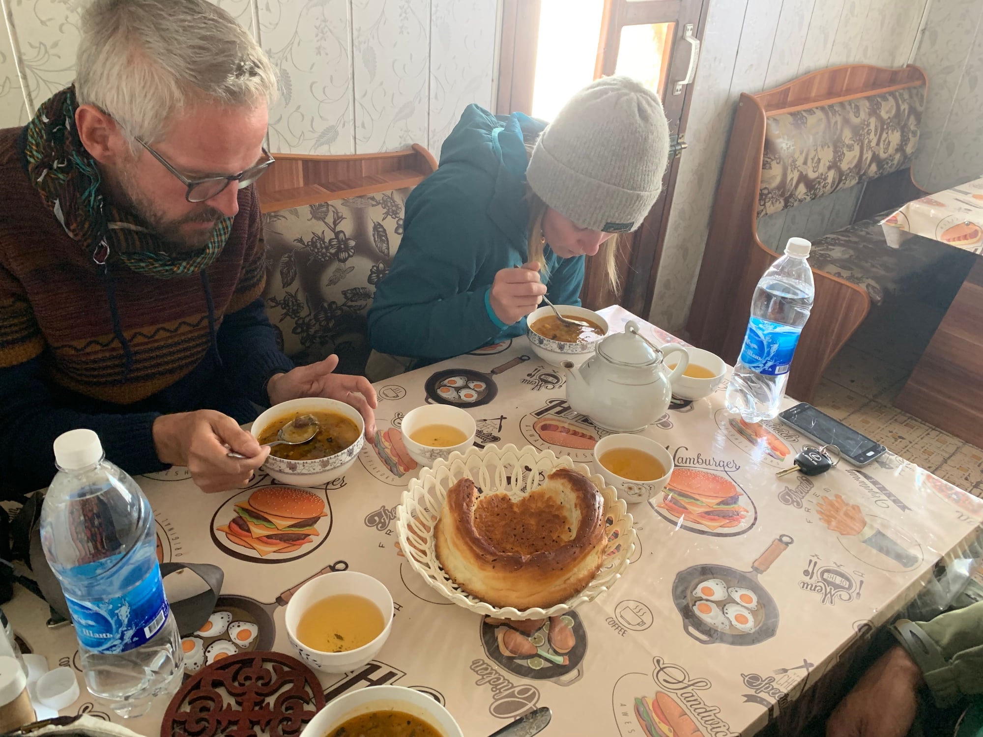
After what seemed like an endless 30 kilometers of no-man's land, we finally crossed into Kyrgyzstan. First stop was a late lunch in town consisting of lentil soup, bread, and manti. We didn't have any Kyrgyz som on us, but the restaurant gladly accepted the remainder of our Tajik somoni.
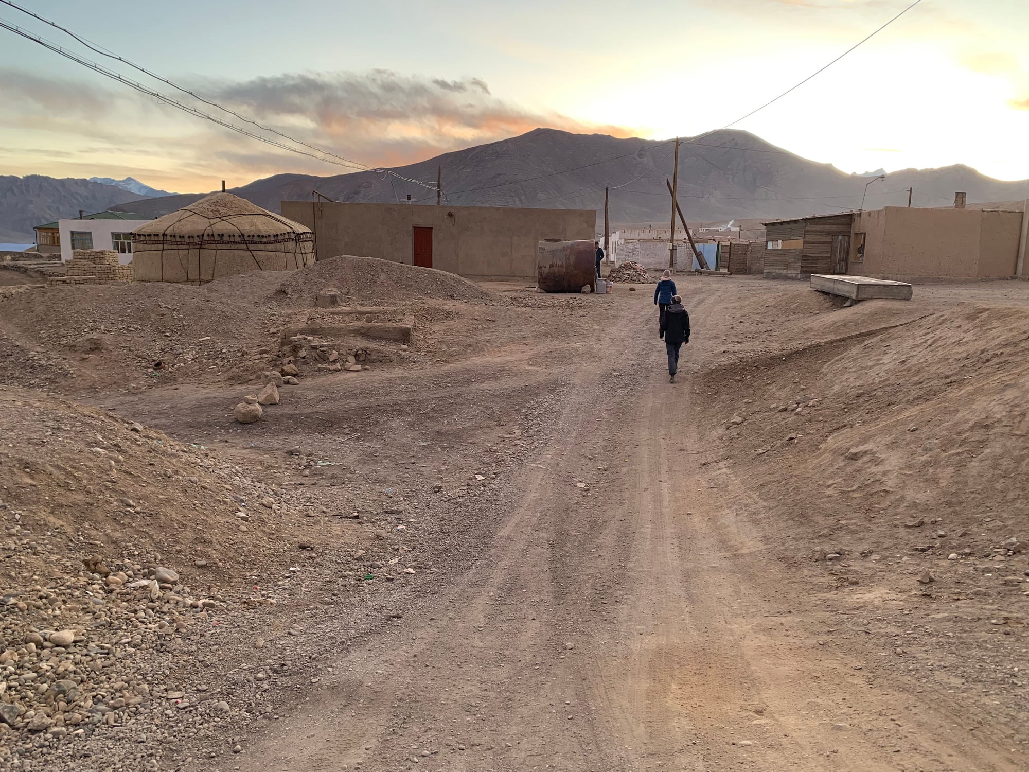
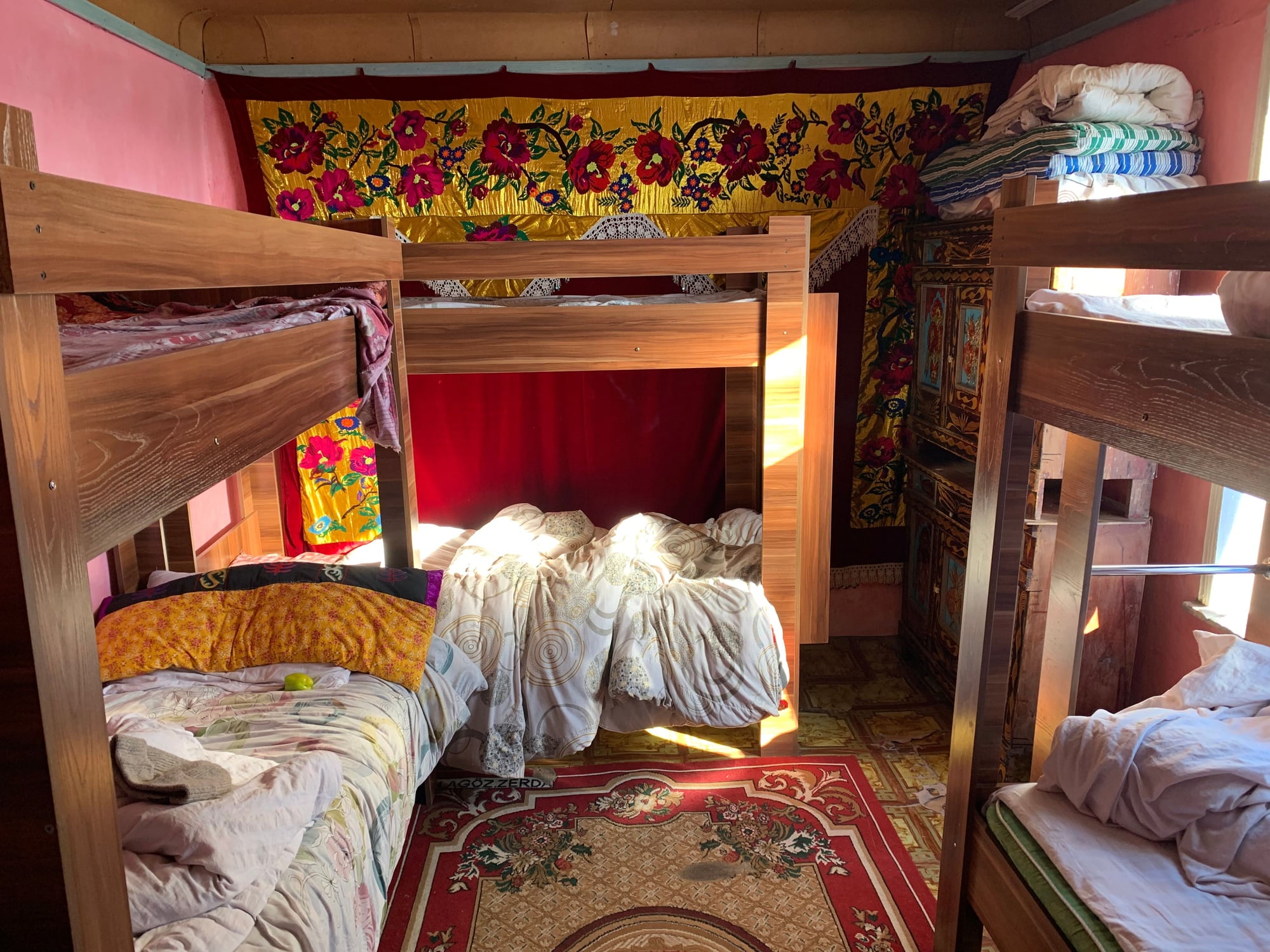
30 minutes later, we arrived at the town of Sary Mogul. Our homestay for the night ($15 including dinner and breakfast) resembled more of a dorm room and included a small portable electric heater for the night. For the first time since leaving Dushanbe, we had WiFi.
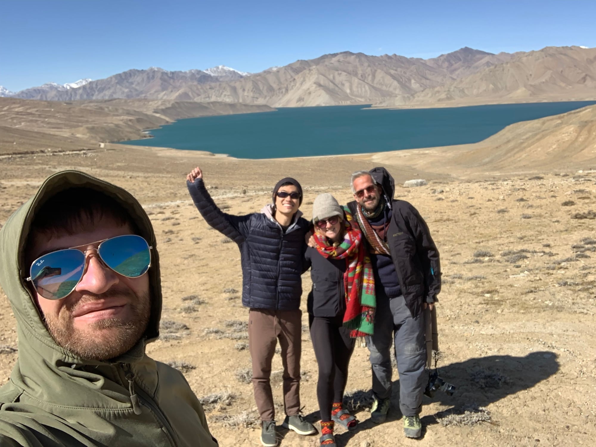
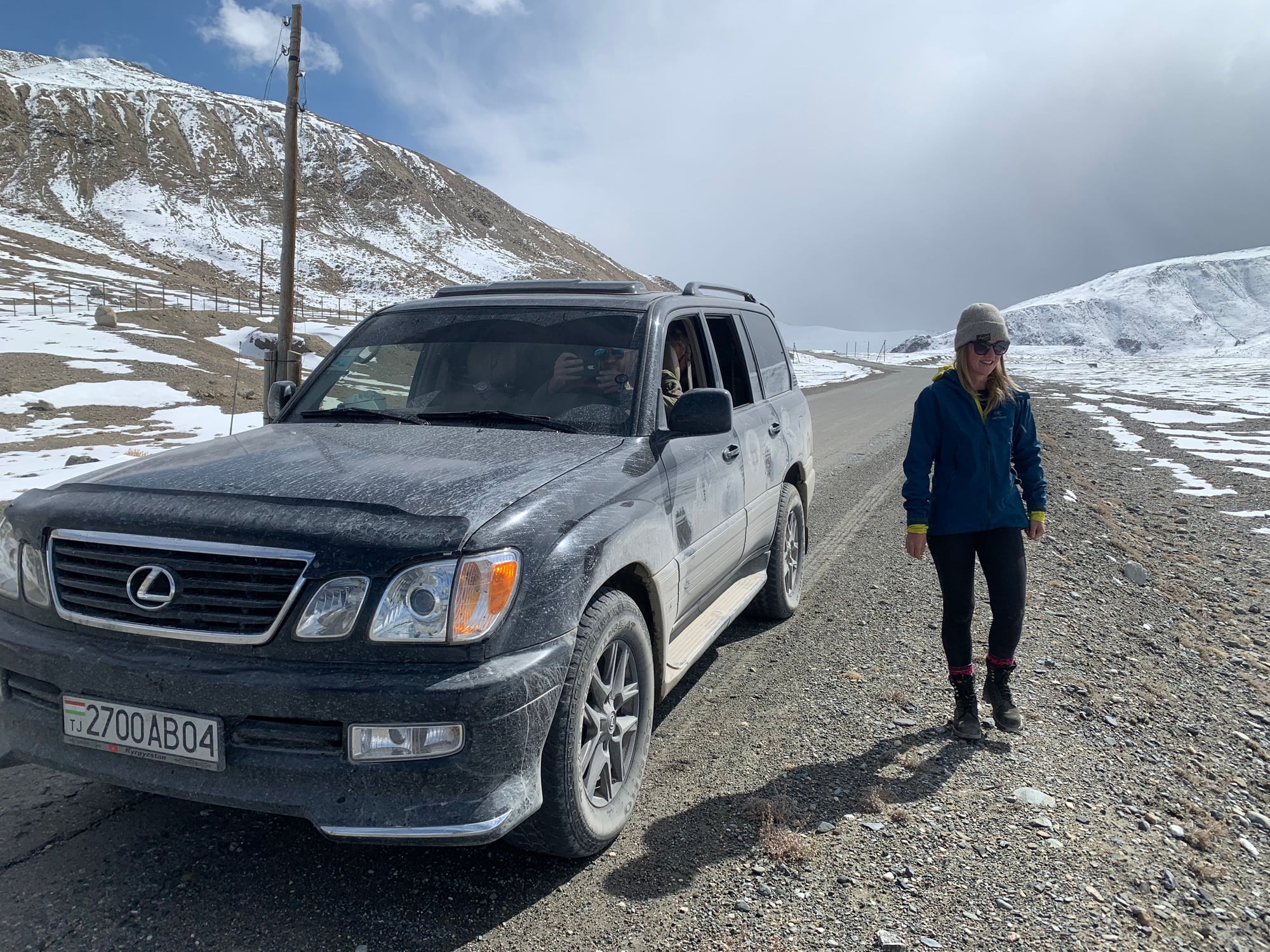
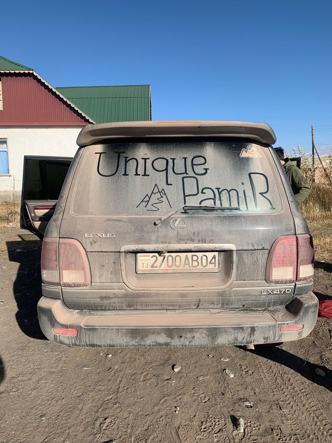
After checking in and walking around the village, we bid adieu to our driver, Tamriz, who returned to Tajikistan the same evening, leaving us with the homestay owner to take us the remainder of the way to Lenin Peak and Osh. After six days, the back of our Lexus had accumulated the thickest layer of dust I had ever encountered on a vehicle not destined for the scrapyard.
 12 October
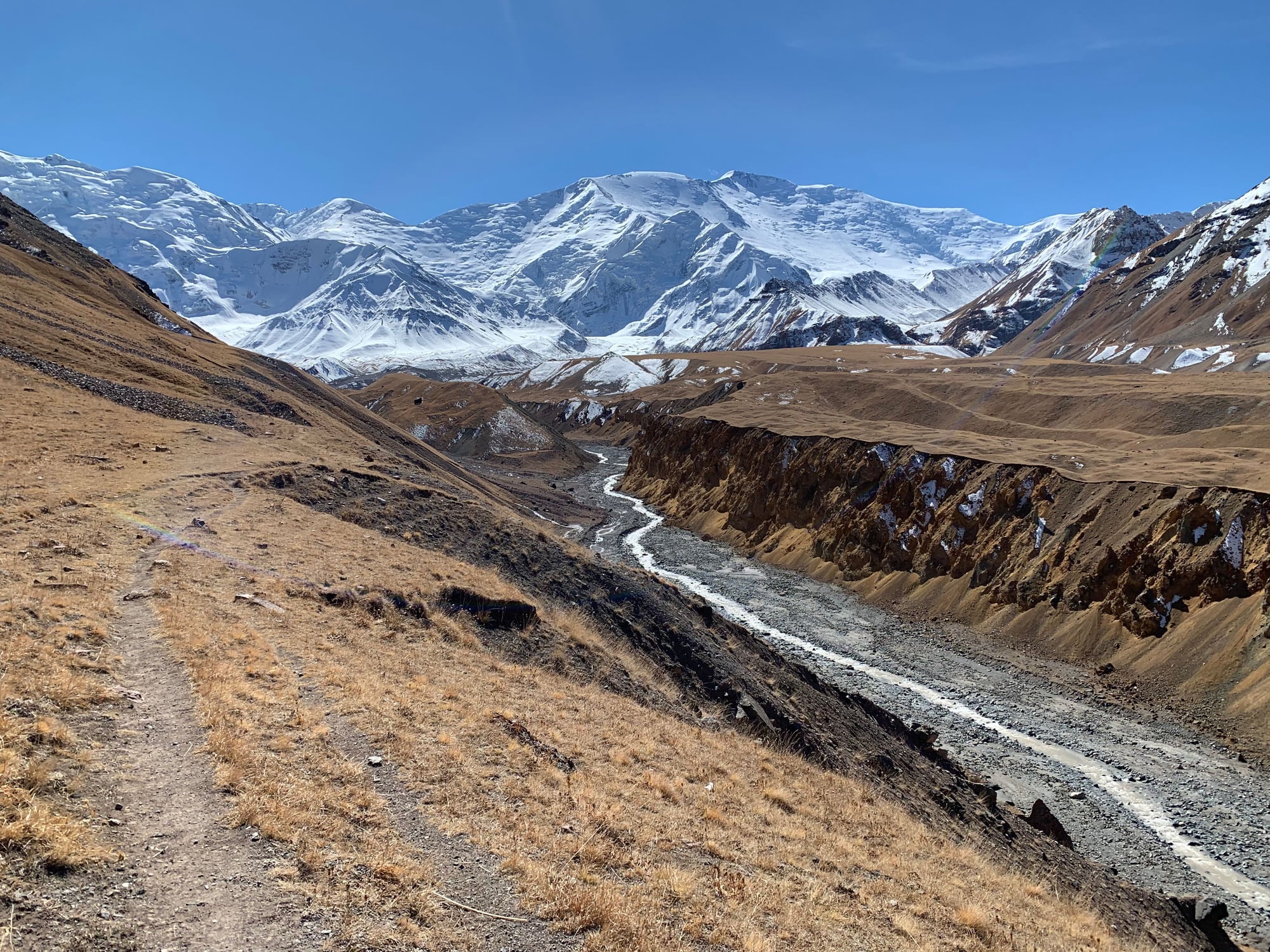
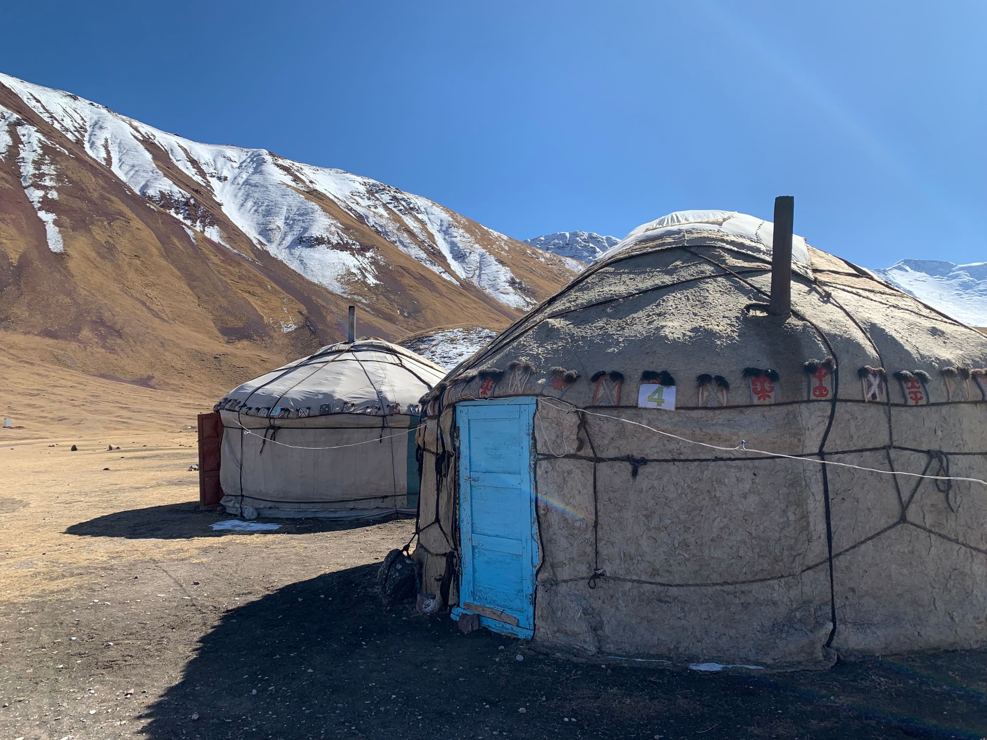
Day 7: Sary Mogul-Lenin Peak-Osh
Our original itinerary called for us to stay one night at a yurt camp at the base of Lenin Peak, a 7,134 m (23,406 ft) mountain on the border of Tajikistan and Kyrgyzstan. However, after hearing reports from other travelers that staying overnight was freezing, uncomfortable, and not recommended, we opted to cut the overnight and turn our trip to Lenin Peak into a day hike instead.
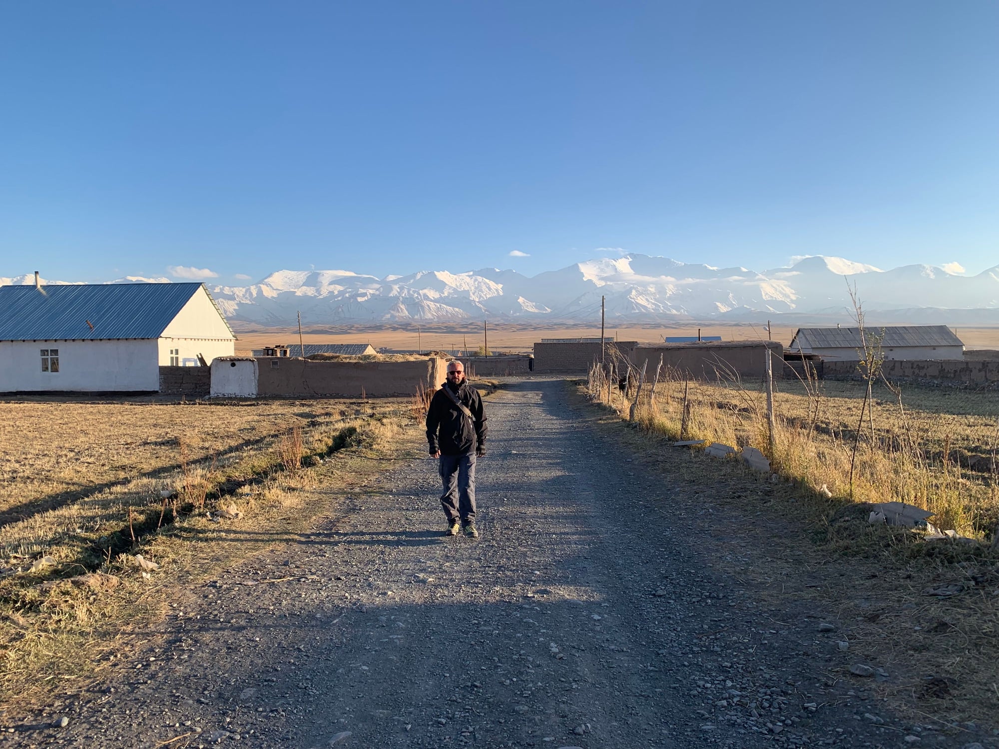
Lenin Peak is the second highest mountain in Tajikistan and the most prominent of the wall of peaks that demarcate the Tajik-Kyrgyz border. From our homestay in Sary Mogul, Lenin Peak was clearly visible in the distance.
The owner of our homestay drove us to the yurt camp of Lenin Peak, which marked the trailhead to the summit of the mountain. Lenin Peak is known as one of the easier seven-thousanders to summit and attracts many mountaineers every summer.
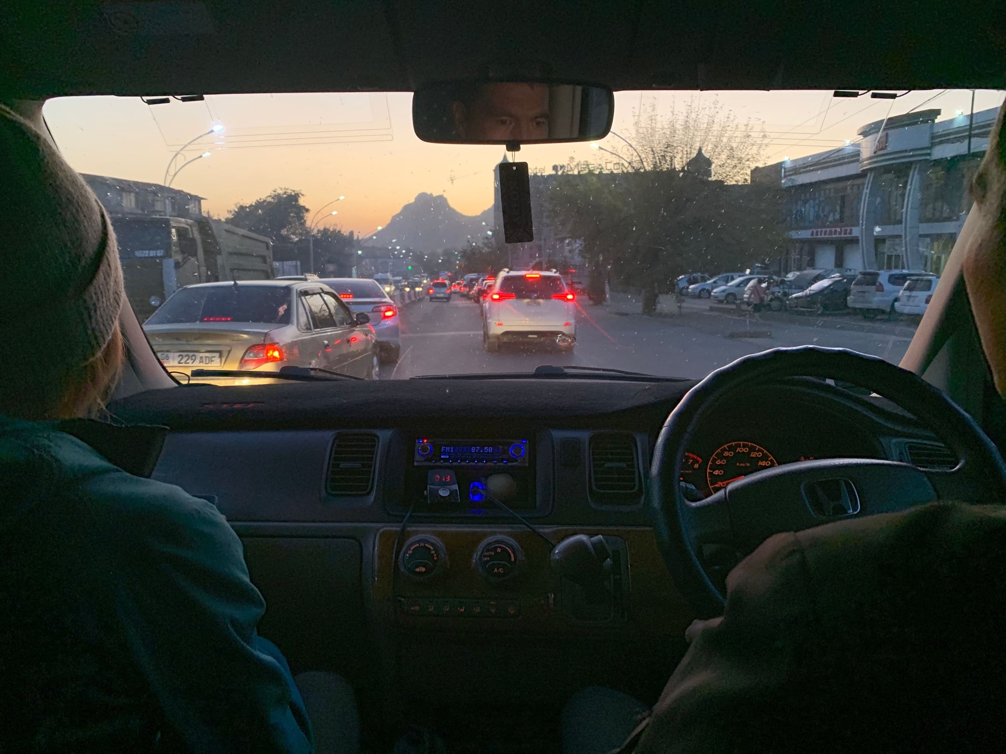
After a leisurely 4-hour hike, with many breaks due to the altitude, we packed our bags and set off for Osh, the second largest city and economic center of southern Kyrgyzstan. Like in Tajikistan, this final section of the Pamir Highway was again stunningly beautiful.
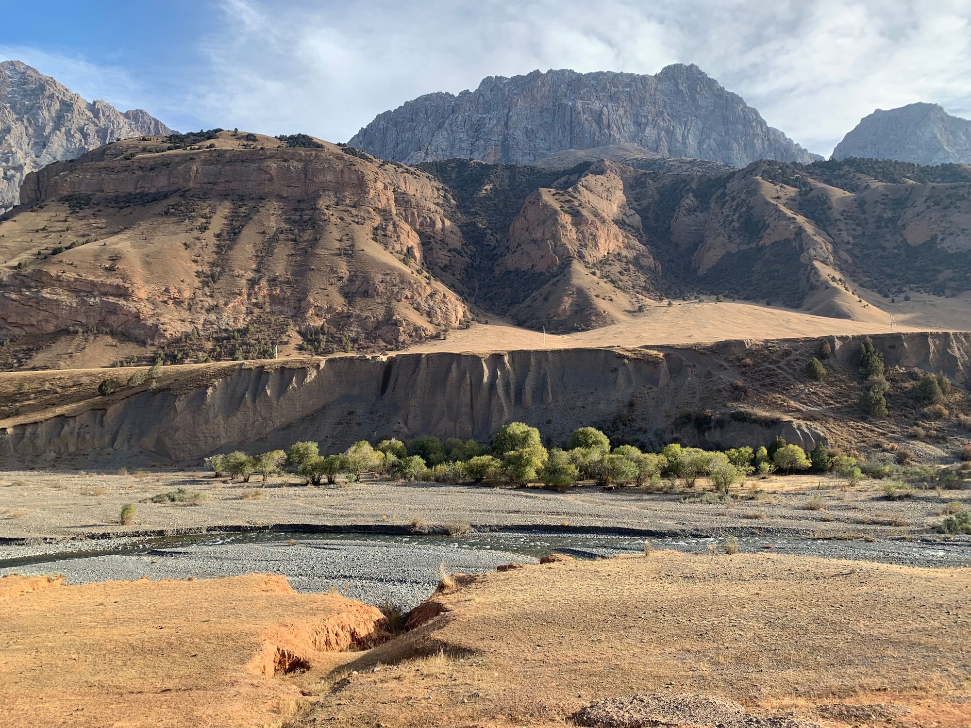
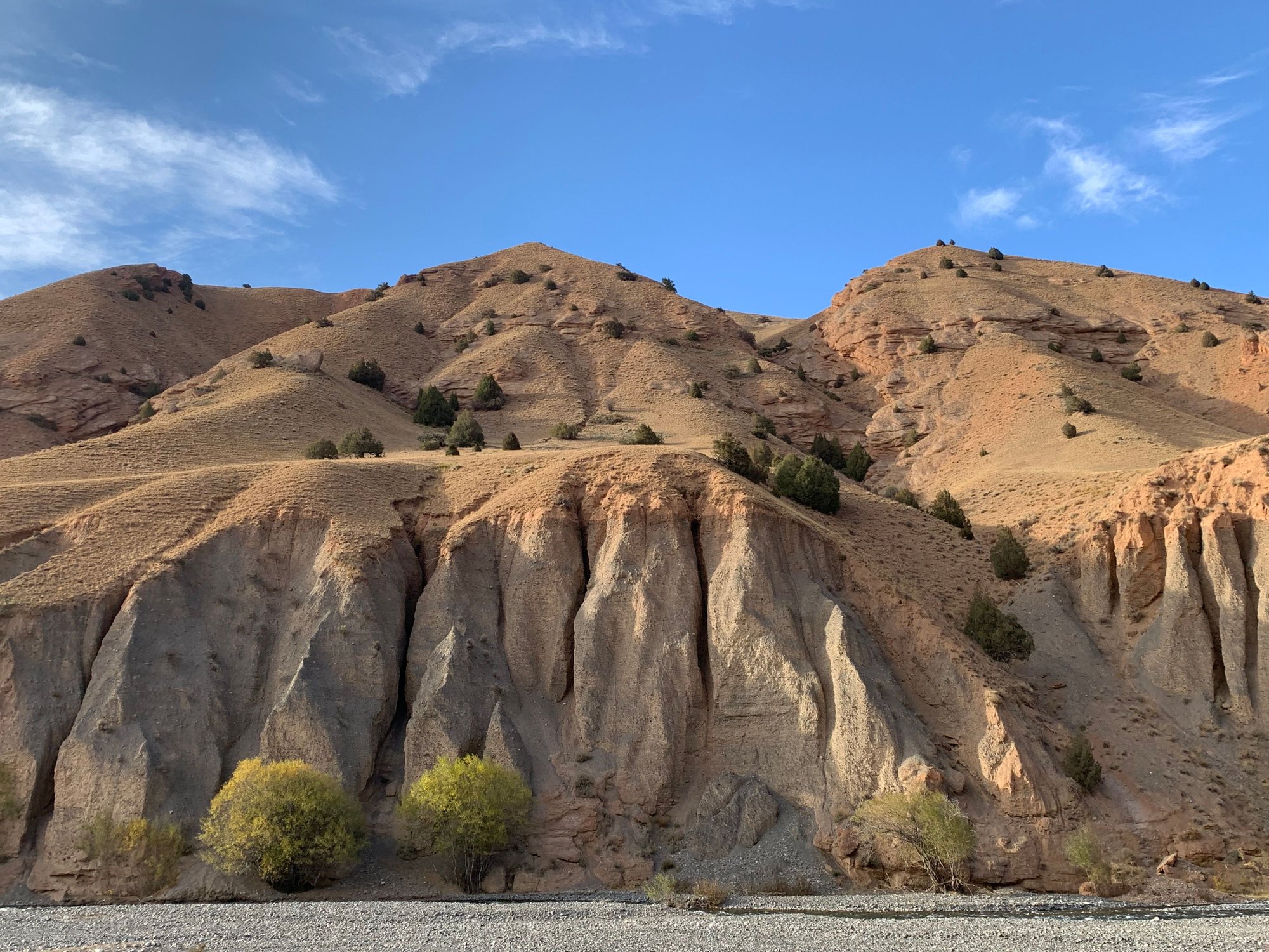
Fortunately, the road conditions throughout the entire journey were excellent.
First signs of traffic.
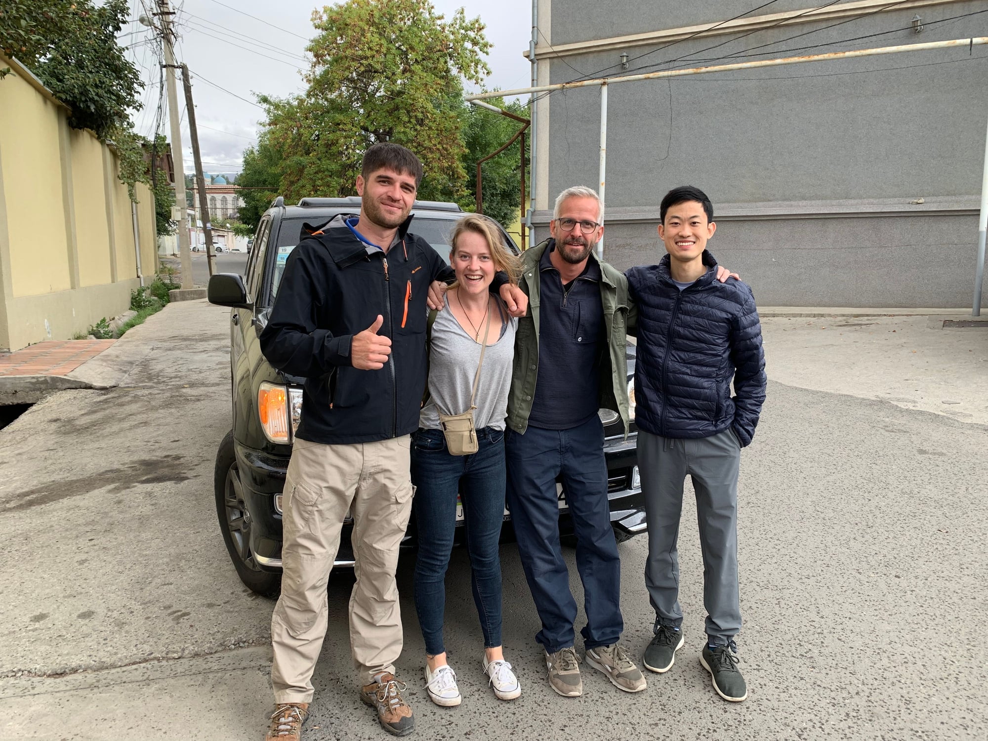
We pulled into our hostel in Osh just as the sun set, took a well-deserved hot shower, and changed into the nicest pair of clothes we all had for a sumptuous dinner at an Italian restaurant. For three strangers to meet less than 24 hours before setting off on a journey of a lifetime, I'd say we did pretty well.
This marks the end of the Part II. Part III will cover the journey back from Osh with Air Manas and Turkish Airlines. Thanks for following along!