From the Prairie to the Desert; Getting Some Kicks on Route 66
 Aug 31, 2018, 8:33 pm
#1
Original Poster
Join Date: Aug 2004
Location: Let me check my Logbook
Programs: Southwest Rapid Rewards; AAdvantage; Alaska Mileage Plan; Wyndham Rewards; Choice Hotels
Posts: 2,350
From the Prairie to the Desert; Getting Some Kicks on Route 66
Tour of Duty 24th August 2018 to 29th August 2018
Part I: 24th August The Train Ride and Flights Out
After a longer than desired time at home I learned of a trip from Independence, Kansas to Coachella, California. I looked into transportation options and found it was uneconomical to fly to MCI due to the cost of the air ticket. I did find that WN had some itineraries from SAN to TUL with connections. Flying from LAX and other airports closer would have cost almost 400$ more so it was worthwhile to take the extra time and travel to San Diego. After the air ticket was booked I booked an one-way ticket on Amtrak from Fullerton to San Diego.
Friday morning 24th August I awoke all too early and got ready and got transport to the Amtrak station in Fullerton. I checked two bags and waited for the train. Unlike the airlines and a few Greyhound locations there was no going through security to get on the train.
Amtrak #566 FUL-SAN
Depart: Scheduled 09h12, actual 09h13
Arrive: Scheduled 11h40, actual 11h36
Reclaim checked bags about 15 minutes after arrival
The train left Fullerton one minute late. Stops were made in Anaheim, Santa Ana, Irvine, San Juan Capistrano, San Clemente Pier, Oceanside, Solana Beach and Old Town San Diego before pulling into downtown San Diego. I visited the cafe car and had early midday rations consisting of a cheeseburger, potato chips and soda. I opted to eat on the train rather than at the airport as I believe that food at the airport is more overpriced. The train arrived in downtown San Diego 4 minutes early. I waited to reclaim my checked baggage then got transport to the airport.
I arrived at SAN and checked in and checked my bags which weighed 43.0 and 48.5lbs. I waited in queue for security and I used a lane that had only a Metal Detector even though my Boarding Pass did not have PreCheck. As a result I did not have to opt out and there was no additional screening of my carry on's.
Southwest #1903 SAN-DAL B-737-700 Boarding Pass B44
Seat 23A Cruising altitude 39,000 feet Estimated flying 2:33, actual 2:38
Depart: Gate 4 Scheduled 14h40, actual 14h45 Taxi: 12 minutes
Arrive: Gate 10 Scheduled 19h35, actual 19h39 Taxi: 3 minutes
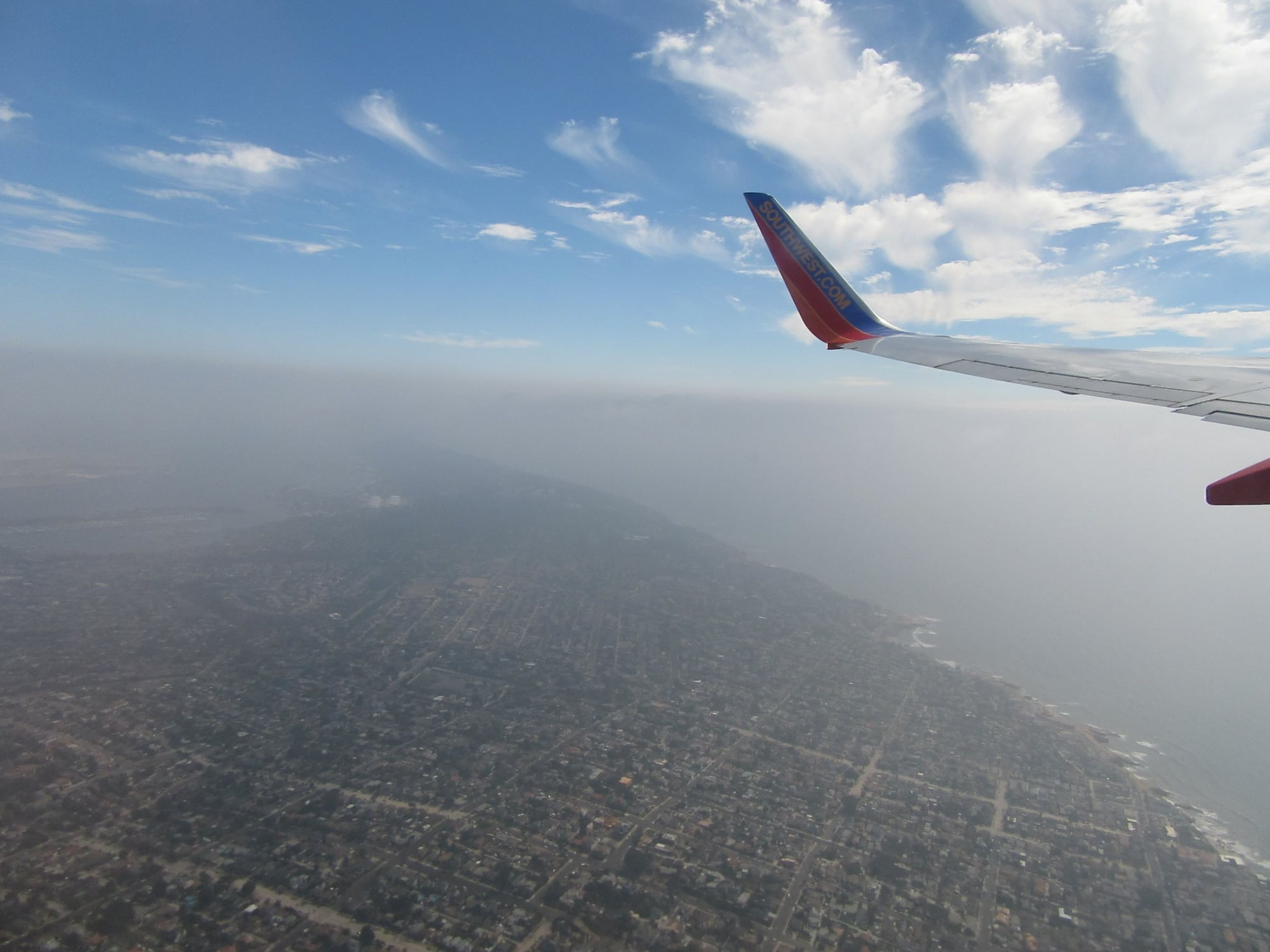
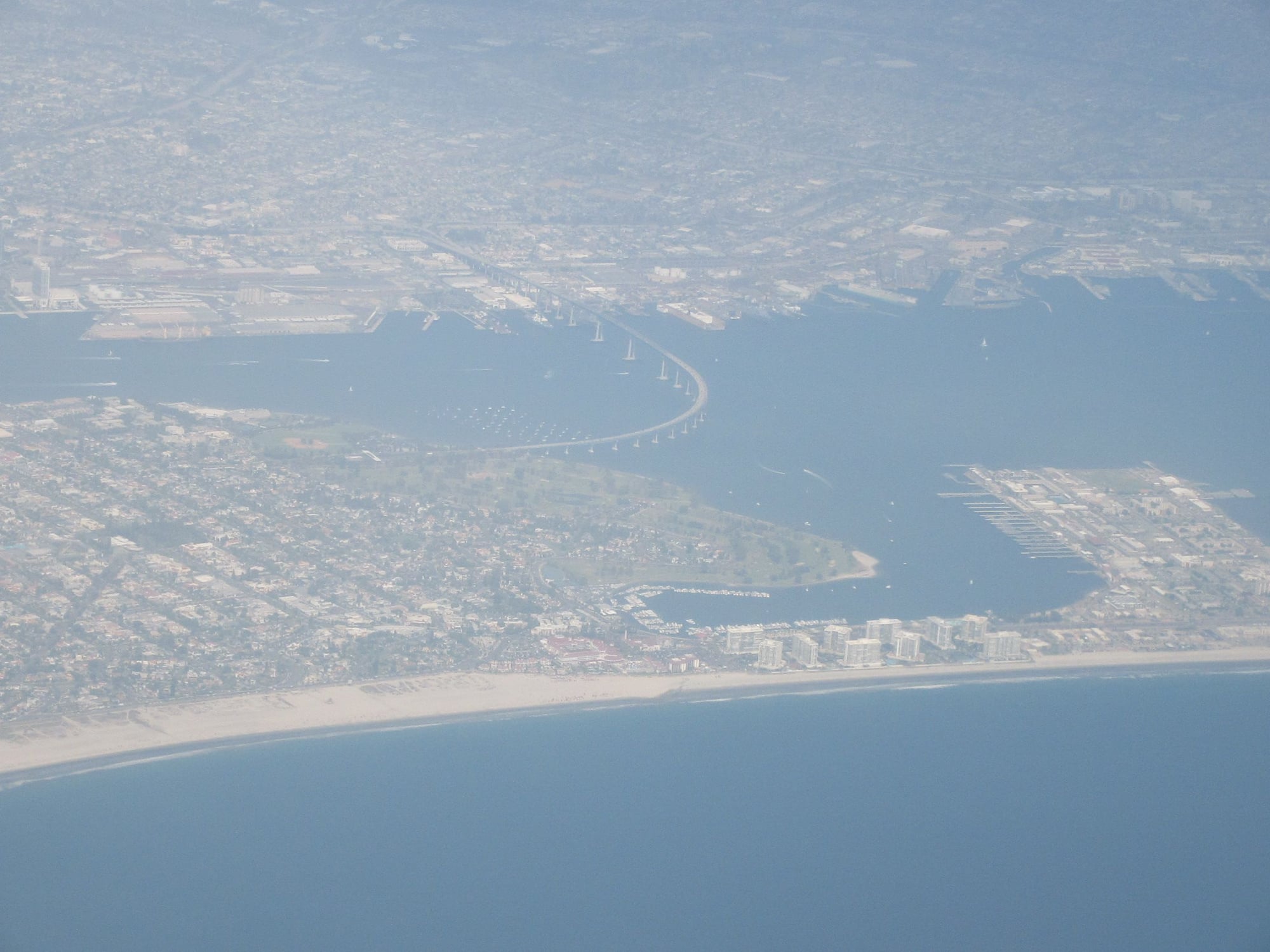
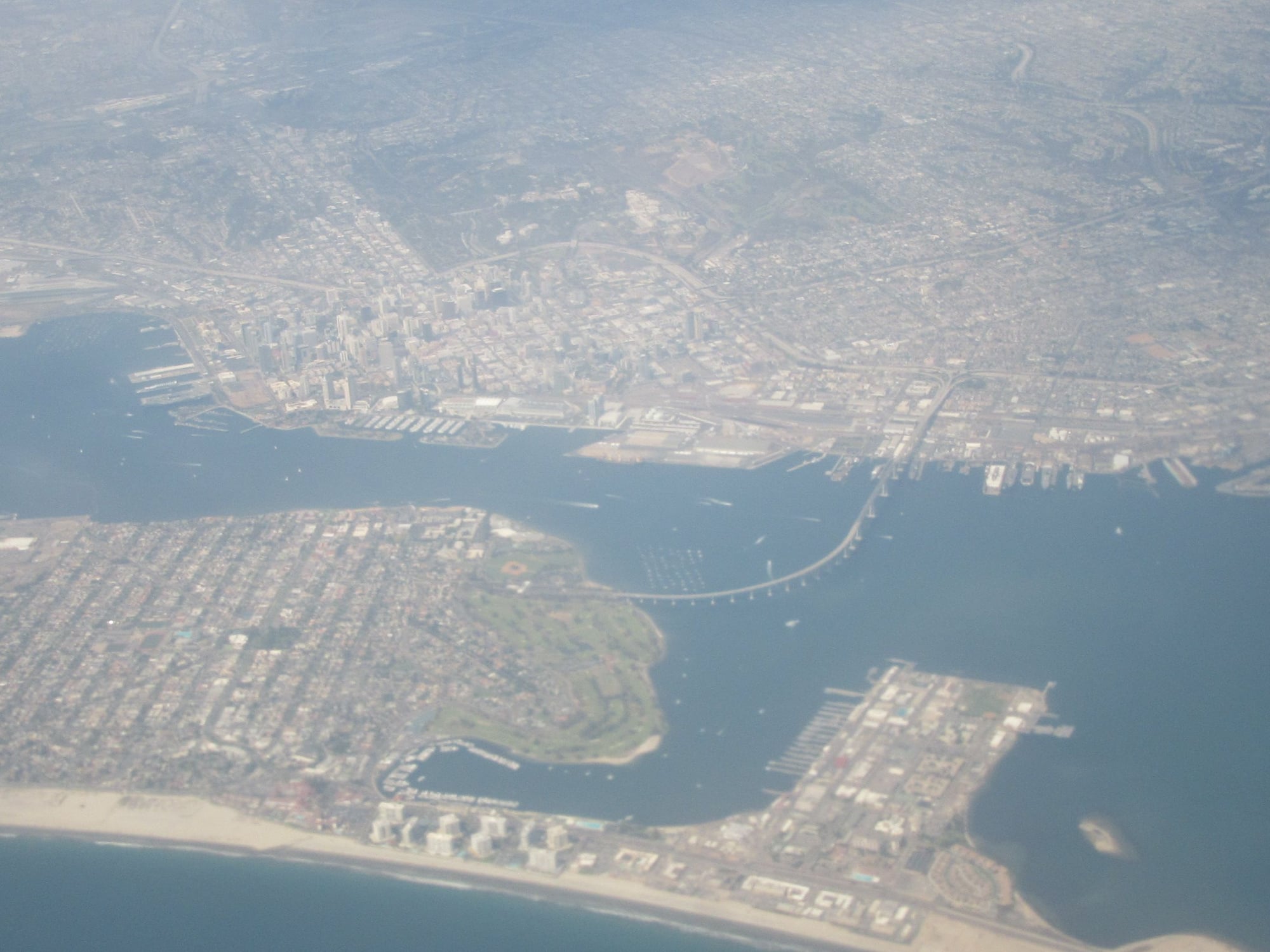
We boarded via jetway and the plane was not totally full with a load of 119/143. It was announced it was clear and 99F at DAL. Pushback was 5 minutes late and takeoff was to the west. I saw the Coronado Naval Air Station (where I was born!), San Diego Bay and Point Loma and we went overwater at 1min9sec. Then we made turns to the left and I saw some stupendous views of downtown San Diego, Coronado, the San Diego-Coronado Bay Bridge, Point Loma and San Diego Bay. We made landfall over the Silver Strand at 0:04 and over Chula Vista at 0:05 and I also saw National City and the Port of San Diego.
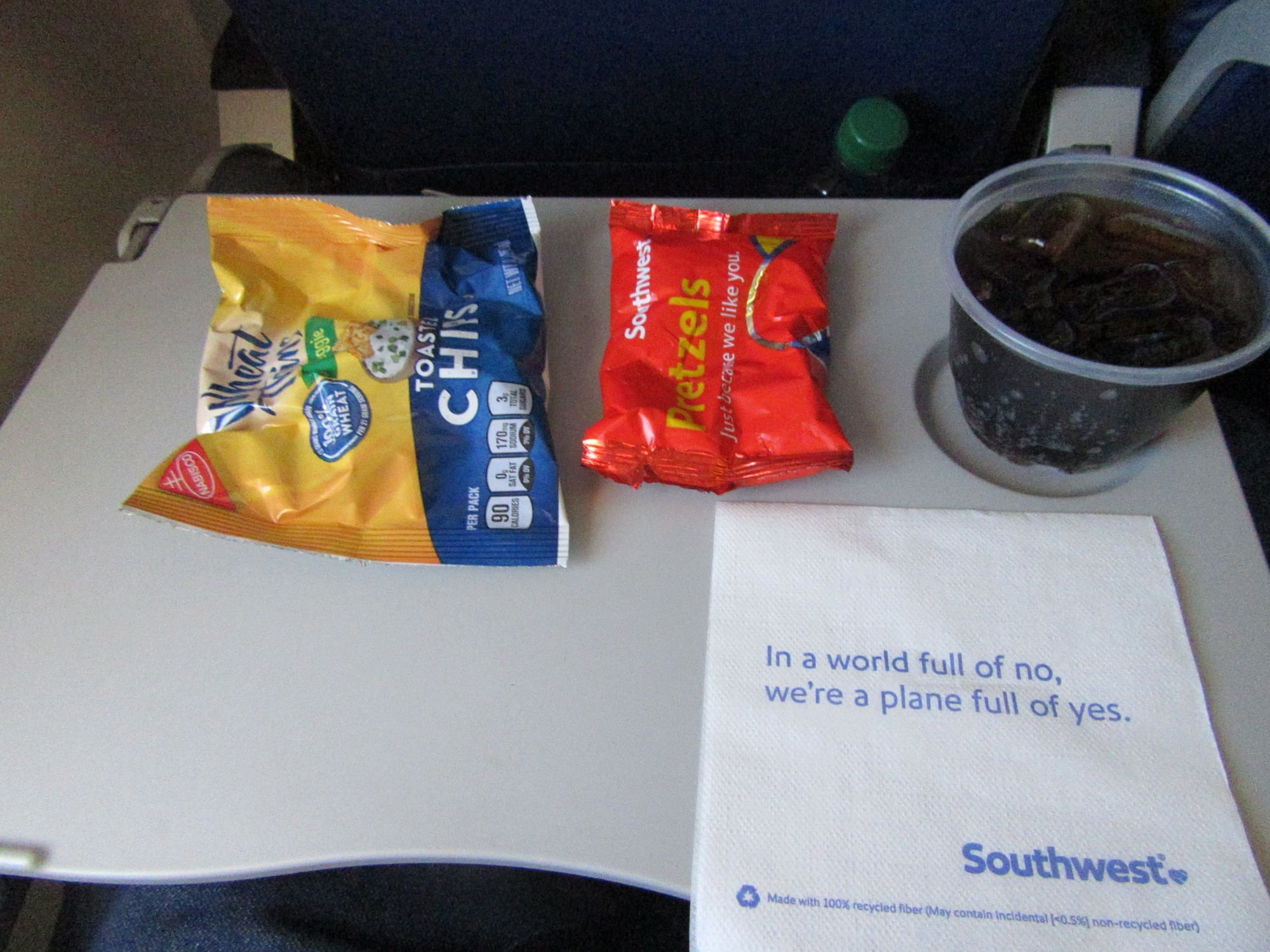
We crossed Interstate 8 over eastern San Diego at 0:10 then we went over the desert and I saw the Imperial Valley, El Centro, Imperial and Brawley as well as the Salton Sea at 0:15. I saw the Algodones Dunes at 0:18 and we crossed the Colorado River into Arizona airspace north of Yuma at 0:22 and cruise was announced and seatbelt sign went off at the same time. I got Pretzels and Wheat Thins at 0:32 over the deserts of Arizona. We crossed Arizona 85 at 0:34 north of Gila Bend and I saw the Buckeye area and Interstate 10 to the north. Then I saw the Phoenix area to the distance at 0:36.
At 0:40 seatbelt sign went back on as it was announced we were approaching rain showers ahead and bumps were expected. At the same time I saw Interstate 10 south of the Phoenix area. I also saw the East Valley of the Phoenix area to the distance. I got cup of soda at 0:45. At 0:49 it was announced the cabin crew would take jumpseats while we navigate around some storms. Clouds blocked the view below and some cloud tops were higher than our cruising altitude. I felt some real good bumps at 0:58 near the Arizona/New Mexico line north of Interstate 10.
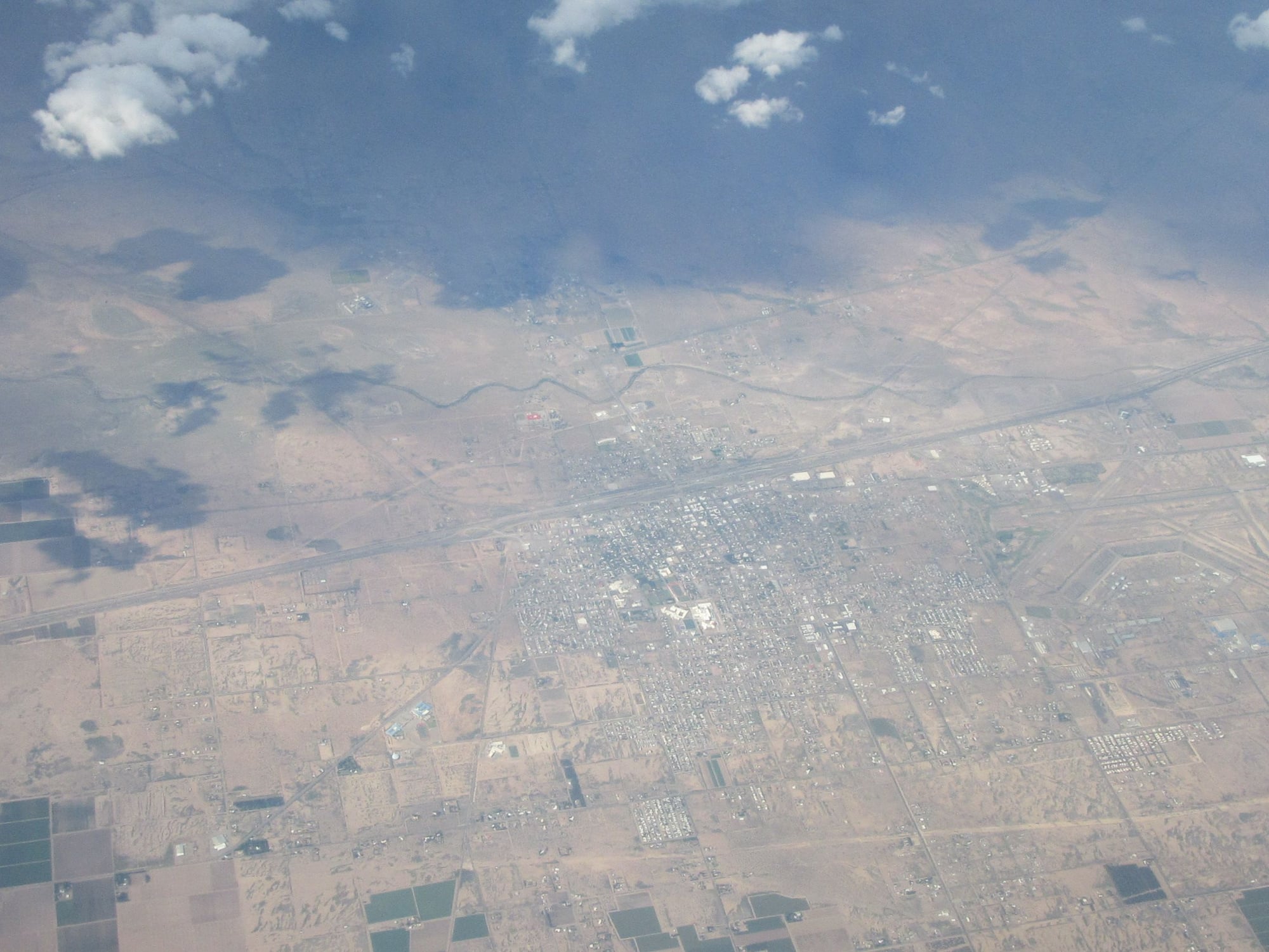
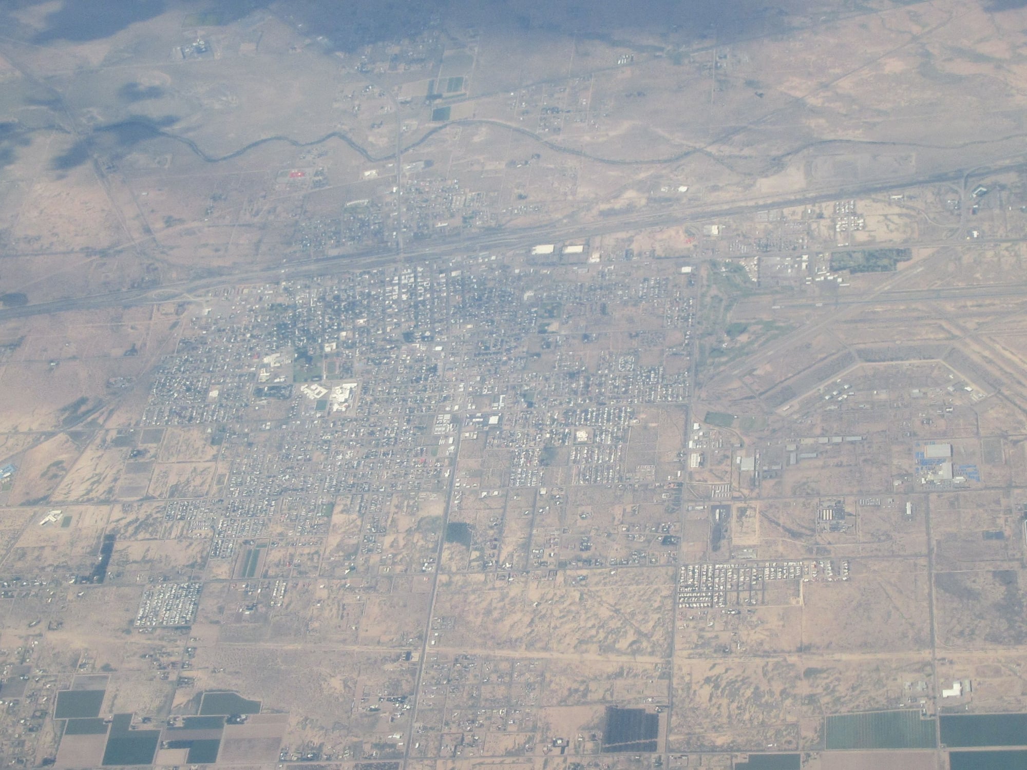
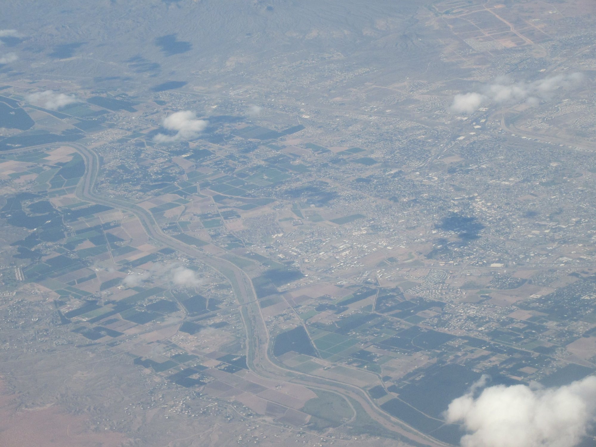
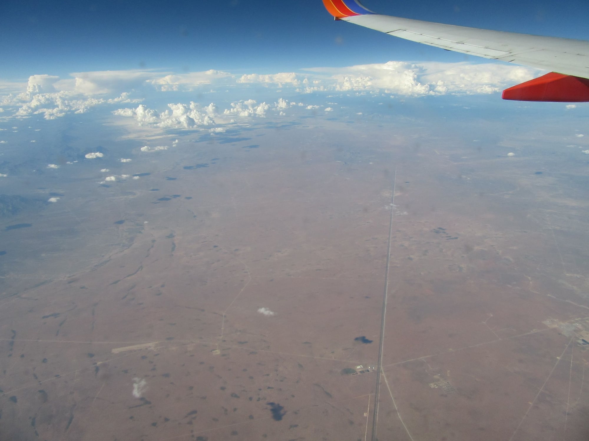
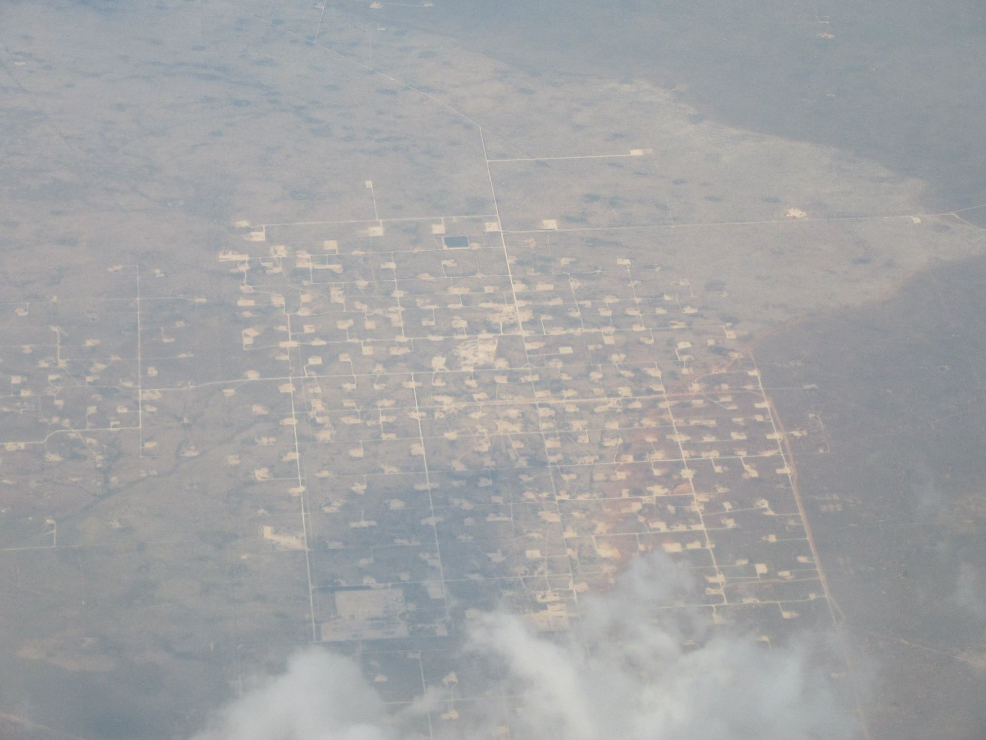
Clouds broke and we crossed Interstate 10 at 1:07 and I saw Deming, NM at 1:08. At 1:13 I saw Las Cruces, NM with White Sands to the distance. at 1:14 I saw the Organ Mountains. At 1:15 we crossed the Rio Grande and at 1:18 we crossed US54 north of El Paso. We skirted along the New Mexico/Texas line for awhile and clouds increased at 1:30. I got second cup of soda at 1:34. At 1:39 I saw what might have been Jal, NM through a break in the clouds. At 1:40 we finally left the New Mexico/Texas border and were over the Permian Basin of Texas. I saw Interstate 20 at 1:49 and I saw Big Spring, TX at 1:50. I saw Sweetwater, TX at 1:58 At 2:01 I saw Dyess Air Force Base and at 2:02 I saw Abilene, TX and vicinity to the north and at the same time I felt descent begin.
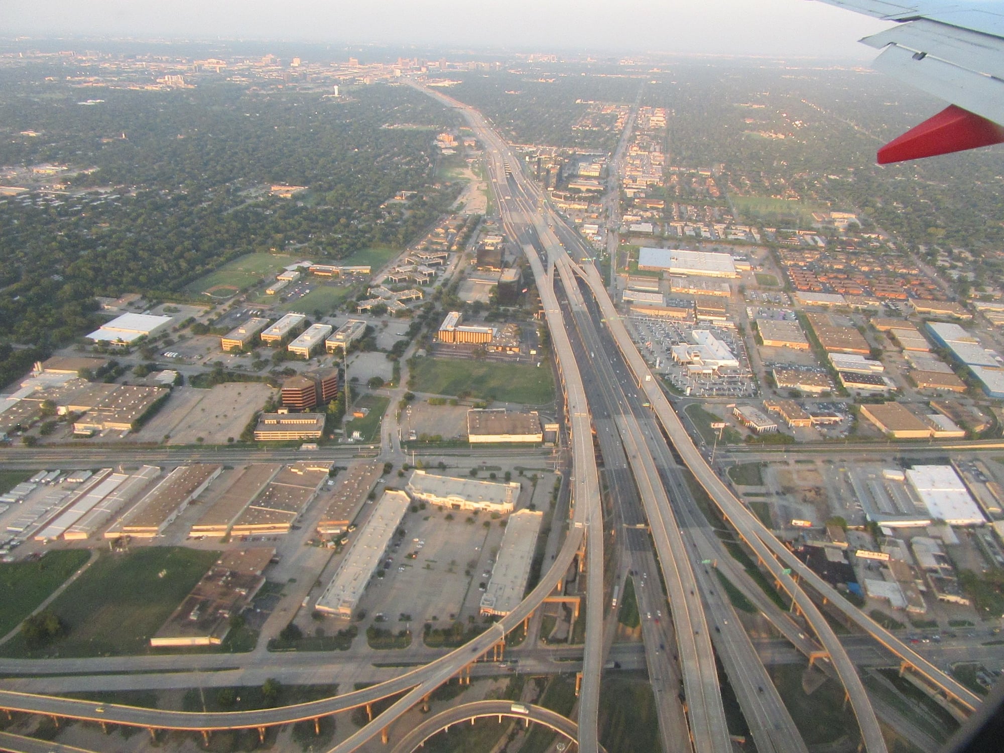
I saw Cisco, TX at 2:07 and I saw Eastland and Ranger, TX at 2:08. At 2:10 everyone lowered their window shades and turned on their call lights and the cabin crew led passengers singing "Happy Birthday" to a passenger who was turning 84 years of age. The call lights were the equivalent of "candles" for the birthday celebration. Descent was announced at 2:13 and it was announced it was 97F with clear skies and winds from the south at DAL. We crossed Interstate 35W at 2:21. We crossed Interstate 35E at 2:26 south of Dallas then we crossed Interstate 45 at 2:28 over Hutchins, TX. I saw the Interchange with Interstate 20 and we crossed Interstate 635 at 2:30. I saw downtown Dallas in the haze at 2:31. We turned north and crossed Interstate 30 at 2:34. I saw DAL in the haze. We turned west and crossed US75 at 2:36 and we continued to turn and landed north northeast to south southeast and arrived at gate 4 minutes late. We deplaned via jetway. I had evening rations at Dickey's BBQ Pit before proceeding to the gate for the connecting flight.
Southwest #874 DAL-TUL B-737-700 Boarding Pass B1
Seat 23F Cruising altitude 26,000 feet Estimated flying time 0:42, actual 0:38
Depart: Gate 20 Scheduled 21h20, actual 21h18 Taxi: 10 minutes
Arrive: Gate B5 Scheduled 22h20, actual 22h11 Taxi: 4 minutes
Reclaim checked bags 15 minutes after arrival
We boarded via jetway. The plane was wide open with a load of 67/143 and I had an entire row to myself. It was announced there were scattered clouds and it was 90F at TUL. Pushback was 2 minutes early and takeoff was to the south southeast. I saw downtown Dallas and the Trinity River Bridge within 2 minutes after takeoff. We made a "U" turn to head north. Drink orders were taken at 0:12. Seatbelt sign went off at 0:12. At 0:16 I got can of soda and cup of ice. At 0:17 I got pretzels. I felt descent begin at 0:22. Descent was announced and seatbelt sign went on at 0:26 and it was announced it was still 90F at TUL. At 0:31 I saw Oral Roberts University and the 60-story Prayer Tower. We crossed the Arkansas River at 0:32 and flew directly over downtown Tulsa before making a reverse "U" turn to the right and we landed north to south and arrived at gate 9 minutes early. We deplaned via jetway.
After I reclaimed my checked bags I proceeded to get into rental car. I headed to hotel where I had a room reserved and checked in and found the place to basically be a dump. I guess you get what you pay for. At least the running water worked and the lights worked. I spent the night in Tulsa, OK.
San Clemente Pier from Amtrak #566 FUL-SAN 24th August 2018
Part I: 24th August The Train Ride and Flights Out
After a longer than desired time at home I learned of a trip from Independence, Kansas to Coachella, California. I looked into transportation options and found it was uneconomical to fly to MCI due to the cost of the air ticket. I did find that WN had some itineraries from SAN to TUL with connections. Flying from LAX and other airports closer would have cost almost 400$ more so it was worthwhile to take the extra time and travel to San Diego. After the air ticket was booked I booked an one-way ticket on Amtrak from Fullerton to San Diego.
Friday morning 24th August I awoke all too early and got ready and got transport to the Amtrak station in Fullerton. I checked two bags and waited for the train. Unlike the airlines and a few Greyhound locations there was no going through security to get on the train.
Amtrak #566 FUL-SAN
Depart: Scheduled 09h12, actual 09h13
Arrive: Scheduled 11h40, actual 11h36
Reclaim checked bags about 15 minutes after arrival
The train left Fullerton one minute late. Stops were made in Anaheim, Santa Ana, Irvine, San Juan Capistrano, San Clemente Pier, Oceanside, Solana Beach and Old Town San Diego before pulling into downtown San Diego. I visited the cafe car and had early midday rations consisting of a cheeseburger, potato chips and soda. I opted to eat on the train rather than at the airport as I believe that food at the airport is more overpriced. The train arrived in downtown San Diego 4 minutes early. I waited to reclaim my checked baggage then got transport to the airport.
I arrived at SAN and checked in and checked my bags which weighed 43.0 and 48.5lbs. I waited in queue for security and I used a lane that had only a Metal Detector even though my Boarding Pass did not have PreCheck. As a result I did not have to opt out and there was no additional screening of my carry on's.
Southwest #1903 SAN-DAL B-737-700 Boarding Pass B44
Seat 23A Cruising altitude 39,000 feet Estimated flying 2:33, actual 2:38
Depart: Gate 4 Scheduled 14h40, actual 14h45 Taxi: 12 minutes
Arrive: Gate 10 Scheduled 19h35, actual 19h39 Taxi: 3 minutes
We boarded via jetway and the plane was not totally full with a load of 119/143. It was announced it was clear and 99F at DAL. Pushback was 5 minutes late and takeoff was to the west. I saw the Coronado Naval Air Station (where I was born!), San Diego Bay and Point Loma and we went overwater at 1min9sec. Then we made turns to the left and I saw some stupendous views of downtown San Diego, Coronado, the San Diego-Coronado Bay Bridge, Point Loma and San Diego Bay. We made landfall over the Silver Strand at 0:04 and over Chula Vista at 0:05 and I also saw National City and the Port of San Diego.
We crossed Interstate 8 over eastern San Diego at 0:10 then we went over the desert and I saw the Imperial Valley, El Centro, Imperial and Brawley as well as the Salton Sea at 0:15. I saw the Algodones Dunes at 0:18 and we crossed the Colorado River into Arizona airspace north of Yuma at 0:22 and cruise was announced and seatbelt sign went off at the same time. I got Pretzels and Wheat Thins at 0:32 over the deserts of Arizona. We crossed Arizona 85 at 0:34 north of Gila Bend and I saw the Buckeye area and Interstate 10 to the north. Then I saw the Phoenix area to the distance at 0:36.
At 0:40 seatbelt sign went back on as it was announced we were approaching rain showers ahead and bumps were expected. At the same time I saw Interstate 10 south of the Phoenix area. I also saw the East Valley of the Phoenix area to the distance. I got cup of soda at 0:45. At 0:49 it was announced the cabin crew would take jumpseats while we navigate around some storms. Clouds blocked the view below and some cloud tops were higher than our cruising altitude. I felt some real good bumps at 0:58 near the Arizona/New Mexico line north of Interstate 10.
Clouds broke and we crossed Interstate 10 at 1:07 and I saw Deming, NM at 1:08. At 1:13 I saw Las Cruces, NM with White Sands to the distance. at 1:14 I saw the Organ Mountains. At 1:15 we crossed the Rio Grande and at 1:18 we crossed US54 north of El Paso. We skirted along the New Mexico/Texas line for awhile and clouds increased at 1:30. I got second cup of soda at 1:34. At 1:39 I saw what might have been Jal, NM through a break in the clouds. At 1:40 we finally left the New Mexico/Texas border and were over the Permian Basin of Texas. I saw Interstate 20 at 1:49 and I saw Big Spring, TX at 1:50. I saw Sweetwater, TX at 1:58 At 2:01 I saw Dyess Air Force Base and at 2:02 I saw Abilene, TX and vicinity to the north and at the same time I felt descent begin.
I saw Cisco, TX at 2:07 and I saw Eastland and Ranger, TX at 2:08. At 2:10 everyone lowered their window shades and turned on their call lights and the cabin crew led passengers singing "Happy Birthday" to a passenger who was turning 84 years of age. The call lights were the equivalent of "candles" for the birthday celebration. Descent was announced at 2:13 and it was announced it was 97F with clear skies and winds from the south at DAL. We crossed Interstate 35W at 2:21. We crossed Interstate 35E at 2:26 south of Dallas then we crossed Interstate 45 at 2:28 over Hutchins, TX. I saw the Interchange with Interstate 20 and we crossed Interstate 635 at 2:30. I saw downtown Dallas in the haze at 2:31. We turned north and crossed Interstate 30 at 2:34. I saw DAL in the haze. We turned west and crossed US75 at 2:36 and we continued to turn and landed north northeast to south southeast and arrived at gate 4 minutes late. We deplaned via jetway. I had evening rations at Dickey's BBQ Pit before proceeding to the gate for the connecting flight.
Southwest #874 DAL-TUL B-737-700 Boarding Pass B1
Seat 23F Cruising altitude 26,000 feet Estimated flying time 0:42, actual 0:38
Depart: Gate 20 Scheduled 21h20, actual 21h18 Taxi: 10 minutes
Arrive: Gate B5 Scheduled 22h20, actual 22h11 Taxi: 4 minutes
Reclaim checked bags 15 minutes after arrival
We boarded via jetway. The plane was wide open with a load of 67/143 and I had an entire row to myself. It was announced there were scattered clouds and it was 90F at TUL. Pushback was 2 minutes early and takeoff was to the south southeast. I saw downtown Dallas and the Trinity River Bridge within 2 minutes after takeoff. We made a "U" turn to head north. Drink orders were taken at 0:12. Seatbelt sign went off at 0:12. At 0:16 I got can of soda and cup of ice. At 0:17 I got pretzels. I felt descent begin at 0:22. Descent was announced and seatbelt sign went on at 0:26 and it was announced it was still 90F at TUL. At 0:31 I saw Oral Roberts University and the 60-story Prayer Tower. We crossed the Arkansas River at 0:32 and flew directly over downtown Tulsa before making a reverse "U" turn to the right and we landed north to south and arrived at gate 9 minutes early. We deplaned via jetway.
After I reclaimed my checked bags I proceeded to get into rental car. I headed to hotel where I had a room reserved and checked in and found the place to basically be a dump. I guess you get what you pay for. At least the running water worked and the lights worked. I spent the night in Tulsa, OK.
San Clemente Pier from Amtrak #566 FUL-SAN 24th August 2018
Last edited by Loose Cannon; Sep 2, 2018 at 1:33 am
 Aug 31, 2018, 9:07 pm
#2
Original Poster
Join Date: Aug 2004
Location: Let me check my Logbook
Programs: Southwest Rapid Rewards; AAdvantage; Alaska Mileage Plan; Wyndham Rewards; Choice Hotels
Posts: 2,350
Pictures WN1903 SAN-DAL 24th August 2018
SAN immediately after takeoff

Looking south immediately after takeoff
Looking south toward Point Loma
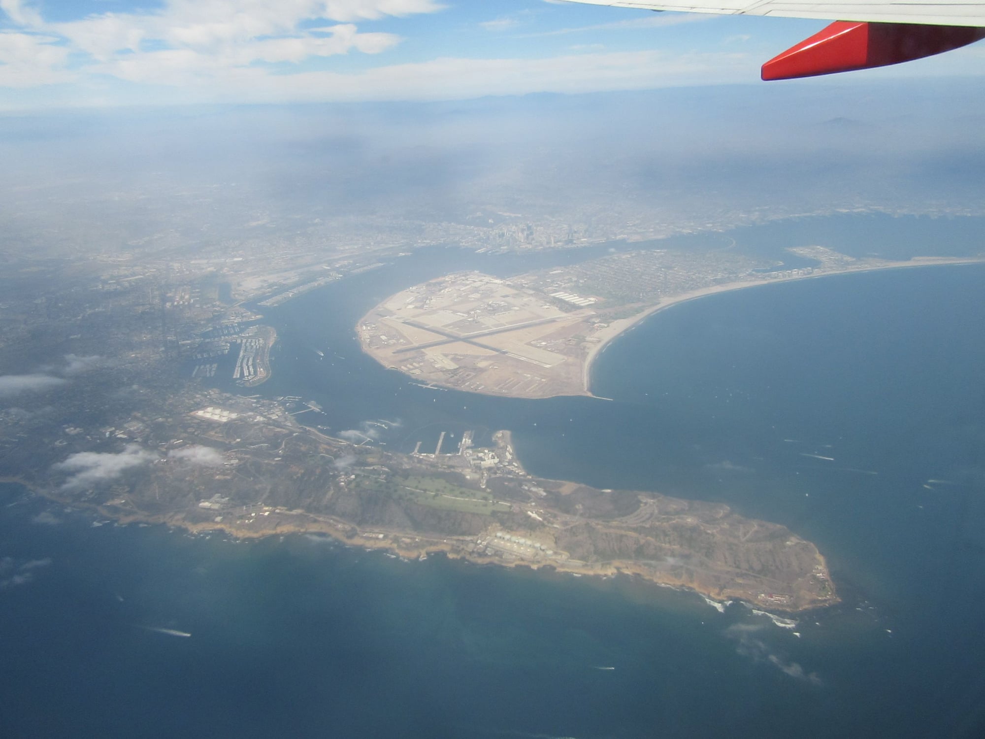
Point Loma, San Diego Bay and Coronado Naval Air Station as well as the city of Coronado
Coronado and the San Diego-Coronado Bay Bridge
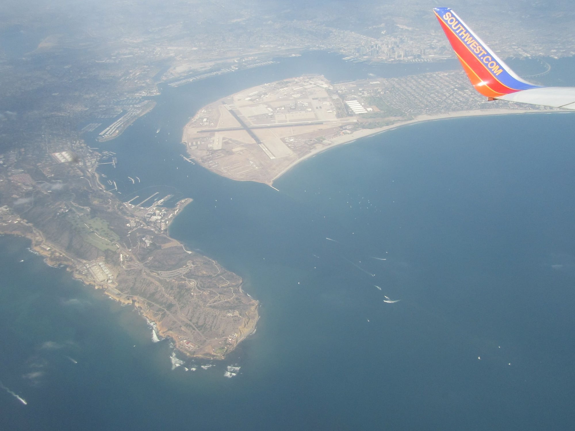
Point Loma and the Coronado Naval Air Station
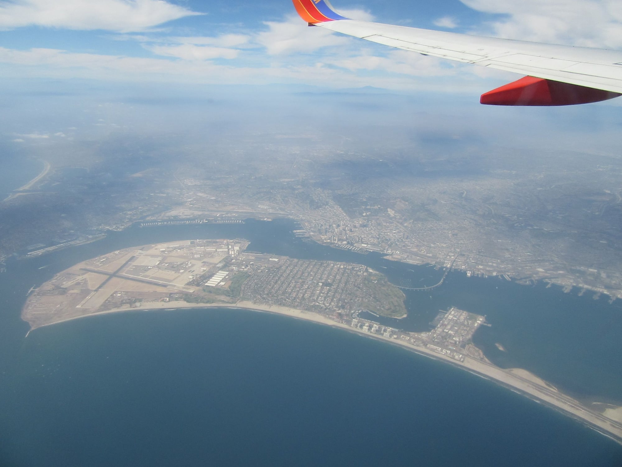
Coronado, San Diego and San Diego Bay
Coronado, San Diego and the San Diego-Coronado Bay Bridge
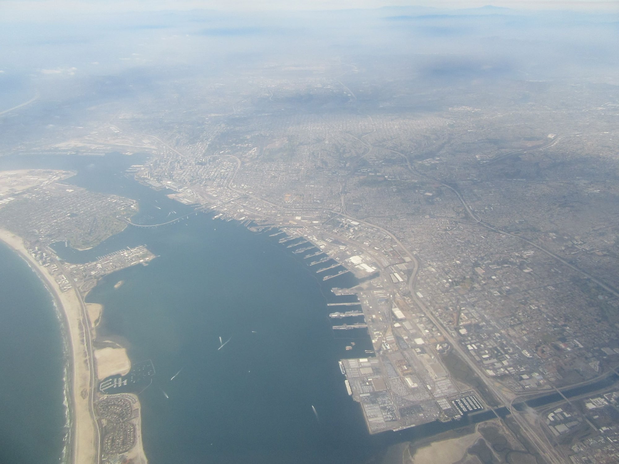
Looking north with the Silver Strand, San Diego Bay and National City and the Port of San Diego
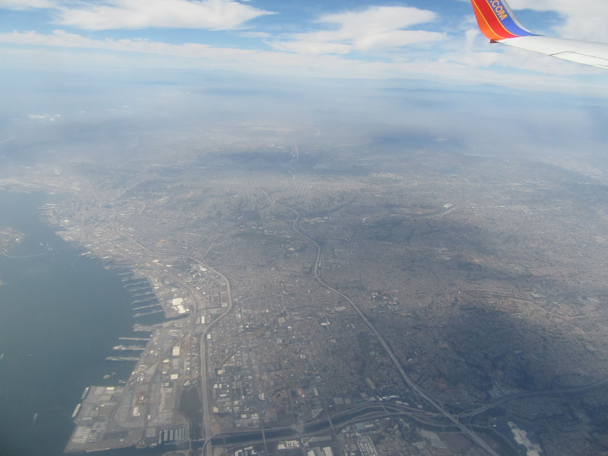
Chula Vista and National City looking north
Sep 1, 2018, 12:06 am
#3
Original Poster
Join Date: Aug 2004
Location: Let me check my Logbook
Programs: Southwest Rapid Rewards; AAdvantage; Alaska Mileage Plan; Wyndham Rewards; Choice Hotels
Posts: 2,350
More Pictures WN1903 SAN-DAL 24th August 2018
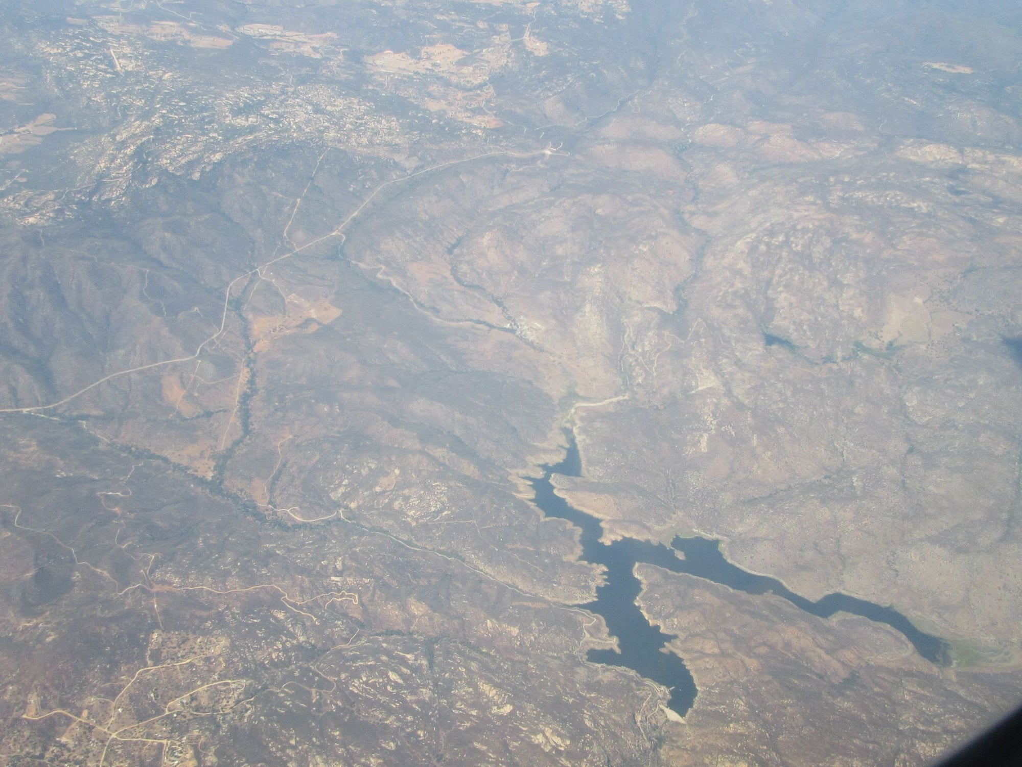
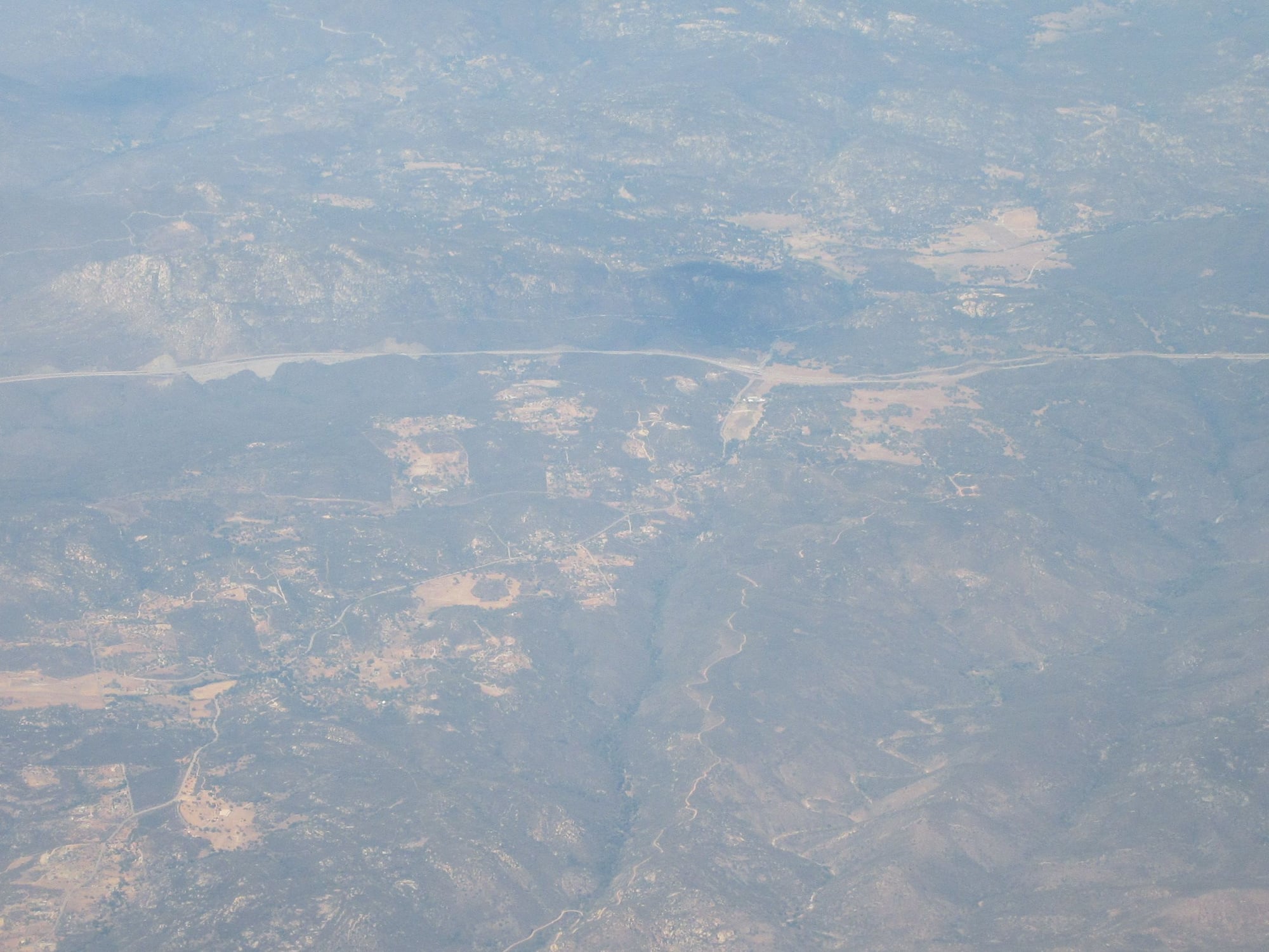
Inland San Diego County
Interstate 8
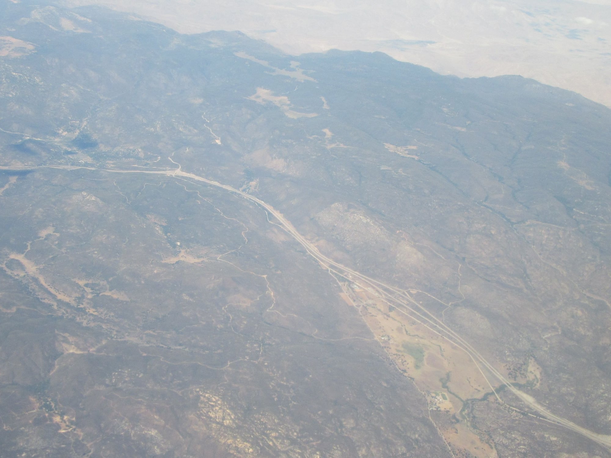
Interstate 8 eastern San Diego County
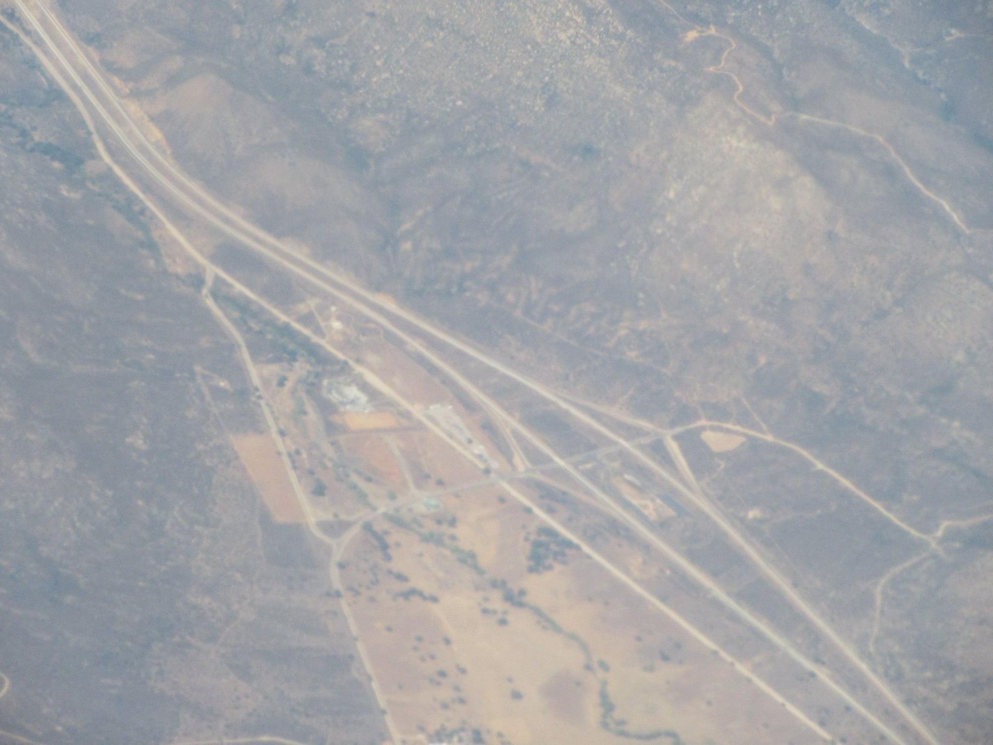
Interstate 8 eastern San Diego County
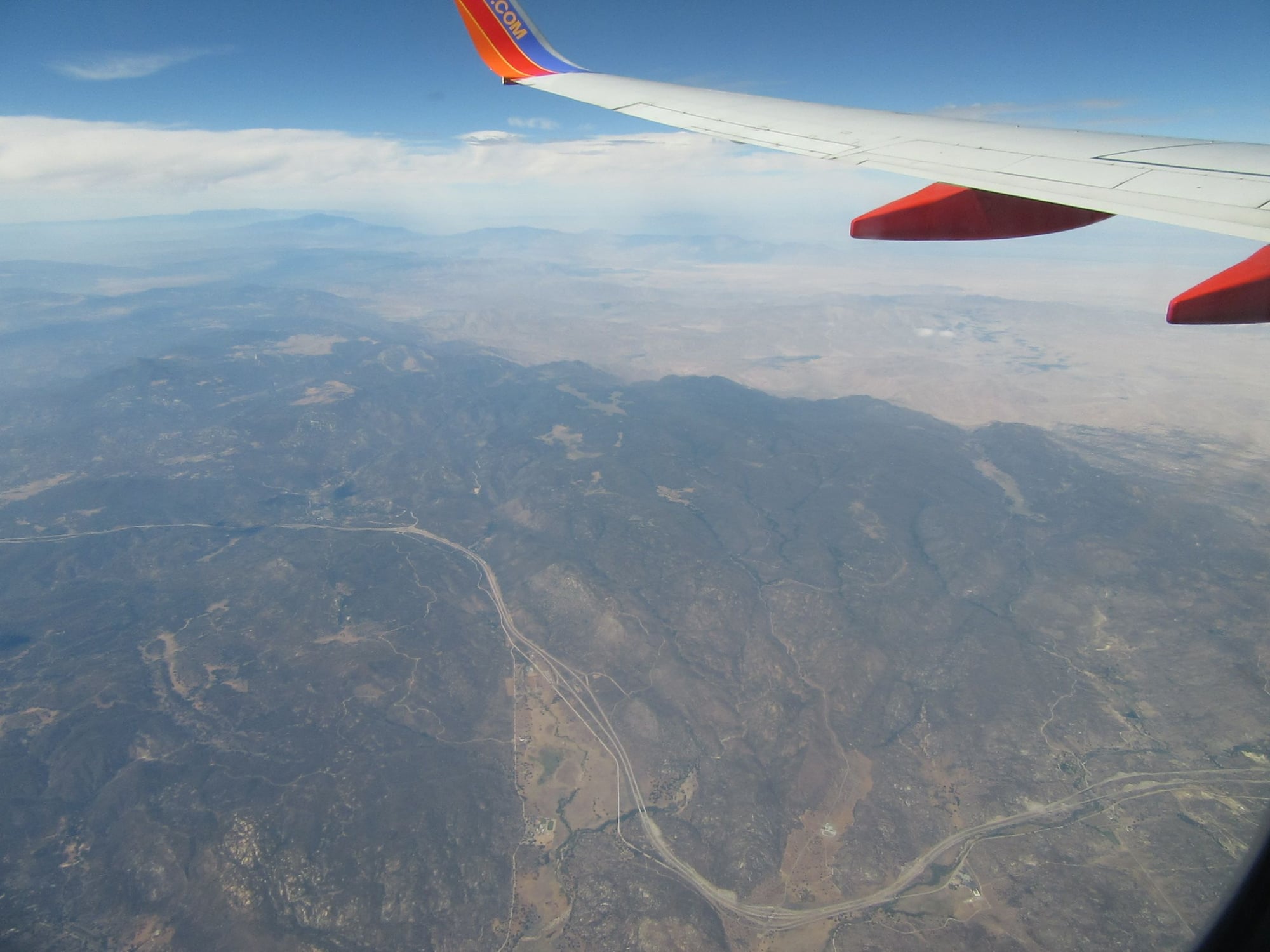
Interstate 8 eastern San Diego County
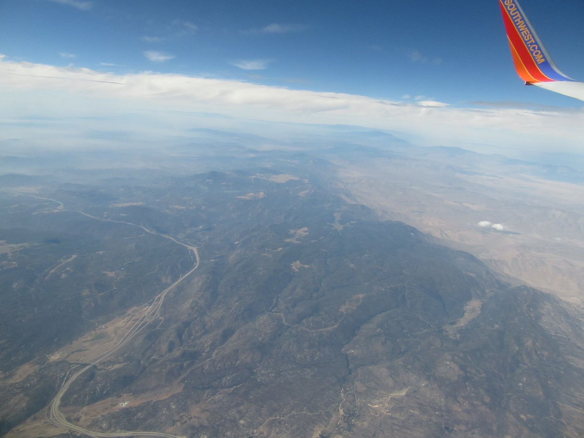
Interstate 8 and mountains eastern San Diego County
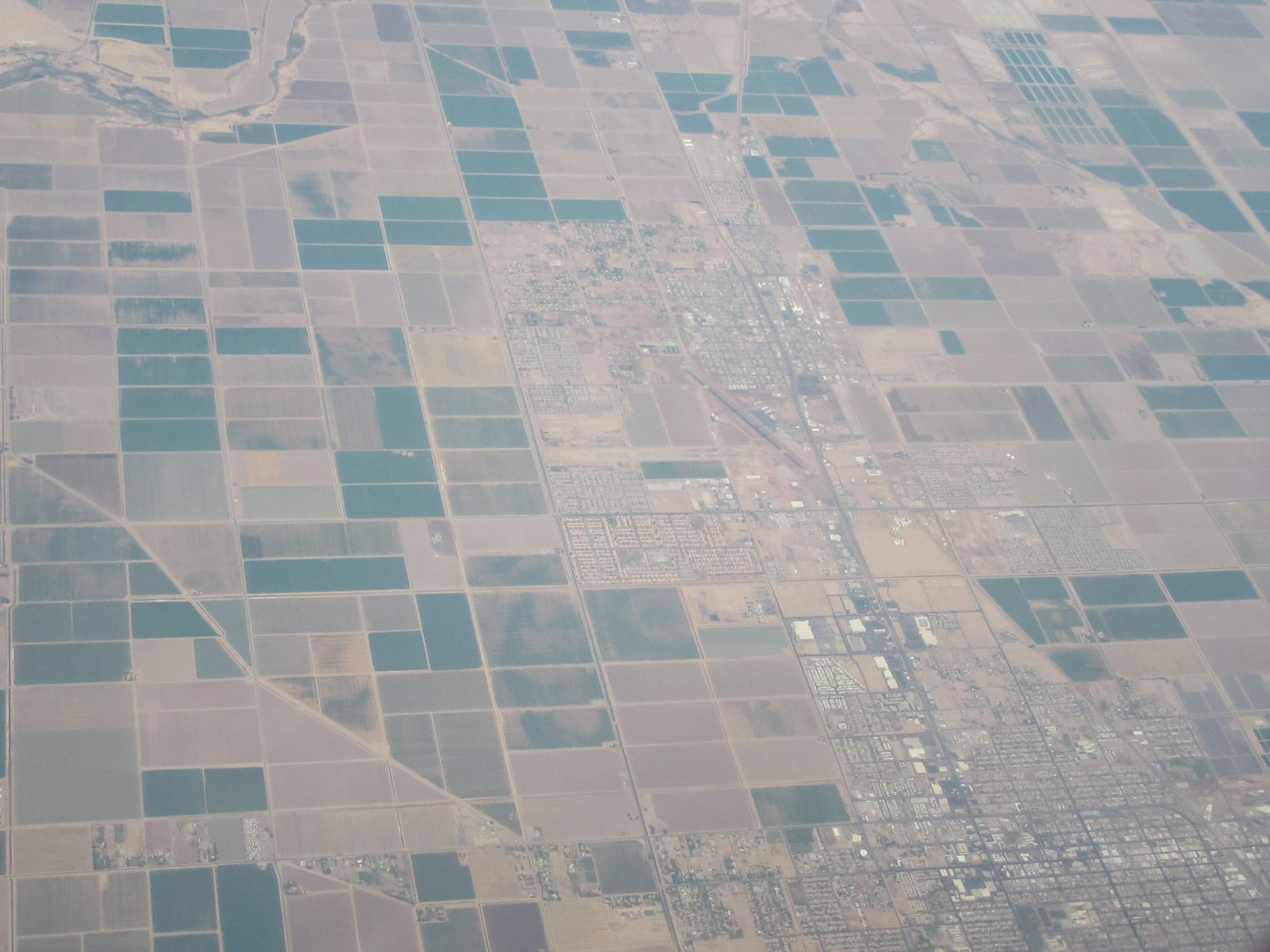
Imperial Valley
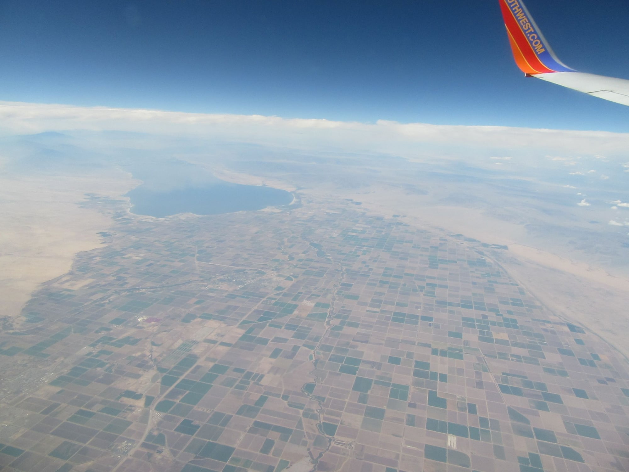
Salton Sea and Imperial Valley
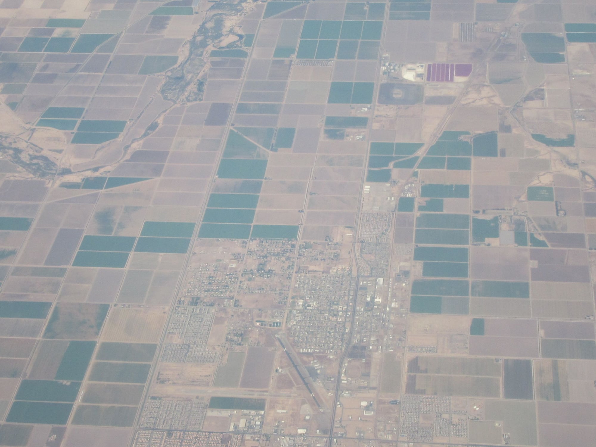
Some Imperial Valley cities

Imperial Valley and Algodones Dunes
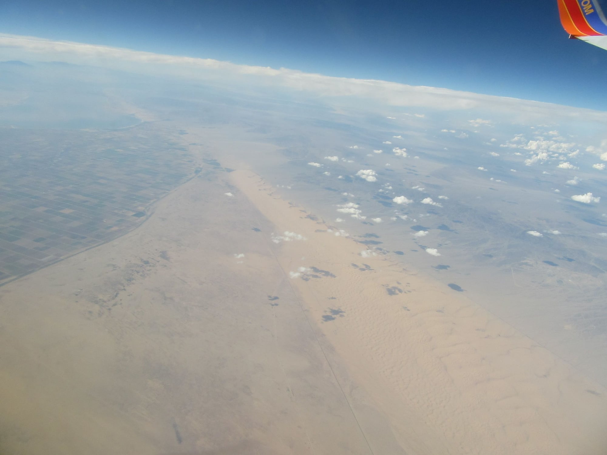
Algodones Dunes
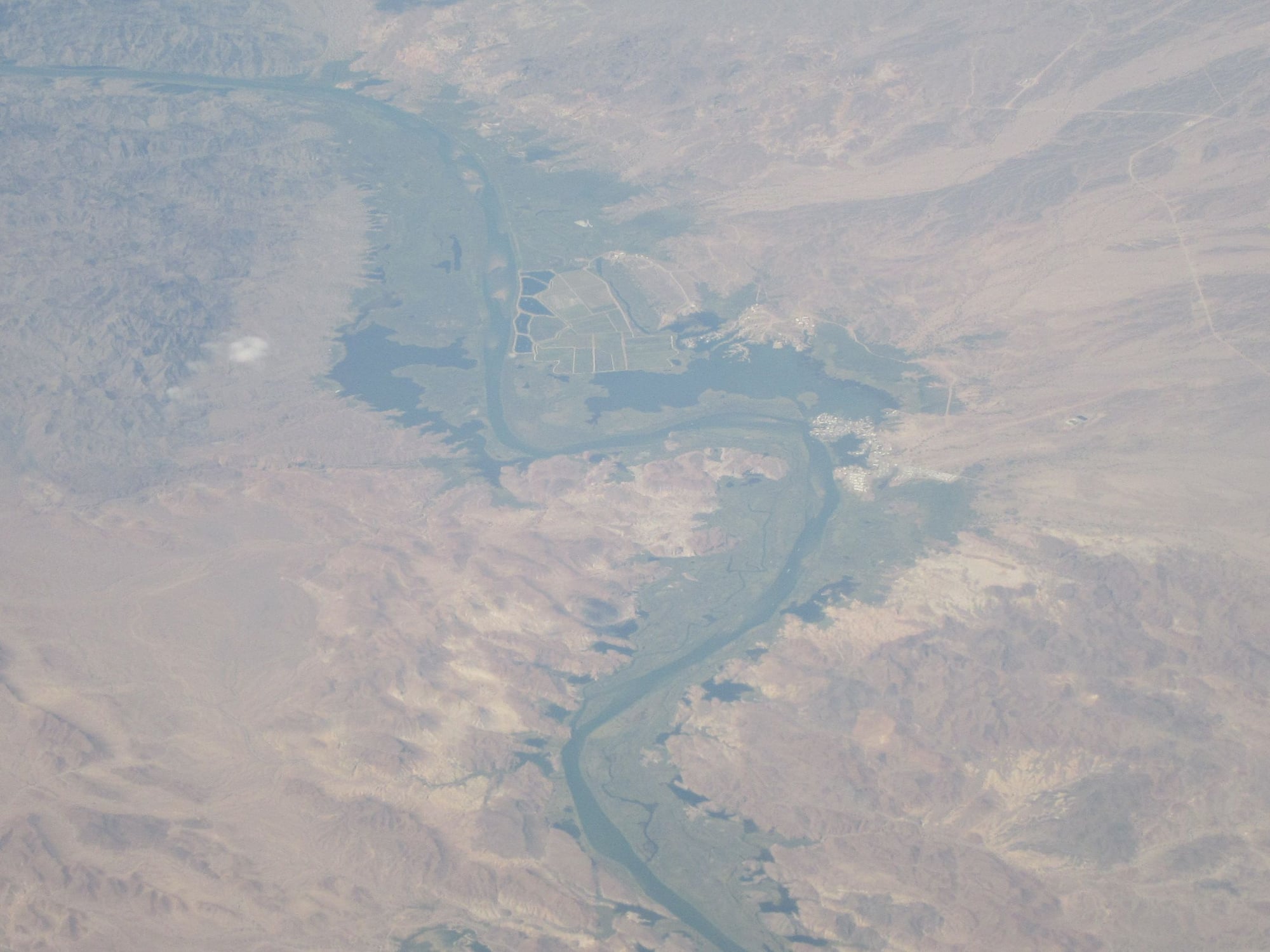
Colorado River north of Yuma, AZ
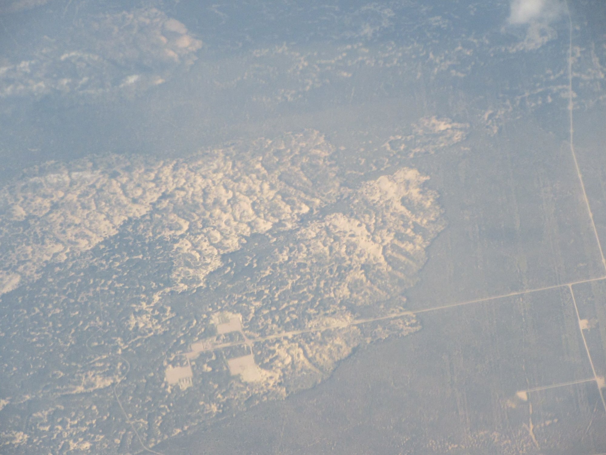
Arizona
Service

Clouds over Arizona
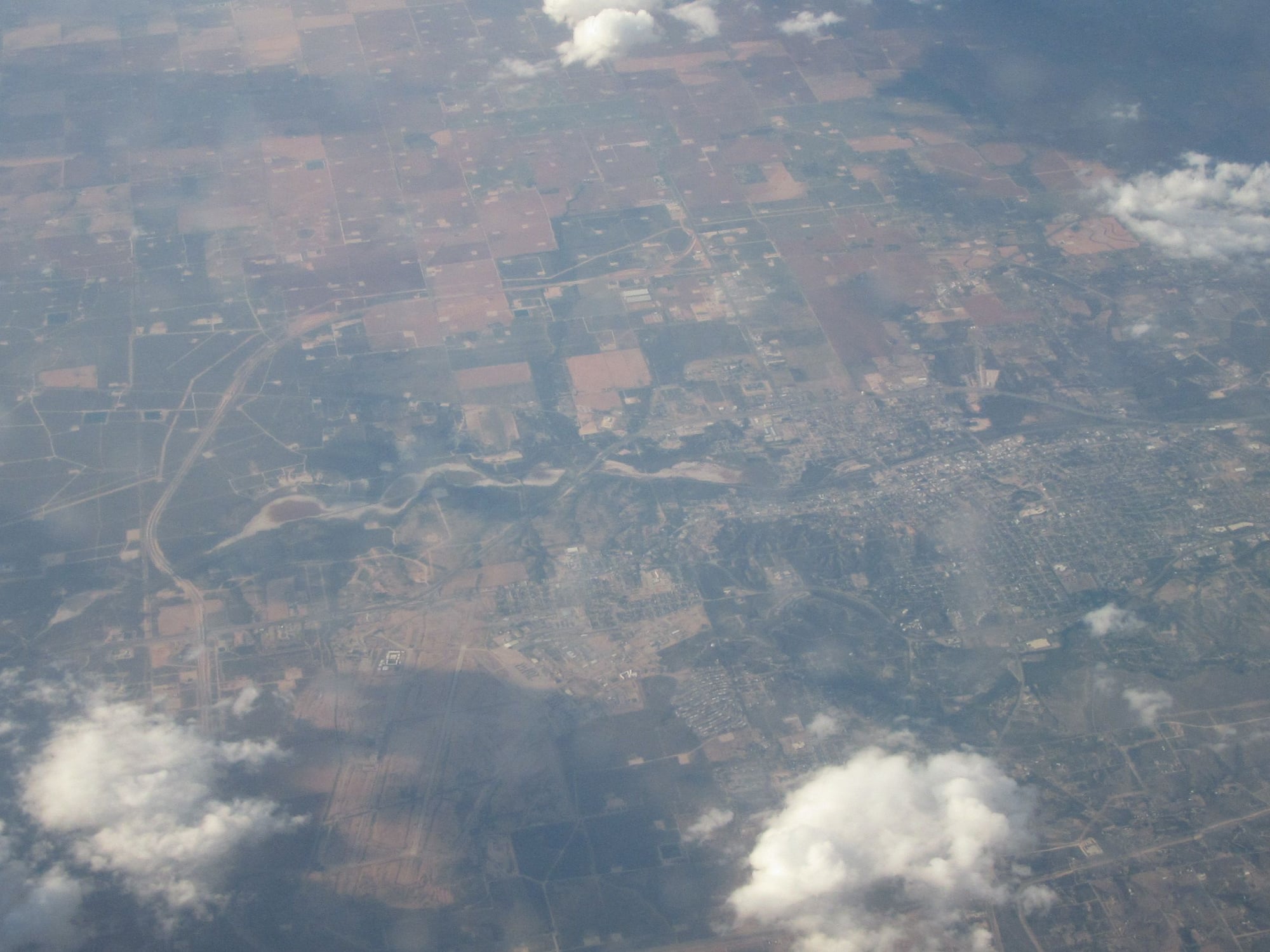
Interstate 10 and Deming, New Mexico
Deming, New Mexico
Sep 1, 2018, 12:39 am
#4
Original Poster
Join Date: Aug 2004
Location: Let me check my Logbook
Programs: Southwest Rapid Rewards; AAdvantage; Alaska Mileage Plan; Wyndham Rewards; Choice Hotels
Posts: 2,350
Even More Pictures WN1903 SAN-DAL 24th August 2018
Las Cruces, New Mexico and the Rio Grande
US Highway 54 in southern New Mexico
Second Service
Jal, New Mexico
Permian Basin
Sand Dunes in the Permian Basin
Big Spring, Texas
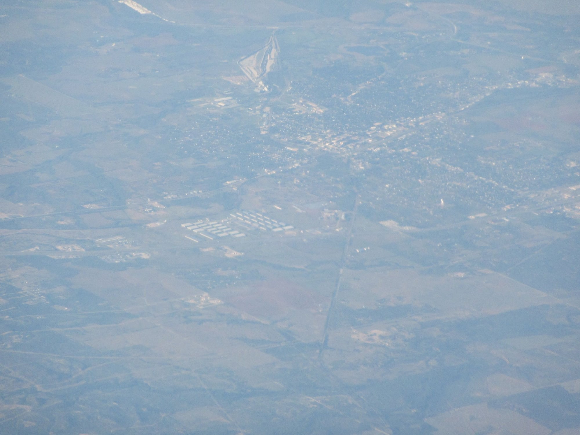
Sweetwater, Texas
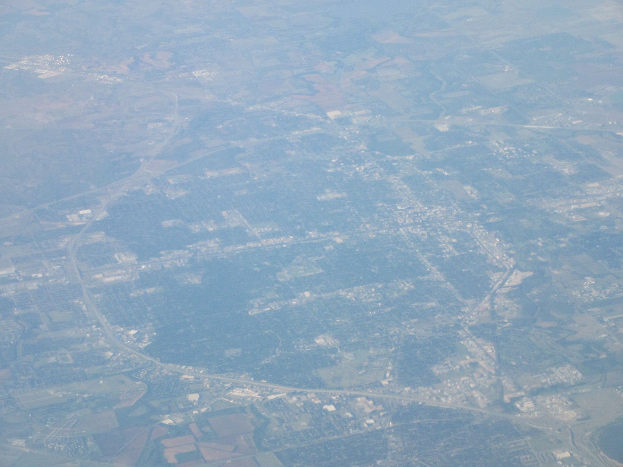
Abilene, Texas
Birthday Celebration for a Passenger who turned 84

Interchange of Interstate 20 and Interstate 45 near Hutchins, Texas

Approach to DAL
Final Approach to DAL
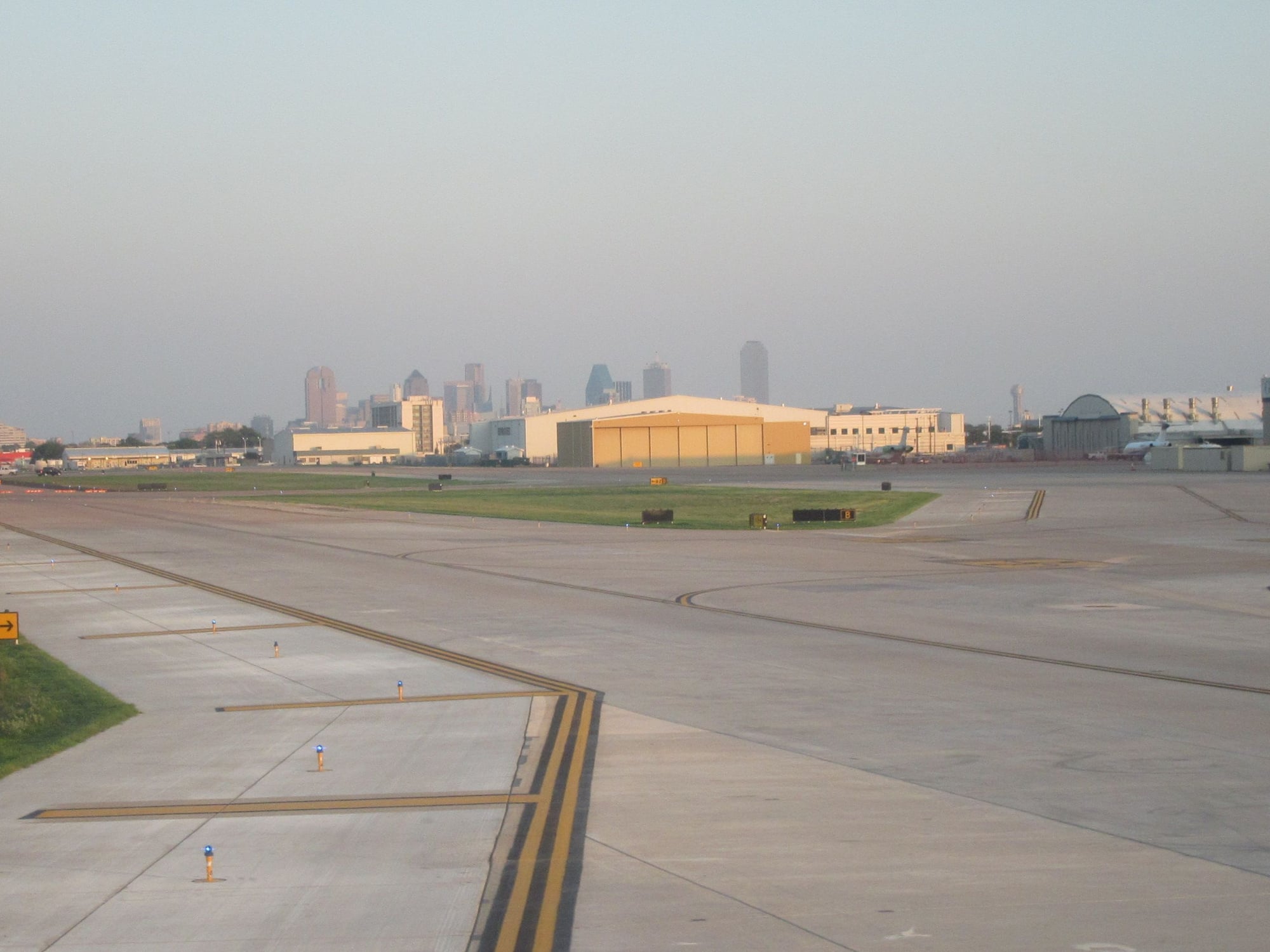
On the ground at DAL, downtown Dallas in the background
Sep 1, 2018, 11:47 pm
#5
Original Poster
Join Date: Aug 2004
Location: Let me check my Logbook
Programs: Southwest Rapid Rewards; AAdvantage; Alaska Mileage Plan; Wyndham Rewards; Choice Hotels
Posts: 2,350
Slow Truck to California; Changes in Elevation
Tour of Duty 24th August 2018 to 29th August 2018
Part II: 25th August to 29th August
Saturday 25th August I awoke in Tulsa, Oklahoma. I checked out of hotel and got in rental car to head to Kansas. North of Bartlesville, Oklahoma I experienced a few raindrops; in fact, those were the only raindrops of my entire tour of duty. I arrived at shipper in Independence, Kansas and loaded my gear into truck and did inspection. There were no safety triangles so dispatch directed me to get three road flares. I was not able to find flares at Walmart or O'Reilly Auto Parts. I finally succeeded in getting a set of three road flares at Auto Zone. Then I had late midday rations at Arby's. Then I headed to filling station to fill the tank of the rental car then I turned in the rental car and walked back to the truck.
Trip: Independence, KS to Coachella, CA 1,394 paid miles
Make: 2019 Freightliner
Model: Straight Truck
Transmission: Automatic
Route: US160 to US75 to Oklahoma 11 to Interstate 244 to Interstate 44 to Interstate 40 to Interstate 17 to Arizona 101 to Interstate 10 to Dillon Road to California 86
Highest elevation: 7,275 feet at Continental Divide Interstate 40 about 25 miles east of Gallup, NM or 47 miles east of the AZ/NM state line
Lowest elevation: 89 feet below sea level at the receiver in Coachella, CA
Highest diesel price USA: 3.499$ per gallon at Flying J Ehrenberg, AZ
Lowest diesel price USA: 2.969$ per gallon at Miller Brothers Independence, KS
Permits required: AZ and NM Trip Permits
I headed to a truckstop to get diesel only to find that location was out of diesel. So I headed to a filling station that did have diesel so I took on some fuel. Then I got underway and when the speed limit went up to 65mph I mashed the throttle to the floor and and found that this truck was governed to only 55mph. I stopped at Rib Crib in Bartlesville, OK for evening rations. After I topped off the fuel tank in Tulsa I got on the Turner Turnpike and there was some significant construction but outside the construction zone on the Turner Turnpike all vehicles were allowed as high as 75mph so I felt like I was poking along at 55mph. I spent the night in Oklahoma City, OK.
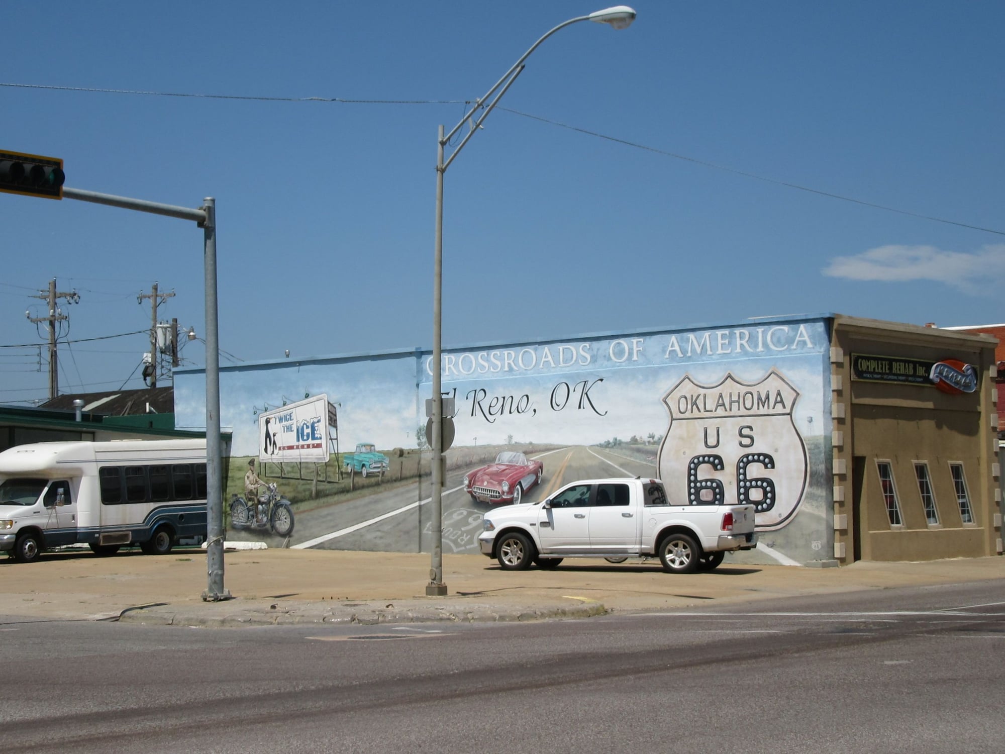
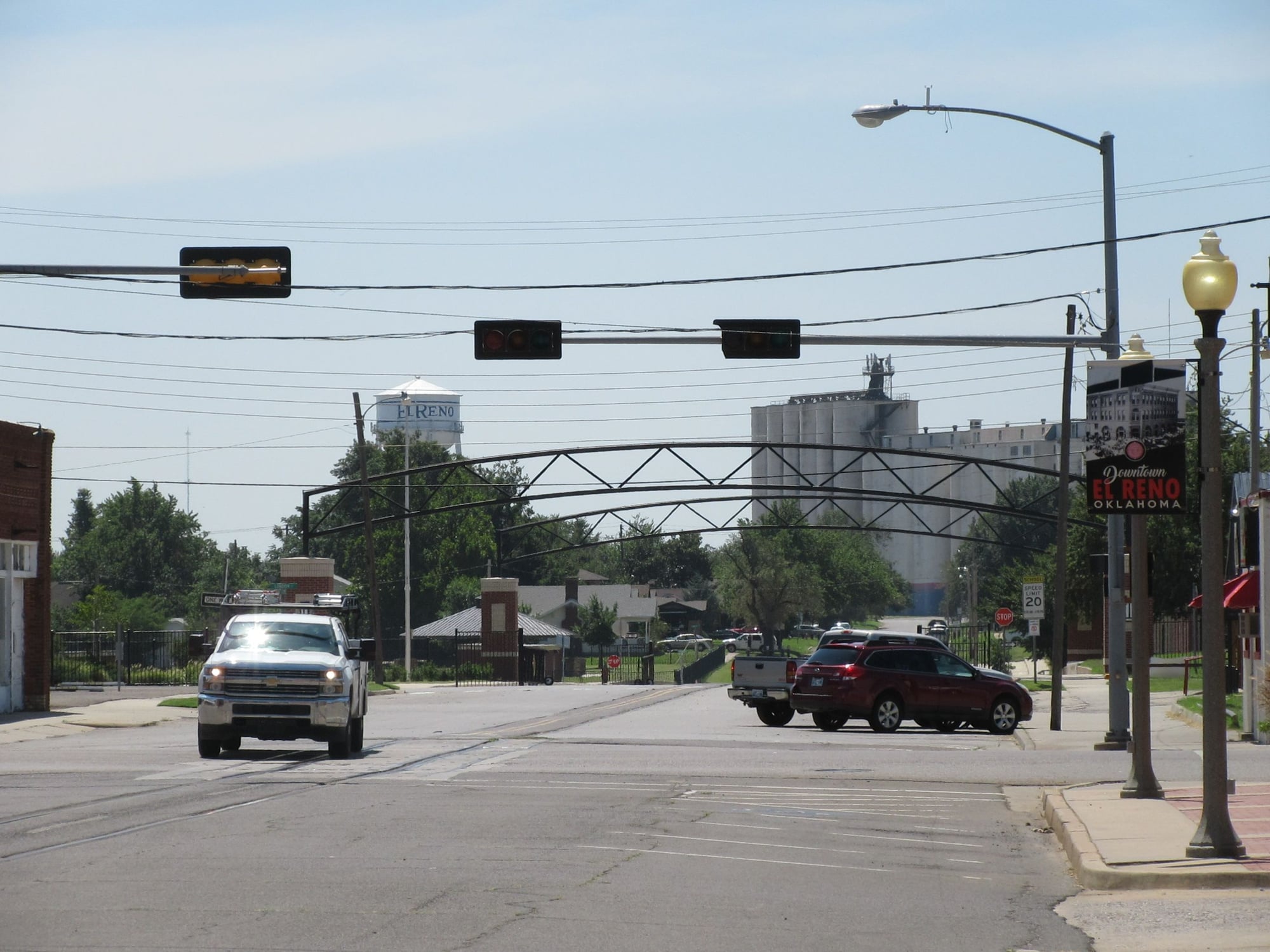
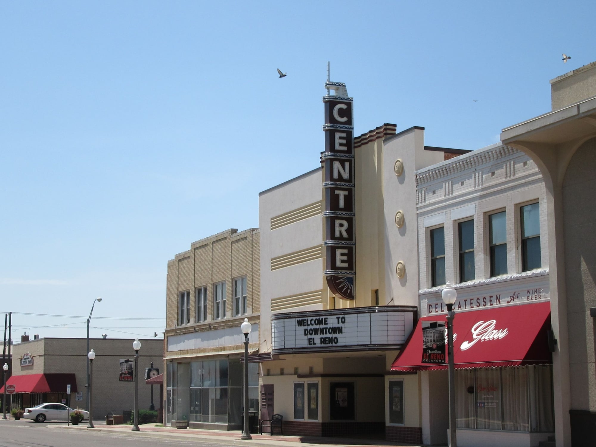
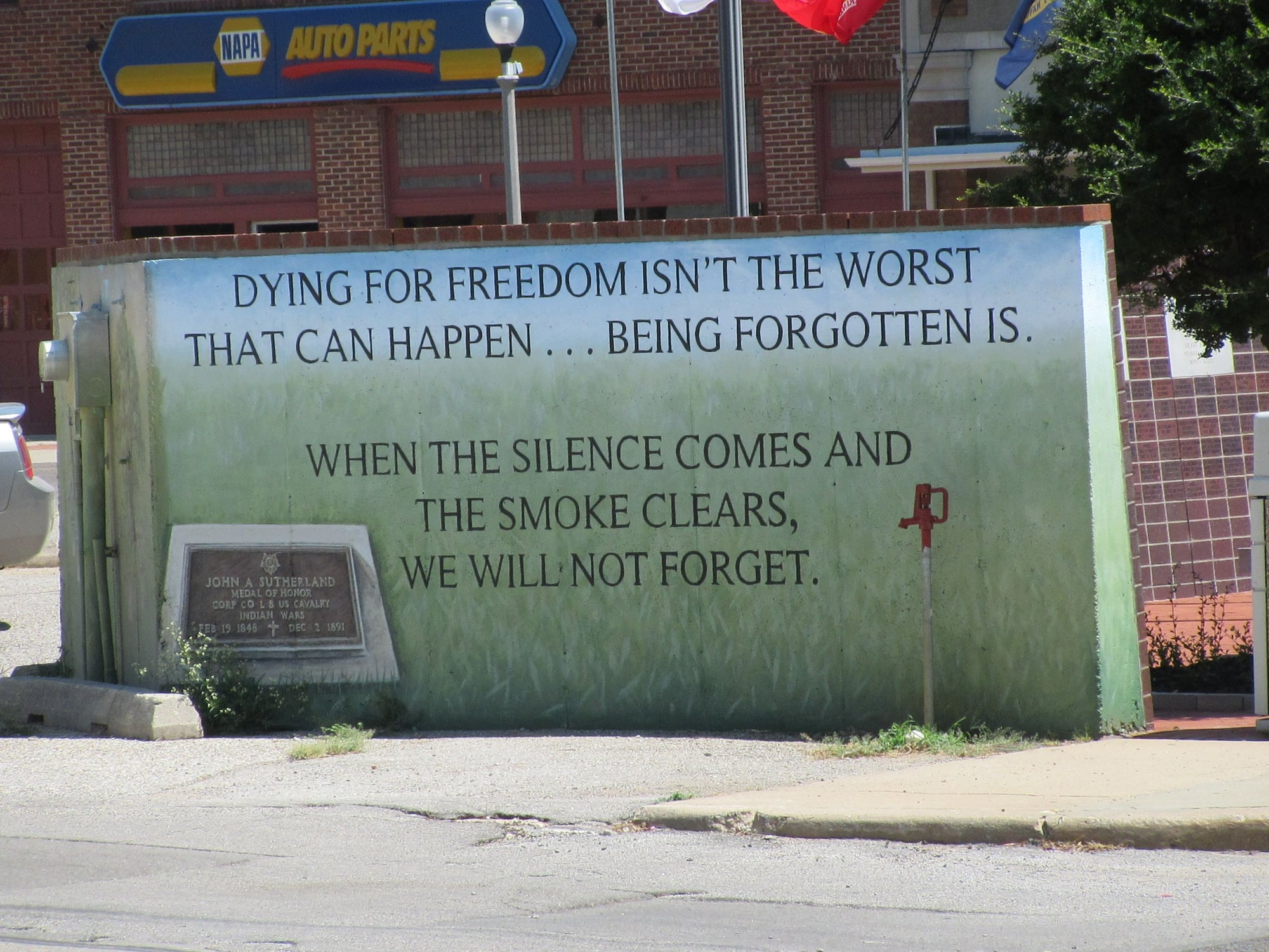
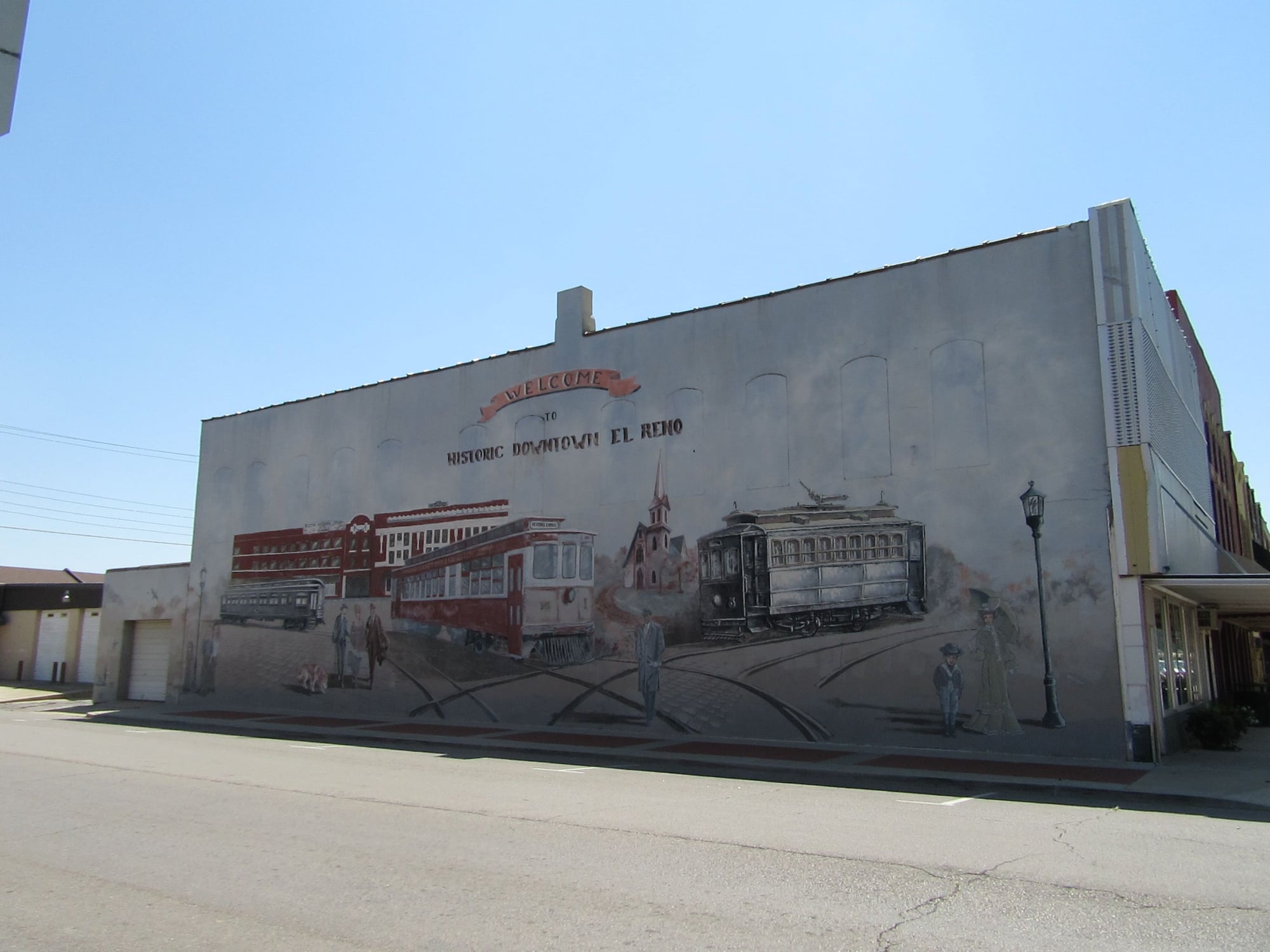
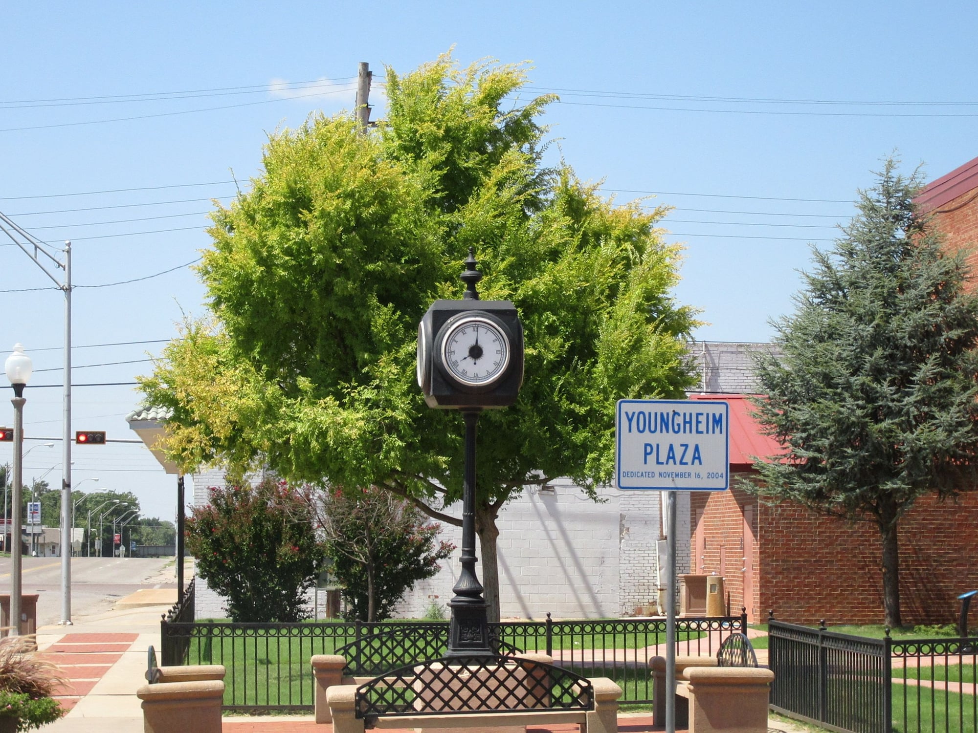
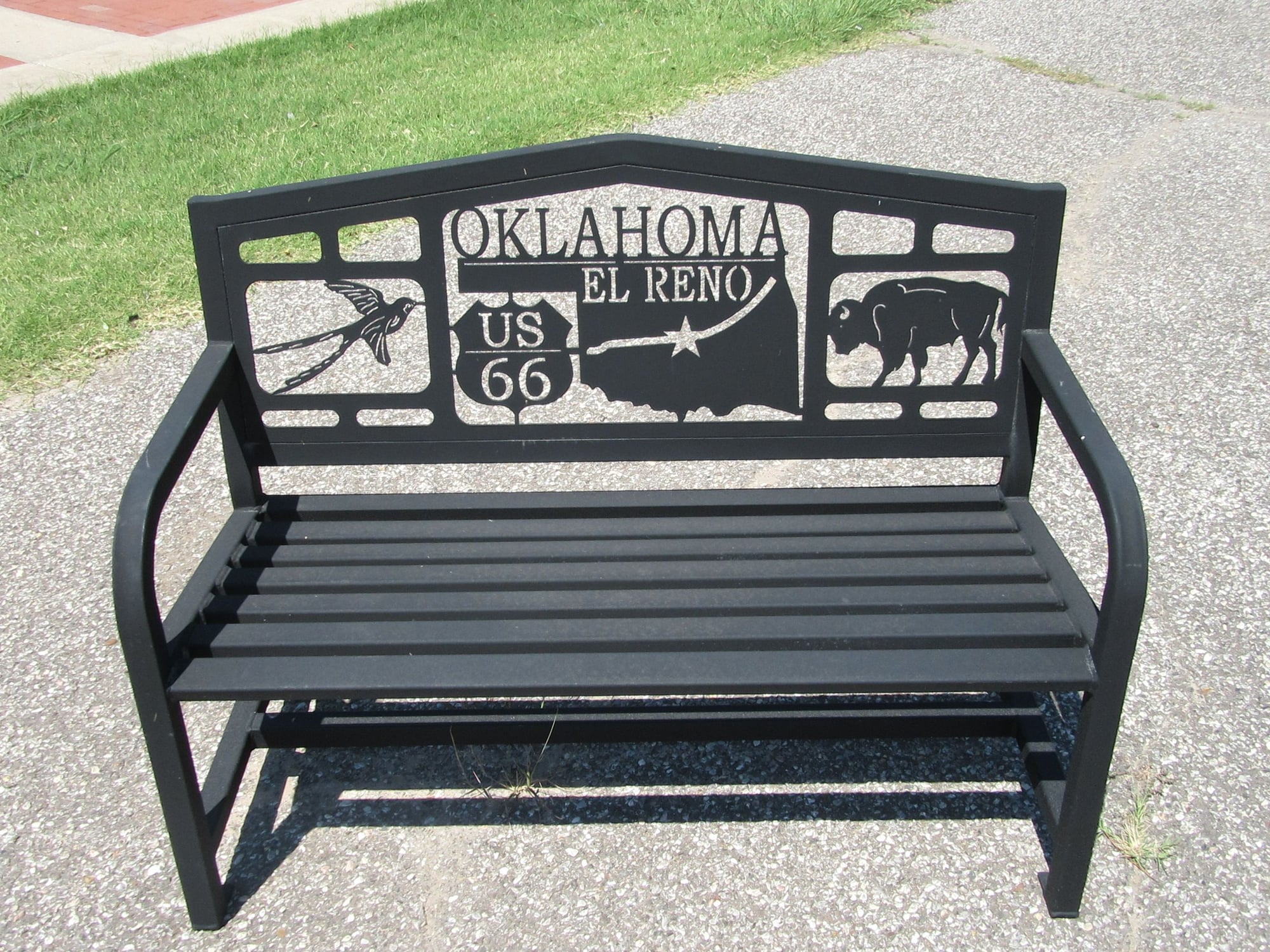
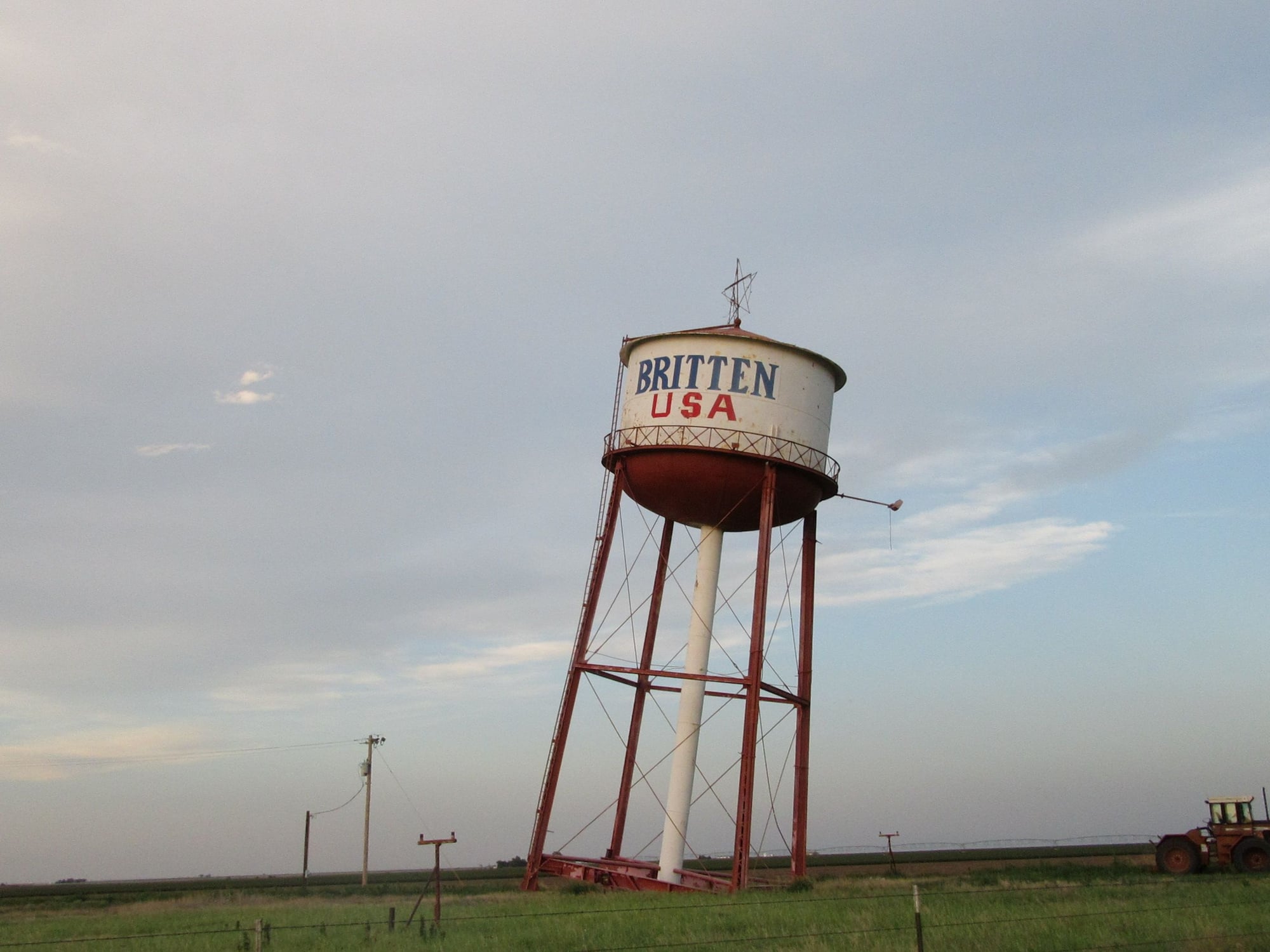
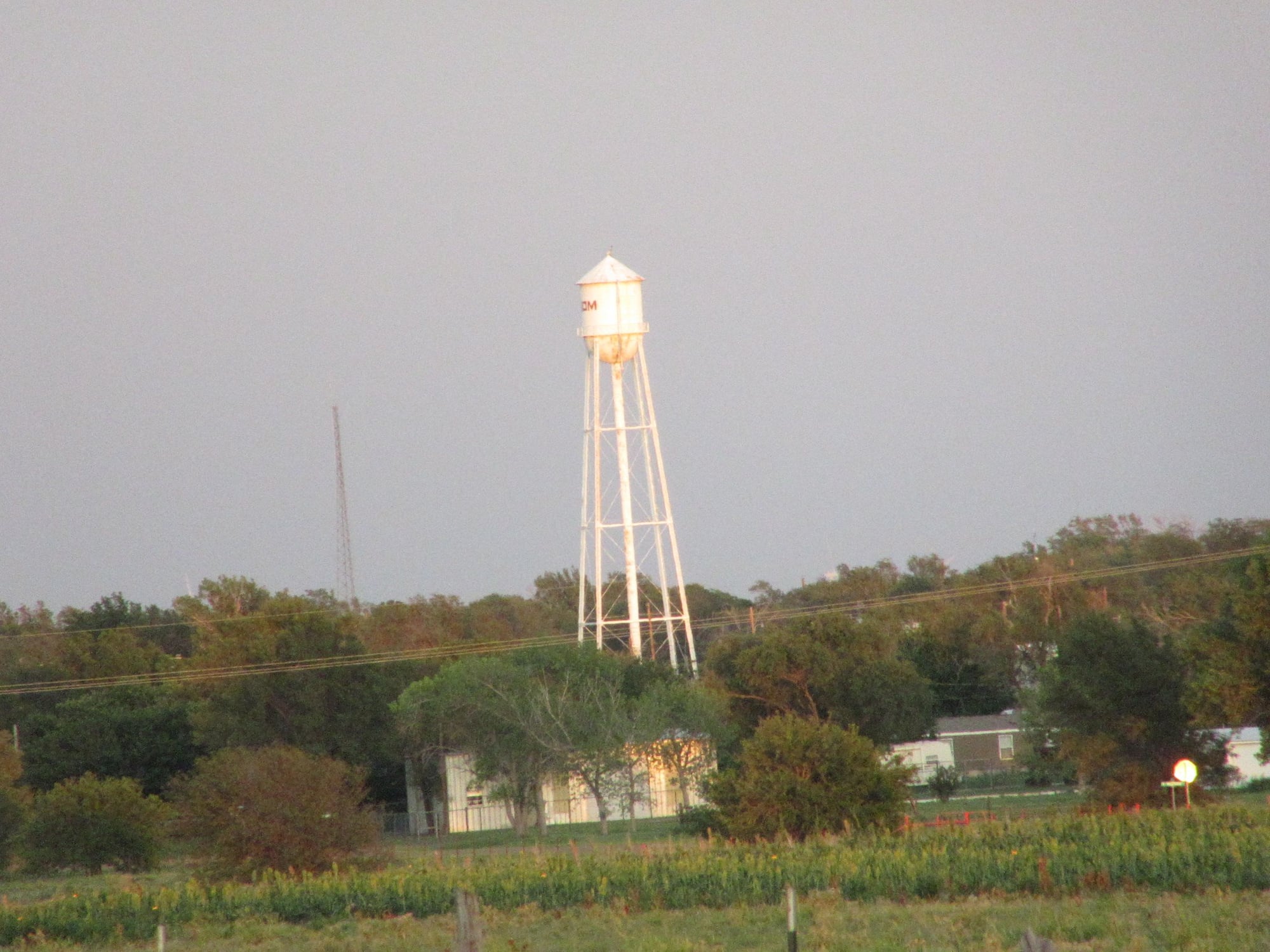
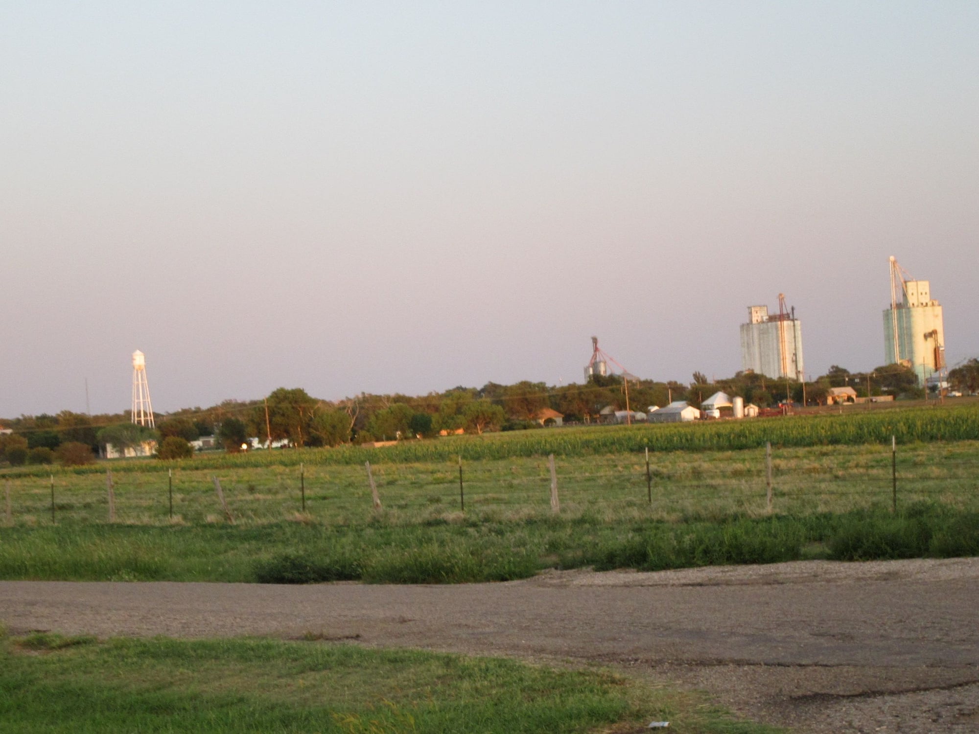
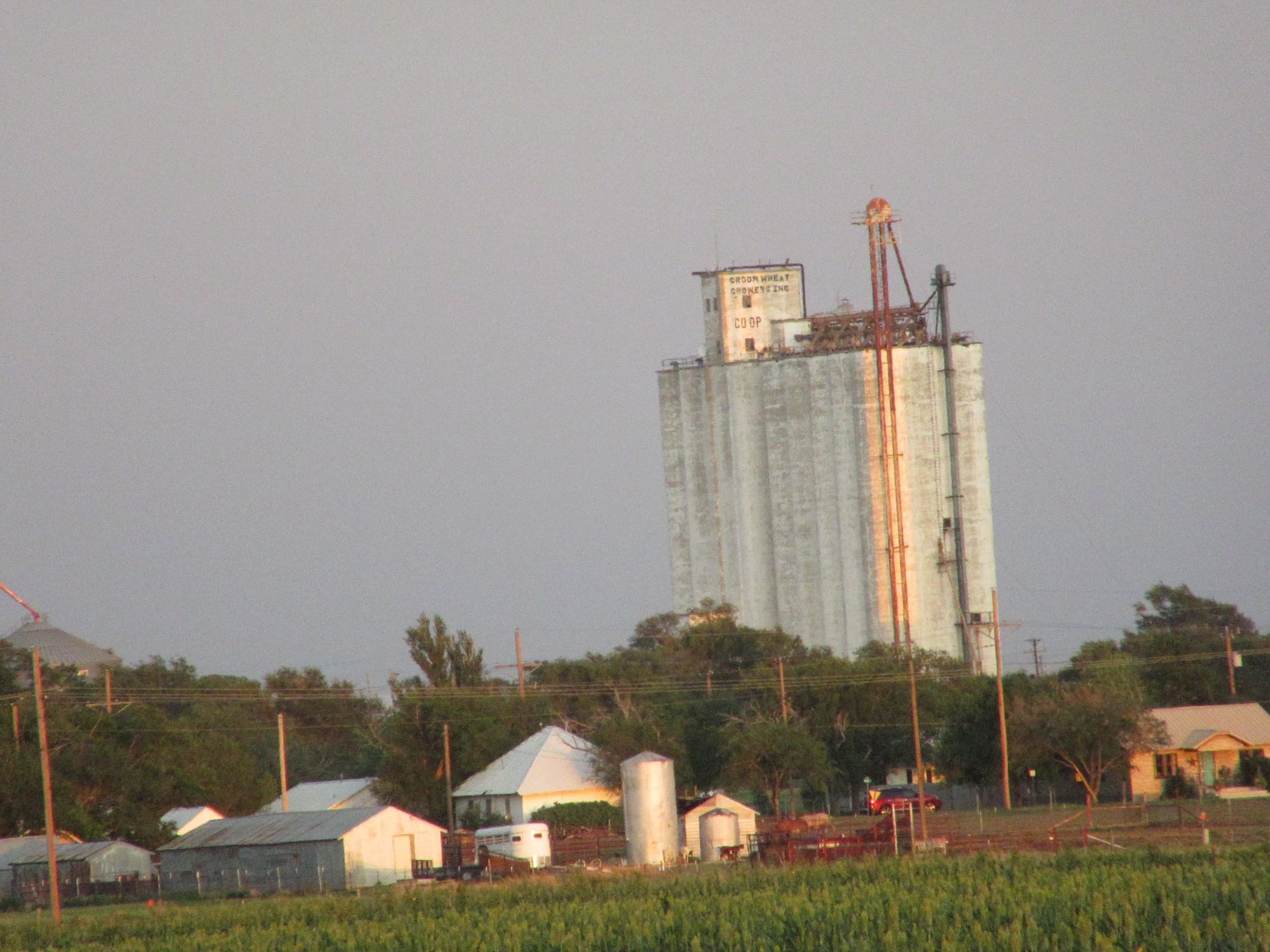
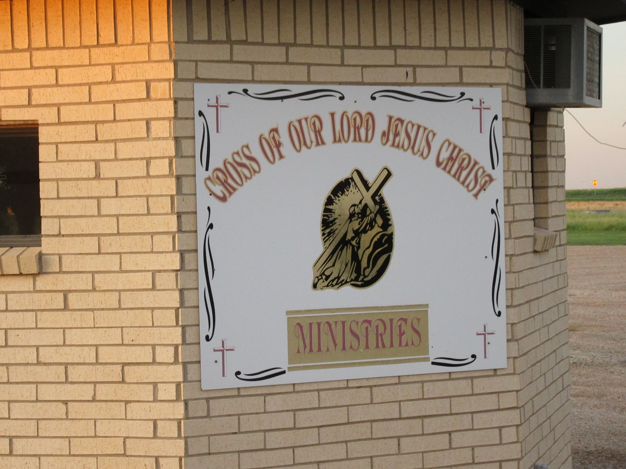
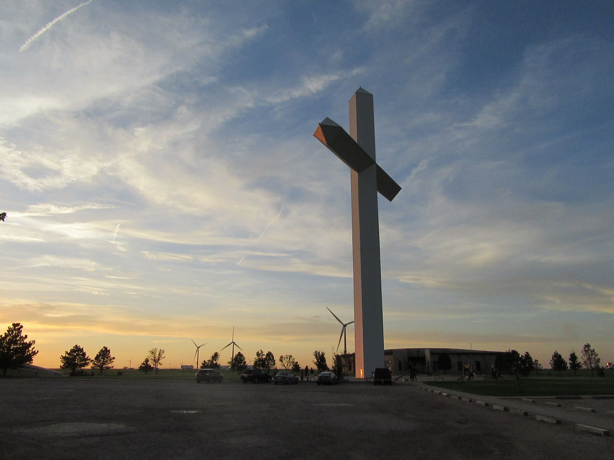
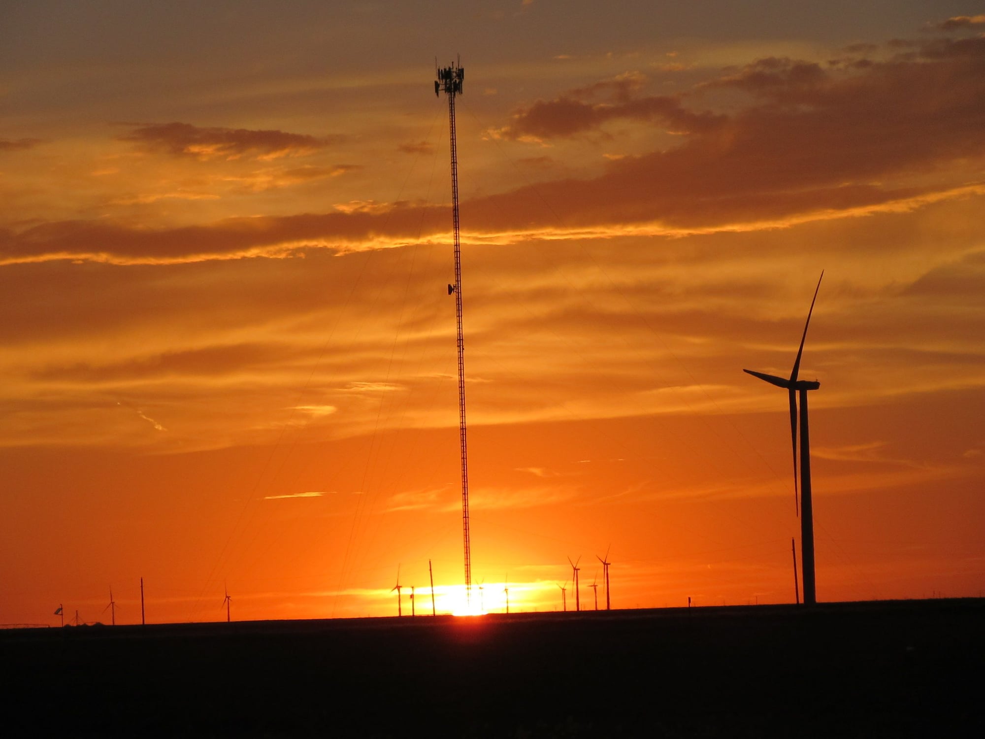
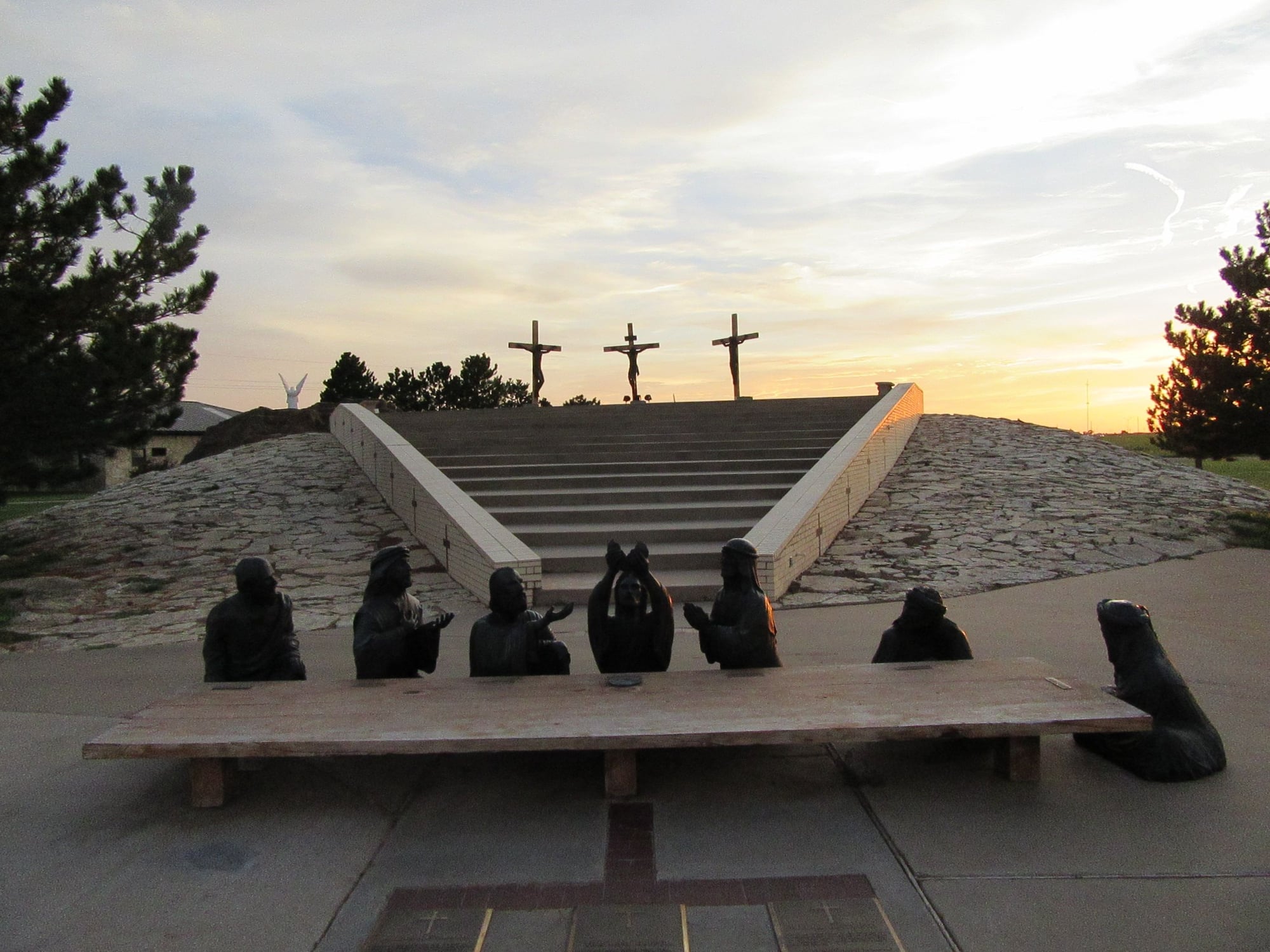
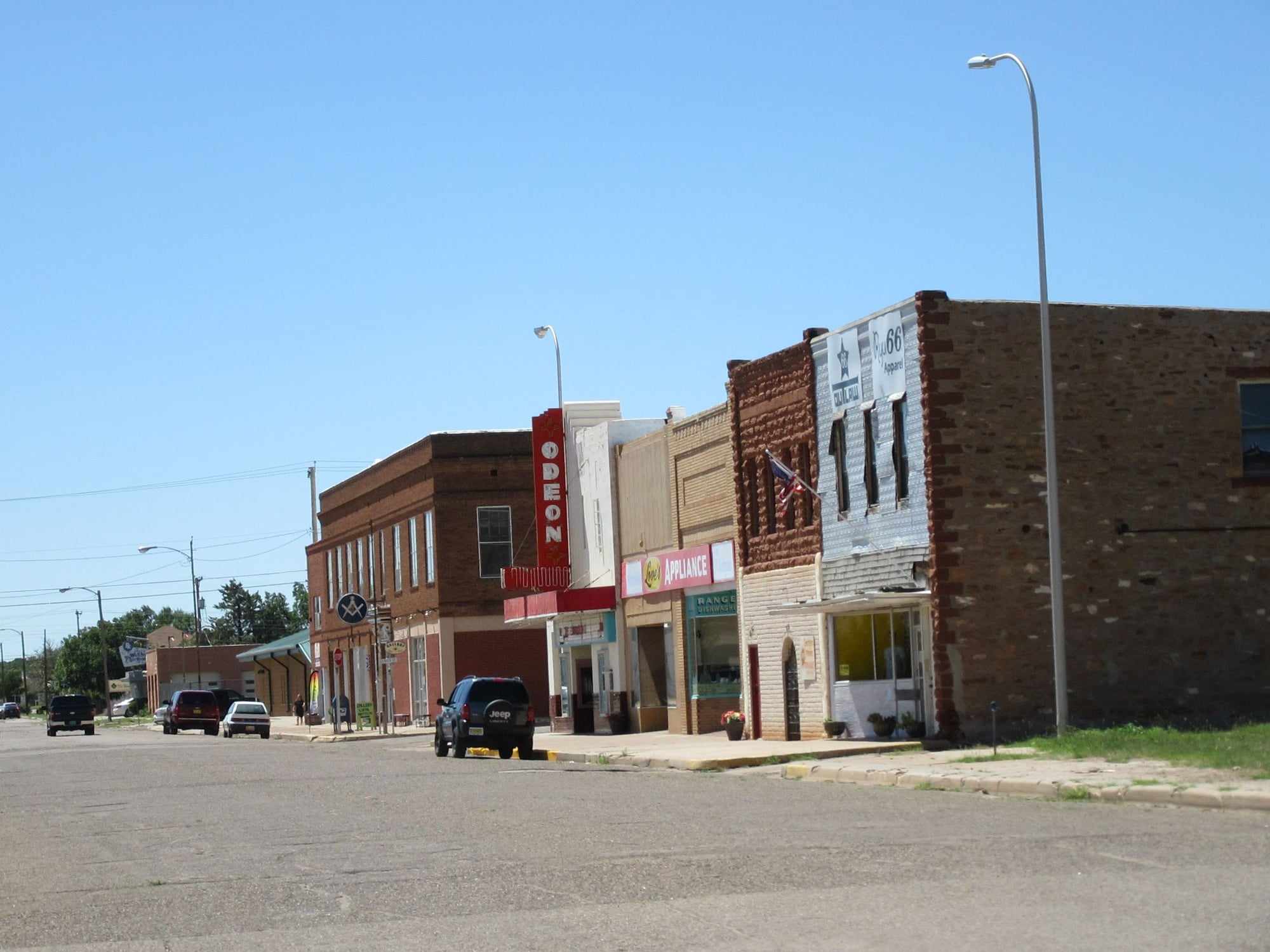
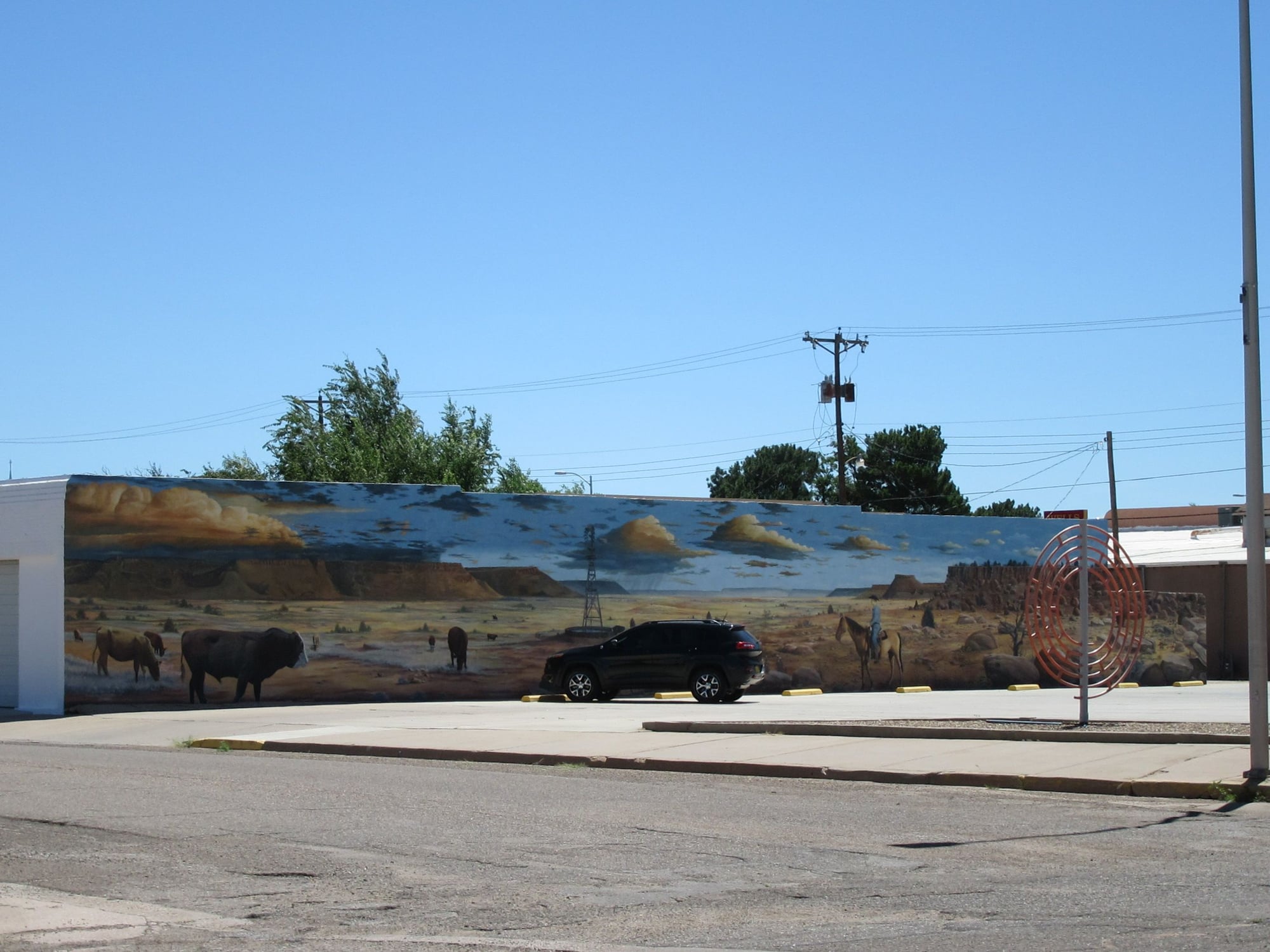
Sunday I awoke to a hot day with winds from the south. I stopped in El Reno, OK and took some pictures of the historic downtown and Route 66. I proceeded to Hinton, OK where I had midday rations at Sonic. I continued west and took on fuel in Sayre, OK before entering Texas. It got up to 100F in Shamrock, TX. I stopped in Groom, TX and took a picture of the Leaning Tower of Groom before heading to the Cross where I took some pictures at sunset. I went through Amarillo and stopped in Vega, TX to take on fuel before entering the state of New Mexico. I stopped at the Port of Entry in San Jon, NM and got Trip Permit before heading to Tucumcari, NM where I spent the night.
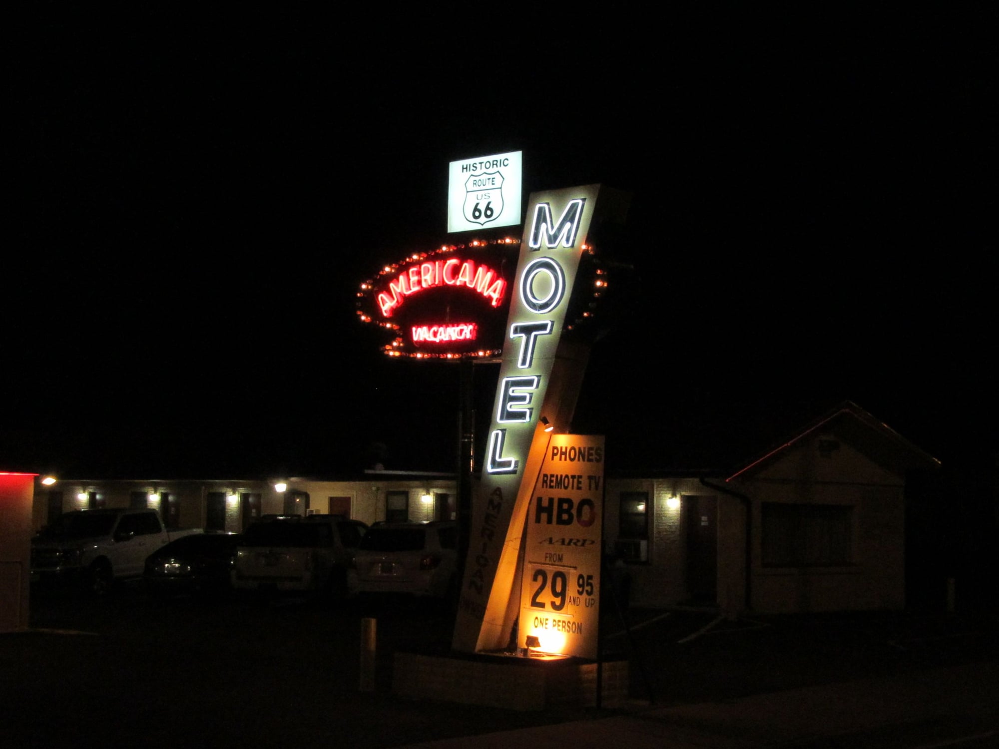
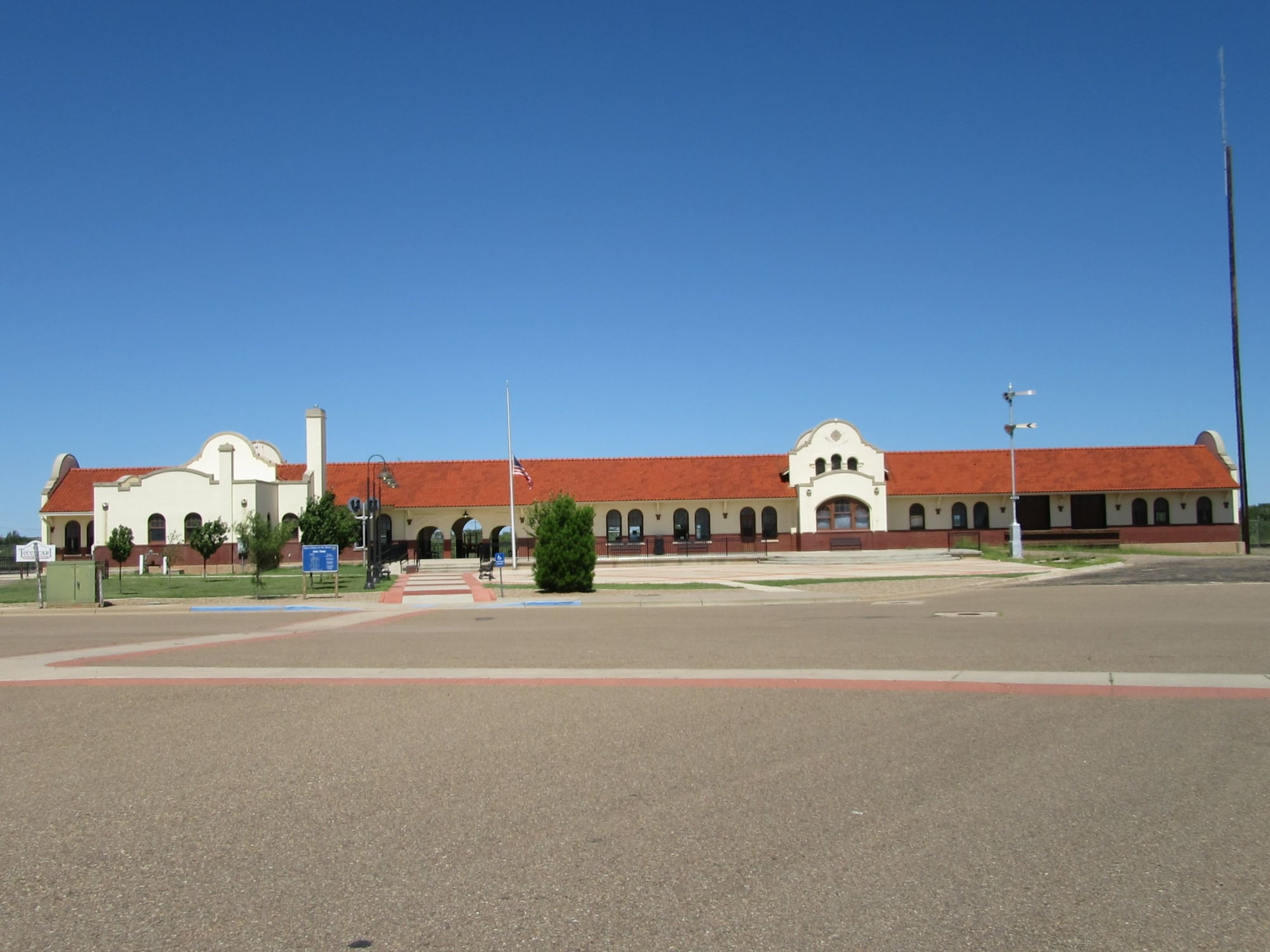
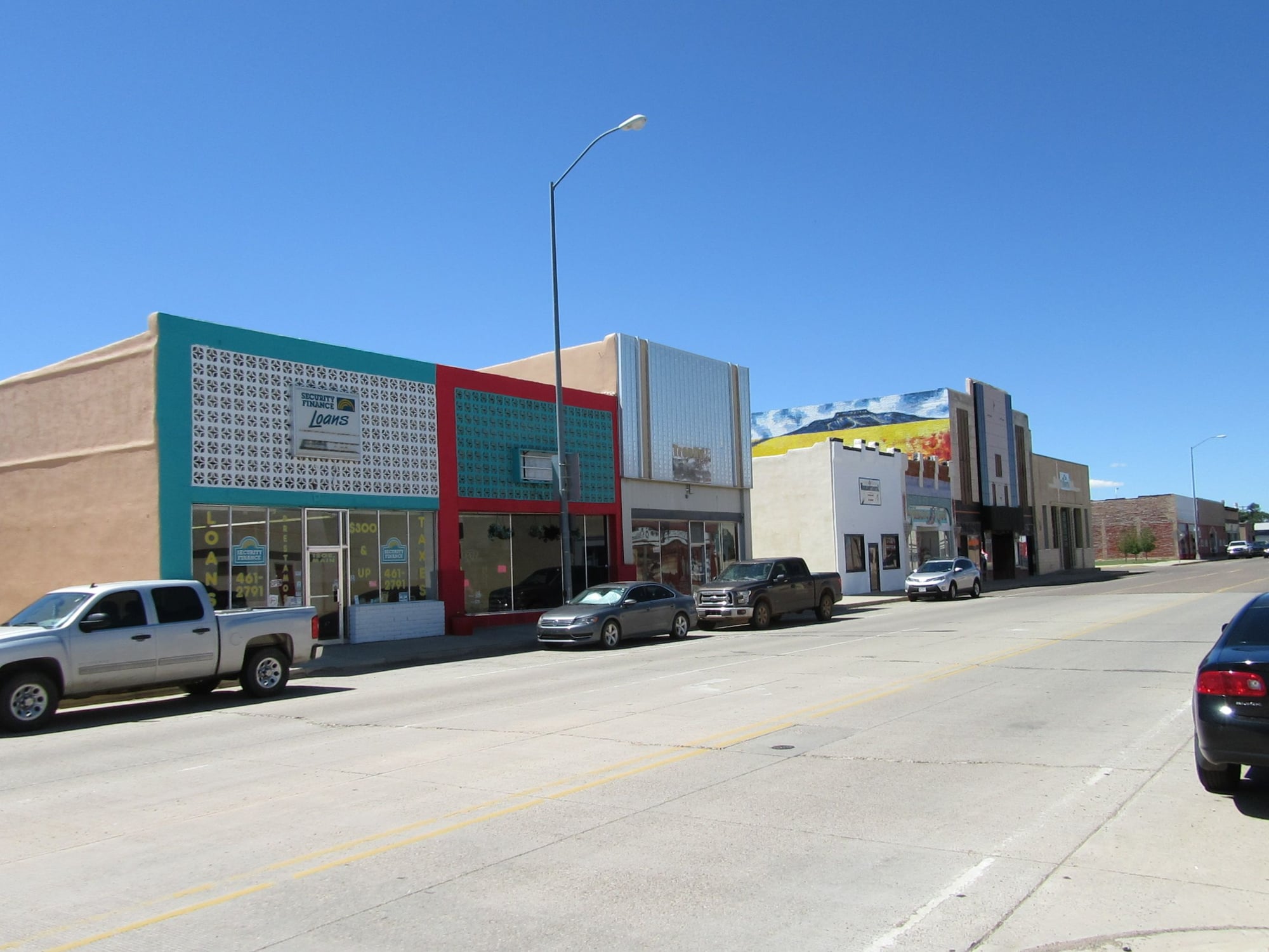
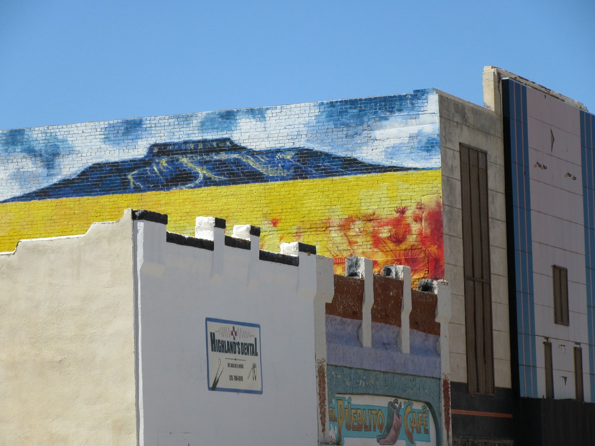
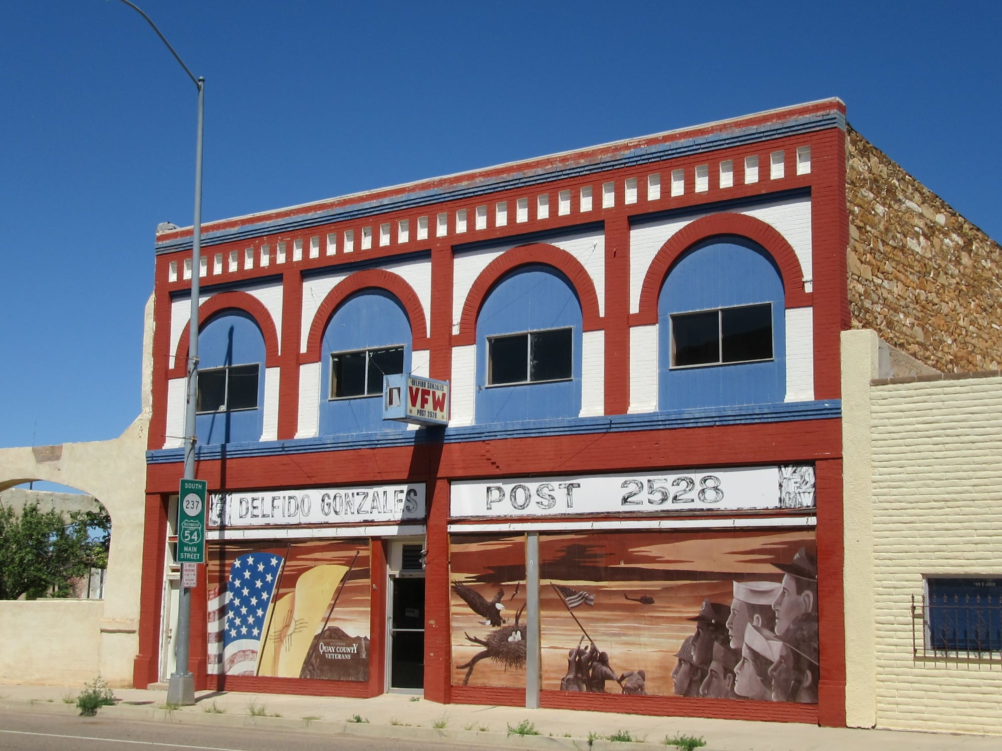
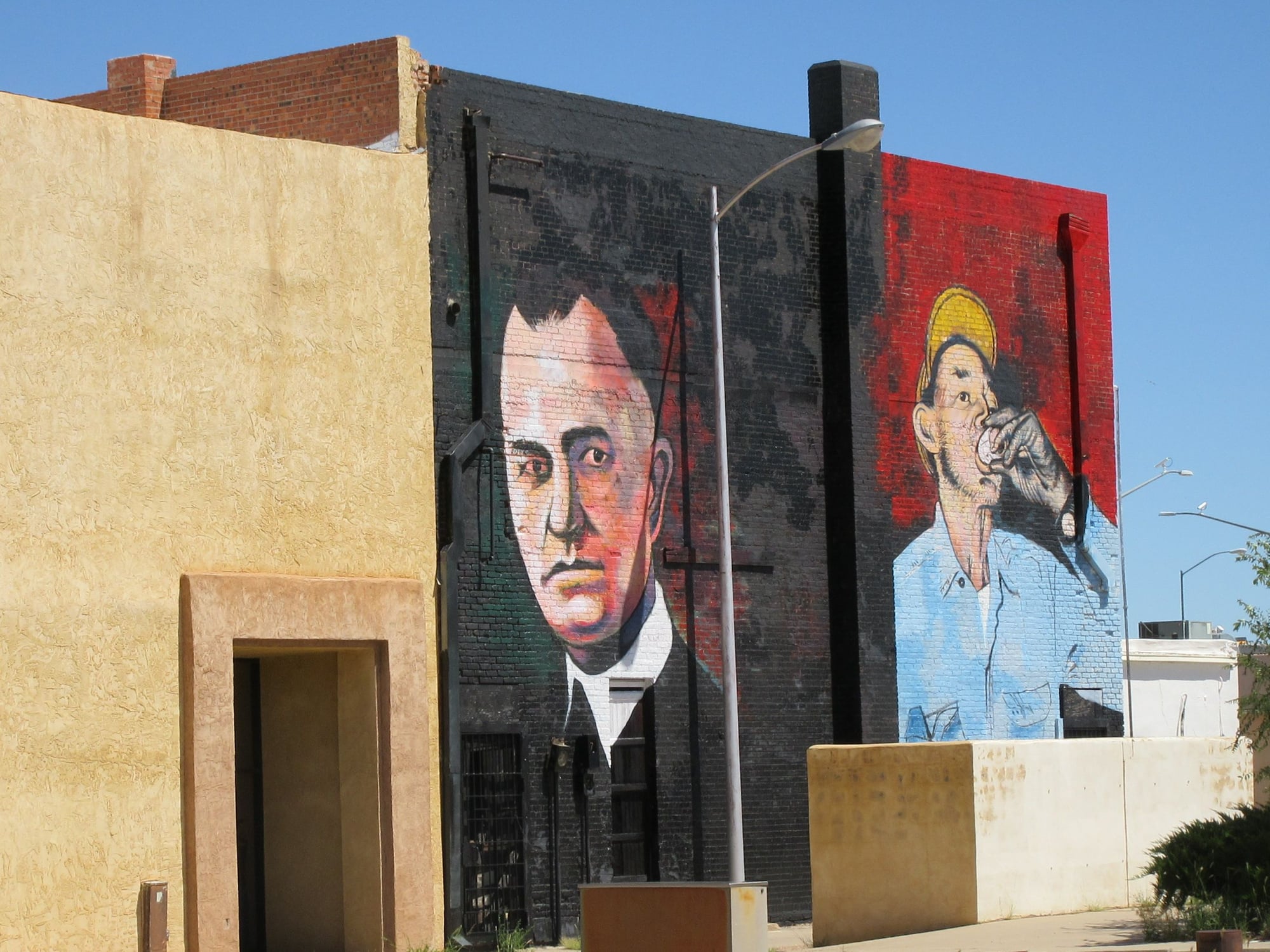
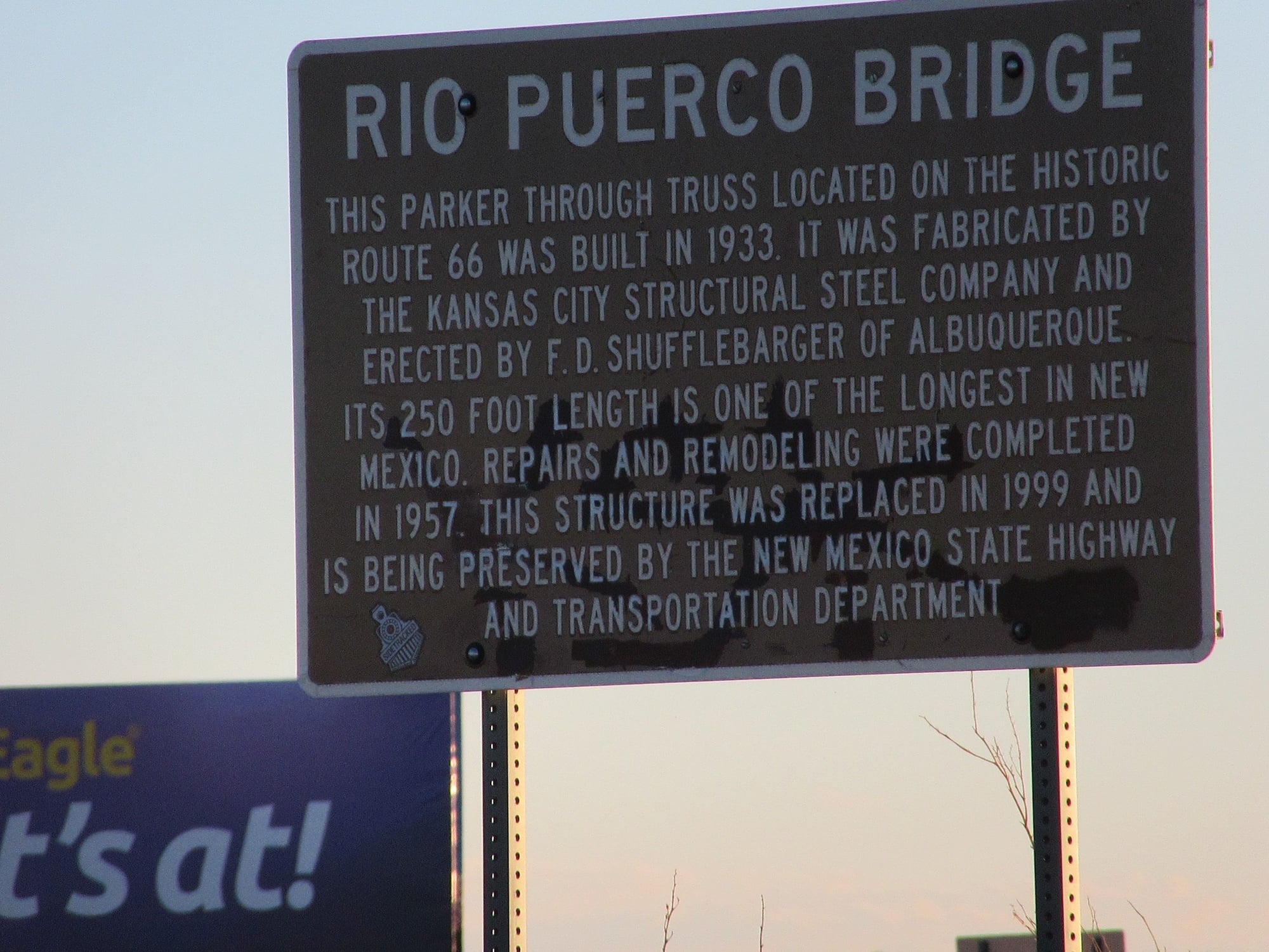
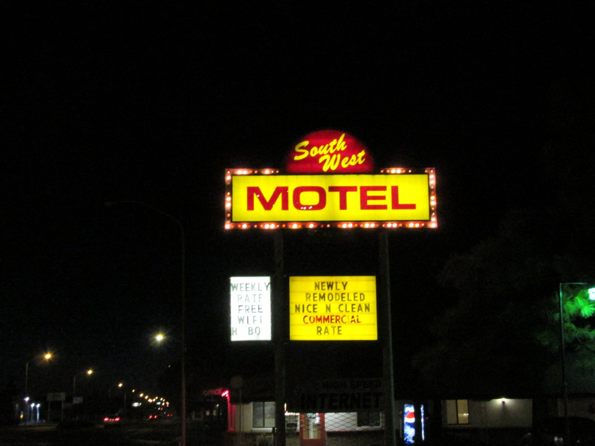
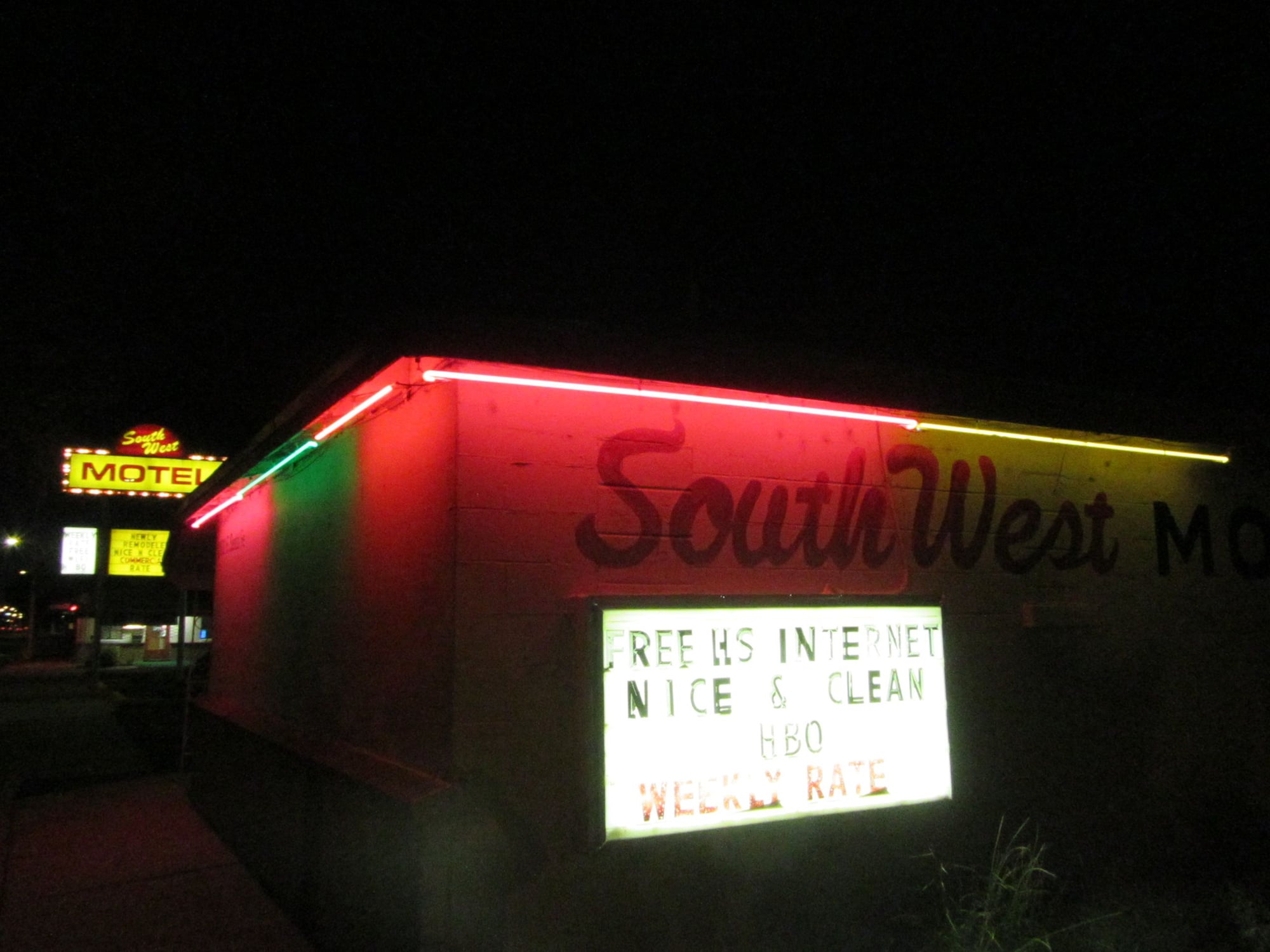
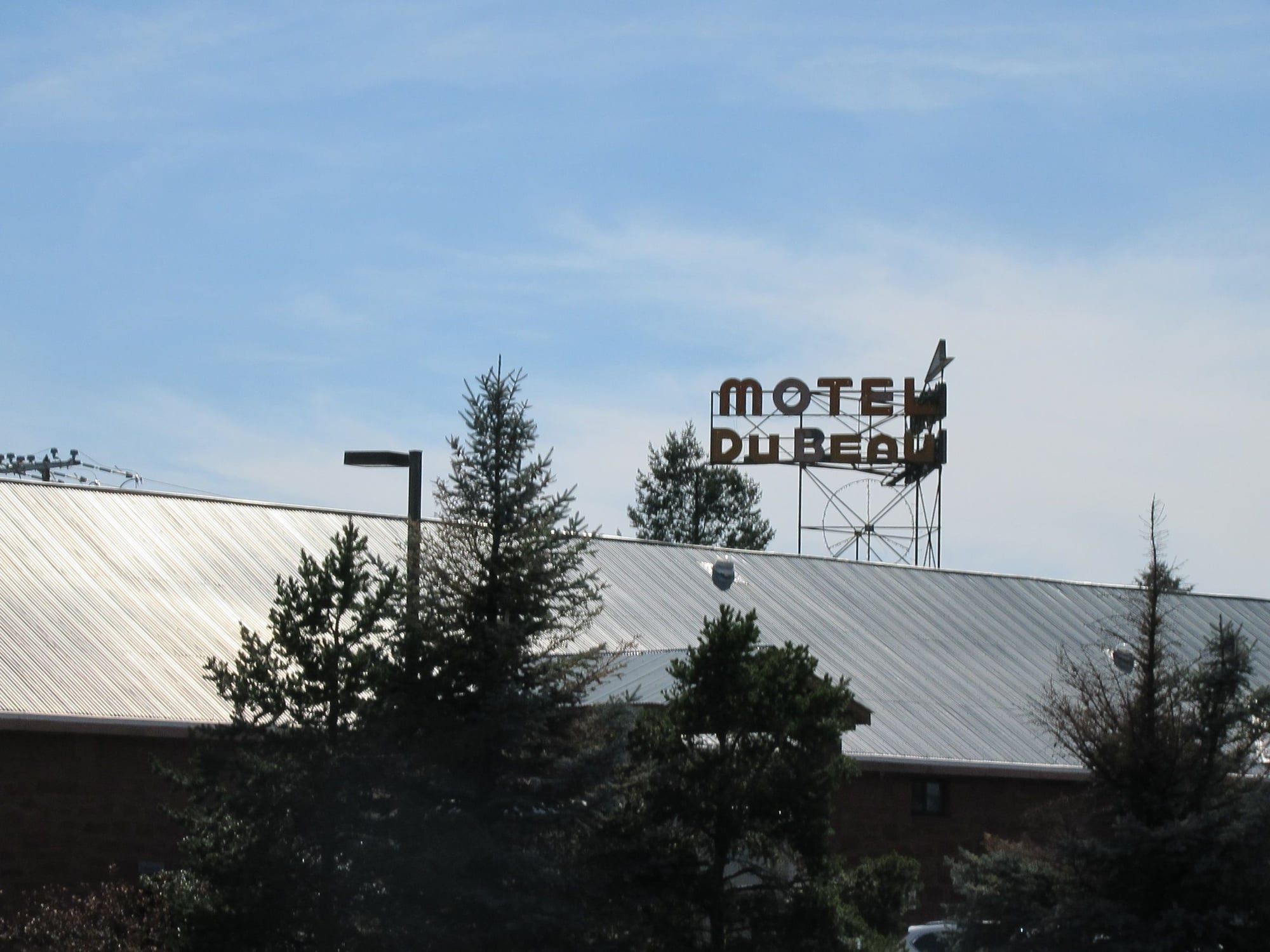
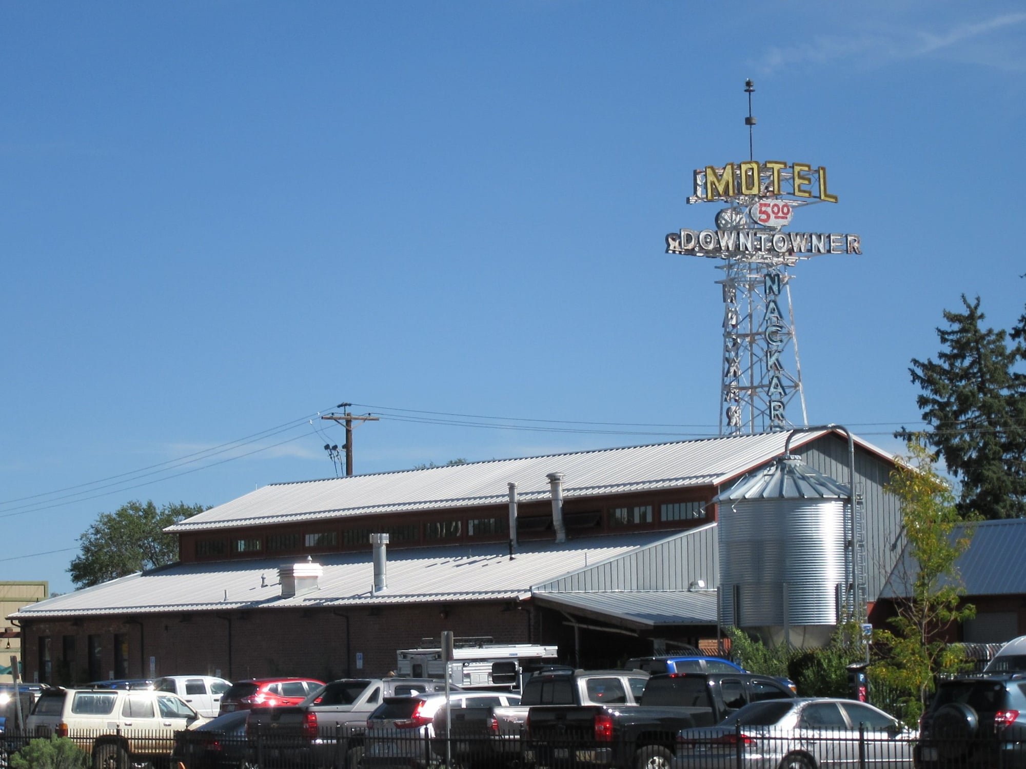
Monday it was warm but not as windy. I stopped at the post office to mail something then took some pictures of downtown Tucumcari before heading west. I stopped in Santa Rosa, NM for midday rations then headed to Moriarty, NM where I took on fuel and learned there was a major crash on the westbound 40 in Albuquerque resulting in the blockage of three lanes. I spent some time in Moriarty before continuing west and there was no evidence of a crash by the time I made it to Albuquerque. I stopped on the west side of Albuquerque for a pit stop and took pictures of the Rio Puerco Bridge. Then I continued to Grants where I had evening rations at Lotaburger and I took a few pictures of Route 66 at night with neon signs. I made it to Holbrook, AZ where I spent the night.
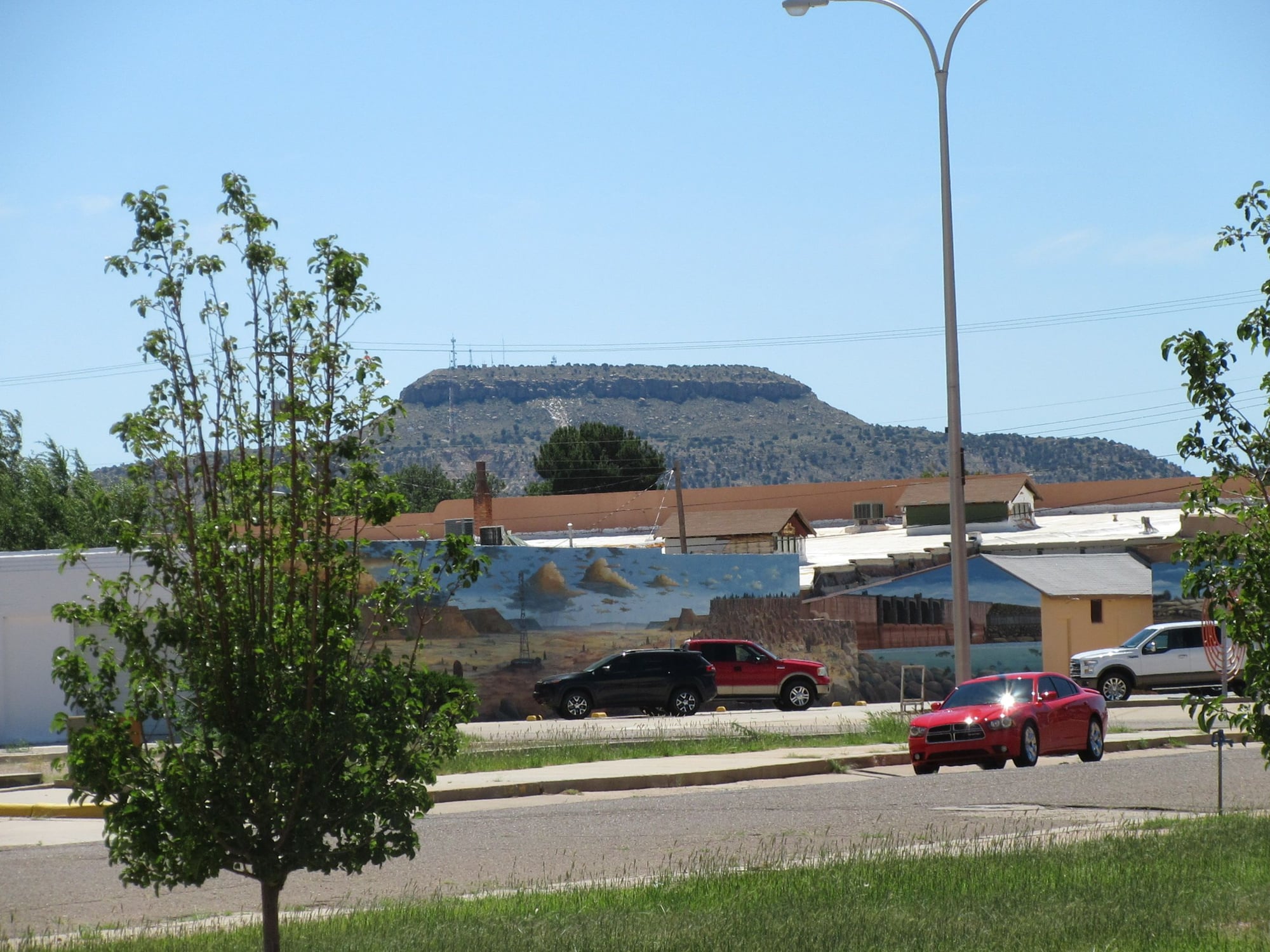
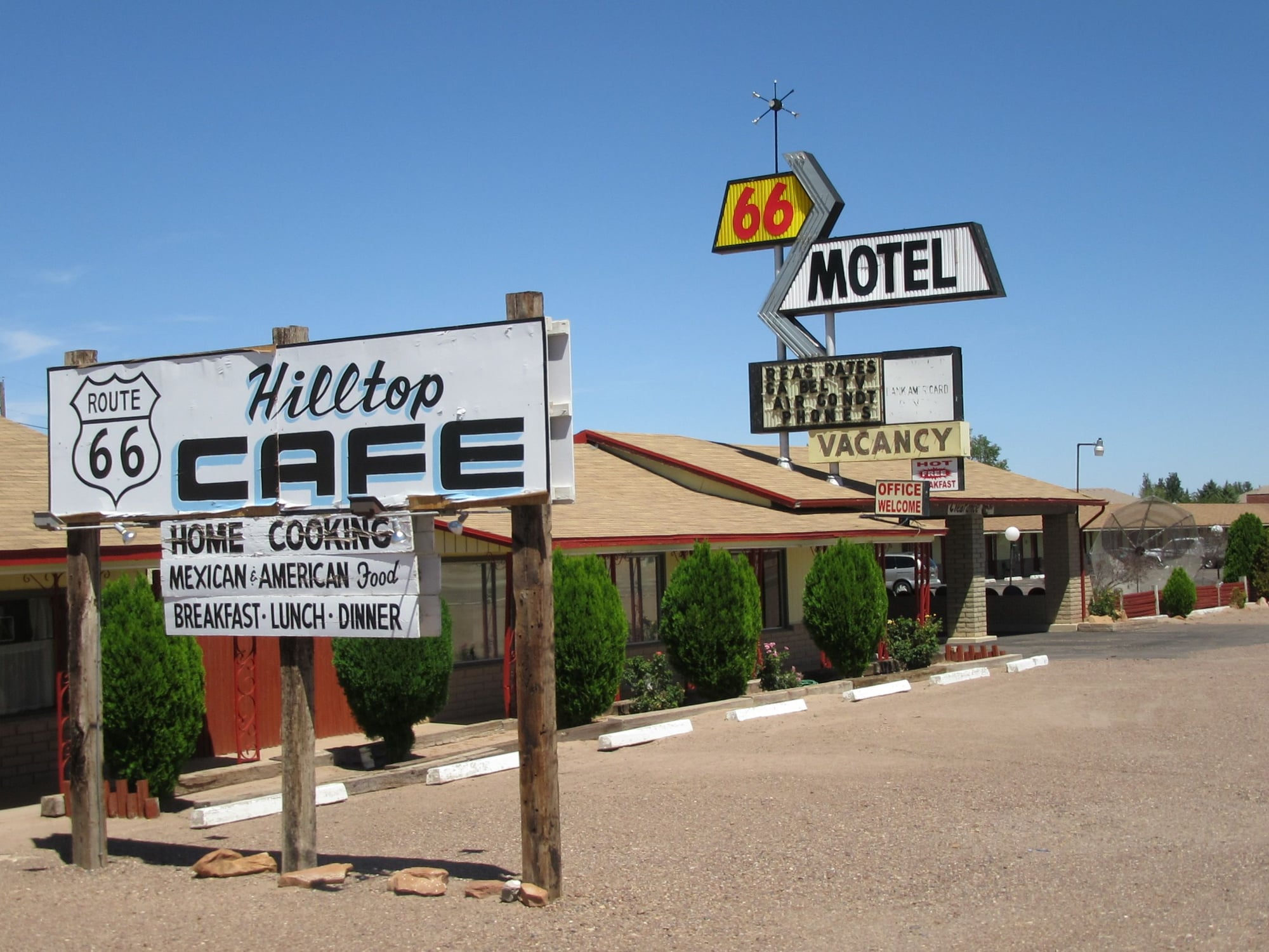
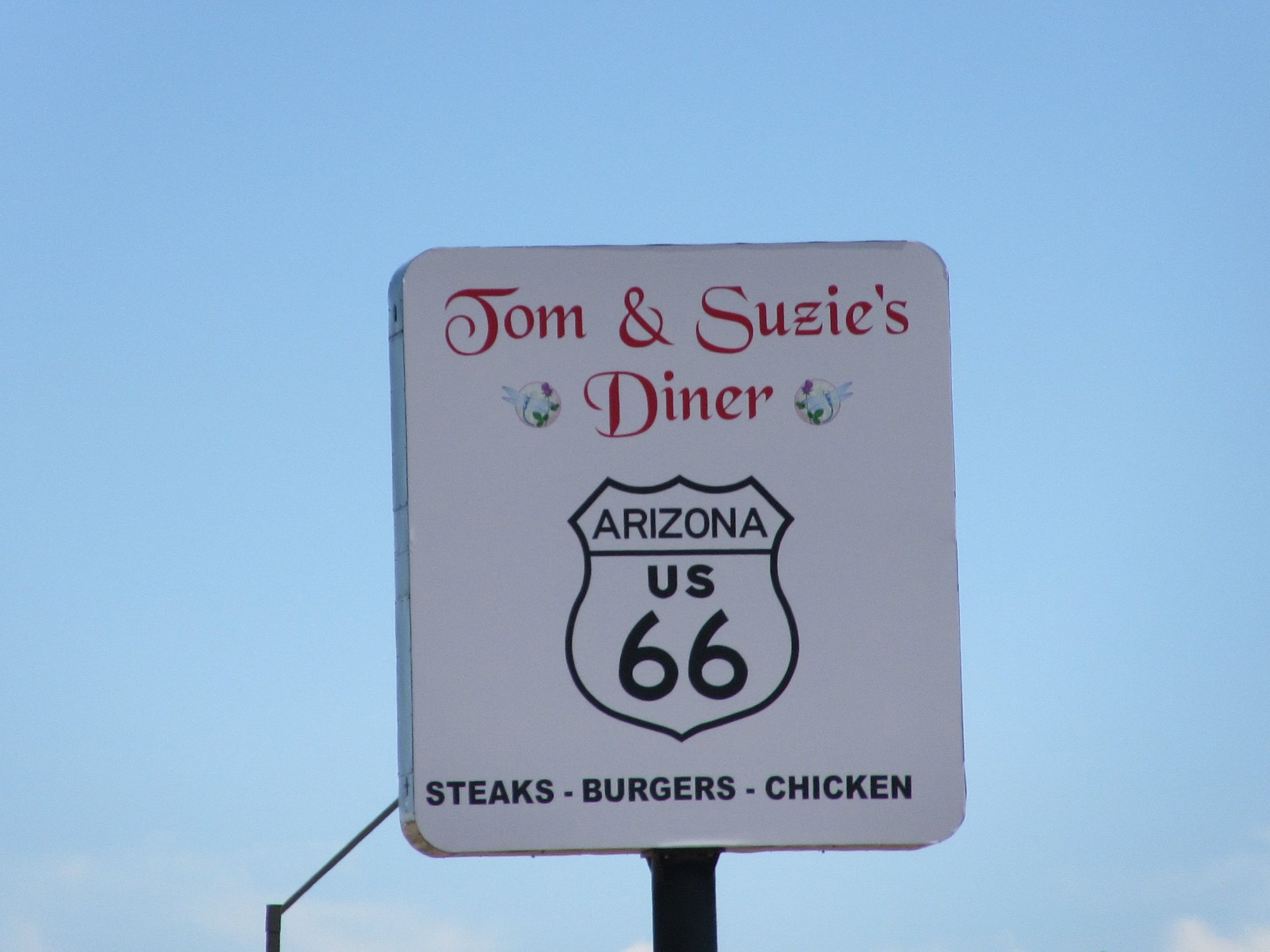
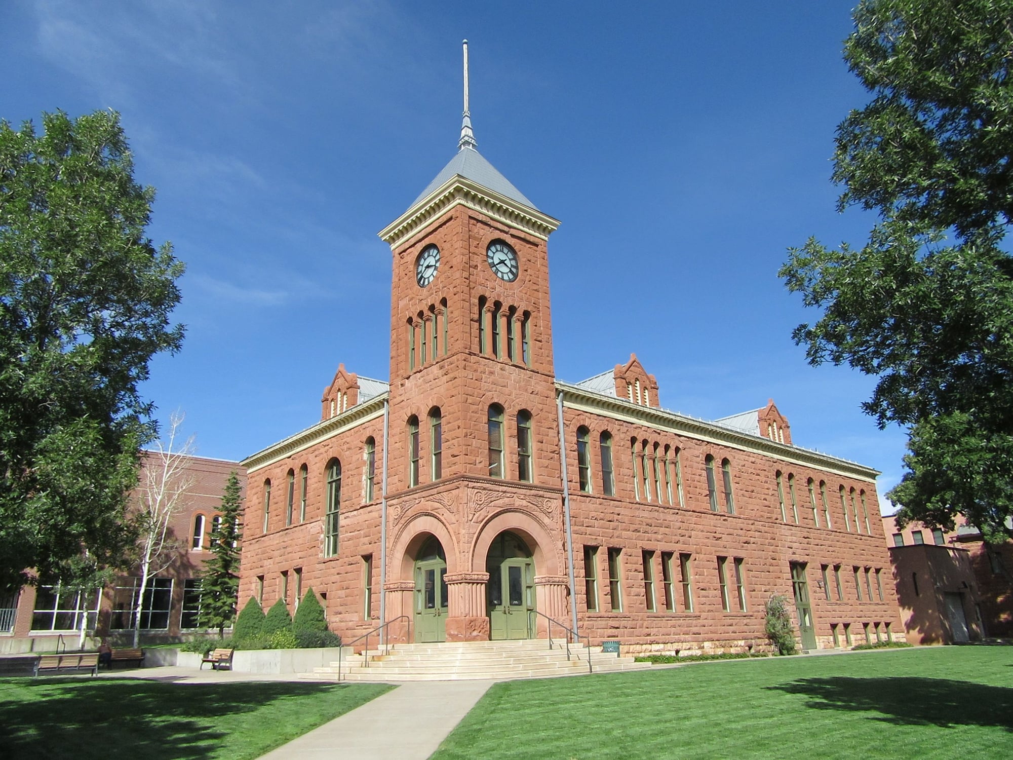
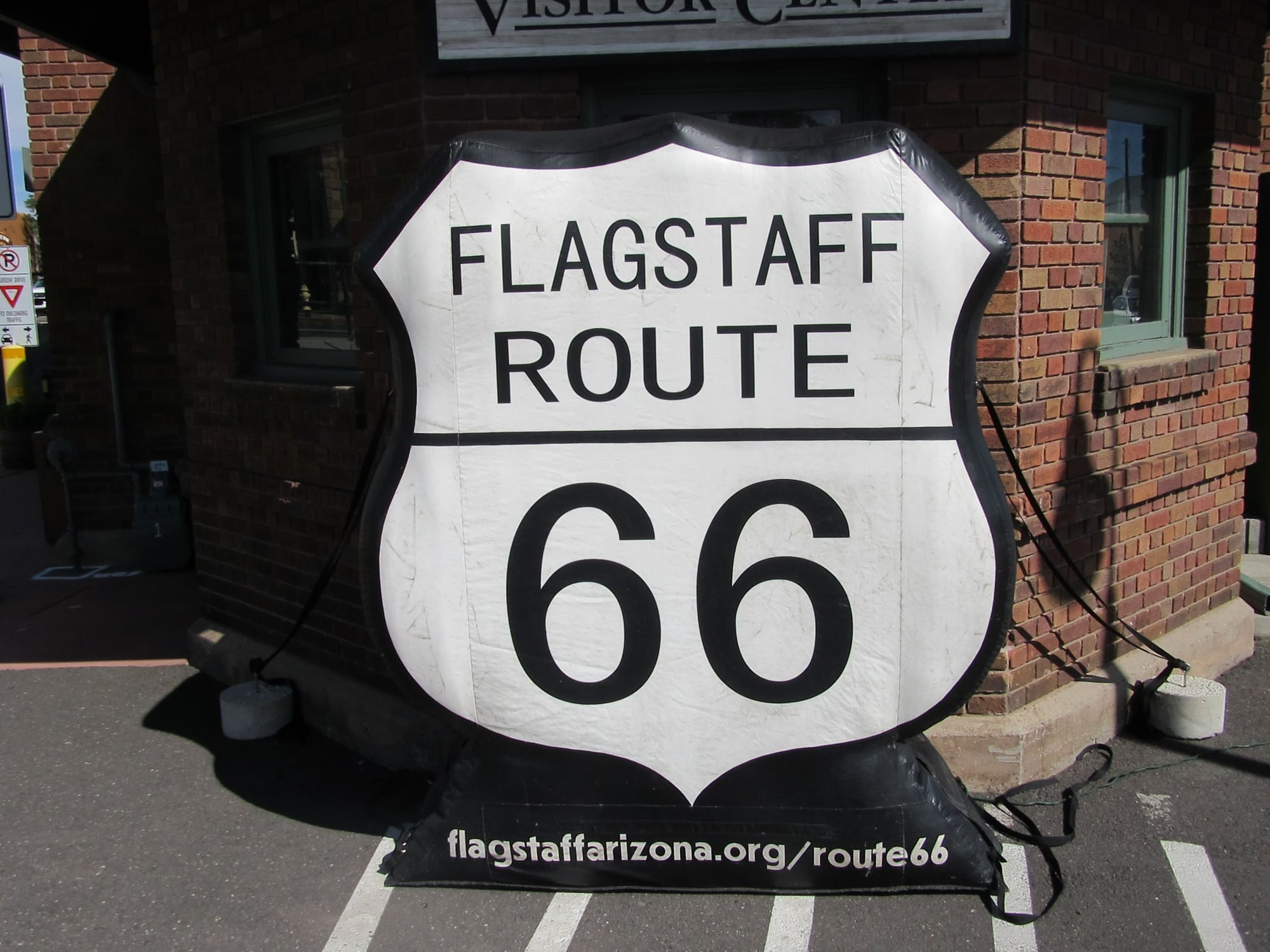
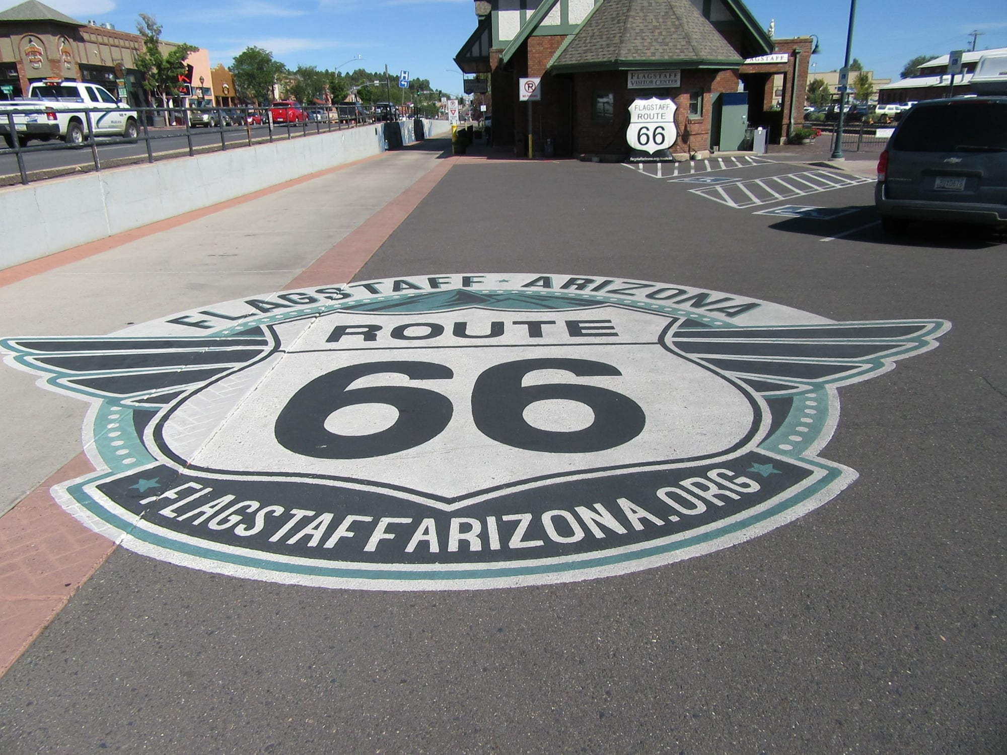
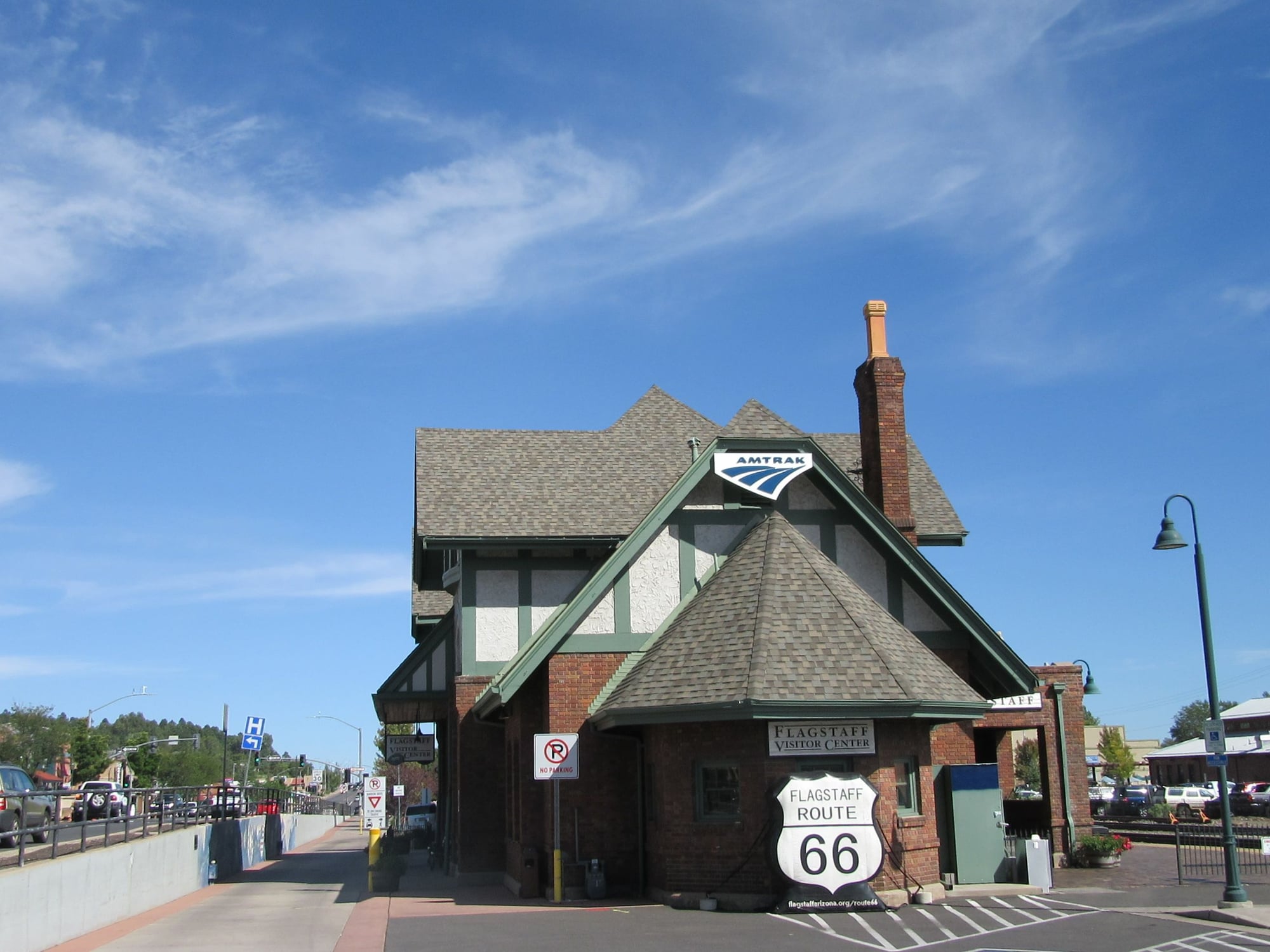
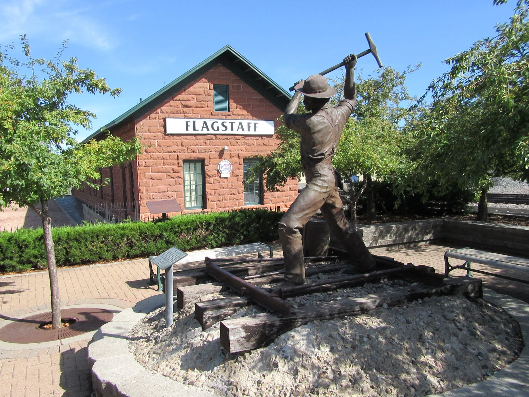
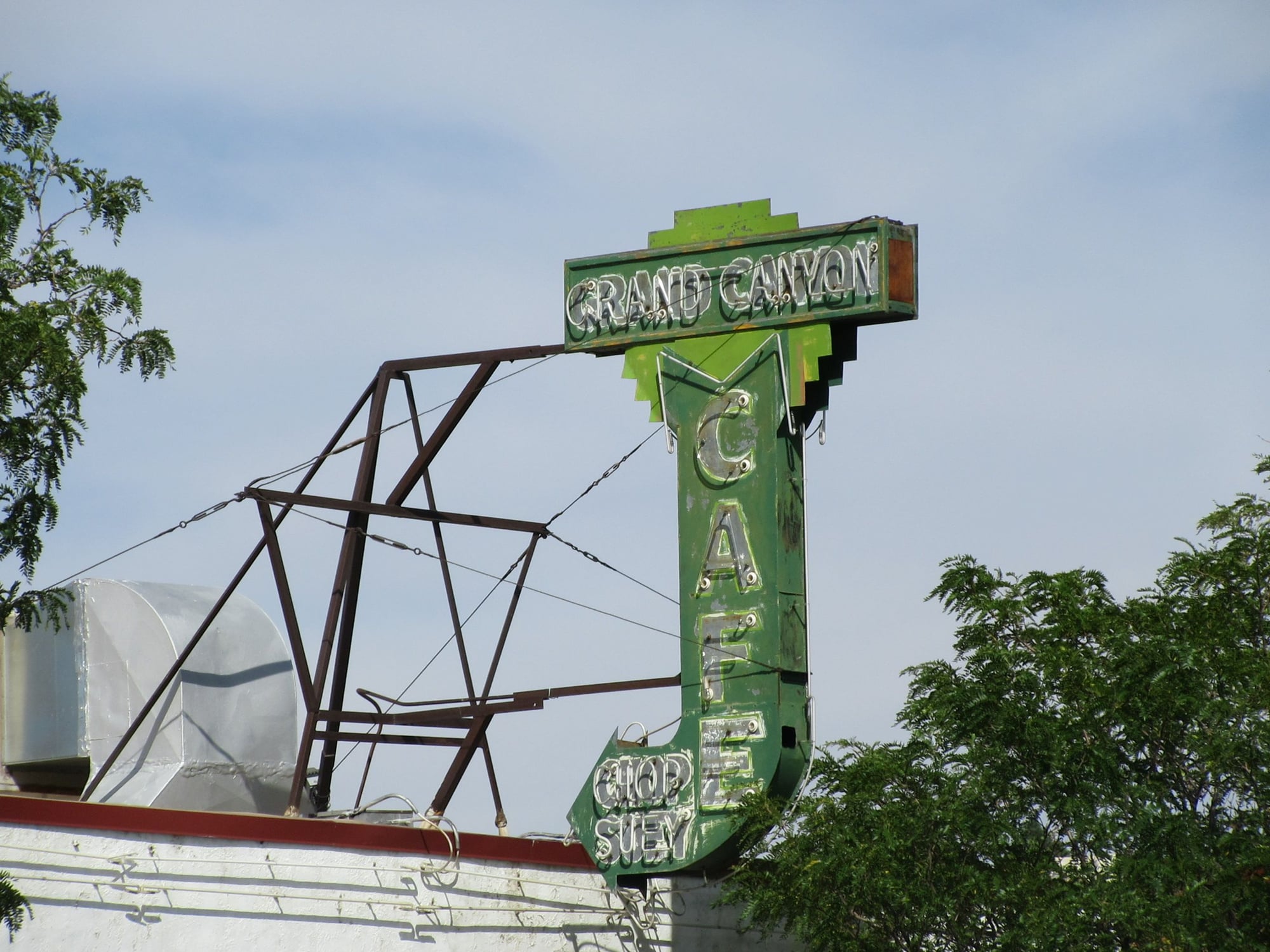
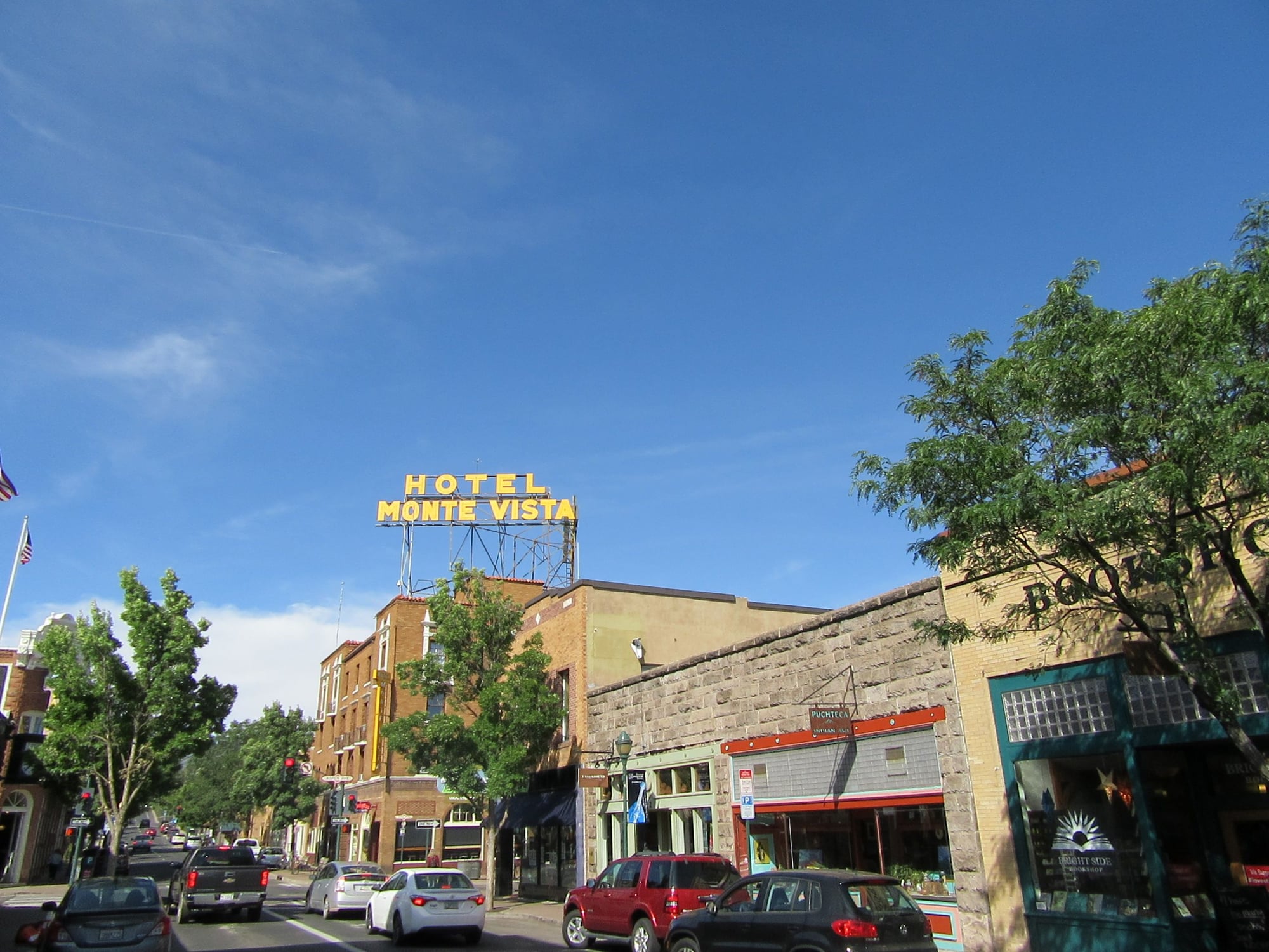
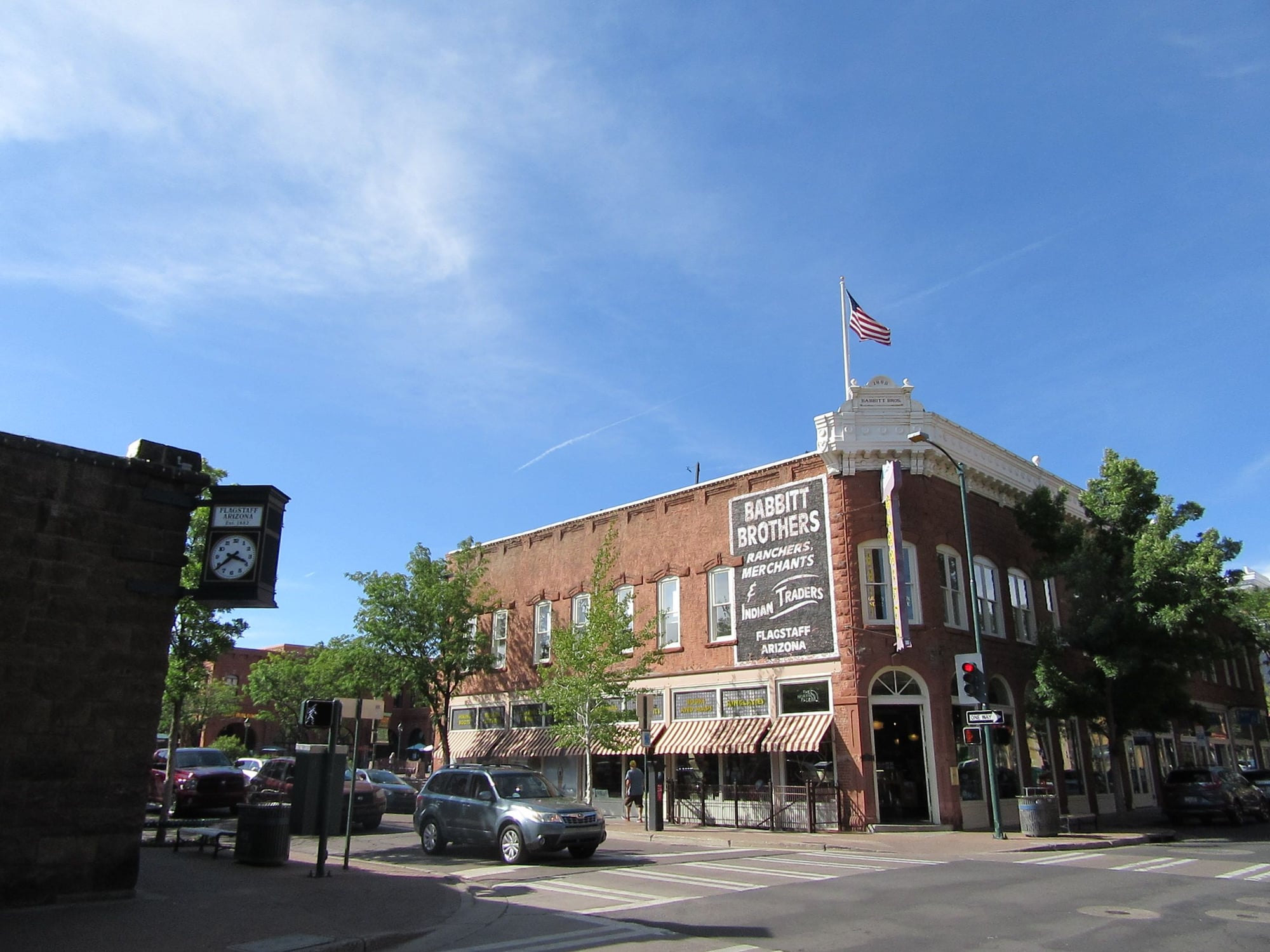
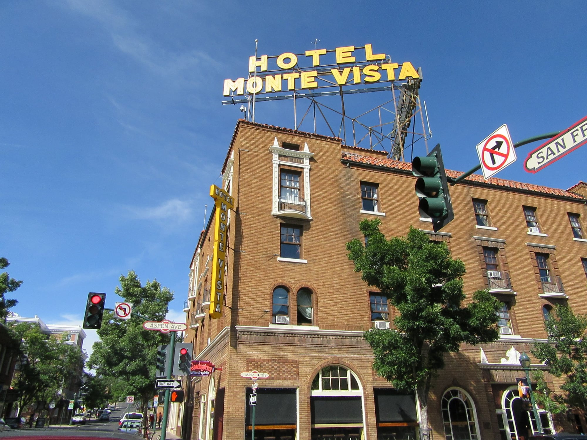
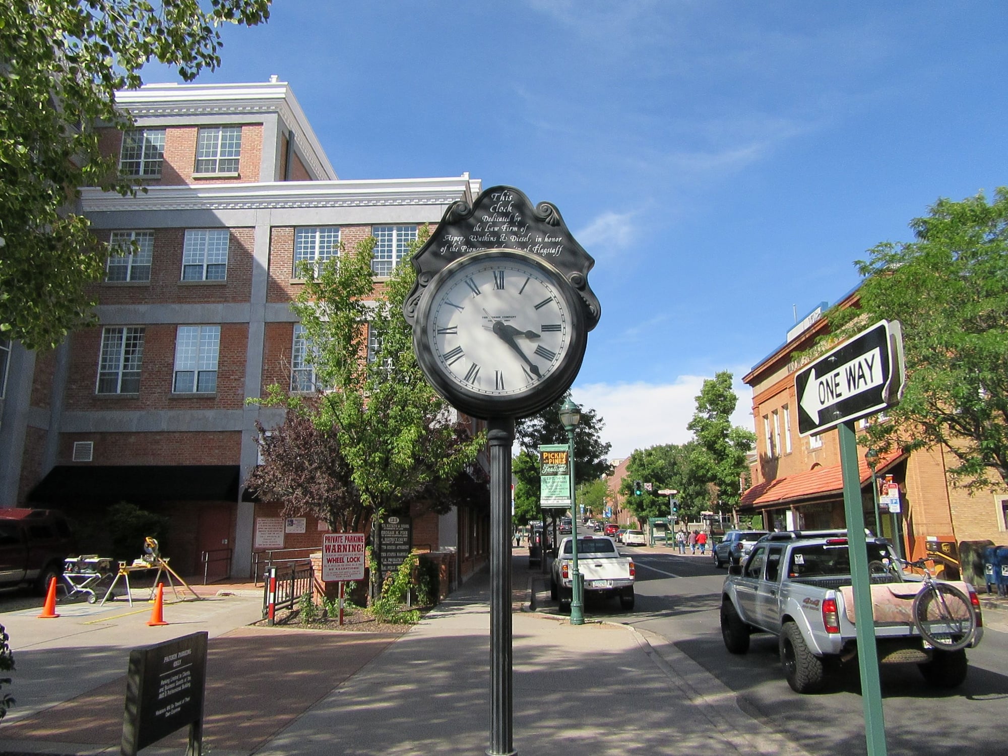
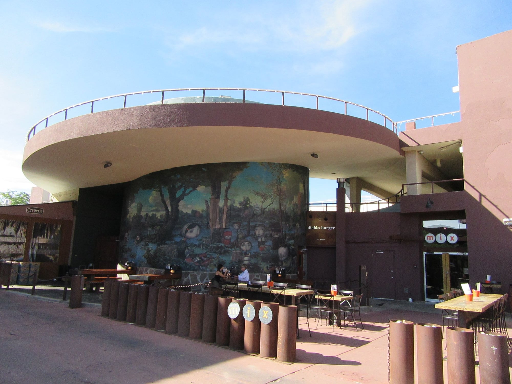
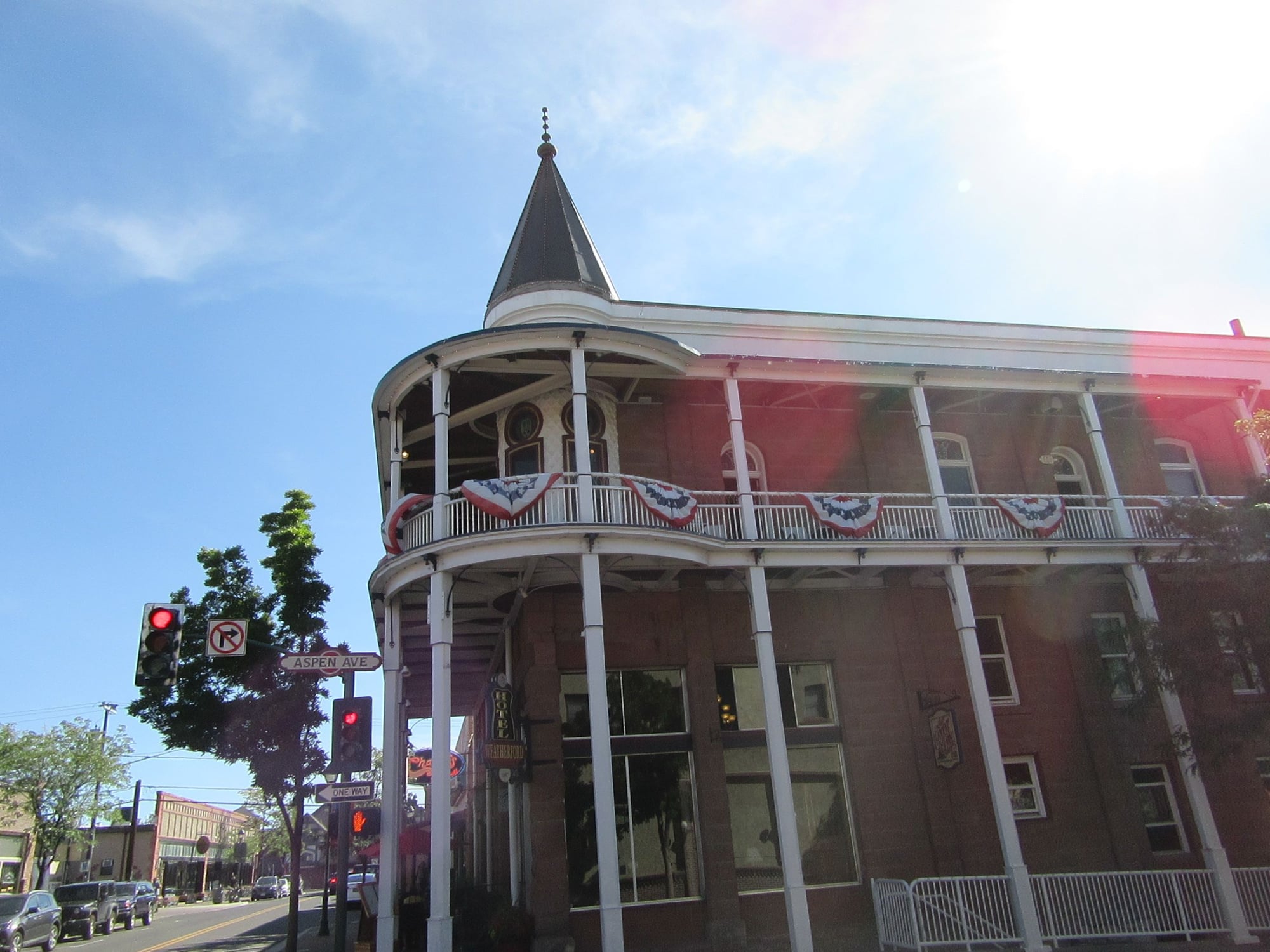
Tuesday I took a few pictures of Holbrook before heading west. I stopped in Winslow to take on fuel then continued west to Flagstaff. I found a parking place in Flagstaff and walked around and took numerous pictures of Historic Downtown Flagstaff and Route 66. Then I started my run south on Interstate 17 and lost elevation going from almost 7,000 feet to a little over 1,000 feet in the Phoenix area. I stopped at Rudy's BBQ in Goodyear for evening rations before continuing west. I spent the night in Quartzsite, AZ.
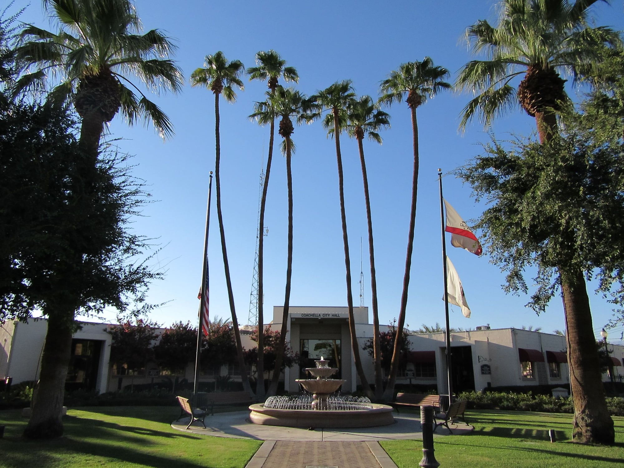
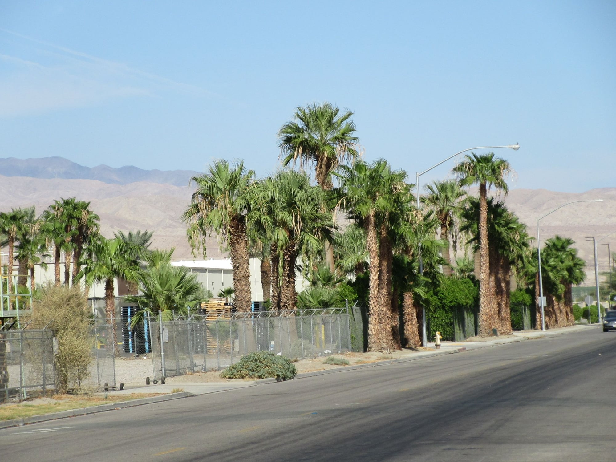
Wednesday it was hot. I took on a little bit of fuel in Ehrenberg, AZ and phoned up the receiver before heading across the Colorado River into Blythe, CA. The weigh scale in Blythe was closed so I proceeded on into Coachella. Apparently a typographical error was made in the address given to me so I went to where my GPS said and found...nothing. I found a place to stop and looked up the receiver and found the correct address which was one digit off and made delivery in the 108F heat of the low desert. I was at an elevation of 89 feet below sea level when i made delivery.
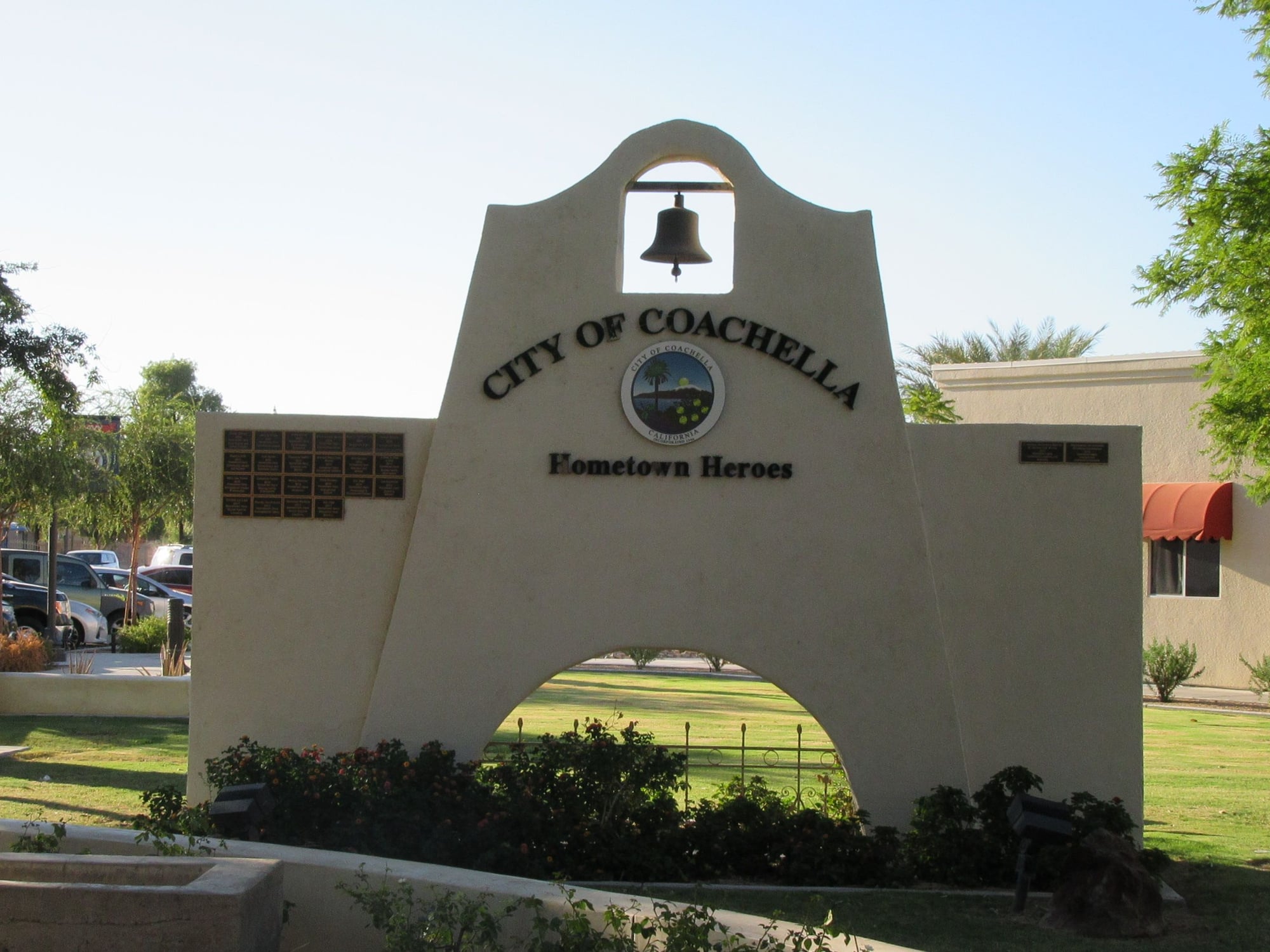
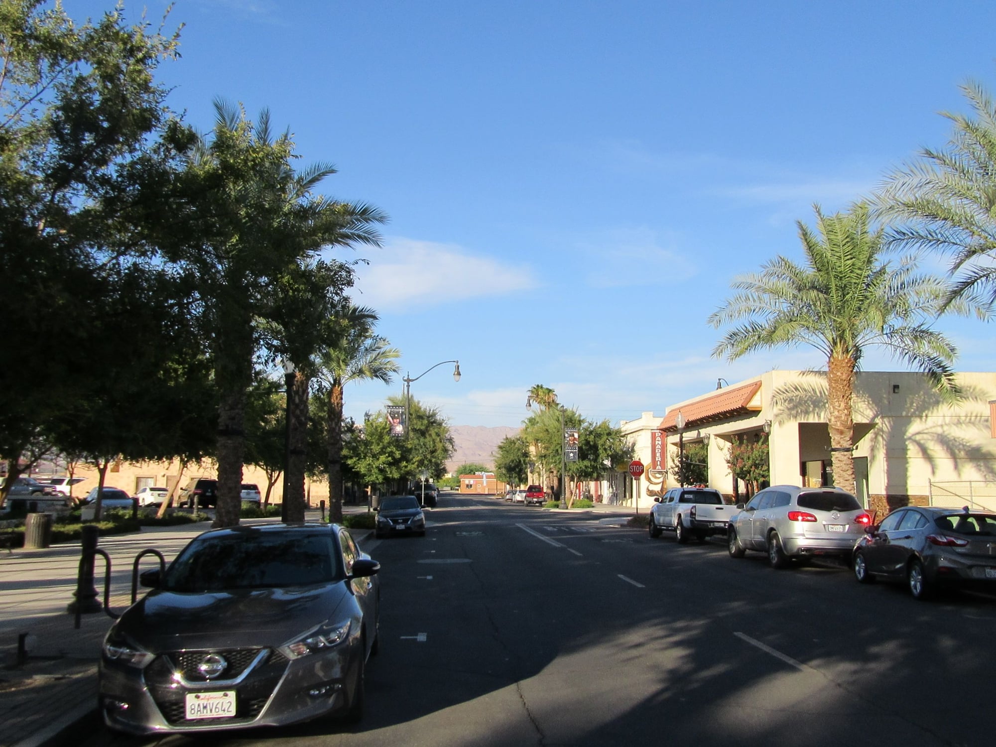
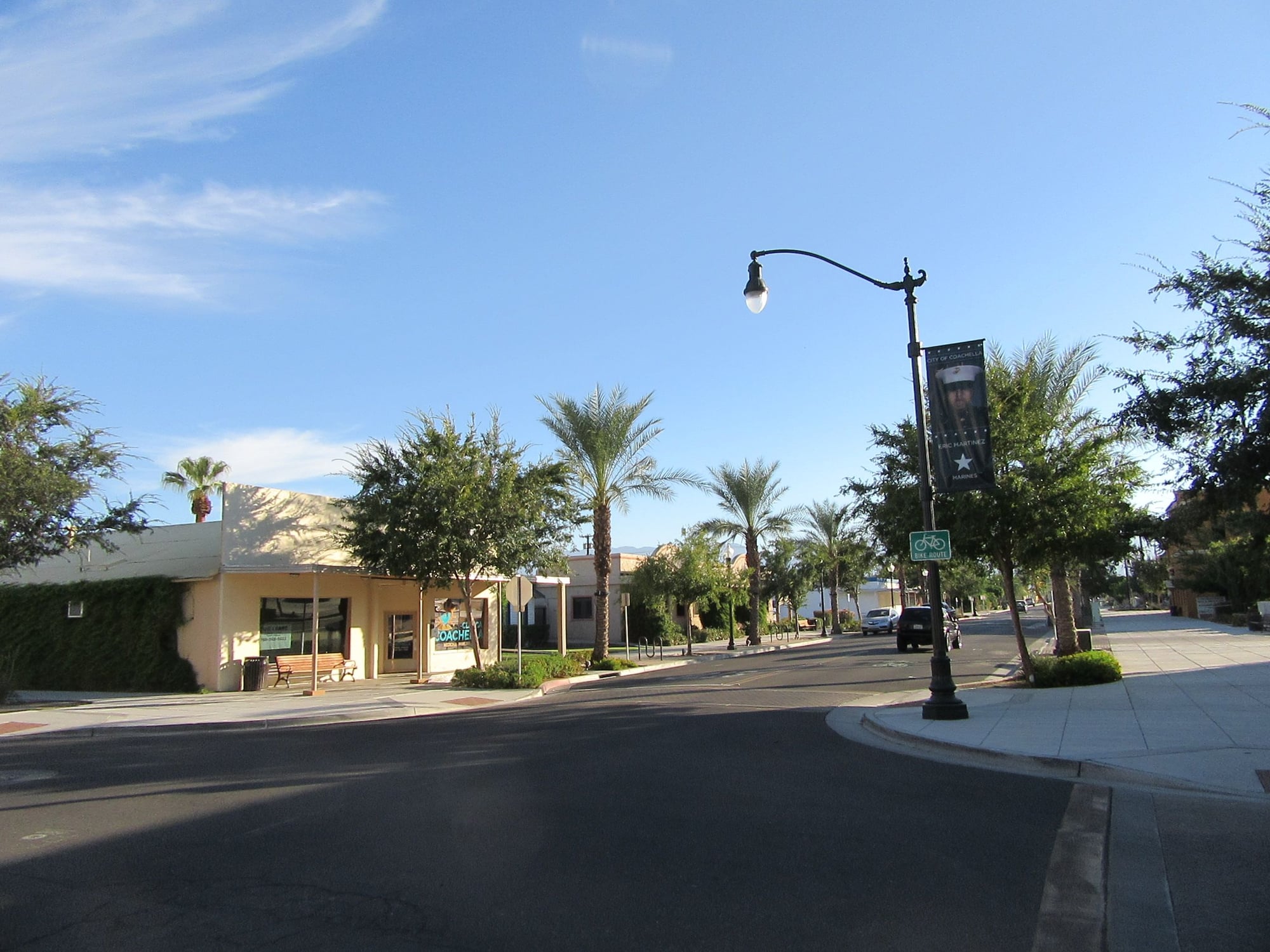
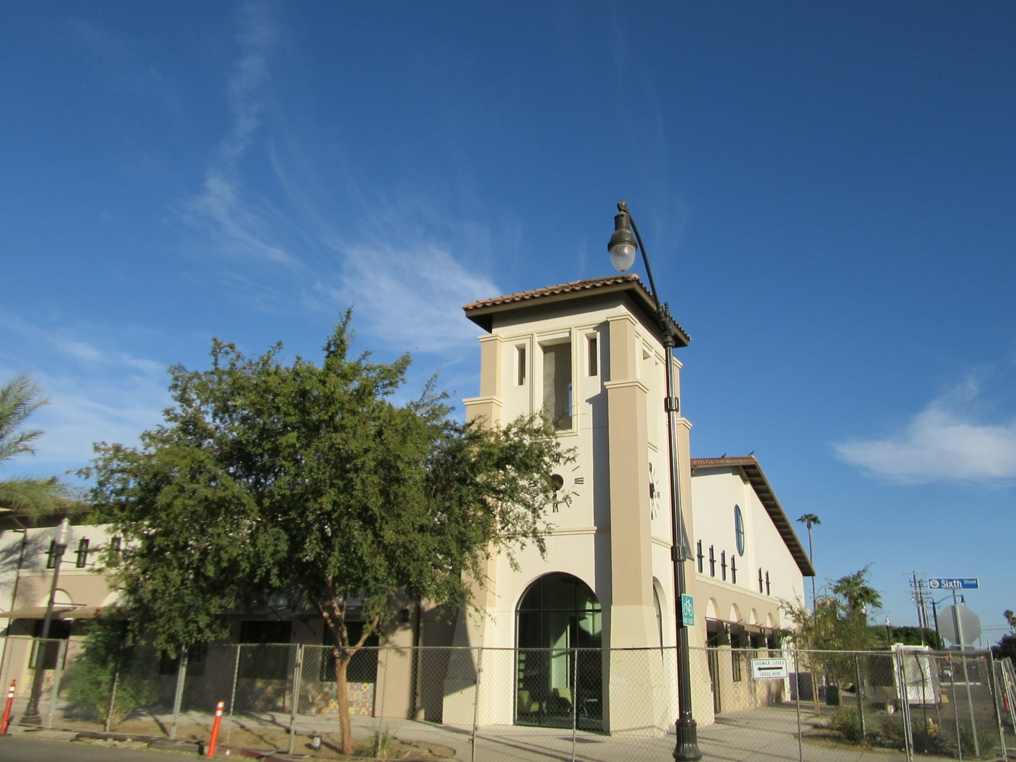
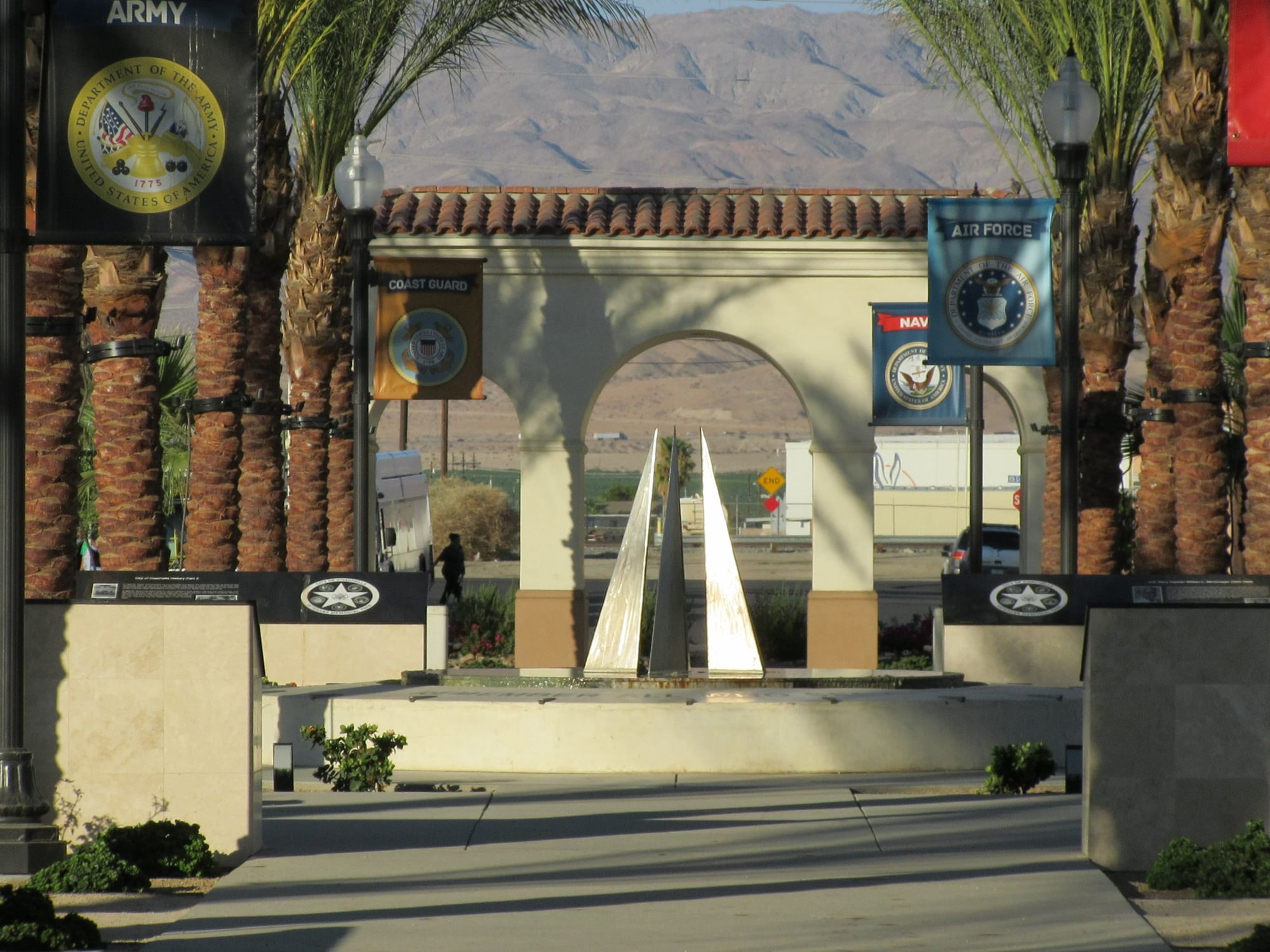
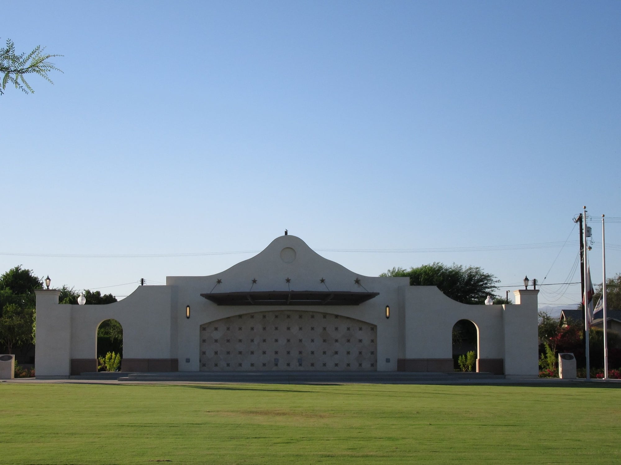
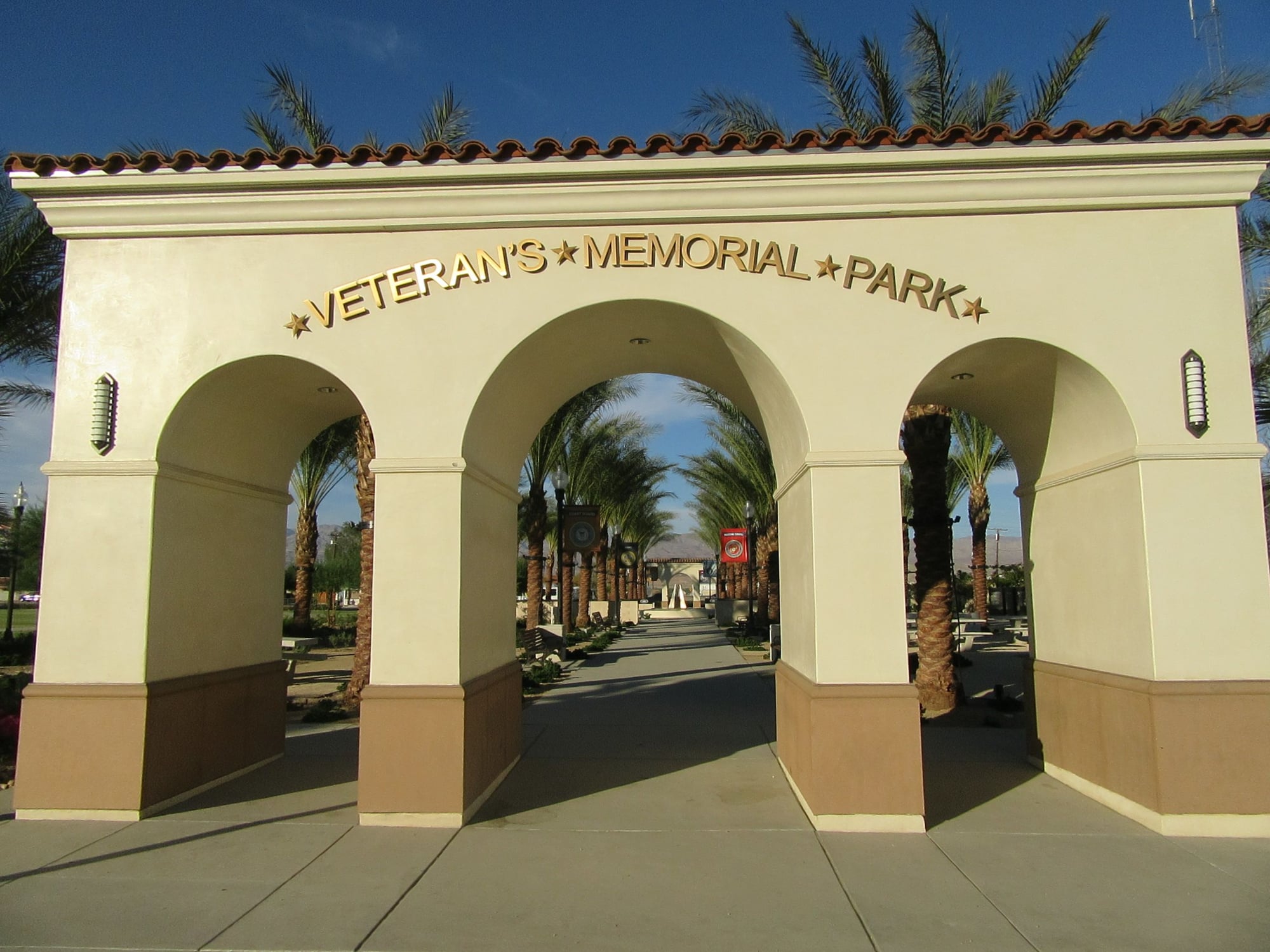
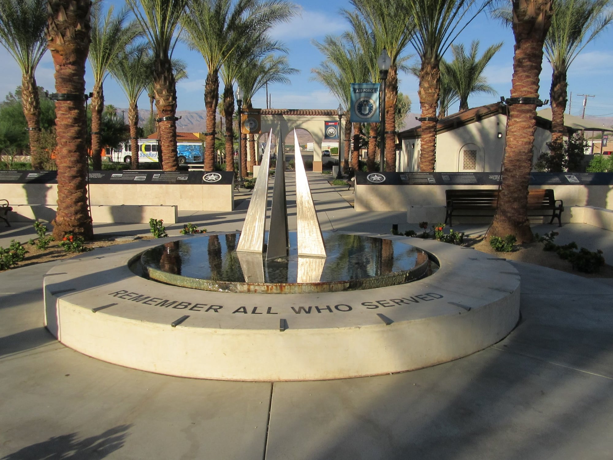
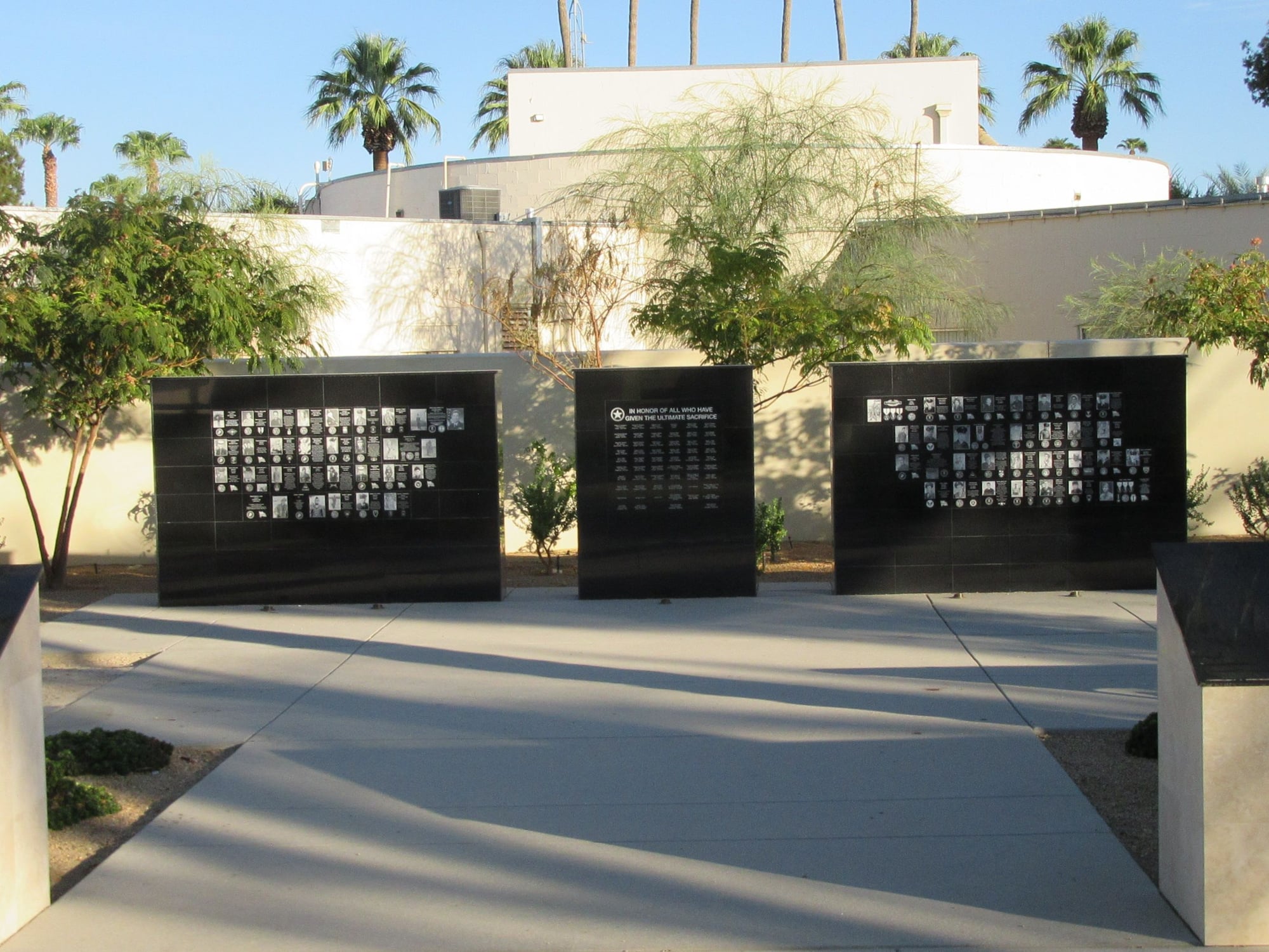
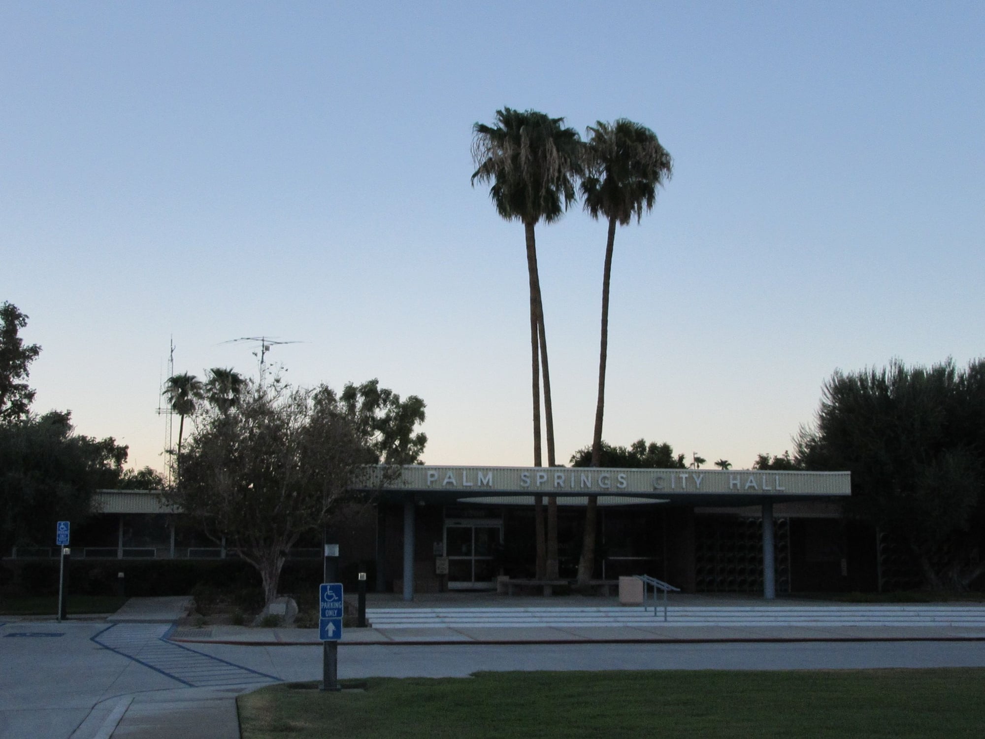
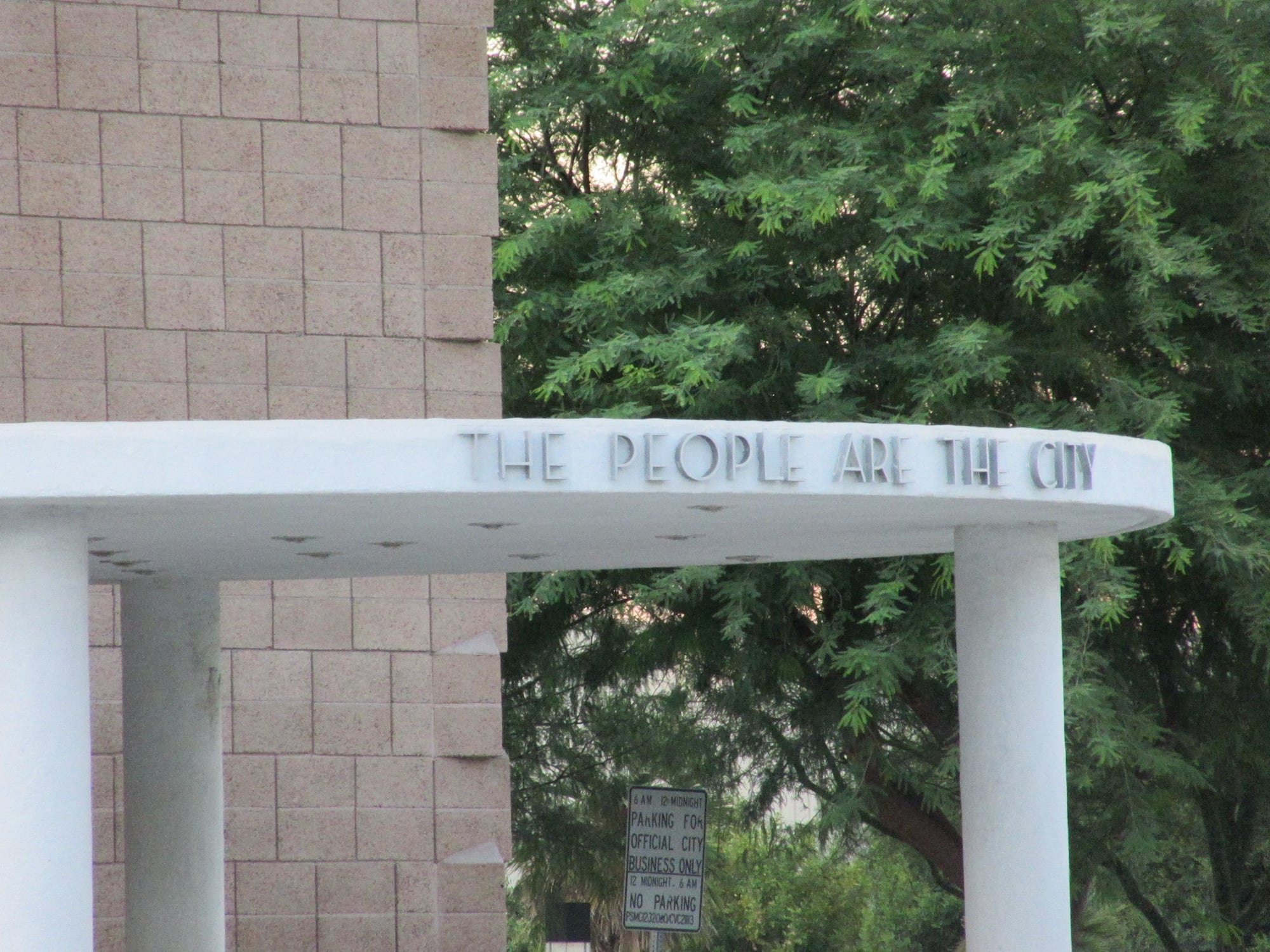
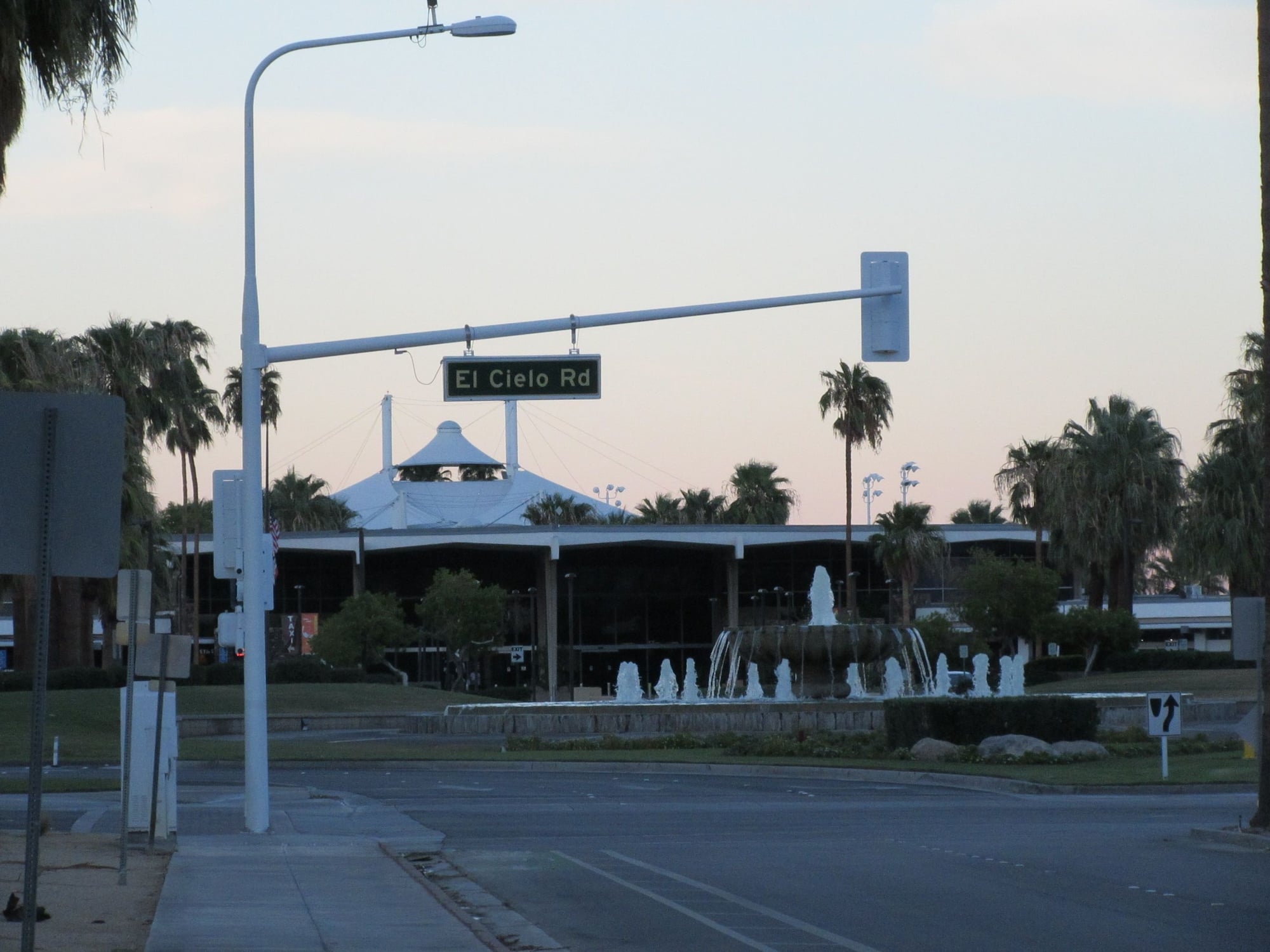
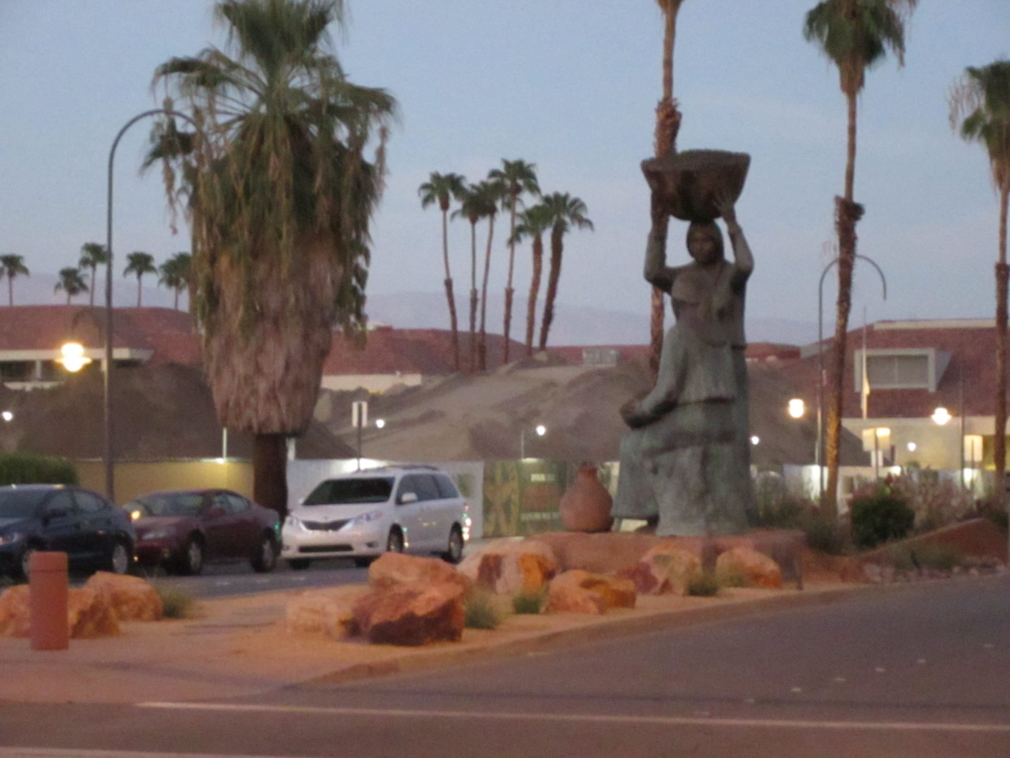
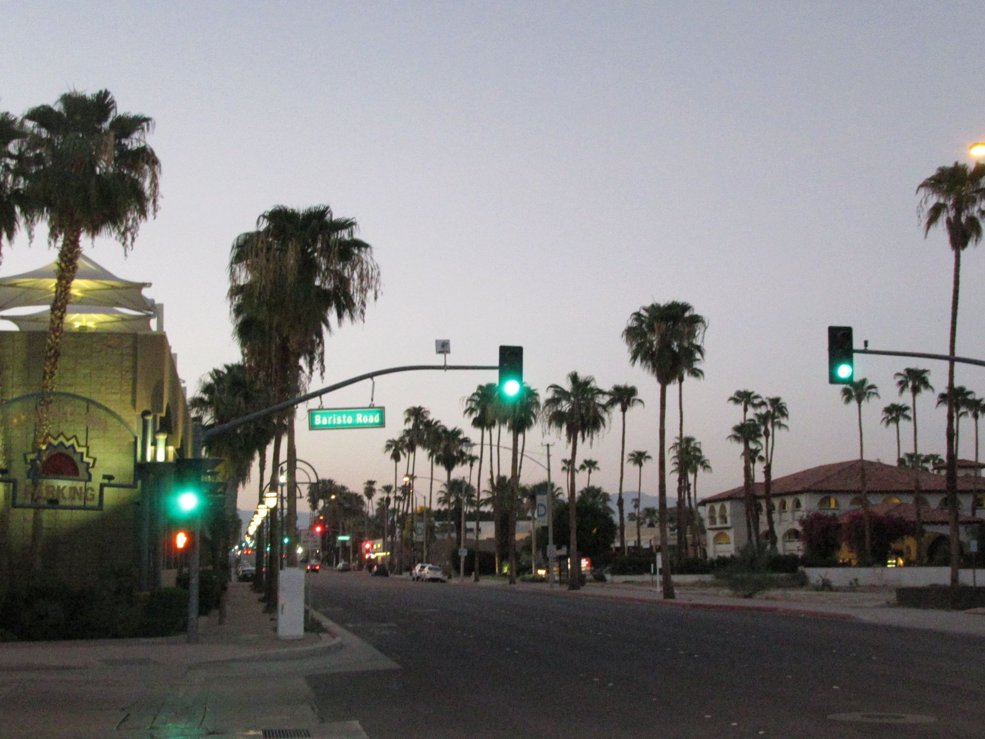
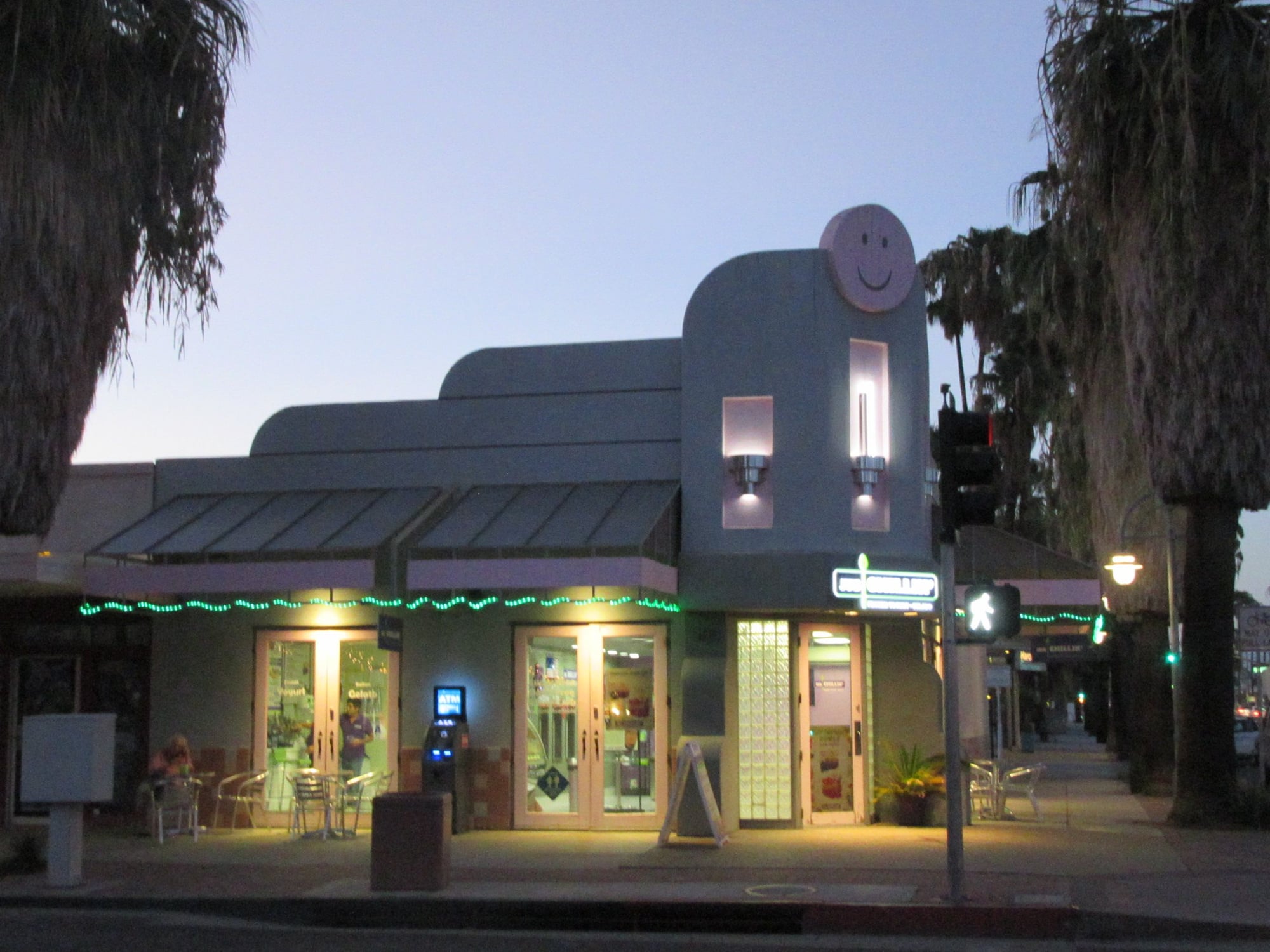
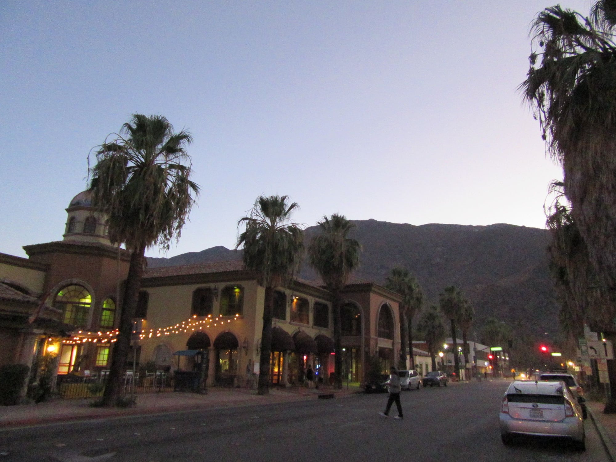
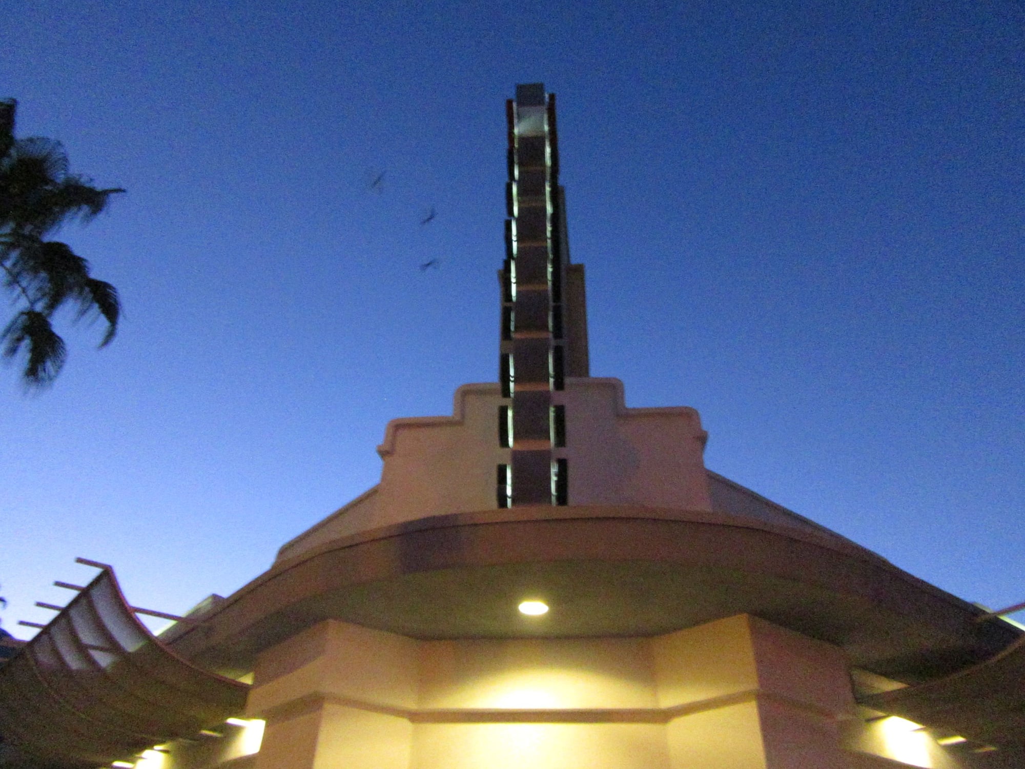
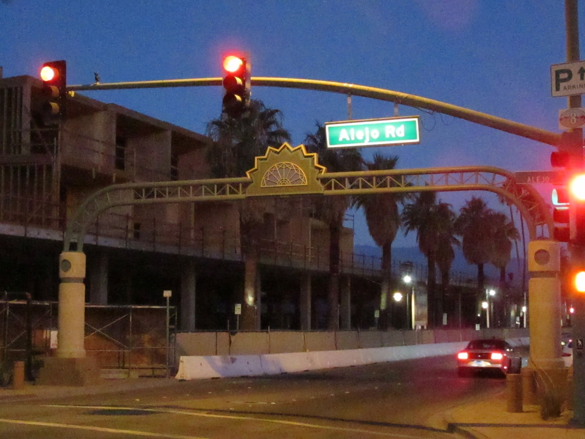
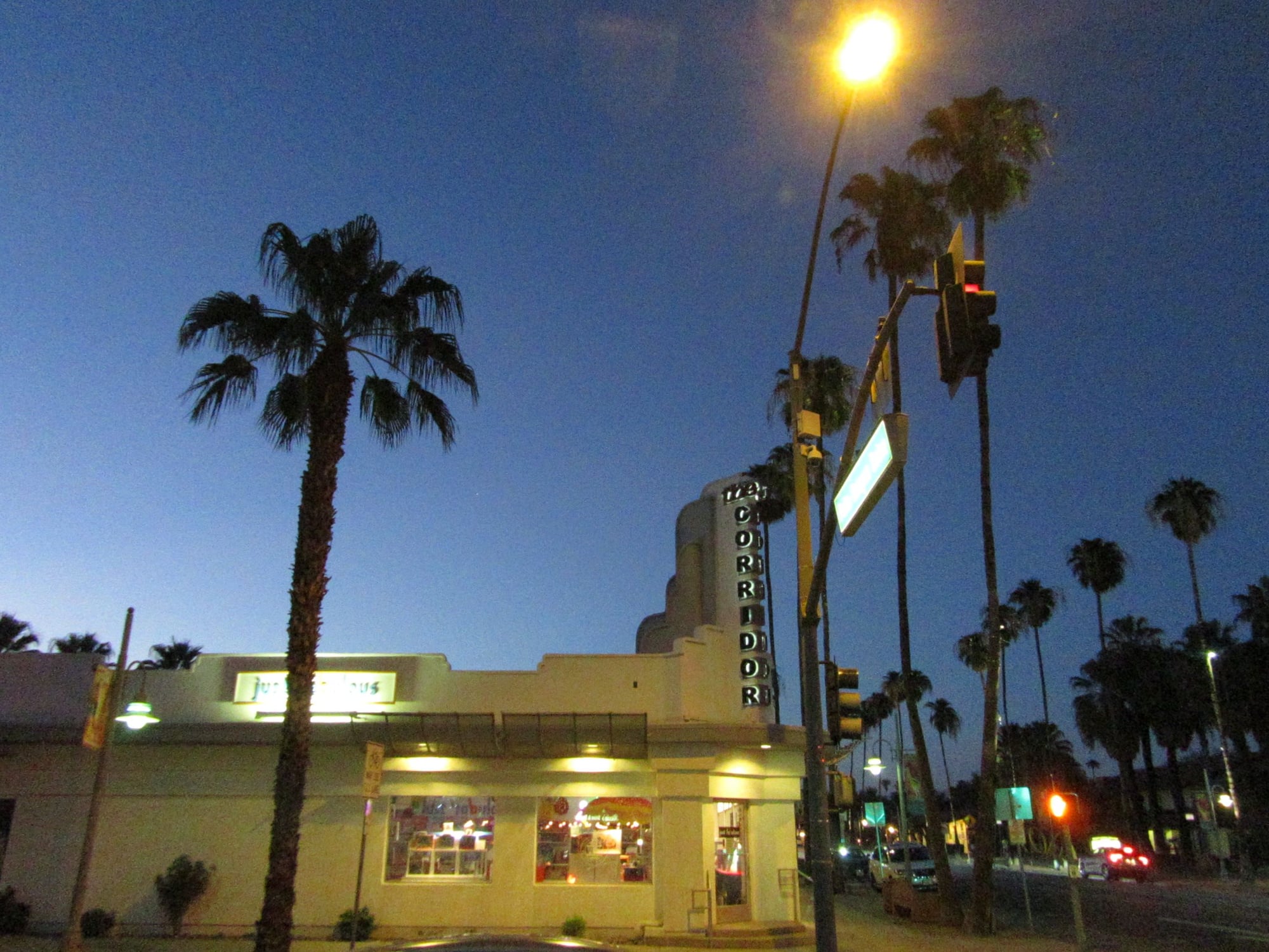
After delivery I got transport to Indio and hopped in a rental car. I went to downtown Coachella and took pictures. Then I went to downtown Palm Springs and took more pictures there. Then I headed into Banning and had evening rations at Sizzler. I took a few pictures in Banning and Beaumont before heading to Norco where I took on some fuel for the rental car. I then headed home and the following day I dropped off the rental car.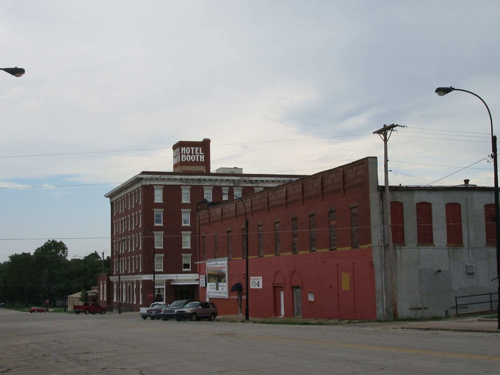
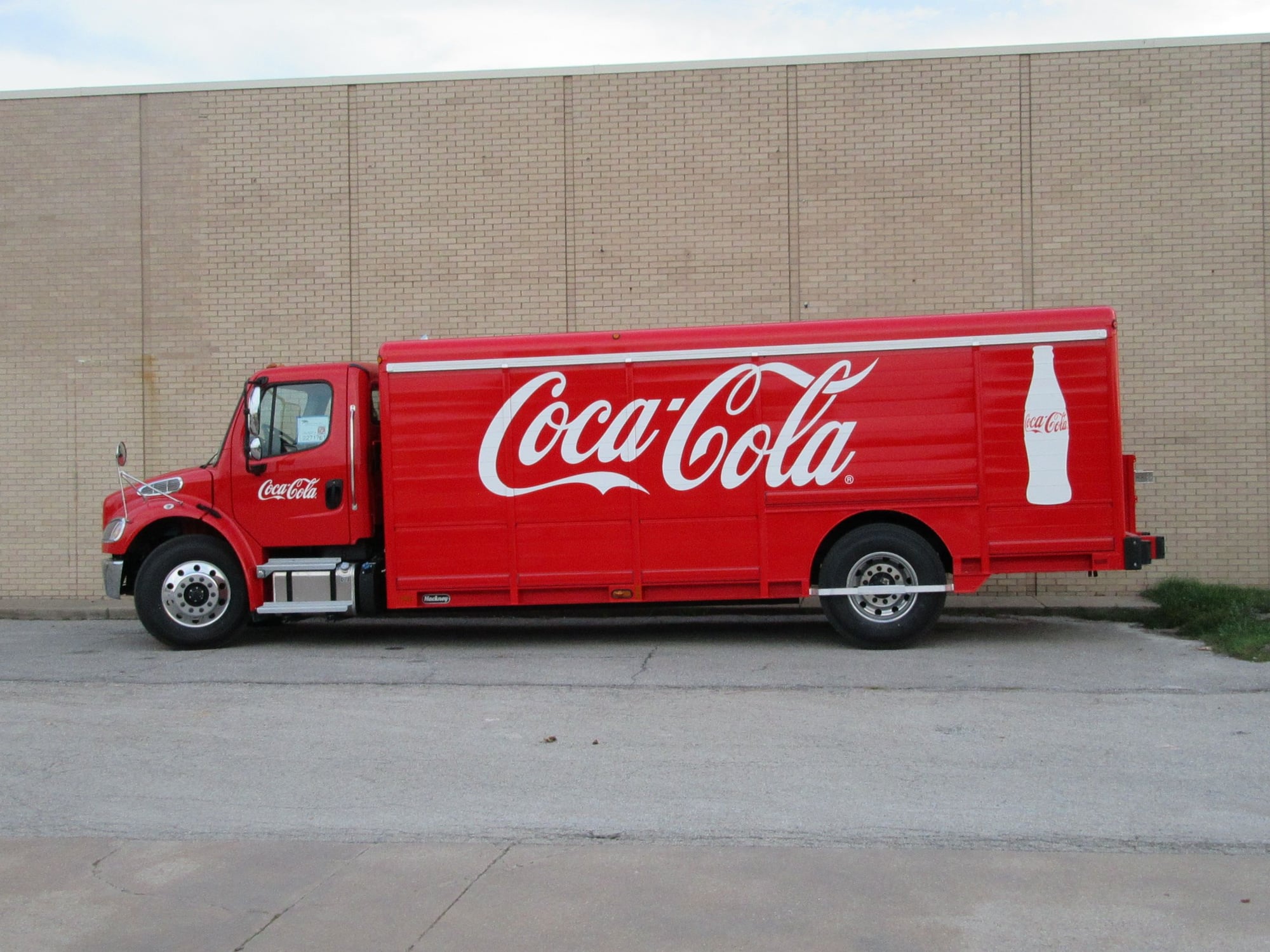
Independence, Kansas
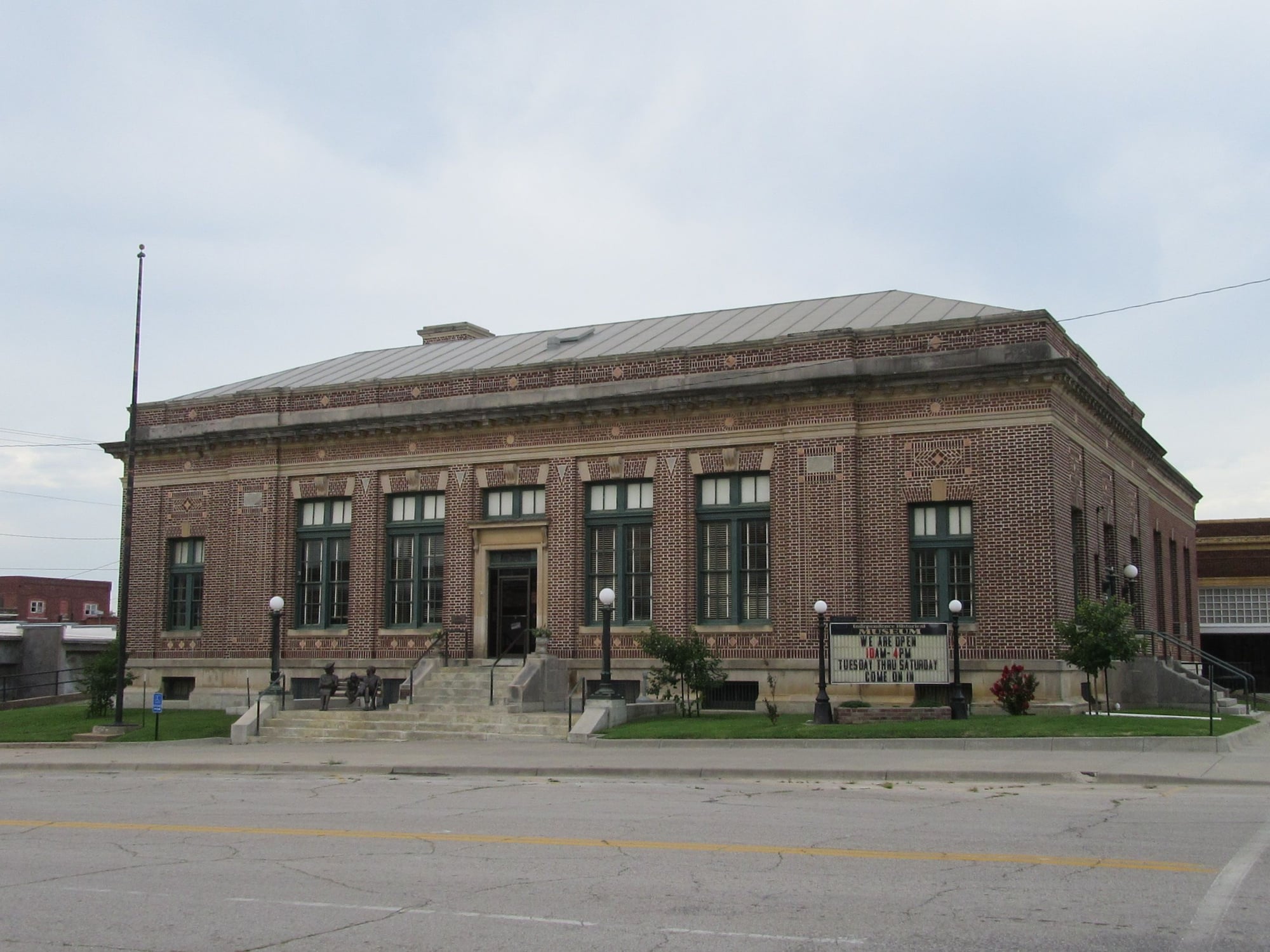
Independence, Kansas
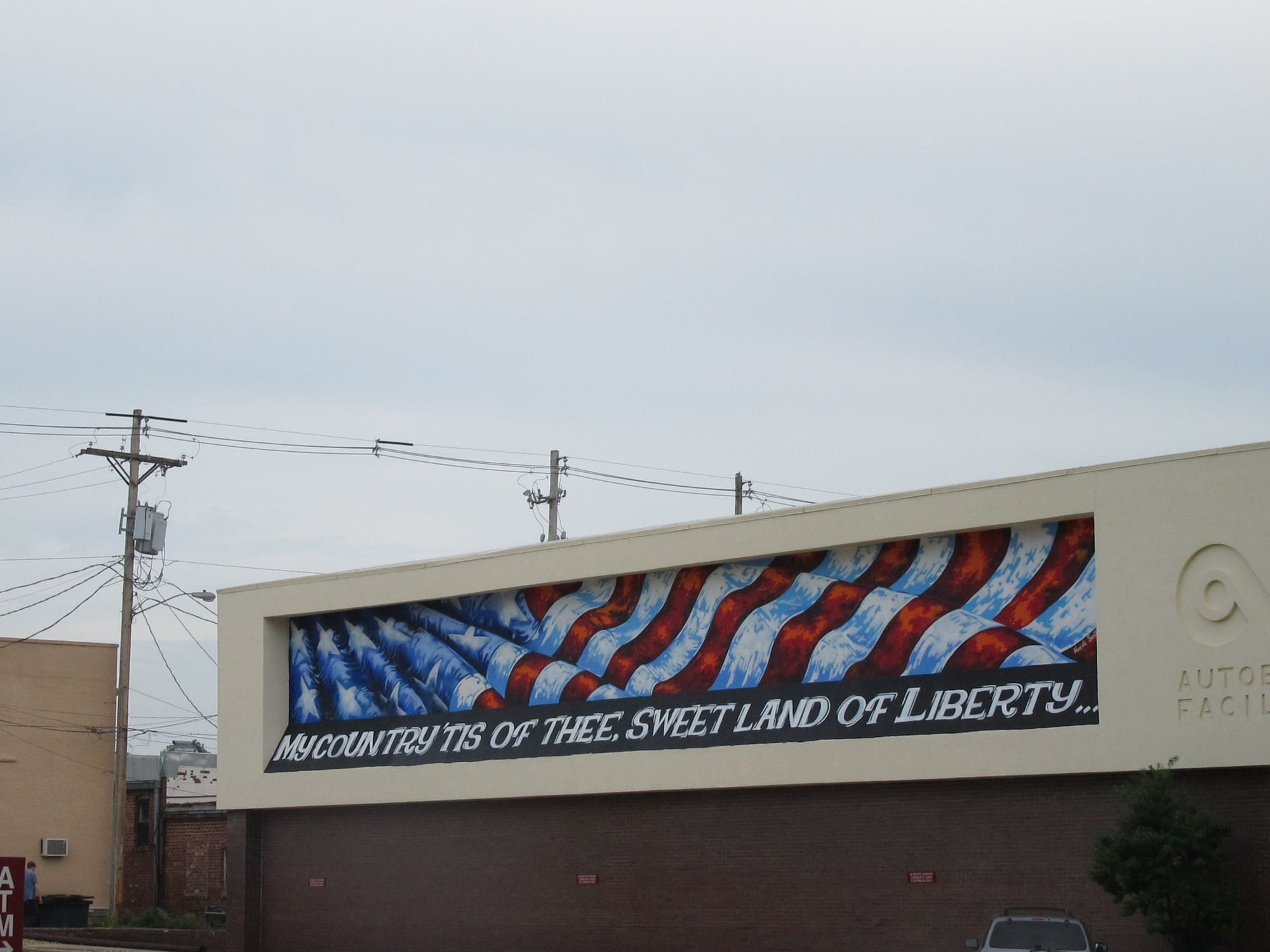
Independence, Kansas
My ride from Independence, Kansas to Coachella, California
Part II: 25th August to 29th August
Saturday 25th August I awoke in Tulsa, Oklahoma. I checked out of hotel and got in rental car to head to Kansas. North of Bartlesville, Oklahoma I experienced a few raindrops; in fact, those were the only raindrops of my entire tour of duty. I arrived at shipper in Independence, Kansas and loaded my gear into truck and did inspection. There were no safety triangles so dispatch directed me to get three road flares. I was not able to find flares at Walmart or O'Reilly Auto Parts. I finally succeeded in getting a set of three road flares at Auto Zone. Then I had late midday rations at Arby's. Then I headed to filling station to fill the tank of the rental car then I turned in the rental car and walked back to the truck.
Trip: Independence, KS to Coachella, CA 1,394 paid miles
Make: 2019 Freightliner
Model: Straight Truck
Transmission: Automatic
Route: US160 to US75 to Oklahoma 11 to Interstate 244 to Interstate 44 to Interstate 40 to Interstate 17 to Arizona 101 to Interstate 10 to Dillon Road to California 86
Highest elevation: 7,275 feet at Continental Divide Interstate 40 about 25 miles east of Gallup, NM or 47 miles east of the AZ/NM state line
Lowest elevation: 89 feet below sea level at the receiver in Coachella, CA
Highest diesel price USA: 3.499$ per gallon at Flying J Ehrenberg, AZ
Lowest diesel price USA: 2.969$ per gallon at Miller Brothers Independence, KS
Permits required: AZ and NM Trip Permits
I headed to a truckstop to get diesel only to find that location was out of diesel. So I headed to a filling station that did have diesel so I took on some fuel. Then I got underway and when the speed limit went up to 65mph I mashed the throttle to the floor and and found that this truck was governed to only 55mph. I stopped at Rib Crib in Bartlesville, OK for evening rations. After I topped off the fuel tank in Tulsa I got on the Turner Turnpike and there was some significant construction but outside the construction zone on the Turner Turnpike all vehicles were allowed as high as 75mph so I felt like I was poking along at 55mph. I spent the night in Oklahoma City, OK.
Sunday I awoke to a hot day with winds from the south. I stopped in El Reno, OK and took some pictures of the historic downtown and Route 66. I proceeded to Hinton, OK where I had midday rations at Sonic. I continued west and took on fuel in Sayre, OK before entering Texas. It got up to 100F in Shamrock, TX. I stopped in Groom, TX and took a picture of the Leaning Tower of Groom before heading to the Cross where I took some pictures at sunset. I went through Amarillo and stopped in Vega, TX to take on fuel before entering the state of New Mexico. I stopped at the Port of Entry in San Jon, NM and got Trip Permit before heading to Tucumcari, NM where I spent the night.
Monday it was warm but not as windy. I stopped at the post office to mail something then took some pictures of downtown Tucumcari before heading west. I stopped in Santa Rosa, NM for midday rations then headed to Moriarty, NM where I took on fuel and learned there was a major crash on the westbound 40 in Albuquerque resulting in the blockage of three lanes. I spent some time in Moriarty before continuing west and there was no evidence of a crash by the time I made it to Albuquerque. I stopped on the west side of Albuquerque for a pit stop and took pictures of the Rio Puerco Bridge. Then I continued to Grants where I had evening rations at Lotaburger and I took a few pictures of Route 66 at night with neon signs. I made it to Holbrook, AZ where I spent the night.
Tuesday I took a few pictures of Holbrook before heading west. I stopped in Winslow to take on fuel then continued west to Flagstaff. I found a parking place in Flagstaff and walked around and took numerous pictures of Historic Downtown Flagstaff and Route 66. Then I started my run south on Interstate 17 and lost elevation going from almost 7,000 feet to a little over 1,000 feet in the Phoenix area. I stopped at Rudy's BBQ in Goodyear for evening rations before continuing west. I spent the night in Quartzsite, AZ.
Wednesday it was hot. I took on a little bit of fuel in Ehrenberg, AZ and phoned up the receiver before heading across the Colorado River into Blythe, CA. The weigh scale in Blythe was closed so I proceeded on into Coachella. Apparently a typographical error was made in the address given to me so I went to where my GPS said and found...nothing. I found a place to stop and looked up the receiver and found the correct address which was one digit off and made delivery in the 108F heat of the low desert. I was at an elevation of 89 feet below sea level when i made delivery.
After delivery I got transport to Indio and hopped in a rental car. I went to downtown Coachella and took pictures. Then I went to downtown Palm Springs and took more pictures there. Then I headed into Banning and had evening rations at Sizzler. I took a few pictures in Banning and Beaumont before heading to Norco where I took on some fuel for the rental car. I then headed home and the following day I dropped off the rental car.
Independence, Kansas
Independence, Kansas
Independence, Kansas
My ride from Independence, Kansas to Coachella, California

 Sep 2, 2018, 12:13 am
#9
Original Poster
Join Date: Aug 2004
Location: Let me check my Logbook
Programs: Southwest Rapid Rewards; AAdvantage; Alaska Mileage Plan; Wyndham Rewards; Choice Hotels
Posts: 2,350
Old Route 66 in New Mexico and Arizona
West side of Albuquerque, New Mexico
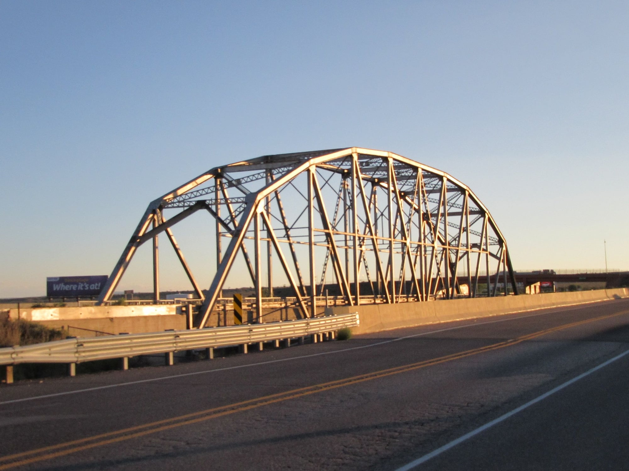
Rio Puerco Bridge Albuquerque, New Mexico
Grants, New Mexico
Grants, New Mexico
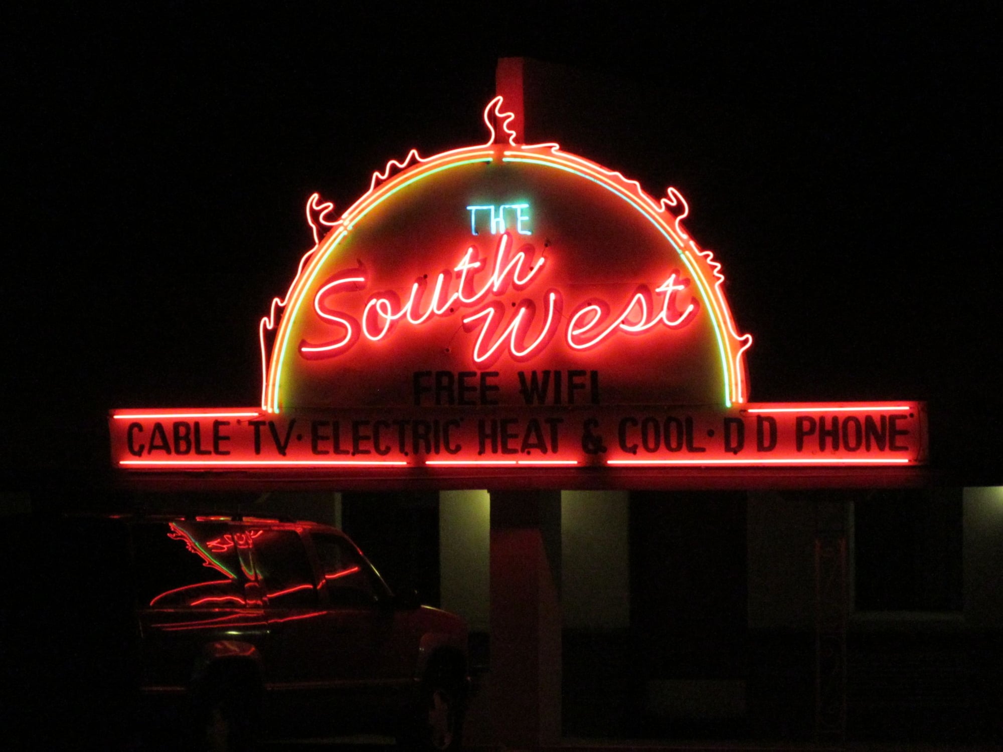
Grants, New Mexico
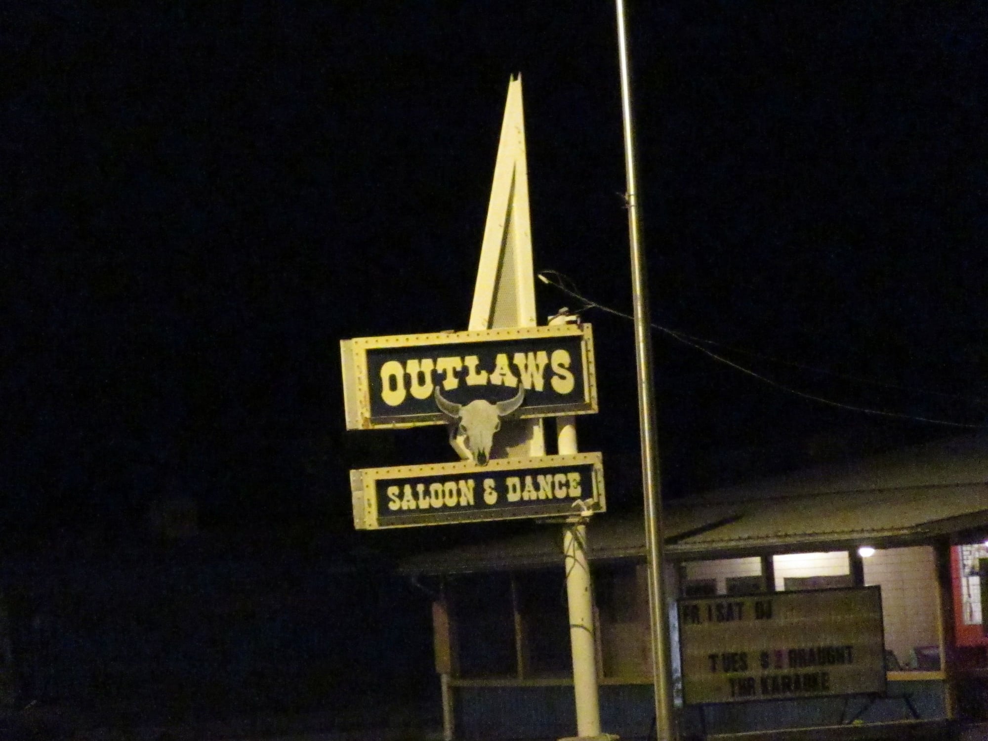
Grants, New Mexico
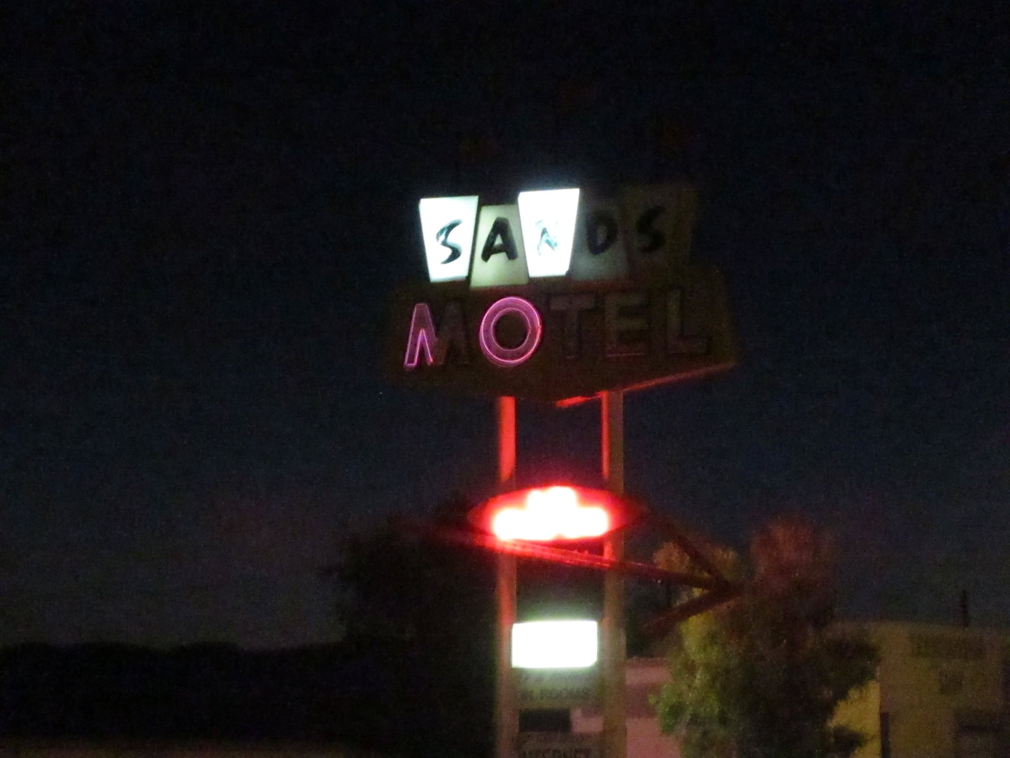
Grants, New Mexico
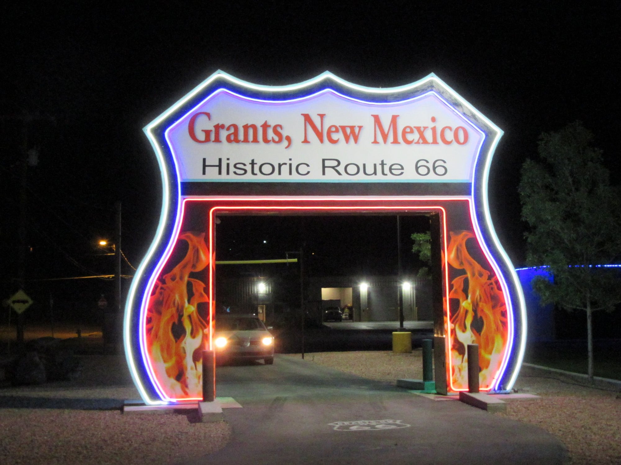
Grants, New Mexico
Holbrook, Arizona
Holbrook, Arizona
 Sep 2, 2018, 12:27 am
#11
Original Poster
Join Date: Aug 2004
Location: Let me check my Logbook
Programs: Southwest Rapid Rewards; AAdvantage; Alaska Mileage Plan; Wyndham Rewards; Choice Hotels
Posts: 2,350
Interstate 17 Arizona
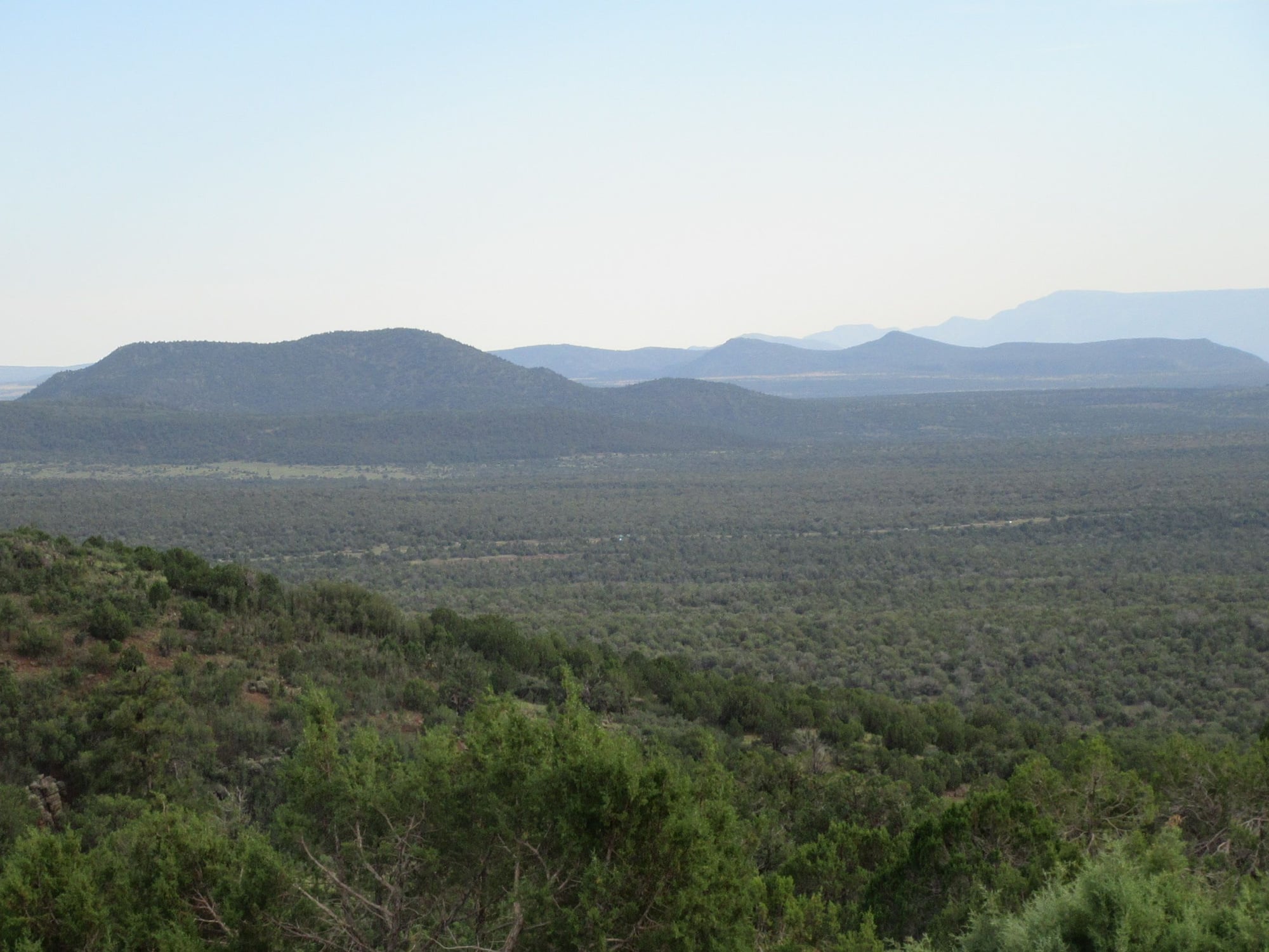
10 miles south of Munds Park, Arizona
10 miles south of Munds Park, Arizona
10 miles south of Munds Park, Arizona
10 miles south of Munds Park, Arizona
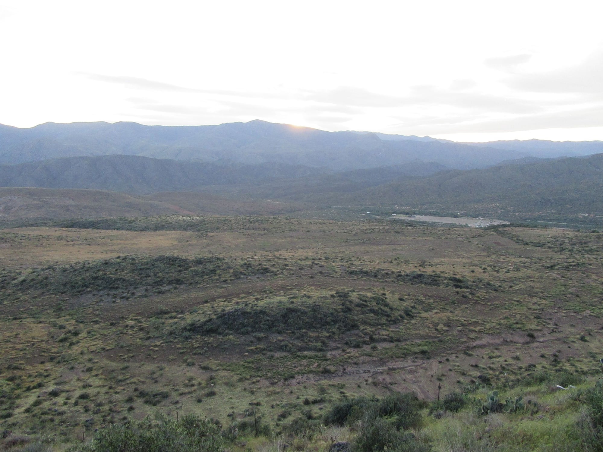
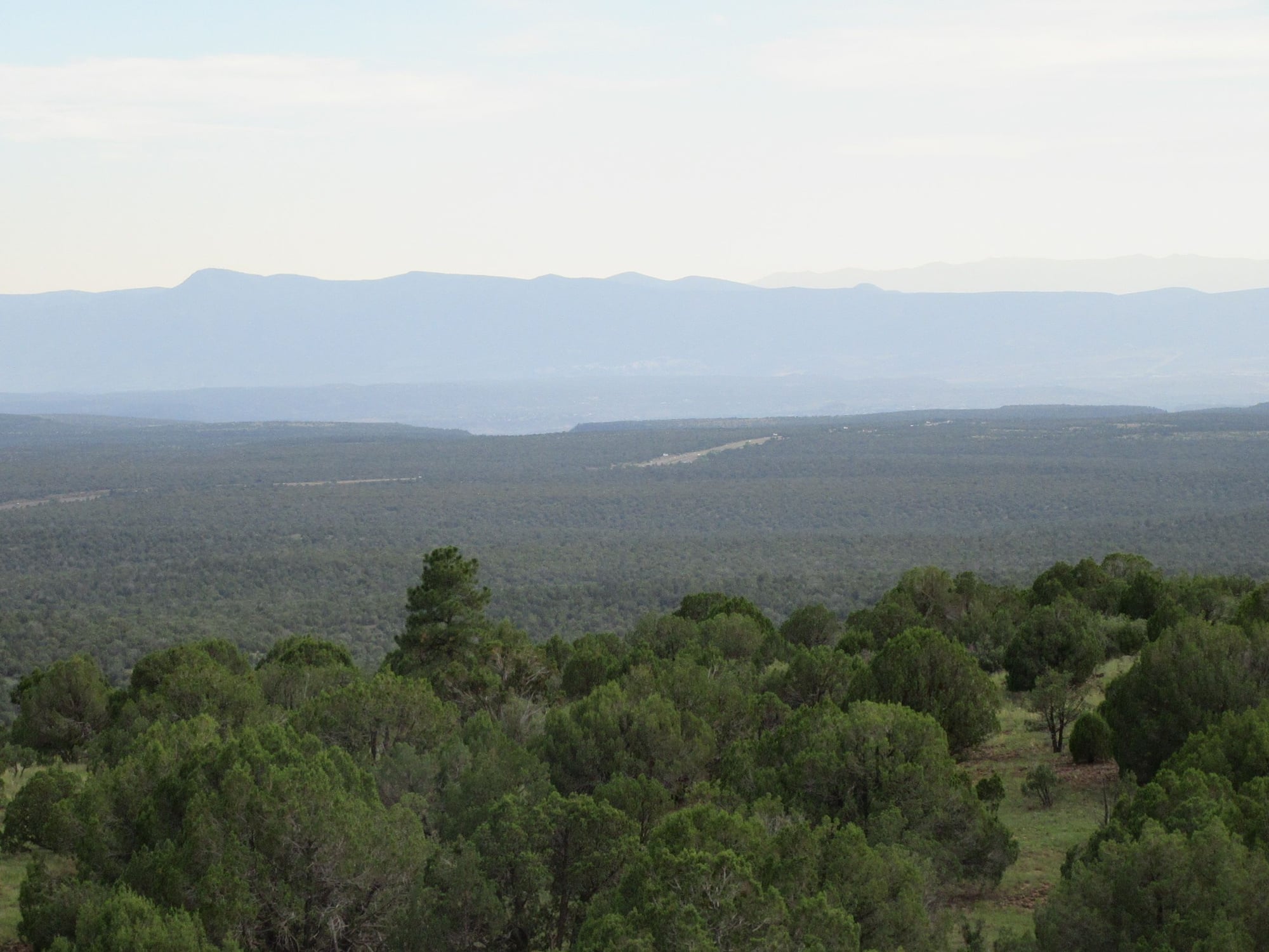
Sunset Point Rest Area about 8 miles north of Black Canyon City, Arizona

Sunset Point Rest Area about 8 miles north of Black Canyon City, Arizona

Sunset Point Rest Area about 8 miles north of Black Canyon City, Arizona
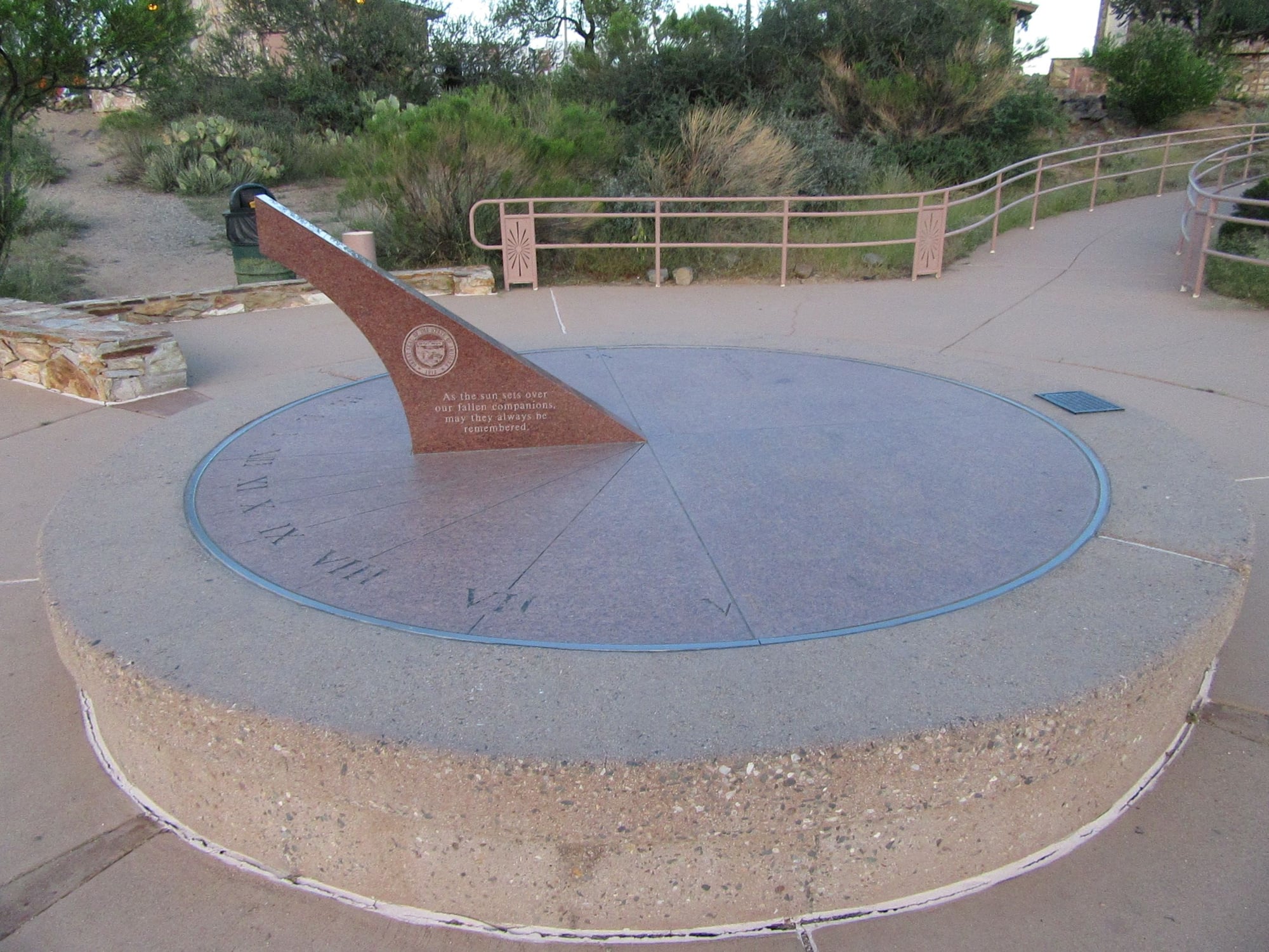
Sunset Point Rest Area about 8 miles north of Black Canyon City, Arizona
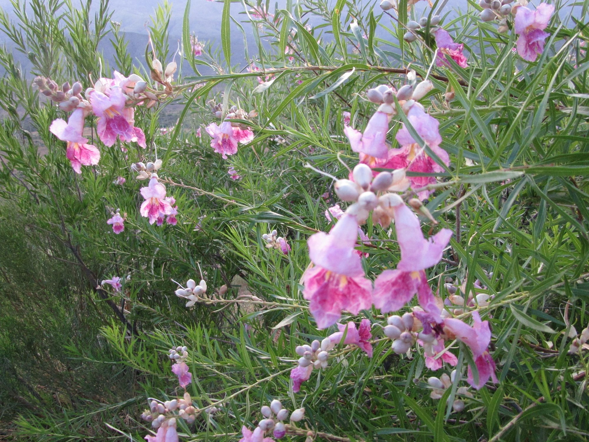
Sunset Point Rest Area about 8 miles north of Black Canyon City, Arizona
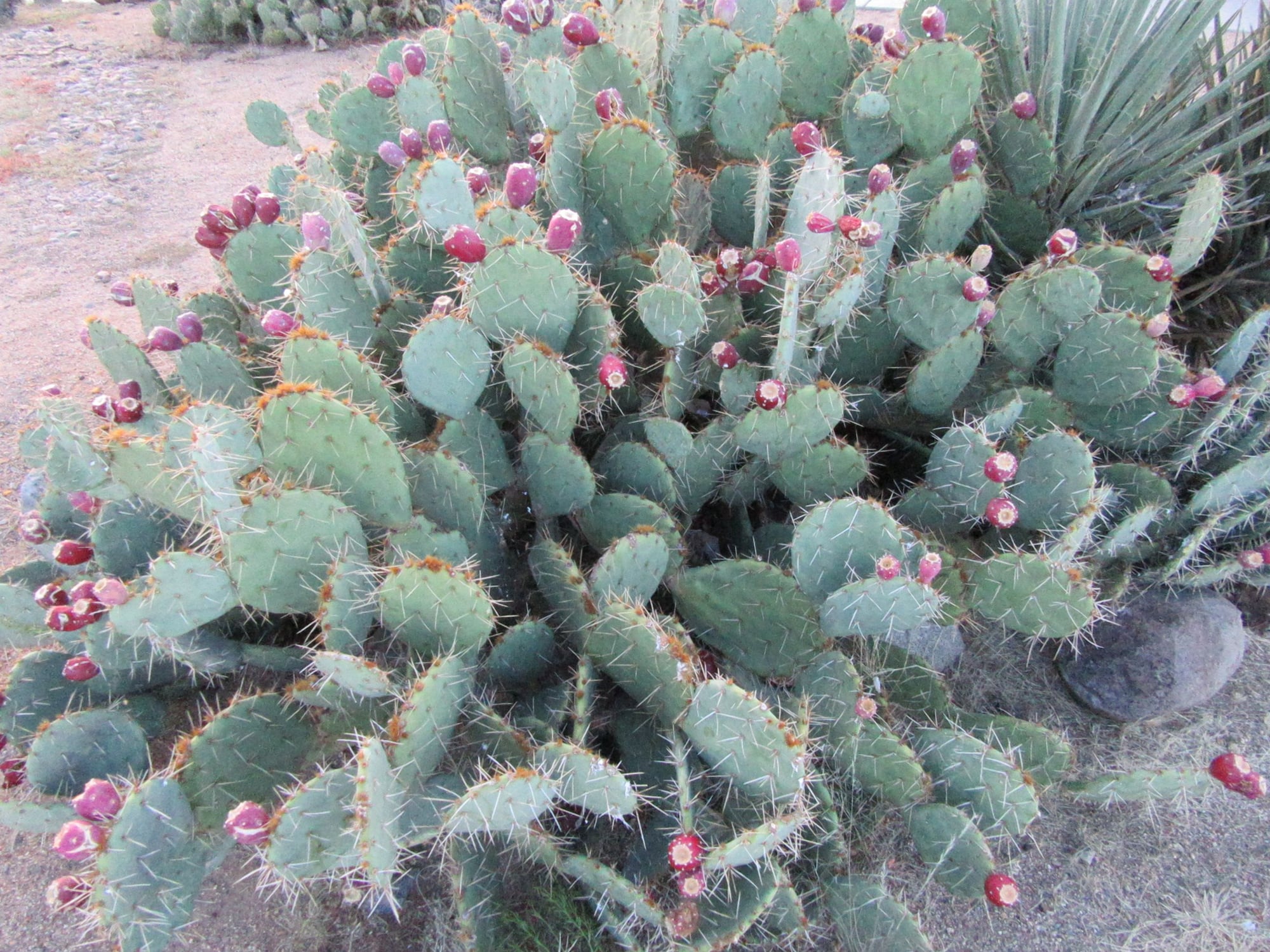
Sunset Point Rest Area about 8 miles north of Black Canyon City, Arizona